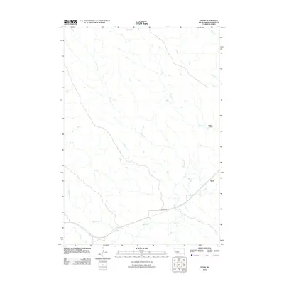
2012 Map of Teton
USGS Topo · Published 2012About this map
Bad River meanders across this Stanley County landscape, creating a wide drainage basin fed by a network of seasonal tributaries. The settlement of Teton sits on the eastern edge of the map, positioned near the river where local transportation routes converge. The terrain is defined by the erosion patterns of several creeks, including Stranger Cr and Powell Cr, which cut through the plains toward the main river valley. A notable topographic feature, Ballard Canyon, provides a distinct break in the elevation to the northeast. Human activity is largely focused along Bad River Rd, which follows the river's path, while the rest of the area consists of expansive open country marked by watercourses like Ash Cr and Broken Neck Cr. This 2012 survey illustrates the relationship between the area's few established roads and the natural drainage system of the West River region.
Find a feature on this map
10 named features on this map. Tap any name to fly to it.
Don’t see what you’re looking for? This feature index may not catch every label — zoom into the map to look around manually.
Map Details
Editions of this 2012 Teton Map
This is the sole edition of this map. No revisions or reprints were ever made.
Other maps of this area

1924 · Pierre
USGS Topo · 1:62,500

1937 · Oahe
USGS Topo · 1:62,500

1953 · Teton
USGS Topo · 1:24,000

1953 · Oahe SW
USGS Topo · 1:24,000

1953 · Pierre SW
USGS Topo · 1:24,000

1953 · Wendte
USGS Topo · 1:24,000

1953 · Wendte NE
USGS Topo · 1:24,000

1953 · Pierre 3 NW
USGS Topo · 1:24,000

1954 · Pierre
USGS Topo · 1:250,000

1958 · Pierre
USGS Topo · 1:250,000