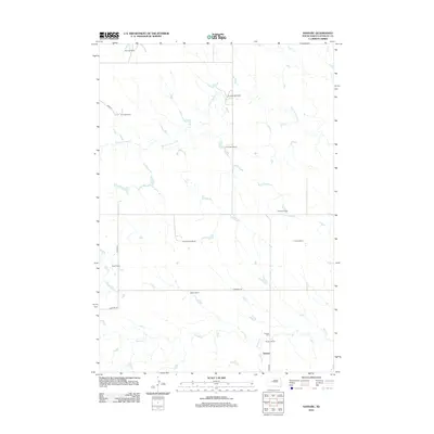
2012 Map of Sansarc
USGS Topo · Published 2012About this map
Sansarc serves as the focal point for this Stanley County landscape, characterized by a network of ranching properties and seasonal watercourses. The local geography is defined by the drainage basins of Sansarc Cr and the N Fork Sansarc Cr, which weave between family-held lands such as the Walker Ranch and Borden Ranch. This territory remains deeply rooted in its agricultural heritage, with the Sansarc Cem providing a genealogical anchor for the community. The mapping of specific holdings, including the Norman Ranch, Stoeser Ranch, and Olson Ranch, illustrates a pattern of large-scale land management typical of the South Dakota plains. Secondary roads like Sansarc Rd and Hayes Rd provide the primary infrastructure connecting these remote homesteads and ranching operations across the prairie.
Find a feature on this map
18 named features on this map. Tap any name to fly to it.
Don’t see what you’re looking for? This feature index may not catch every label — zoom into the map to look around manually.
Map Details
Editions of this 2012 Sansarc Map
This is the sole edition of this map. No revisions or reprints were ever made.
Other maps of this area

1954 · Pierre
USGS Topo · 1:250,000

1956 · Alleman Station
USGS Topo · 1:24,000

1956 · Sansarc NE
USGS Topo · 1:24,000

1956 · Crockett Mountains
USGS Topo · 1:24,000

1958 · Pierre
USGS Topo · 1:250,000

1980 · Princes Ranch
USGS Topo · 1:25,000

1982 · Sansarc
USGS Topo · 1:24,000

1982 · Whiteman Ranch
USGS Topo · 1:24,000

1983 · Bentley Ranch
USGS Topo · 1:24,000

1983 · Hayes North
USGS Topo · 1:24,000