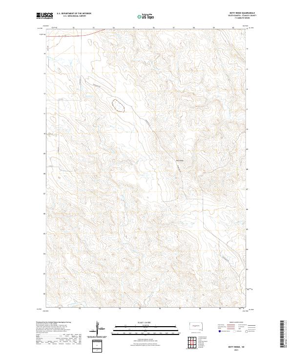
2021 Map of Doty Ridge
USGS Topo · Published 2021About this map
Doty Ridge defines the central topography of this Stanley County landscape, where the high ground divides numerous drainage systems including Brush Cr and Lance Cr. The settlement pattern is characterized by widely dispersed ranching operations and small communities such as Lacy, Van Metre, and Wendte. These locales, along with family-named sites like Fratzke Ranch and Hohrman Ranch, reflect the enduring agricultural character of the region. A network of rural roads, including Bunkhouse Rd and 262nd Ave, provides access across the township and range divisions. The southern portion of the map is marked by the meandering path of Plum Cr, while Tomahawk Cr cuts through the eastern sections, illustrating the complex hydrology that has shaped land use and property boundaries in this part of South Dakota.
Find a feature on this map
23 named features on this map. Tap any name to fly to it.
Don’t see what you’re looking for? This feature index may not catch every label — zoom into the map to look around manually.
Map Details
Editions of this 2021 Doty Ridge Map
This is the sole edition of this map. No revisions or reprints were ever made.
Other maps of this area

1937 · Oahe
USGS Topo · 1:62,500

1951 · Van Metre
USGS Topo · 1:24,000

1951 · Capa NW
USGS Topo · 1:24,000

1953 · Oahe SW
USGS Topo · 1:24,000

1953 · Wendte
USGS Topo · 1:24,000

1954 · Pierre
USGS Topo · 1:250,000

1958 · Pierre
USGS Topo · 1:250,000

1980 · Princes Ranch
USGS Topo · 1:25,000
1982 · Doty Ridge
USGS Topo · 1:24,000
1982 · Lacy
USGS Topo · 1:24,000