Old Maps of Parmelee, South Dakota for Hiking & Exploration
Hike through history with 34 historic maps of Parmelee. Explore old trails, ghost towns, and forgotten backroads — perfect for outdoor adventurers and local explorers.
- Rediscover forgotten places: Map out old mining camps, roads, and footpaths that no longer exist on modern maps.
- Layer with modern tools: Combine with LiDAR or satellite views to plan hikes through historical terrain.
- Made for exploration: Popular among hikers, overlanders, and local history lovers.
Use these maps to find adventure and explore the hidden past of Parmelee.
Parmelee, SD maps
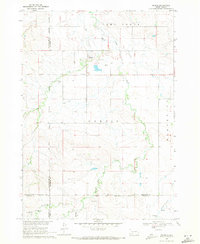
(34)- 1955 Map of Martin, 1968 Print
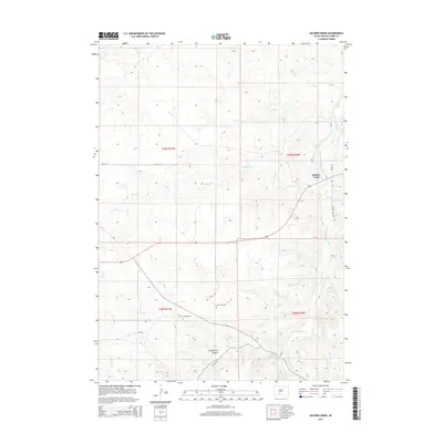
 1955 Martin1968 Print · USGSTribal lands and rail corridors define the South Dakota plains in the mid-fifties, from the sand hills to the badlands. Genealogists and historians can trace the early layout of Pine Ridge Indian Reservation settlements and find small rail towns like Stamford and Witten.2 unique versions available
 - 1958 Map of Martin
 1958 Martin1958 Print · USGSSouth Dakota's southern plains are documented here in the late fifties, showing the expansive Pine Ridge and Rosebud Indian Reservations. Genealogists and historians can locate early settlements along the Chicago Milwaukee St Paul and Pacific line or find family roots near Martin and the Indian Cemetery.
 - 1969 Map of Norris, 1971 Print
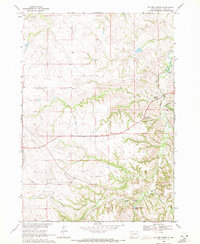
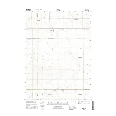
 1969 Norris1971 Print · USGSMellette County and the Rosebud Indian Reservation come into focus during the late sixties as the community of Norris anchors this prairie landscape. Genealogists and local historians can trace family ties at Poor Thunder Cem, St Stephens Ch, and Red Leaf Cem along the Black Pipe Creek valley.
 - 1969 Map of Eagle Mans Butte, 1971 Print
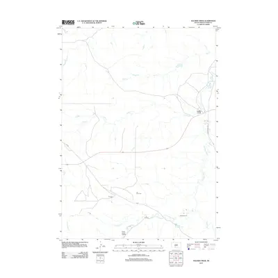
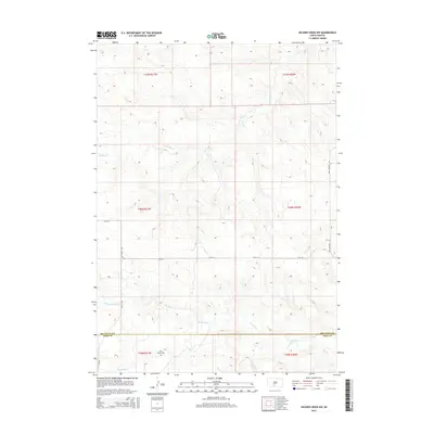
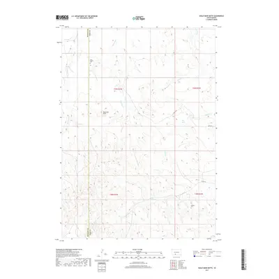
 1969 Eagle Mans Butte1971 Print · USGSTodd County during the late sixties reveals a landscape of high plains and scattered reservation communities. Genealogists and historians can locate the He Dog Village (Historic Site) and several parish landmarks like St Patrick Ch and St Stephen Cem.
 - 1969 Map of Parmelee NE, 1971 Print
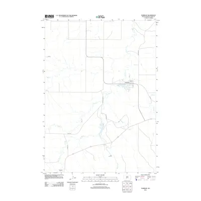
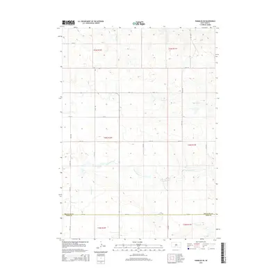
 1969 Parmelee NE1971 Print · USGSThe northern reaches of the Rosebud Reservation are captured here in the late sixties, showing a landscape defined by prairie drainage and ranching life. Genealogists and historians can trace local landmarks such as St Johns Ch, the Cem, and the small settlement of Gray.
 - 1969 Map of Soldier Creek, 1971 Print
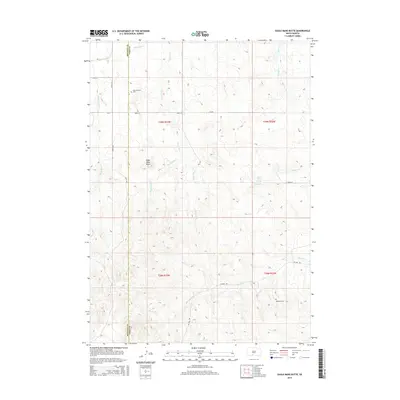
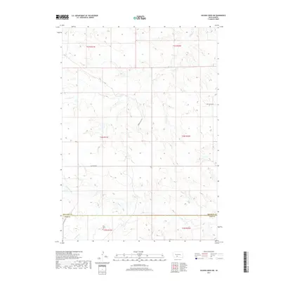
 1969 Soldier Creek1971 Print · USGSThe Rosebud Indian Reservation in the late 1960s reveals a landscape of isolated homesteads and deep river canyons. Researchers can trace tribal heritage and family locations through sites like Salt Camp Cem, St Marys Ch, and the settlement at Soldier Creek.
 - 1969 Map of Parmelee, 1971 Print
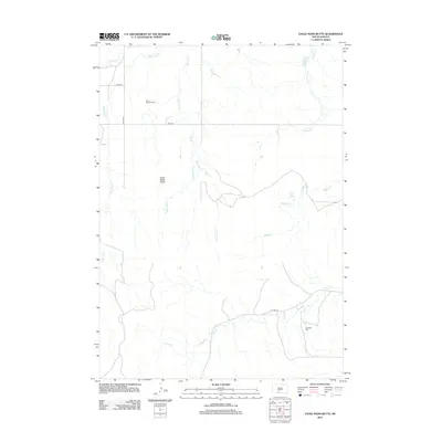
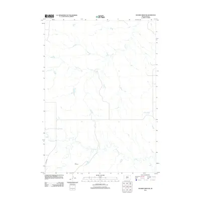
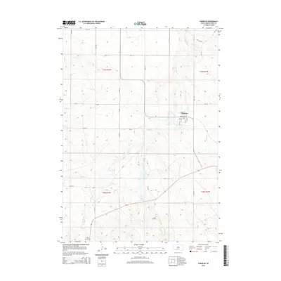
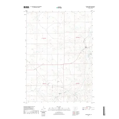
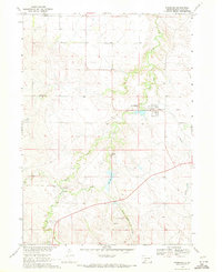 1969 Parmelee1971 Print · USGSThe Rosebud Indian Reservation is documented here in the late sixties, centering on the community of Parmelee. Genealogists and historians can trace ancestral locations like High Hawks Village (Historic Site) and the He Dog Day Sch.
 - 1969 Map of Soldier Creek NW, 1971 Print
 1969 Soldier Creek NW1971 Print · USGSThe Rosebud Indian Reservation landscape in the late sixties reveals a network of rural schools and family-centered landmarks across Mellette and Todd Counties. Researchers can locate the Holy Family Cem, Ring Thunder Sch, and the settlement at Graves.
 - 1982 Map of Mission, 1983 Print
 1982 Mission1983 Print · USGSThe Rosebud Reservation in the early eighties shows a landscape of plains communities and aviation outposts. Genealogists and researchers can trace local centers like Mission, Rosebud, and St Francis, or locate family landmarks near Antelope Lake and the Keya Paha River.
 - 1983 Map of Martin
 1983 Martin1983 Print · USGSBennett County and the neighboring tribal lands appear here in the early eighties as a network of High Plains settlements and conservation areas. Researchers can trace tribal boundaries and local genealogy through sites like Pine Ridge Indian Reservation, Long Valley, and Arnold Ranch.
 - 2012 Map of Parmelee NE, 2012 Print
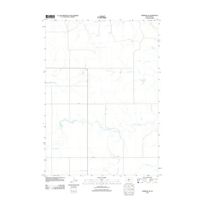 2012 Parmelee NE2012 Print · USGSCovers Parmelee, including Horse Creek Segment, Black Pipe Segment, and other nearby areas
 - 2012 Map of Eagle Mans Butte, 2012 Print
 2012 Eagle Mans Butte2012 Print · USGSCovers Parmelee, including Martin, He Dog, and other nearby areas
 - 2012 Map of Parmelee, 2012 Print
 2012 Parmelee2012 Print · USGSCovers Parmelee, including Rosebud, Grass Mountain Segment, and other nearby areas
 - 2012 Map of Norris, 2012 Print
 2012 Norris2012 Print · USGSCovers Parmelee, including Martin, Norris, and other nearby areas
 - 2012 Map of Soldier Creek, 2012 Print
 2012 Soldier Creek2012 Print · USGSCovers Parmelee, including Rosebud, Grass Mountain Segment, and other nearby areas
 - 2012 Map of Soldier Creek NW, 2012 Print
 2012 Soldier Creek NW2012 Print · USGSCovers Parmelee, including Horse Creek Segment, Soldier Creek Segment, and other nearby areas
 - 2015 Map of Soldier Creek NW, 2015 Print
 2015 Soldier Creek NW2015 Print · USGSCovers Parmelee, including Horse Creek Segment, Soldier Creek Segment, and other nearby areas
 - 2015 Map of Parmelee NE, 2015 Print
 2015 Parmelee NE2015 Print · USGSCovers Parmelee, including Horse Creek Segment, Black Pipe Segment, and other nearby areas
 - 2015 Map of Eagle Mans Butte, 2015 Print
 2015 Eagle Mans Butte2015 Print · USGSCovers Parmelee, including Martin, He Dog, and other nearby areas
 - 2015 Map of Soldier Creek, 2015 Print
 2015 Soldier Creek2015 Print · USGSCovers Parmelee, including Rosebud, Grass Mountain Segment, and other nearby areas
 - 2015 Map of Parmelee, 2015 Print
 2015 Parmelee2015 Print · USGSCovers Parmelee, including Rosebud, Grass Mountain Segment, and other nearby areas
 - 2015 Map of Norris, 2015 Print
 2015 Norris2015 Print · USGSCovers Parmelee, including Martin, Norris, and other nearby areas
 - 2017 Map of Soldier Creek NW, 2017 Print
 2017 Soldier Creek NW2017 Print · USGSCovers Parmelee, including Horse Creek Segment, Soldier Creek Segment, and other nearby areas
 - 2017 Map of Soldier Creek, 2017 Print
 2017 Soldier Creek2017 Print · USGSCovers Parmelee, including Rosebud, Grass Mountain Segment, and other nearby areas
 - 2017 Map of Eagle Mans Butte, 2017 Print
 2017 Eagle Mans Butte2017 Print · USGSCovers Parmelee, including Martin, He Dog, and other nearby areas
Showing maps 1-25 of 34
Top cities near Parmelee
Frequently asked questions
- What are the different types of historical maps available for Parmelee?
- What is the oldest map of Parmelee?
- Where can I purchase historical maps of Parmelee for my home or office?
- Where can I download high-res historical maps of Parmelee?
- Are there historical topographic maps available for Parmelee?
- Is there historical aerial imagery available for Parmelee?
- Where are historical maps of Parmelee sourced from?