2000s (21st Century) Maps of Turner County, South Dakota
Explore 76 historic maps of Turner County from the 2000s (21st Century). These maps offer a rare glimpse into what life looked like during the 2000s — showing old roads, neighborhoods, homes, and landmarks that have changed or disappeared over time.
Whether you're researching your family's past, planning a metal detecting trip, or studying how Turner County's landscape evolved across the 2000s, these high-resolution maps are a powerful tool for exploring the history of this region.
- Focus on a specific era: All maps on this page are from the 2000s, giving you a focused view of this time period.
- See what’s changed: Compare century-old streets, trails, and buildings to today's modern landscape using overlays and satellite layers.
- Research with precision: Use these maps for genealogy, historical research, land use analysis, or educational projects.
- View, download, or print: Maps are fully viewable online in high resolution, and can be downloaded or printed for your own records.
Start exploring Turner County's history through authentic maps from the 2000s. This is your window into the past.
Turner County, SD maps
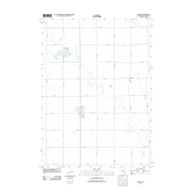
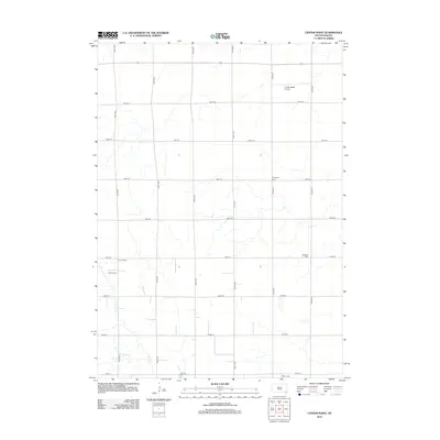
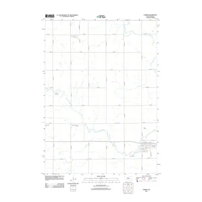
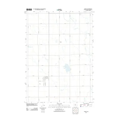
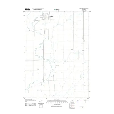
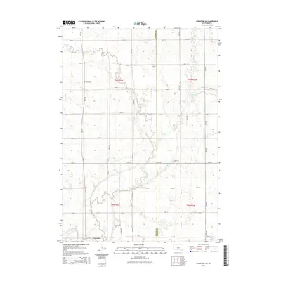
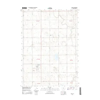
(76)- 2012 Map of Marion, 2012 Print
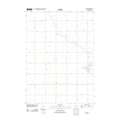 2012 Marion2012 Print · USGSCovers Turner County, including Marion, Union Township, and other nearby areas
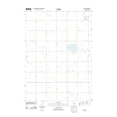
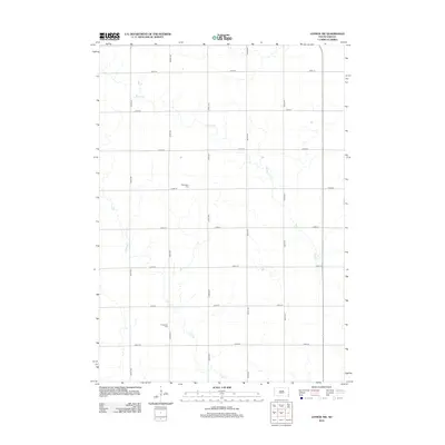
 - 2012 Map of Wakonda, 2012 Print
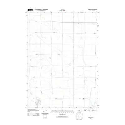 2012 Wakonda2012 Print · USGSCovers Turner County, including Wakonda, Centerville Township, and other nearby areas
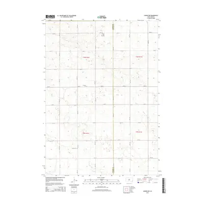
 - 2012 Map of Viborg, 2012 Print
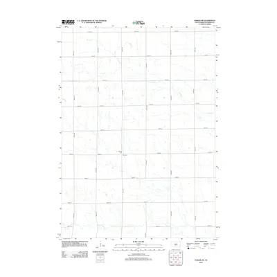
 2012 Viborg2012 Print · USGSCovers Turner County, including Viborg, Centerville Township, and other nearby areas
 - 2012 Map of Parker SW, 2012 Print
 2012 Parker SW2012 Print · USGSCovers Turner County, including Marion Township, Spring Valley Township, and other nearby areas
 - 2012 Map of Center Point, 2012 Print
 2012 Center Point2012 Print · USGSCovers Turner County, including Spring Valley Township, Daneville Township, and other nearby areas
 - 2012 Map of Turkey Ridge, 2012 Print
 2012 Turkey Ridge2012 Print · USGSCovers Turner County, including Spring Valley, Spring Valley Township, and other nearby areas
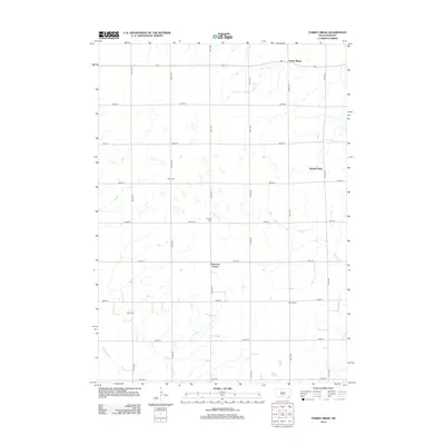
 - 2012 Map of Freeman, 2012 Print
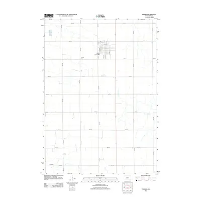 2012 Freeman2012 Print · USGSCovers Turner County, including Freeman, Rosefield Township, and other nearby areas
 - 2012 Map of Irene, 2012 Print
 2012 Irene2012 Print · USGSCovers Turner County, including Irene, Daneville Township, and other nearby areas
 - 2012 Map of Parker, 2012 Print
 2012 Parker2012 Print · USGSCovers Turner County, including Parker, Monroe, and other nearby areas
 - 2012 Map of Dolton, 2012 Print
 2012 Dolton2012 Print · USGSCovers Turner County, including Dolton, Union Township, and other nearby areas
 - 2012 Map of Freeman SE, 2012 Print
 2012 Freeman SE2012 Print · USGSCovers Turner County, including Marion Township, Rosefield Township, and other nearby areas
 - 2012 Map of Midway, 2012 Print
 2012 Midway2012 Print · USGSCovers Turner County, including Midway, Salem Township, and other nearby areas
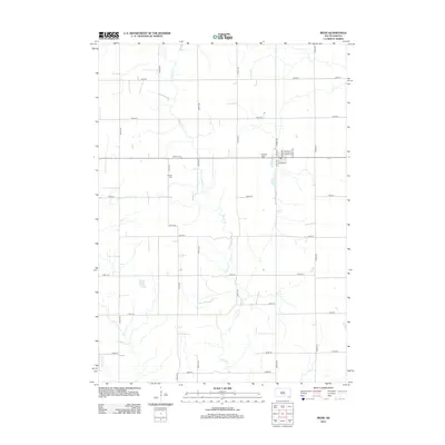
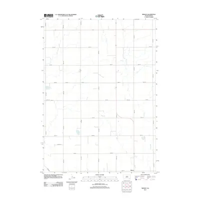
 - 2012 Map of Hurley, 2012 Print
 2012 Hurley2012 Print · USGSCovers Turner County, including Hurley, Davis, and other nearby areas
 - 2012 Map of Parker NE, 2012 Print
 2012 Parker NE2012 Print · USGSCovers Turner County, including Parker, Wellington Township, and other nearby areas
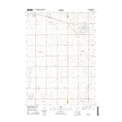
 - 2012 Map of Lennox, 2012 Print
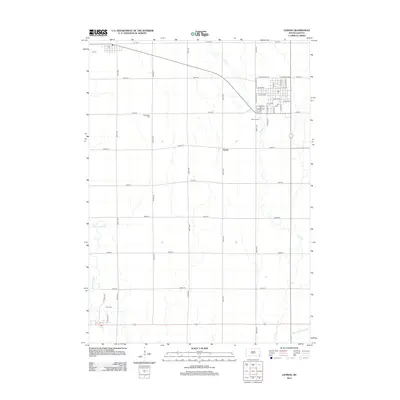 2012 Lennox2012 Print · USGSCovers Turner County, including Lennox, Chancellor, and other nearby areas
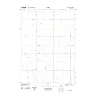
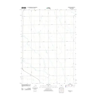
 - 2012 Map of Beresford NW, 2012 Print
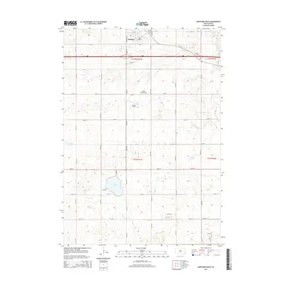
 2012 Beresford NW2012 Print · USGSCovers Turner County, including Centerville Township, Turner Township, and other nearby areas
 - 2012 Map of Centerville, 2012 Print
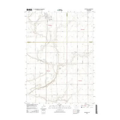
 2012 Centerville2012 Print · USGSCovers Turner County, including Centerville, Centerville Township, and other nearby areas
 - 2012 Map of Lennox NW, 2012 Print
 2012 Lennox NW2012 Print · USGSCovers Turner County, including Chancellor, Home Township, and other nearby areas
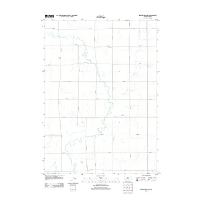
 - 2012 Map of Hartford South, 2012 Print
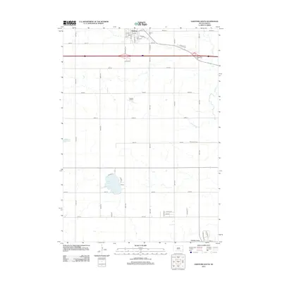 2012 Hartford South2012 Print · USGSCovers Turner County, including Hartford, Home Township, and other nearby areas
 - 2015 Map of Lennox NW, 2015 Print
 2015 Lennox NW2015 Print · USGSCovers Turner County, including Chancellor, Home Township, and other nearby areas
 - 2015 Map of Beresford NW, 2015 Print
 2015 Beresford NW2015 Print · USGSCovers Turner County, including Centerville Township, Turner Township, and other nearby areas
 - 2015 Map of Lennox, 2015 Print
 2015 Lennox2015 Print · USGSCovers Turner County, including Lennox, Chancellor, and other nearby areas
 - 2015 Map of Hartford South, 2015 Print
 2015 Hartford South2015 Print · USGSCovers Turner County, including Hartford, Home Township, and other nearby areas
 - 2015 Map of Centerville, 2015 Print
 2015 Centerville2015 Print · USGSCovers Turner County, including Centerville, Centerville Township, and other nearby areas
 - 2015 Map of Hurley, 2015 Print
 2015 Hurley2015 Print · USGSCovers Turner County, including Hurley, Davis, and other nearby areas
Showing maps 1-25 of 76
Top cities of Turner County
Frequently asked questions
- What are the different types of historical maps available for Turner County?
- What is the oldest map of Turner County?
- Where can I purchase historical maps of Turner County for my home or office?
- Where can I download high-res historical maps of Turner County?
- Are there historical topographic maps available for Turner County?
- Is there historical aerial imagery available for Turner County?
- Where are historical maps of Turner County sourced from?