2020s Maps of Bedford County, Tennessee
Explore 18 historic maps of Bedford County from the 2020s. These maps offer a rare glimpse into what life looked like during the 2020s — showing old roads, neighborhoods, homes, and landmarks that have changed or disappeared over time.
Whether you're researching your family's past, planning a metal detecting trip, or studying how Bedford County's landscape evolved across the 2020s, these high-resolution maps are a powerful tool for exploring the history of this region.
- Focus on a specific era: All maps on this page are from the 2020s, giving you a focused view of this time period.
- See what’s changed: Compare century-old streets, trails, and buildings to today's modern landscape using overlays and satellite layers.
- Research with precision: Use these maps for genealogy, historical research, land use analysis, or educational projects.
- View, download, or print: Maps are fully viewable online in high resolution, and can be downloaded or printed for your own records.
Start exploring Bedford County's history through authentic maps from the 2020s. This is your window into the past.
Bedford County, TN maps
(18)- 2022 Map of Rover, 2022 Print
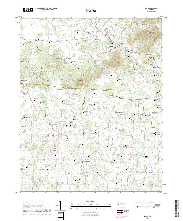 2022 Rover2022 Print · USGSMid-state Tennessee crossroads like Rover and Versailles are mapped here as they appeared in 2022 along the Rutherford and Bedford County line. Researchers can trace family history at sites like Saint Paul Cem or Bunker Hill Sch.
 - 2022 Map of Webbs Jungle, 2022 Print
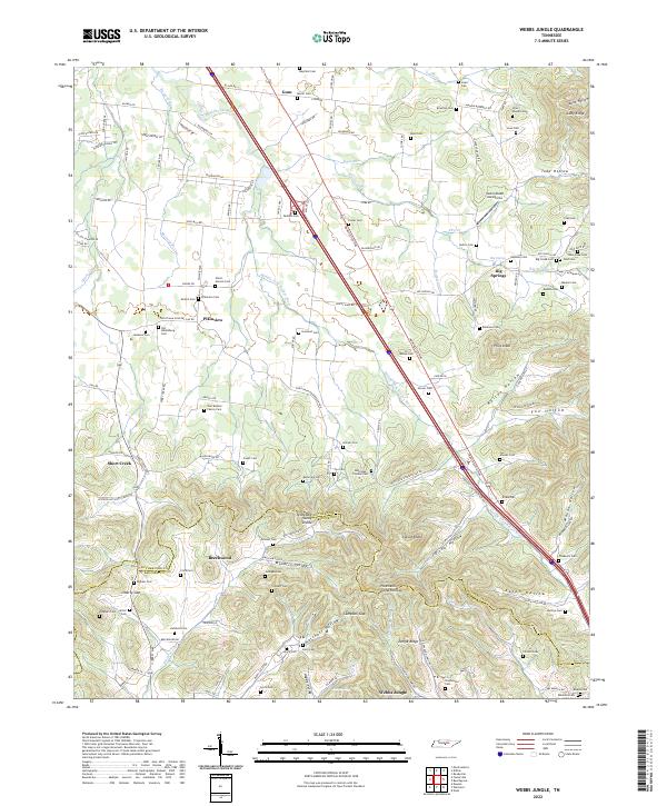 2022 Webbs Jungle2022 Print · USGSRutherford and Bedford Counties are captured in this modern survey of the undulating Tennessee landscape. Genealogists can locate dozens of family burial sites, including the Lowe-Daniel Cem and Fox-Hoover Cem, alongside rural settlements like Beechwood and Webbs Jungle.
 - 2022 Map of Chapel Hill, 2022 Print
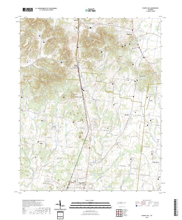 2022 Chapel Hill2022 Print · USGSMarshall County and its neighboring borderlands appear here in the 2020s, showcasing a landscape defined by the Tennessee Valley Divide and rural settlement hubs. Genealogists and local historians can trace family roots through numerous sites like Ogilvie Cemetery Rd, Riggs Crossroads, and Giles Cem.
 - 2022 Map of Belleville, 2022 Print
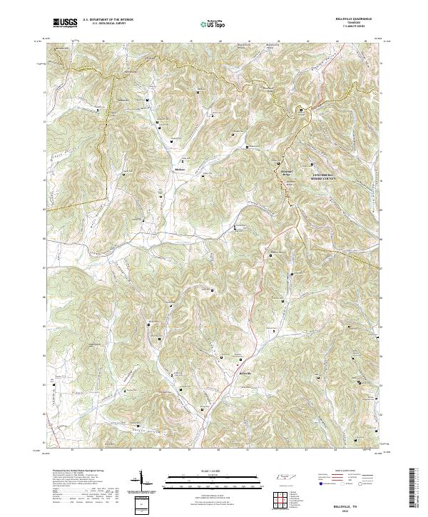 2022 Belleville2022 Print · USGSLincoln and Moore counties are revealed here in a modern survey that still highlights a landscape shaped by nineteenth-century family footprints. Genealogists can trace ancestral ties through dozens of named plots like Gibson Cem, Nichols Cem, and Melson Washburn Cem nestled near Bledsoe.
 - 2022 Map of Shelbyville, 2022 Print
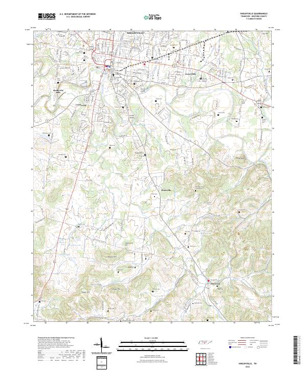 2022 Shelbyville2022 Print · USGSIn the heart of Middle Tennessee, this modern survey documents the Shelbyville area as it spans from the Duck River to the southern reaches of Flat Creek. Genealogists can trace decades of history across dozens of family burial grounds, from Willow Mount Cem to the Old Flat Creek Cem.
 - 2022 Map of Farmington, 2022 Print
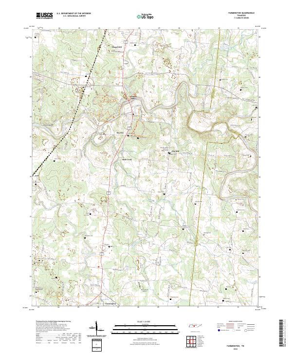 2022 Farmington2022 Print · USGSThis part of Marshall County comes into focus through its river-bottom settlements and upland farms. Genealogists can trace family footprints through dozens of rural landmarks, from Wilhoite Mills to the Bethbirei Presbyterian Church Cem.
 - 2022 Map of Fosterville, 2022 Print
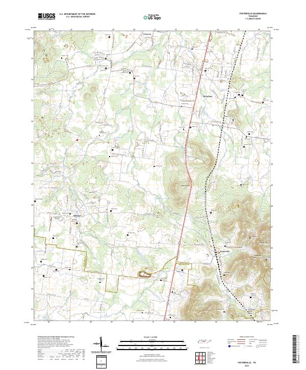 2022 Fosterville2022 Print · USGSRutherford and Bedford counties are shown here in the early twenty-first century as the landscape rises toward the Tennessee Valley Divide. Genealogists can trace family heritage through dozens of burial sites like Isaac Miller Cem and Kimbro Cem near Fosterville.
 - 2022 Map of Wartrace, 2022 Print
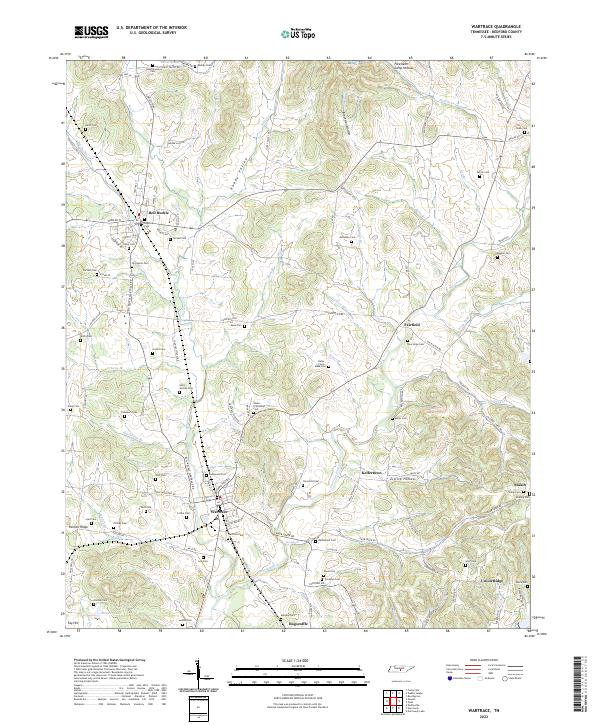 2022 Wartrace2022 Print · USGSThe Tennessee communities of Wartrace and Bell Buckle are captured here in the 2020s, showing a landscape shaped by the CSX Transportation rail line. Genealogists can trace dozens of family burial sites, from the Hazel Cem to the remote Bates - Finch - Muse Cem near Fairfield.
 - 2022 Map of Deason, 2022 Print
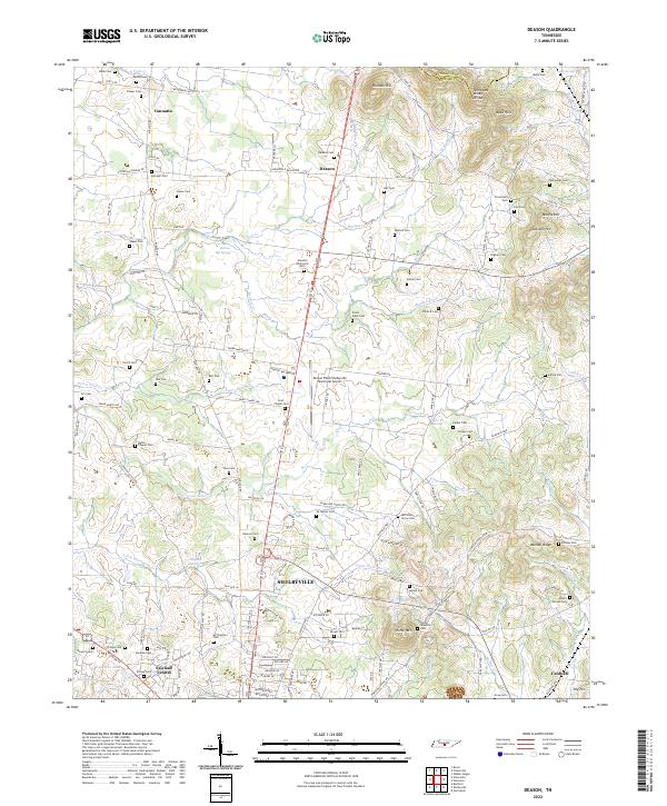 2022 Deason2022 Print · USGSBedford County's rural landscape comes into focus here during the early twenty-first century, showing the northern edges of SHELBYVILLE and the outlying community of Deason. Genealogists will find a wealth of family history in small burial sites like Erwin Slave Cem, Houston-Whitworth Cem, and Smith Cem.
 - 2022 Map of Unionville, 2022 Print
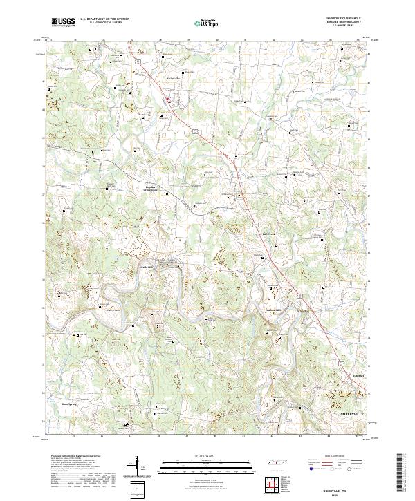 2022 Unionville2022 Print · USGSCentral Tennessee farmland and the winding Duck River define this region south of Nashville in the early twenty-first century. Researchers can trace family history through dozens of burial sites like Winsett Cem and locate landmarks like Anchor Mill and Poplins Crossroads.
 - 2022 Map of Bedford, 2022 Print
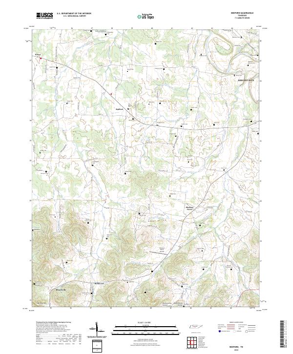 2022 Bedford2022 Print · USGSBedford and the surrounding Tennessee countryside are mapped here in the early twenty-first century, showing a landscape defined by winding creeks and family history. Genealogists can trace decades of local heritage through landmarks like Richmond Cem, New Bethel Cem, and Porter-Cortner Cem.
 - 2022 Map of Normandy, 2022 Print
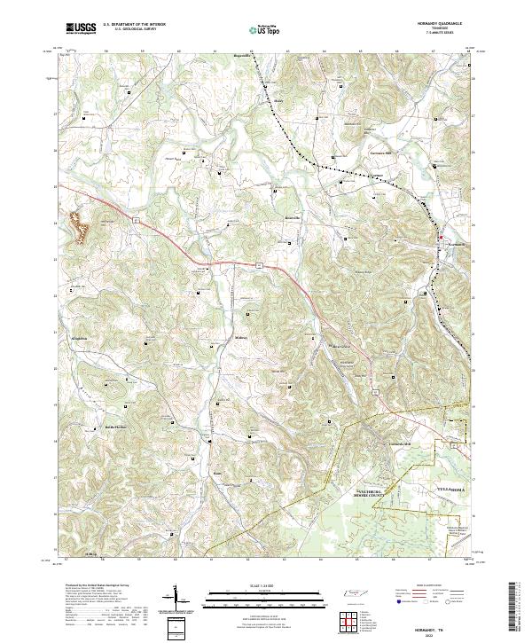 2022 Normandy2022 Print · USGSBedford and Moore County heritage is preserved here in the valley of the Duck River. Genealogists and local historians can trace family roots through dozens of sites like the Shofner Lutheran Cem, Cortners Mill, and Ledfords Mill.
 - 2022 Map of Noah, 2022 Print
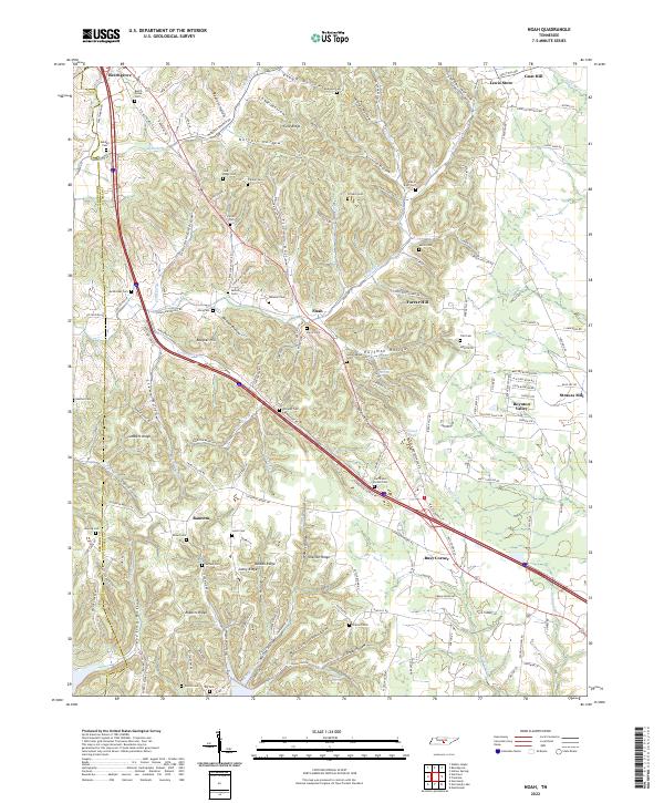 2022 Noah2022 Print · USGSCoffee and Bedford Counties are depicted here as a network of ridges and hollows in the early twenty-first century. Researchers can trace family history through dozens of rural burial sites like Wisers Bluff Cem and local crossroads such as Busy Corner and Strauss Mill.
 - 2022 Map of Belfast, 2022 Print
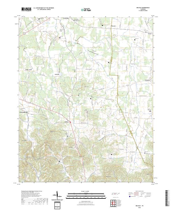 2022 Belfast2022 Print · USGSMarshall County rural life and Civil War heritage are preserved here in the early twenty-first century. Genealogists can locate family burial sites like Bills Cem and Head Springs Cem or trace the historic Old Belfast Rd through the valley.
 - 2022 Map of Beechgrove, 2022 Print
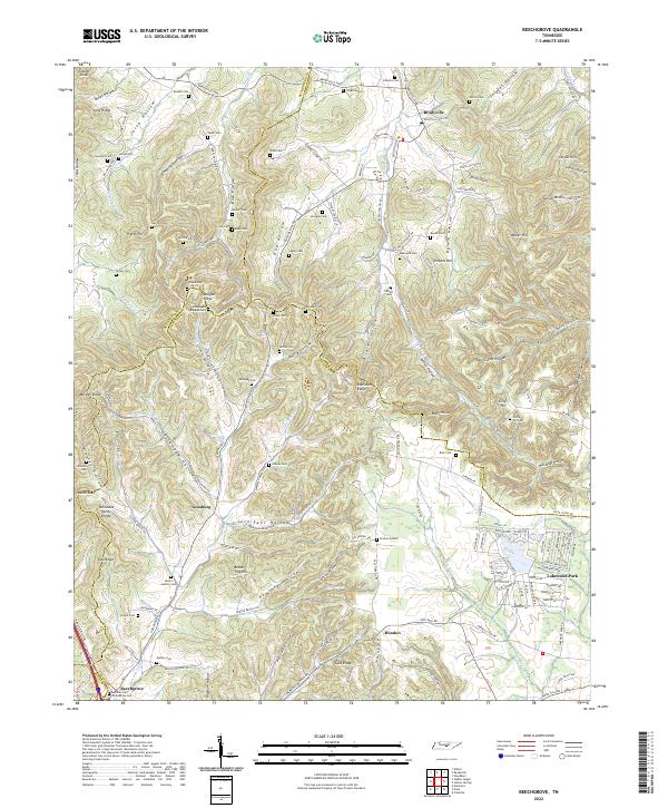 2022 Beechgrove2022 Print · USGSThe borderlands of Coffee and Cannon counties come into focus during this modern era of rural Tennessee history. Genealogists can trace family lines across dozens of remote burial sites, from the Beech Grove Confederate Cem to the Gilly Hill Cem and Arnold Cem.
 - 2022 Map of Lynchburg East, 2022 Print
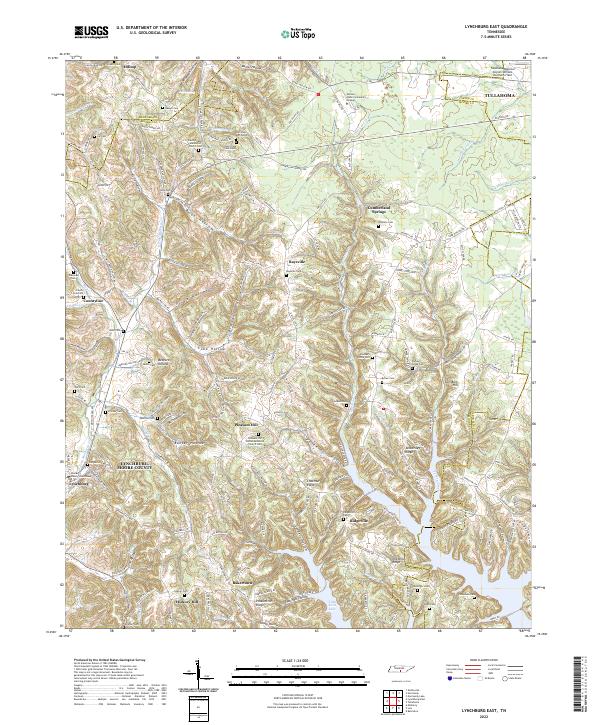 2022 Lynchburg East2022 Print · USGSMoore County in the early twenty-first century remains defined by its deep hollows and the historic seat at Lynchburg. Researchers can trace local lineage through numerous family burial sites like Dance Cem or visit the campus of Motlow State Community College.
 - 2022 Map of Normandy Lake, 2022 Print
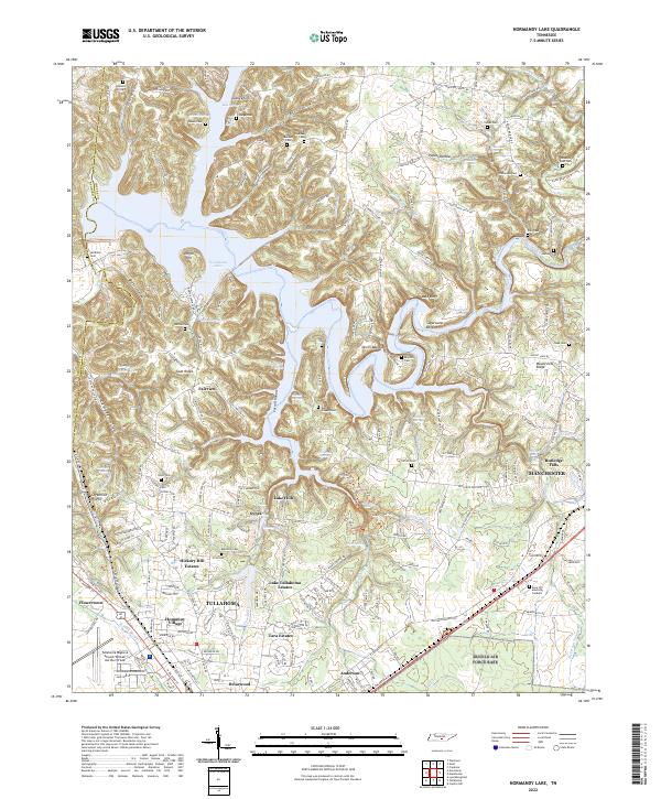 2022 Normandy Lake2022 Print · USGSThe Tennessee highlands between Tullahoma and Manchester are shown here as they appeared in 2022. Researchers can trace numerous family burial sites like Old Redden Cem and Barton Cem, or follow the historic path of the Old Stagecoach Rd.
 - 2022 Map of Lynchburg West, 2022 Print
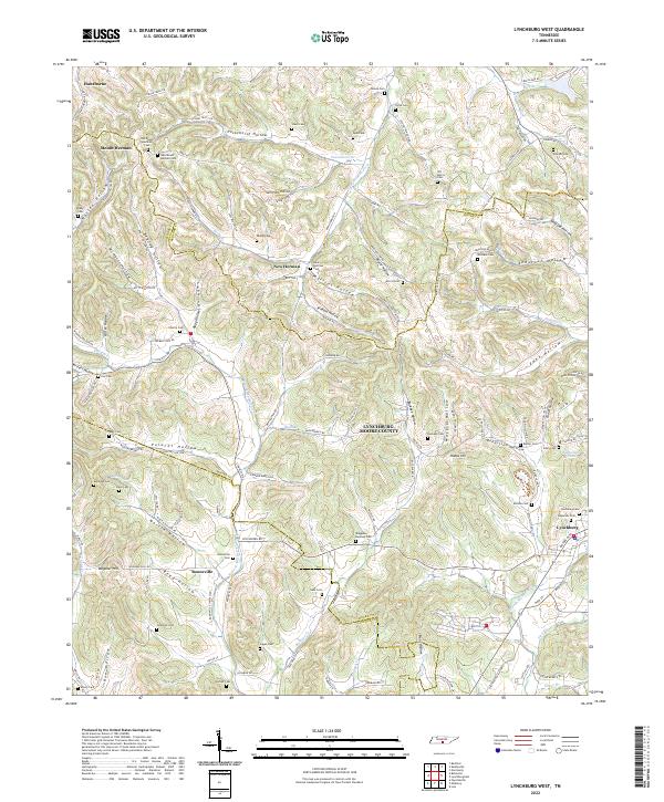 2022 Lynchburg West2022 Print · USGSMoore County's rugged terrain comes into focus in this contemporary survey of the communities surrounding Lynchburg. Researchers can trace ancestral roots through dozens of family burial grounds including Old Mount Herman Cem, Parker Cem, and Shofner Cem tucked away in local hollows.
End of results
Showing maps 1-18 of 18
Top cities of Bedford County
- Shelbyville historical maps
- Wartrace historical maps
- Bell Buckle historical maps
- Normandy historical maps
Frequently asked questions
- What are the different types of historical maps available for Bedford County?
- What is the oldest map of Bedford County?
- Where can I purchase historical maps of Bedford County for my home or office?
- Where can I download high-res historical maps of Bedford County?
- Are there historical topographic maps available for Bedford County?
- Is there historical aerial imagery available for Bedford County?
- Where are historical maps of Bedford County sourced from?