2000s (21st Century) Maps of Giles County, Tennessee
Explore 99 historic maps of Giles County from the 2000s (21st Century). These maps offer a rare glimpse into what life looked like during the 2000s — showing old roads, neighborhoods, homes, and landmarks that have changed or disappeared over time.
Whether you're researching your family's past, planning a metal detecting trip, or studying how Giles County's landscape evolved across the 2000s, these high-resolution maps are a powerful tool for exploring the history of this region.
- Focus on a specific era: All maps on this page are from the 2000s, giving you a focused view of this time period.
- See what’s changed: Compare century-old streets, trails, and buildings to today's modern landscape using overlays and satellite layers.
- Research with precision: Use these maps for genealogy, historical research, land use analysis, or educational projects.
- View, download, or print: Maps are fully viewable online in high resolution, and can be downloaded or printed for your own records.
Start exploring Giles County's history through authentic maps from the 2000s. This is your window into the past.
Giles County, TN maps
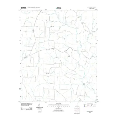
(99)- 2010 Map of Union Hill, 2010 Print
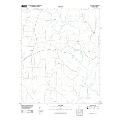 2010 Union Hill2010 Print · USGSCovers Giles County, including Minor Hill, Lester, and other nearby areas
 - 2010 Map of Elkmont, 2010 Print
 2010 Elkmont2010 Print · USGSCovers Giles County, including Elkmont, Woodfin Mill, and other nearby areas
 - 2010 Map of Bodenham, 2010 Print
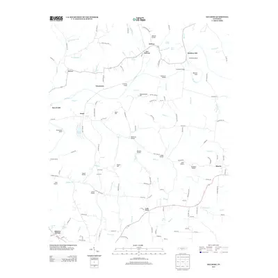
 2010 Bodenham2010 Print · USGSCovers Giles County, including Bodenham, Westside, and other nearby areas
 - 2010 Map of Salem, 2010 Print
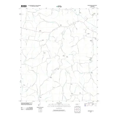
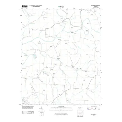
 2010 Salem2010 Print · USGSCovers Giles County, including Minor Hill, Walnut Hill, and other nearby areas
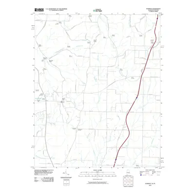
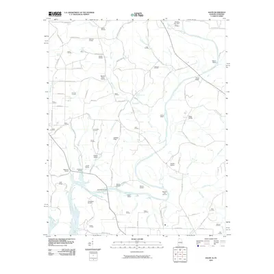
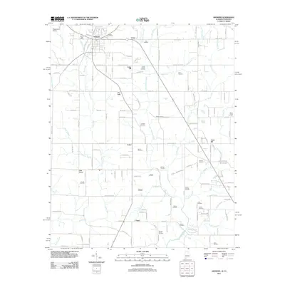
 - 2010 Map of Ardmore, 2010 Print
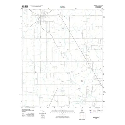 2010 Ardmore2010 Print · USGSCovers Giles County, including Ardmore, Heritage Landing, and other nearby areas
 - 2010 Map of Campbellsville, 2010 Print
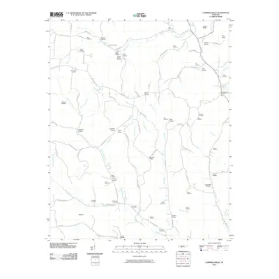 2010 Campbellsville2010 Print · USGSCovers Giles County, including Pleasant Valley, Campbellsville, and other nearby areas
 - 2010 Map of Dellrose, 2010 Print
 2010 Dellrose2010 Print · USGSCovers Giles County, including Baugh, New Dellrose, and other nearby areas
 - 2010 Map of Elkton, 2010 Print
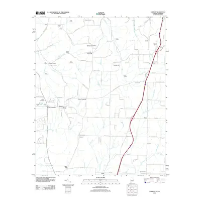
 2010 Elkton2010 Print · USGSCovers Giles County, including Elkton, Conway, and other nearby areas
 - 2010 Map of Frankewing, 2010 Print
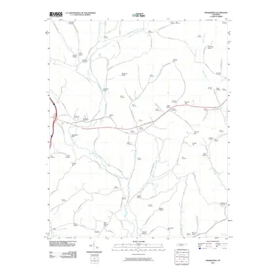 2010 Frankewing2010 Print · USGSCovers Giles County, including Taylortown, Jerusalem, and other nearby areas
 - 2010 Map of Tarpley, 2010 Print
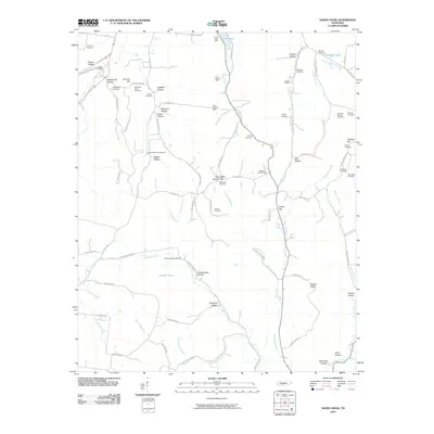
 2010 Tarpley2010 Print · USGSCovers Giles County, including Pulaski, Beech Hill, and other nearby areas
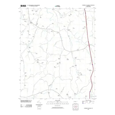
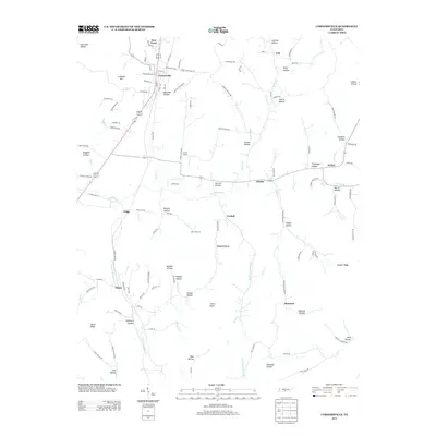
 - 2010 Map of Cornersville, 2010 Print
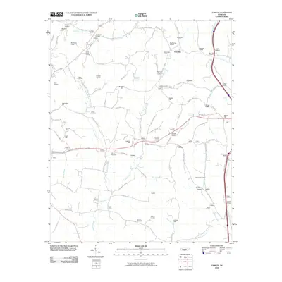
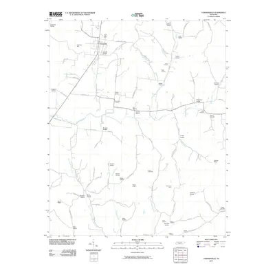 2010 Cornersville2010 Print · USGSCovers Giles County, including Cornersville, Trigg, and other nearby areas
 - 2010 Map of Brick Church, 2010 Print
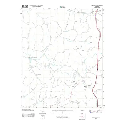 2010 Brick Church2010 Print · USGSCovers Giles County, including Cornersville, Berea, and other nearby areas
 - 2010 Map of Campbells Station, 2010 Print
 2010 Campbells Station2010 Print · USGSCovers Giles County, including Lewisburg, Lynnville, and other nearby areas
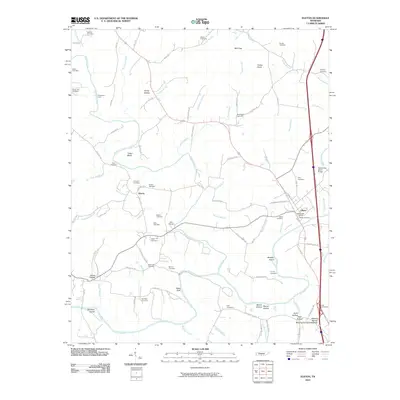
 - 2010 Map of Pulaski, 2010 Print
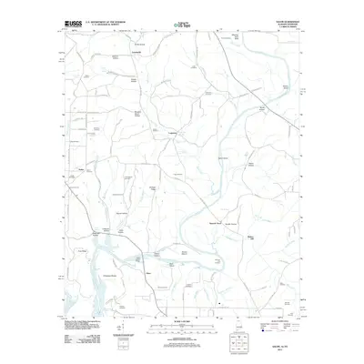
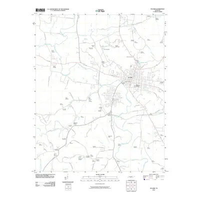 2010 Pulaski2010 Print · USGSCovers Giles County, including Pulaski, Wales, and other nearby areas
 - 2010 Map of Milky Way, 2010 Print
 2010 Milky Way2010 Print · USGSCovers Giles County, including Lynnville, Bufords, and other nearby areas
 - 2010 Map of Lynnville, 2010 Print
 2010 Lynnville2010 Print · USGSCovers Giles County, including Lynnville, Southport, and other nearby areas
 - 2010 Map of Sandy Hook, 2010 Print
 2010 Sandy Hook2010 Print · USGSCovers Giles County, including Jonestown, Scotts Mill, and other nearby areas
 - 2010 Map of Aspen Hill, 2010 Print
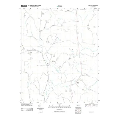
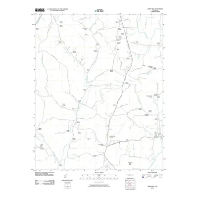 2010 Aspen Hill2010 Print · USGSCovers Giles County, including Minor Hill, Oak Grove, and other nearby areas
 - 2010 Map of Appleton, 2010 Print
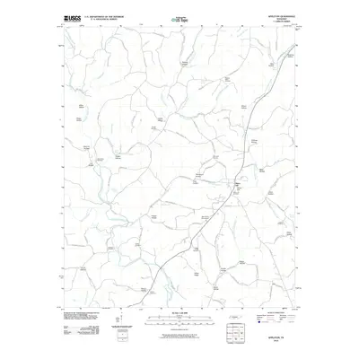 2010 Appleton2010 Print · USGSCovers Giles County, including Minor Hill, Sexton, and other nearby areas
 - 2011 Map of Salem, 2011 Print
 2011 Salem2011 Print · USGSCovers Giles County, including Minor Hill, Walnut Hill, and other nearby areas
 - 2011 Map of Ardmore, 2011 Print
 2011 Ardmore2011 Print · USGSCovers Giles County, including Ardmore, Heritage Landing, and other nearby areas
 - 2011 Map of Elkmont, 2011 Print
 2011 Elkmont2011 Print · USGSCovers Giles County, including Elkmont, Woodfin Mill, and other nearby areas
 - 2011 Map of Union Hill, 2011 Print
 2011 Union Hill2011 Print · USGSCovers Giles County, including Minor Hill, Lester, and other nearby areas
 - 2013 Map of Cornersville, 2013 Print
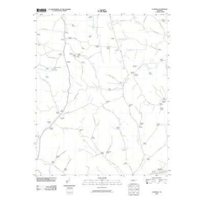
 2013 Cornersville2013 Print · USGSCovers Giles County, including Cornersville, Trigg, and other nearby areas
 - 2013 Map of Dellrose, 2013 Print
 2013 Dellrose2013 Print · USGSCovers Giles County, including Baugh, New Dellrose, and other nearby areas
Showing maps 1-25 of 99
Top cities of Giles County
Frequently asked questions
- What are the different types of historical maps available for Giles County?
- What is the oldest map of Giles County?
- Where can I purchase historical maps of Giles County for my home or office?
- Where can I download high-res historical maps of Giles County?
- Are there historical topographic maps available for Giles County?
- Is there historical aerial imagery available for Giles County?
- Where are historical maps of Giles County sourced from?