2020s Maps of Giles County, Tennessee
Explore 23 historic maps of Giles County from the 2020s. These maps offer a rare glimpse into what life looked like during the 2020s — showing old roads, neighborhoods, homes, and landmarks that have changed or disappeared over time.
Whether you're researching your family's past, planning a metal detecting trip, or studying how Giles County's landscape evolved across the 2020s, these high-resolution maps are a powerful tool for exploring the history of this region.
- Focus on a specific era: All maps on this page are from the 2020s, giving you a focused view of this time period.
- See what’s changed: Compare century-old streets, trails, and buildings to today's modern landscape using overlays and satellite layers.
- Research with precision: Use these maps for genealogy, historical research, land use analysis, or educational projects.
- View, download, or print: Maps are fully viewable online in high resolution, and can be downloaded or printed for your own records.
Start exploring Giles County's history through authentic maps from the 2020s. This is your window into the past.
Giles County, TN maps
(23)- 2020 Map of Ardmore, 2020 Print
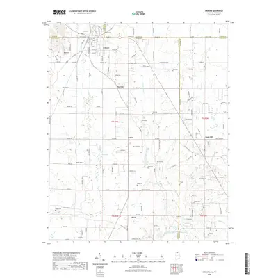 2020 Ardmore2020 Print · USGSCovers Giles County, including Ardmore, Heritage Landing, and other nearby areas
 - 2020 Map of Union Hill, 2020 Print
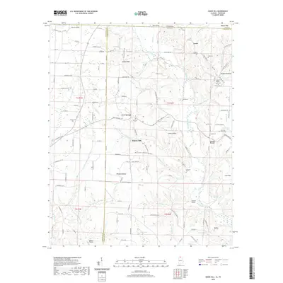 2020 Union Hill2020 Print · USGSCovers Giles County, including Minor Hill, Lester, and other nearby areas
 - 2020 Map of Elkmont, 2020 Print
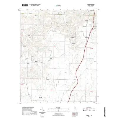 2020 Elkmont2020 Print · USGSCovers Giles County, including Elkmont, Woodfin Mill, and other nearby areas
 - 2020 Map of Salem, 2020 Print
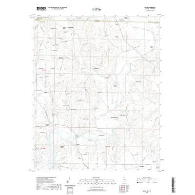 2020 Salem2020 Print · USGSCovers Giles County, including Minor Hill, Walnut Hill, and other nearby areas
 - 2022 Map of Bodenham, 2022 Print
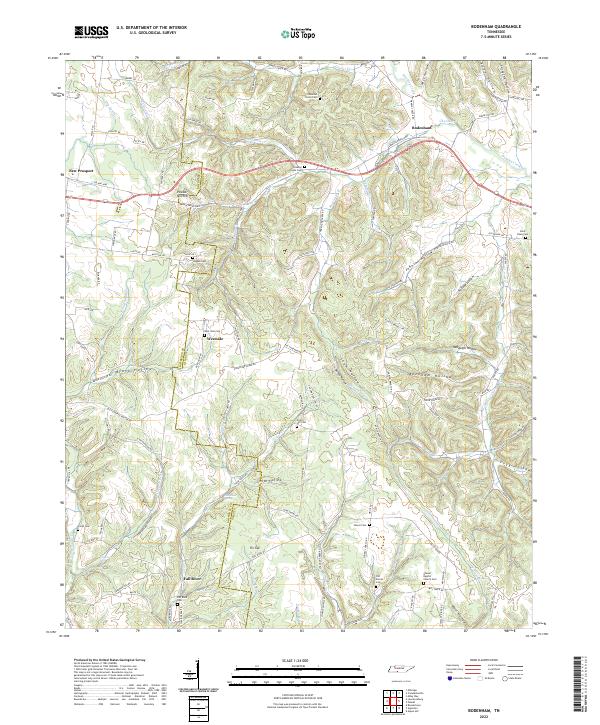 2022 Bodenham2022 Print · USGSThe rural border of Lawrence and Giles Counties comes into focus in this contemporary survey of its hollows and homesteads. Local historians can locate ancestral sites like Hughes Cem, Shores Baptist Church, and the settlement of Fall River.
 - 2022 Map of Elkton, 2022 Print
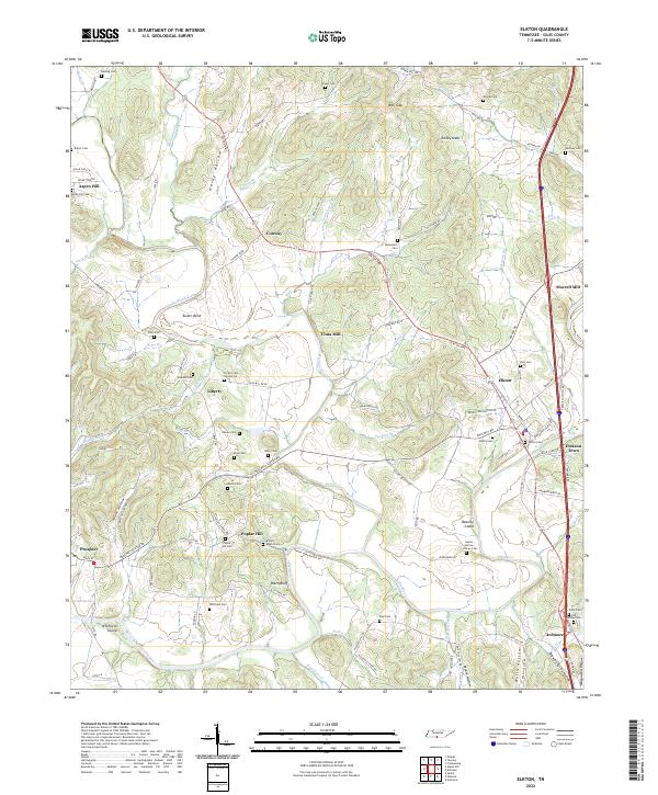 2022 Elkton2022 Print · USGSGiles County at the Tennessee-Alabama border is shown here in the early twenty-first century, centered on the Elk River and Richland Creek. Researchers can trace dozens of family burial grounds like Poplar Hill Cem and old industrial sites including Vinta Mill.
 - 2022 Map of Pulaski, 2022 Print
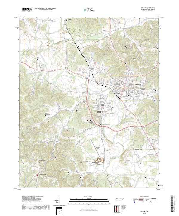 2022 Pulaski2022 Print · USGSPulaski and the surrounding Giles County hills are documented here in the early twenty-first century as the community expanded beyond its historic center. Researchers can locate many family-named burial sites and landmarks like Martin Methodist College, Maplewood Cem, and Abernathy Field.
 - 2022 Map of Campbellsville, 2022 Print
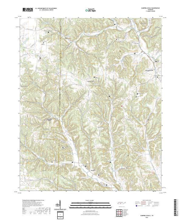 2022 Campbellsville2022 Print · USGSGiles and Lawrence County communities are detailed here during a period of modern rural continuity. Genealogists can locate numerous small family cemeteries like Hannah-Yokley Cem and Lucy Cem or trace the routes through Pleasant Valley and Weakley.
 - 2022 Map of Aspen Hill, 2022 Print
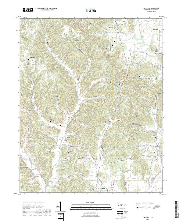 2022 Aspen Hill2022 Print · USGSSettled along the Elk River and Richland Creek, this Giles County landscape features a dense network of upland farms and family-named hollows. Genealogists can trace decades of history through Beech Grove Cem, Aspen Hill Cem, and Stella.
 - 2022 Map of Dellrose, 2022 Print
 2022 Dellrose2022 Print · USGSSouthern Middle Tennessee is documented here in the early twenty-first century, showing the rural communities along the Elk River. Genealogists can locate family-named sites like the F A George Family Cem and settlements such as Hamilton Mill and Elkmont Springs.
 - 2022 Map of Appleton, 2022 Print
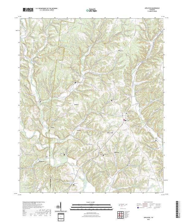 2022 Appleton2022 Print · USGSCovers Giles County, including Minor Hill, Sexton, and other nearby areas
 - 2022 Map of Milky Way, 2022 Print
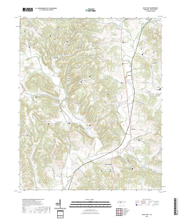 2022 Milky Way2022 Print · USGSGiles County’s rural character is well-preserved in this modern survey of the area around Lynnville and Riversburg. Genealogists and local historians can trace scores of family burial sites like the Tinnon Burial Ground and Mount Olivet Cem.
 - 2022 Map of Cornersville, 2022 Print
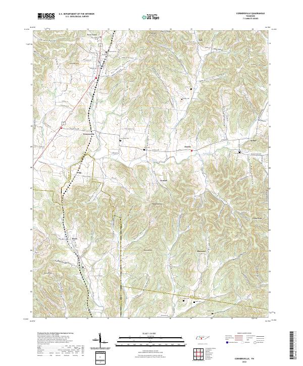 2022 Cornersville2022 Print · USGSCornersville and the surrounding Tennessee hill country are captured here at the start of the twenty-first century. Genealogists and local historians can trace family-named sites like Beechwood Cem, Horse Knob, and the small community of Gnat Grove.
 - 2022 Map of Frankewing, 2022 Print
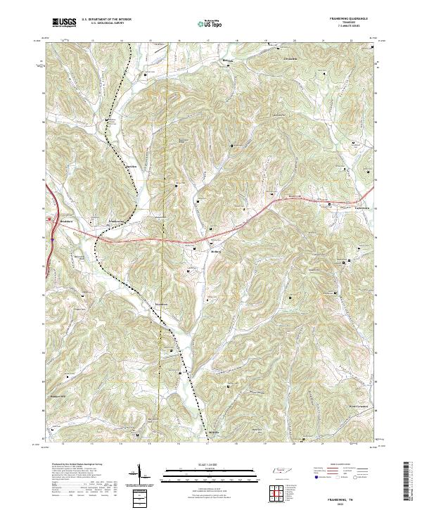 2022 Frankewing2022 Print · USGSThe hills of Giles and Lincoln Counties come alive in this survey of the Tennessee borderlands, showcasing a landscape carved by winding hollows and ridge-top settlements. Genealogists can trace family roots through numerous remote burial sites like Beasley Cem, Mcburg Cem, and the high ground of Bee Spring Hill.
 - 2022 Map of Sandy Hook, 2022 Print
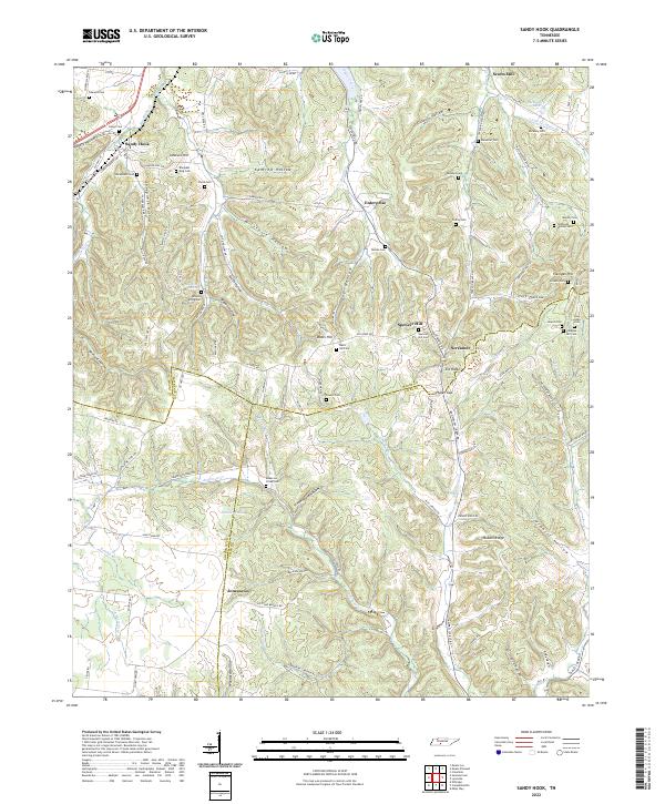 2022 Sandy Hook2022 Print · USGSMiddle Tennessee rural life at the borders of Maury, Lawrence, and Giles Counties is meticulously preserved in this recent survey. Genealogists and historians can locate family-named burial sites like Sheepneck Cem, trace the historic N Old Military Rd, and find old landmarks like Scotts Mill.
 - 2022 Map of Lynnville, 2022 Print
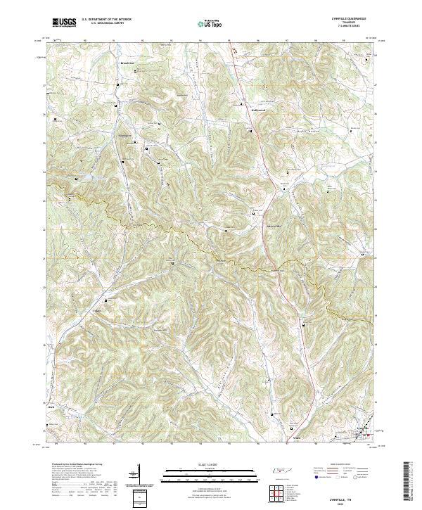 2022 Lynnville2022 Print · USGSMiddle Tennessee’s rural landscapes are documented here along the county line during the early twenty-first century. Genealogists and local historians can trace family lineages through numerous remote burial sites like Wilkes Cem and New Ramey Cem near Stiversville.
 - 2022 Map of Campbells Station, 2022 Print
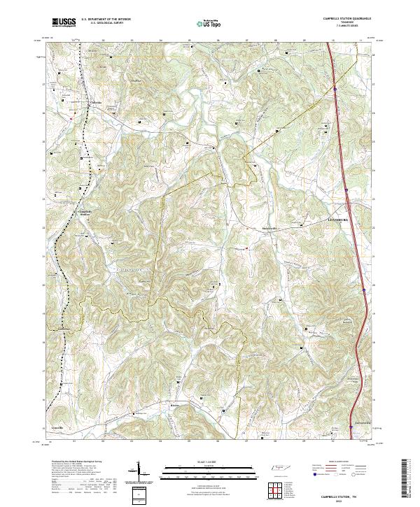 2022 Campbells Station2022 Print · USGSThe rolling hills of southern Middle Tennessee are captured here as they appeared recently, showing the dense network of family-named landmarks and old cemeteries. Researchers can trace ancestral roots at sites like Old Mars Hill Cem, Friendship Baptist Church, and Campbells Station.
 - 2022 Map of Tarpley, 2022 Print
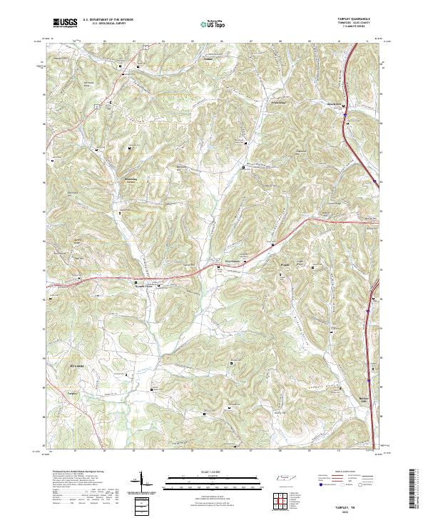 2022 Tarpley2022 Print · USGSGiles County, Tennessee, is captured here in the early 2020s, showing a traditional landscape of ridge-top settlements and deep hollows. Researchers can locate numerous family burial sites and rural communities like Beech Hill, Five Points, and the Osburn-Watson-Cem.
 - 2022 Map of Brick Church, 2022 Print
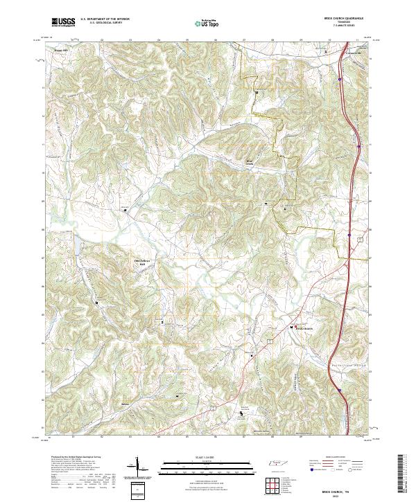 2022 Brick Church2022 Print · USGSGiles and Marshall counties appear here in the early twenty-first century, showing a landscape of deep hollows and family cemeteries. Researchers can locate burial grounds such as Franklin Cem and Kincaid Cem or trace the rural routes around Odd Fellows Hall.
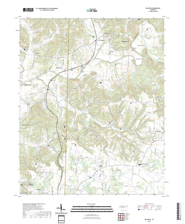
 - 2024 Map of Salem, 2024 Print
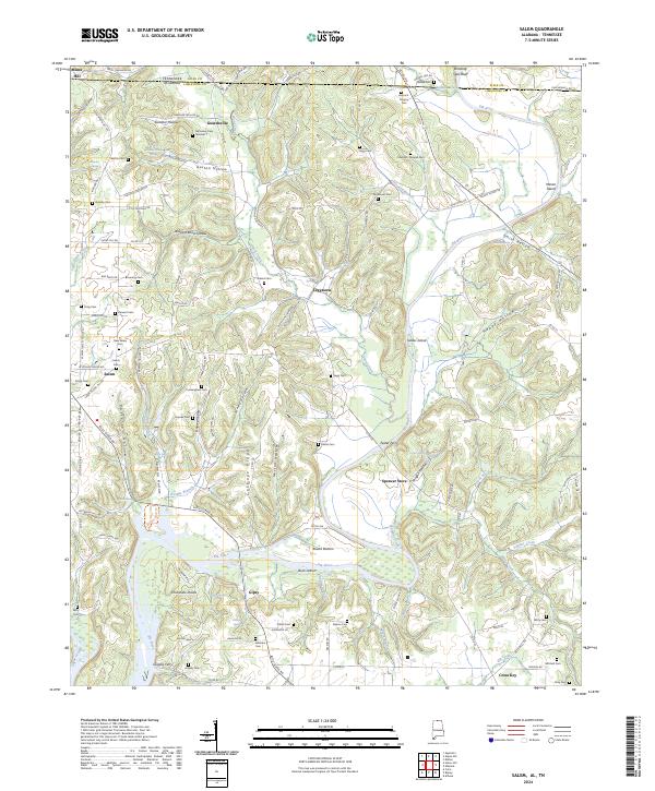 2024 Salem2024 Print · USGSLimestone County, Alabama, and Giles County, Tennessee, meet along the banks of the Elk River in this contemporary survey of the borderlands. Researchers can trace the heritage of rural communities and river crossings like Leggtown, Spencer Store, Grigsby Ferry, and the New Salem Cem.
 - 2024 Map of Ardmore, 2024 Print
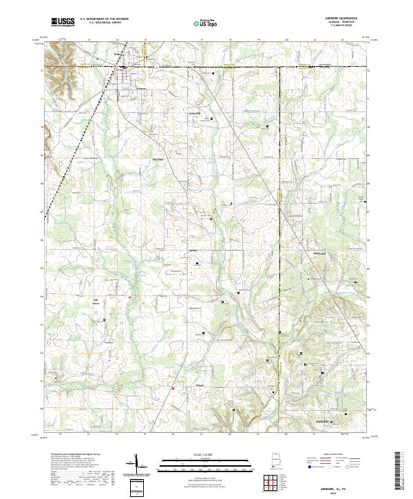 2024 Ardmore2024 Print · USGSThe Tennessee-Alabama state line cuts directly through this region, where the town of Ardmore serves as a gateway between the two states. Researchers can locate dozens of family burial sites, including the Hopwood, Tillery, and Milhous cemeteries.
 - 2024 Map of Union Hill, 2024 Print
 2024 Union Hill2024 Print · USGSLimestone County, Alabama, and the Tennessee borderlands are captured in this modern survey of rural settlements and family burial grounds. Local historians can trace the early road network and locate sites like Ridgway Mill, Union Hill Cem, and the settlement of Scarce Grease.
 - 2024 Map of Elkmont, 2024 Print
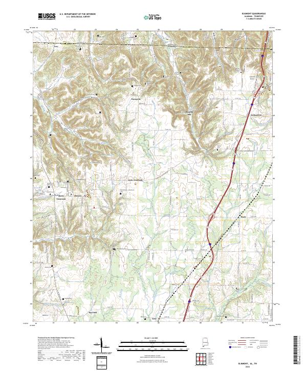 2024 Elkmont2024 Print · USGSElkmont and the surrounding Limestone County hill country are captured in this modern survey along the Tennessee border. Genealogists and local historians can trace family land and rural community sites like Woodfin Mill, Pettusville Church, and the Saint Mark Cem.
End of results
Showing maps 1-23 of 23
Top cities of Giles County
Frequently asked questions
- What are the different types of historical maps available for Giles County?
- What is the oldest map of Giles County?
- Where can I purchase historical maps of Giles County for my home or office?
- Where can I download high-res historical maps of Giles County?
- Are there historical topographic maps available for Giles County?
- Is there historical aerial imagery available for Giles County?
- Where are historical maps of Giles County sourced from?