2010s Maps of Grundy County, Tennessee
Explore 68 historic maps of Grundy County from the 2010s. These maps offer a rare glimpse into what life looked like during the 2010s — showing old roads, neighborhoods, homes, and landmarks that have changed or disappeared over time.
Whether you're researching your family's past, planning a metal detecting trip, or studying how Grundy County's landscape evolved across the 2010s, these high-resolution maps are a powerful tool for exploring the history of this region.
- Focus on a specific era: All maps on this page are from the 2010s, giving you a focused view of this time period.
- See what’s changed: Compare century-old streets, trails, and buildings to today's modern landscape using overlays and satellite layers.
- Research with precision: Use these maps for genealogy, historical research, land use analysis, or educational projects.
- View, download, or print: Maps are fully viewable online in high resolution, and can be downloaded or printed for your own records.
Start exploring Grundy County's history through authentic maps from the 2010s. This is your window into the past.
Grundy County, TN maps
(68)- 2010 Map of Savage Point, 2010 Print
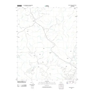 2010 Savage Point2010 Print · USGSSequatchie County's high ridges and deep hollows are documented here during the early twenty-first century. Genealogists and local historians can locate Lands Chapel Cemetery, the Deerhead Dam, and significant landmarks like Wolfpen Mountain.
 - 2010 Map of Sewanee, 2010 Print
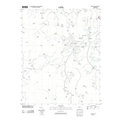 2010 Sewanee2010 Print · USGSSewanee and the Cumberland Plateau are captured here in the early twenty-first century as the academic and local communities expanded. Genealogists can trace family landmarks like Swann Cemetery and Marlow Field Cemetery or locate industrial sites such as the Dodson Mine.
 - 2010 Map of Cane Hollow, 2010 Print
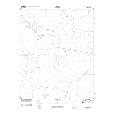 2010 Cane Hollow2010 Print · USGSGrundy County's plateau landscape is captured here in the early 2000s, showing a terrain defined by deep coves and mountain points. Genealogists can trace family names at Airview Cemetery or Johnny Cemetery and locate rural landmarks like Marvin Chapel and Counter Pen.
 - 2010 Map of Tracy City, 2010 Print
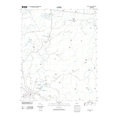 2010 Tracy City2010 Print · USGSThe Cumberland Plateau in the early twenty-first century is a landscape of mountain gaps and small reservoirs. Genealogists and local historians can trace family roots through numerous burial sites like Orange Hill Cemetery and Bonnie Oak Cemetery near Coalmont.
 - 2010 Map of Daus, 2010 Print
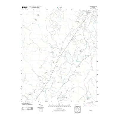 2010 Daus2010 Print · USGSThe Sequatchie River valley in the early 21st century remains a landscape of tightly-knit rural communities and family legacies. Genealogists can trace local history through numerous sites like Thans Chapel Cemetery, Woodcock Gulf, and Liberty.
 - 2010 Map of Curtistown, 2010 Print
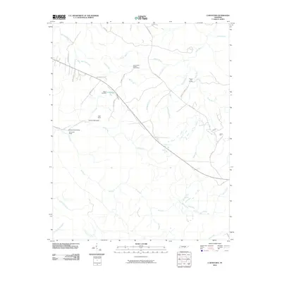 2010 Curtistown2010 Print · USGSWarren County in the early twenty-first century remains a landscape of high plateaus and deep hollows where rural life meets scientific observation. Genealogists and local historians can locate Pleasant Hill Cemetery, trace the industrial footprint of Powers Mine, or find the Cumberland Plateau Observatory.
 - 2010 Map of Monteagle, 2010 Print
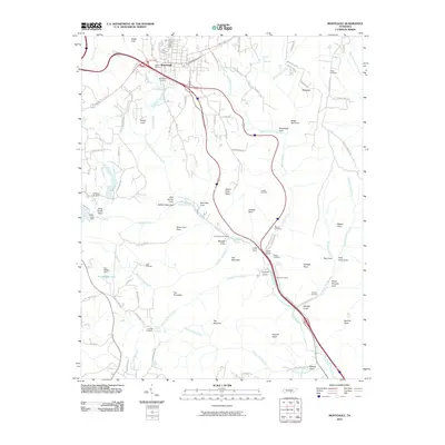 2010 Monteagle2010 Print · USGSMonteagle and the surrounding Cumberland Plateau coves are documented here in the early twenty-first century. Family researchers can locate historical burial grounds like Lappin Cemetery and landmarks such as Martin Springs or Jumpoff Falls.
 - 2010 Map of Palmer, 2010 Print
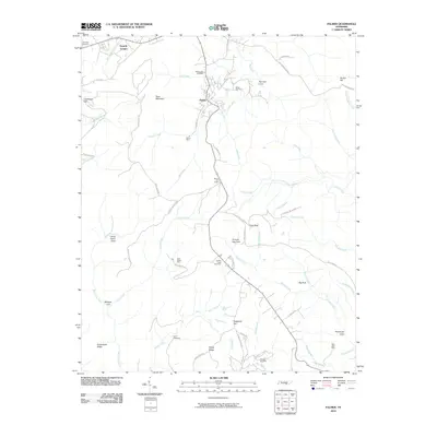 2010 Palmer2010 Print · USGSThe Cumberland Plateau in Grundy County shows its mining and mountain heritage in this 2010 survey. Researchers can trace deep family roots at Griffith Creek Cemetery or locate historic industry sites like Palmer Mine and Coal Valley Mine.
 - 2010 Map of Burrow Cove, 2010 Print
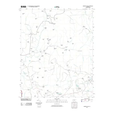 2010 Burrow Cove2010 Print · USGSGrundy County settlement and geography are captured here as the new millennium began, showing a landscape defined by its namesake coves and ridges. Genealogists can locate several family burial sites such as Roberts Cemetery and trace the proximity of Clouse Hill Mines to the community.
 - 2010 Map of Alto, 2010 Print
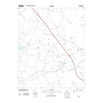 2010 Alto2010 Print · USGSPelham Valley and the Elk River lowlands are captured here in the early twenty-first century, showing a landscape rich in family history. Researchers can locate dozens of ancestral burial sites like Alto Cemetery and Sheid Cemetery or trace historical river crossings at Dabbs Ford Bridge.
 - 2010 Map of White City, 2010 Print
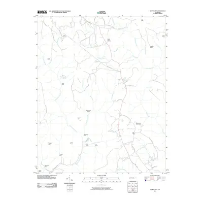 2010 White City2010 Print · USGSMarion County's plateau landscape is captured here in the early twenty-first century, showing the intersection of old mining history and rugged terrain. Local researchers can trace the Old Stage Coach Rd, locate the Marshal Meeks Number 3 Mine, and find the Gregg Cemetery.
 - 2010 Map of Collins, 2010 Print
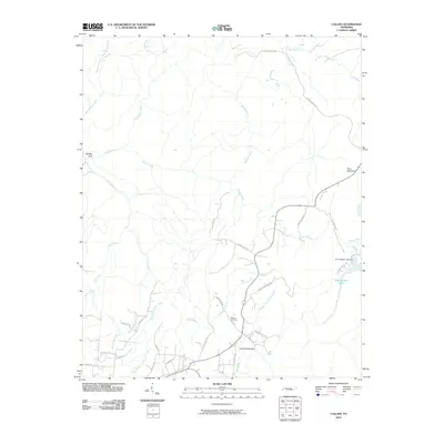 2010 Collins2010 Print · USGSGrundy County at the turn of the millennium reveals a landscape of deep gulfs and winding plateau roads. Genealogists and hikers can trace family names at Browns Cemetery or follow the historic path of Stage Coach Rd through Savage Gulf.
 - 2010 Map of Altamont, 2010 Print
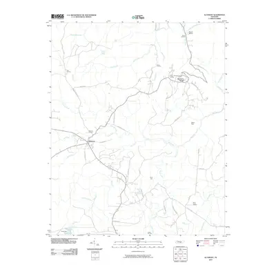 2010 Altamont2010 Print · USGSAltamont and the plateau community of Beersheba Springs are documented here during the early twenty-first century. Researchers can trace family sites like Morton Cemetery, Swiss Colony Cemetery, and the Gruetli Gas Field.
 - 2010 Map of Viola, 2010 Print
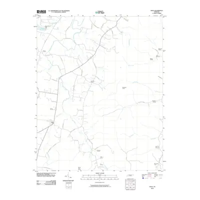 2010 Viola2010 Print · USGSWarren County, Tennessee, is captured in this early 21st-century survey as a rural landscape of winding creeks and family burial grounds. Researchers can trace local roots through landmarks like Bascom Cemetery, Viola, and Butterson Knob.
 - 2010 Map of Irving College, 2010 Print
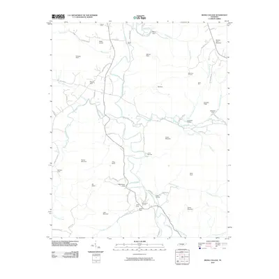 2010 Irving College2010 Print · USGSWarren County at the end of the 2000s shows a landscape of deep coves and river-valley settlements along the Collins River. Genealogists and researchers can locate the Mount Zion Cemetery, Badger Mine, and historic spots like Martins Ford.
 - 2010 Map of Hillsboro, 2010 Print
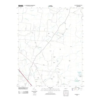 2010 Hillsboro2010 Print · USGSCemeteries and cove settlements define this Tennessee landscape in the early twenty-first century. Genealogists can trace family footprints across Simmons Cemetery, Henry Cove, and the area around Spencer Field.
 - 2010 Map of Morrison, 2010 Print
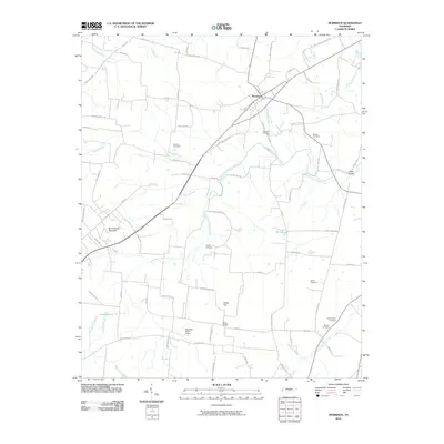 2010 Morrison2010 Print · USGSThe rural landscape of Warren County is documented here at the start of the 2010s, centered on the village of Morrison. Genealogists can trace family roots through numerous sites including Morrison Cemetery, Bryan Cemetery, and landmarks like Hanlin Bridge.
 - 2013 Map of Burrow Cove, 2013 Print
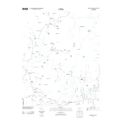 2013 Burrow Cove2013 Print · USGSThe Cumberland Plateau landscape near Tracy City is captured here in the early twenty-first century, showing a region shaped by its springs and hollows. Genealogists and hikers can trace family-named landmarks like Granny Hamby Hollow, find the Krashinsky Airfield, or locate the settlements at Sartain Springs and Summerfield.
 - 2013 Map of Irving College, 2013 Print
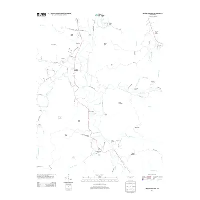 2013 Irving College2013 Print · USGSThe rural landscape of Warren County is captured here in the early 21st century, centered on the community of Irving College. Researchers can trace local landmarks like Steppsville, Camp Woodlee, and family-named features such as Wanamaker Cove and Martins Ford.
 - 2013 Map of Sewanee, 2013 Print
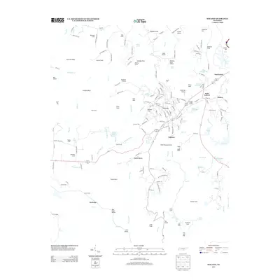 2013 Sewanee2013 Print · USGSThe Sewanee Plateau in 2013 is a landscape of high academic centers and deep, historically named coves. Researchers can trace the layout of Sewanee and Saint Andrews or find family landmarks like Bennett Cove and Billy Ought Hollow.
 - 2013 Map of White City, 2013 Print
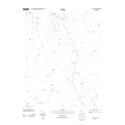 2013 White City2013 Print · USGSMarion County's plateau country and deep coves come into sharp focus in the early twenty-first century. Genealogists and hikers can trace old family footprints along Old Stage Coach Rd or locate Gregg Cemetery Rd near the waters of Foster Falls.
 - 2013 Map of Hillsboro, 2013 Print
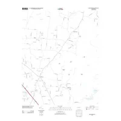 2013 Hillsboro2013 Print · USGSHillsboro and the surrounding Tennessee coves are mapped here just after the turn of the millennium. Local researchers can trace family-named landmarks like Winton Town and geographic features such as Stillhouse Hollow and Henry Cove.
 - 2013 Map of Palmer, 2013 Print
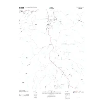 2013 Palmer2013 Print · USGSThe Cumberland Plateau landscape near Gruetli-Laager is captured here during the early twenty-first century. Genealogists and local researchers can trace the roads and hollows of Palmer, Tatesville, and Griffith Creek, or locate family landmarks in Norman Cove and Lenny Harris Cove.
 - 2013 Map of Monteagle, 2013 Print
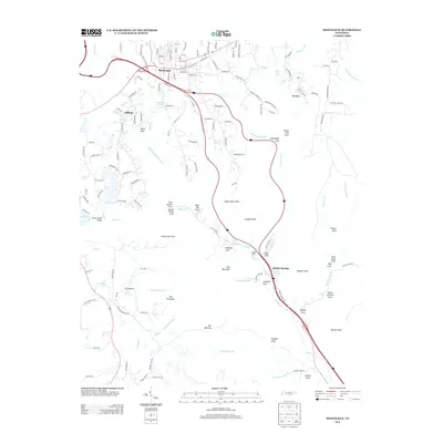 2013 Monteagle2013 Print · USGSMonteagle and the surrounding Cumberland Plateau bluffs are captured in this recent survey, showcasing a landscape defined by dramatic coves and high woodland ridges. You can trace local water features and landmarks from Tate Cave Spring and Jumpoff Falls to the settlements at Martin Springs and Clifftops.
 - 2013 Map of Morrison, 2013 Print
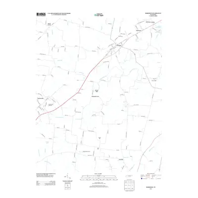 2013 Morrison2013 Print · USGSWarren County in the early twenty-first century reveals a landscape of small crossroads communities and agricultural heritage. Genealogists and local historians can trace family-named locations such as Bryan Mill, Sainville, and Old Well Crossing.
Showing maps 1-25 of 68
Top cities of Grundy County
- Gruetli-Laager historical maps
- Tracy City historical maps
- Altamont historical maps
- Coalmont historical maps
- Palmer historical maps
- Beersheba Springs historical maps
Frequently asked questions
- What are the different types of historical maps available for Grundy County?
- What is the oldest map of Grundy County?
- Where can I purchase historical maps of Grundy County for my home or office?
- Where can I download high-res historical maps of Grundy County?
- Are there historical topographic maps available for Grundy County?
- Is there historical aerial imagery available for Grundy County?
- Where are historical maps of Grundy County sourced from?