Old Maps of Center Point, Tennessee for Metal Detecting
Plan your next treasure hunt with 10 historic maps of Center Point. Find old homesites, ghost towns, trails, and gathering spots that may be lost to time — perfect for identifying promising metal detecting locations.
- Locate forgotten sites: Uncover places like long-lost settlements, abandoned rail lines, or gathering spots.
- Plan better hunts: Use map overlays combined with LiDAR or satellite views to narrow in on historically rich areas.
- Made for detectorists: Thousands of hobbyists use these maps to discover relics, coins, and hidden history.
Use these historic maps to boost your research and find new opportunities beneath the surface of Center Point.
Center Point, TN maps
(10)- 1950 Map of Grand Junction, 1981 Print
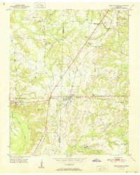
 1950 Grand Junction1981 Print · USGSRailroads converge at Grand Junction in the 1950s, anchoring a landscape of rural schoolhouses and family plantations. Genealogists can trace property and community roots through Ames Plantation, Jones Chapel Sch, and La Grange Cem.
 - 1951 Map of Grand Junction
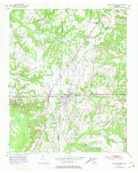
 1951 Grand Junction1951 Print · USGSThe rail-and-river landscape of the Tennessee borderlands comes alive in this mid-century survey of the junction between the Southern and Illinois Central lines. Genealogists and historians can trace community roots at Ames Plantation, Jones Chapel Sch, and Pleasant Grove Cem.2 unique versions available
 - 1956 Map of Blytheville, 1964 Print
 1956 Blytheville1964 Print · USGSWest Tennessee and the Arkansas Delta come alive in this mid-century survey of the river-and-rail corridor connecting Memphis to Jackson. Genealogists and historians can trace the rail lines of the Louisville and Nashville RR and locate landmarks like Western State Hospital or Fort Pillow State Prison Farm.2 unique versions available
 - 1959 Map of Blytheville
 1959 Blytheville1959 Print · USGSWest Tennessee and Northeast Arkansas meet along the river in the late fifties, during a period of steady industrial and agricultural growth. Genealogists can trace the rail corridors of the Illinois Central through Jackson or explore landmarks like Shiloh National Military Park and Fort Pillow State Prison.
 - 1986 Map of Memphis East
 1986 Memphis East1986 Print · USGSWest Tennessee in the mid-eighties shows the meeting point of Memphis suburban growth and the deep bottomlands of the Hatchie River. Genealogists and historians can trace rail-town development along the Southern Railway and locate major landmarks like Ames Plantation and the U S Naval Air Station.2 unique versions available
 - 2010 Map of Grand Junction, 2010 Print
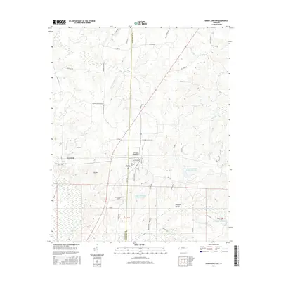
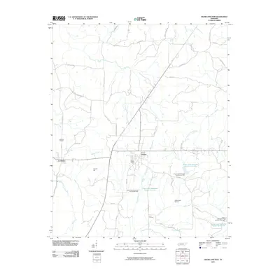 2010 Grand Junction2010 Print · USGSCovers Center Point, including La Grange, Grand Junction, and other nearby areas
 - 2013 Map of Grand Junction, 2013 Print
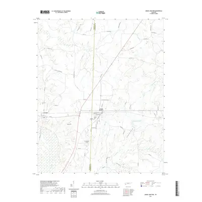
 2013 Grand Junction2013 Print · USGSCovers Center Point, including La Grange, Grand Junction, and other nearby areas
 - 2016 Map of Grand Junction, 2016 Print
 2016 Grand Junction2016 Print · USGSCovers Center Point, including La Grange, Grand Junction, and other nearby areas
 - 2019 Map of Grand Junction, 2019 Print
 2019 Grand Junction2019 Print · USGSCovers Center Point, including La Grange, Grand Junction, and other nearby areas
 - 2022 Map of Grand Junction, 2022 Print
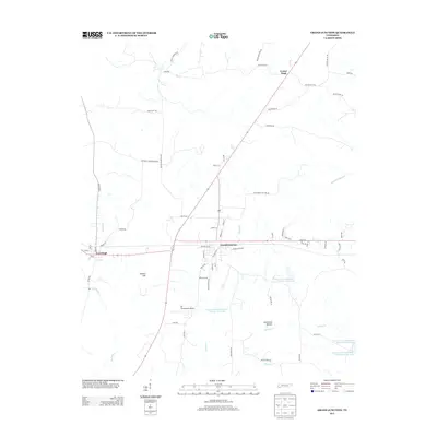
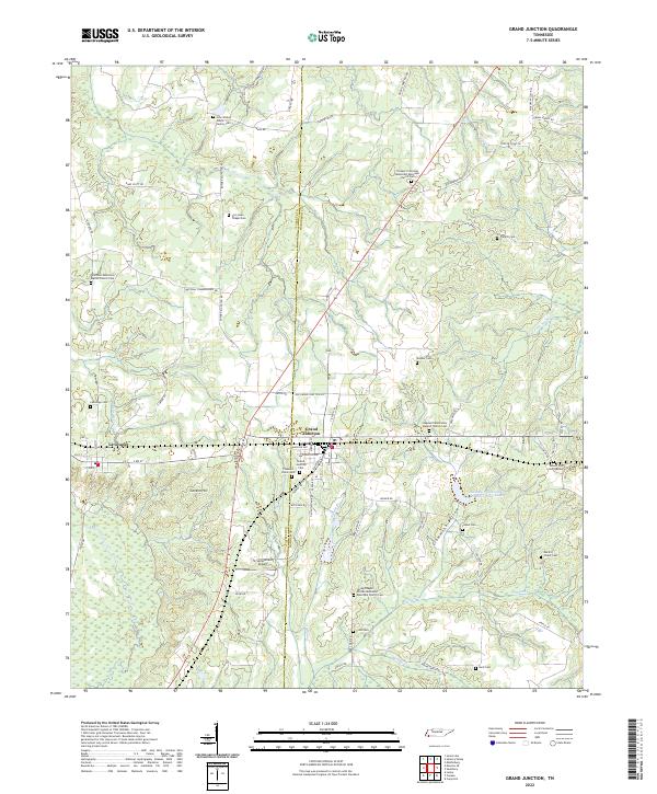 2022 Grand Junction2022 Print · USGSGrand Junction and La Grange are depicted in this recent survey, capturing the agricultural character of the Tennessee borderlands. Genealogists can locate numerous burial sites including John Walker Jones Family Cem and Spring Chapel African Methodist Episcopal Church Cem.
End of results
Showing maps 1-10 of 10
Top cities near Center Point
- Bolivar historical maps
- Somerville historical maps
- Whiteville historical maps
- Walnut historical maps
- Moscow historical maps
- Williston historical maps
See more
Frequently asked questions
- What are the different types of historical maps available for Center Point?
- What is the oldest map of Center Point?
- Where can I purchase historical maps of Center Point for my home or office?
- Where can I download high-res historical maps of Center Point?
- Are there historical topographic maps available for Center Point?
- Is there historical aerial imagery available for Center Point?
- Where are historical maps of Center Point sourced from?