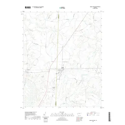
2019 Map of Grand Junction
USGS Topo · Published 2019About this map
Grand Junction and La Grange anchor this West Tennessee landscape where the Wolf River winds through the southwestern corner. The terrain is defined by low-lying areas like Clemmons Bottom and the rise of Gordon Hill, with drainage provided by local tributaries including Sandy Br, Indian Cr, and Moody Cr. This modern survey illustrates a network of rural roads and residential clusters such as those along Rube Scott Dr and National Championship Dr. For those interested in local heritage, the map identifies several distinct burial sites including Lagrange Cem and Grand Junction Cem, alongside the small St Somewhere Airport near the border of Fayette and Hardeman counties. The presence of the Indian Cr Watershed Number Four Lake reflects contemporary water management in a region defined by its creek-fed valleys and agricultural reaches.
Find a feature on this map
61 named features on this map. Tap any name to fly to it.
Don’t see what you’re looking for? This feature index may not catch every label — zoom into the map to look around manually.
Map Details
Editions of this 2019 Grand Junction Map
This is the sole edition of this map. No revisions or reprints were ever made.
Other maps of this area

1949 · Moscow
USGS Topo · 1:62,500

1950 · Ashland
USGS Topo · 1:62,500

1950 · Middleburg
USGS Topo · 1:24,000

1950 · Grand Junction
USGS Topo · 1:24,000

1951 · Middleburg
USGS Topo · 1:24,000

1951 · Hickory Valley
USGS Topo · 1:24,000

1951 · Grand Junction
USGS Topo · 1:24,000

1952 · Saulsbury
USGS Topo · 1:24,000

1953 · Holly Springs
USGS Topo · 1:62,500

1956 · Blytheville
USGS Topo · 1:250,000