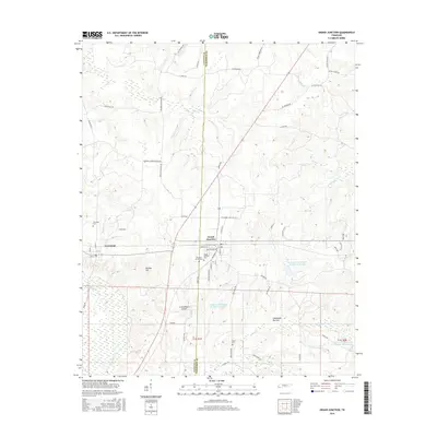
2016 Map of Grand Junction
USGS Topo · Published 2016About this map
La Grange and Grand Junction occupy the heart of this West Tennessee landscape, situated along the Fayette and Hardeman County line. The area's settlement history is reflected in a series of burial grounds including LaGrange Cem, Pleasant Grove Cem, and Grand Junction Cem. The rail influence remains visible through names like Railroad St in Grand Junction, while the natural topography is defined by the Wolf River to the south and Gordon Hill to the west. This 2016 survey captures the rural character of the region, punctuated by private aviation at St Somewhere Airport and various water management features like Indian Cr Watershed Number Two Lake. The map details a network of family-named roads such as Gurley Rd and Rube Scott Dr, which connect the scattered homesteads and agricultural bottomlands.
Find a feature on this map
60 named features on this map. Tap any name to fly to it.
Don’t see what you’re looking for? This feature index may not catch every label — zoom into the map to look around manually.
Map Details
Editions of this 2016 Grand Junction Map
This is the sole edition of this map. No revisions or reprints were ever made.
Other maps of this area
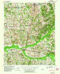
1949 · Moscow
USGS Topo · 1:62,500
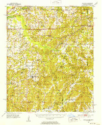
1950 · Ashland
USGS Topo · 1:62,500
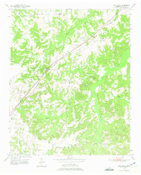
1950 · Middleburg
USGS Topo · 1:24,000
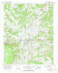
1950 · Grand Junction
USGS Topo · 1:24,000
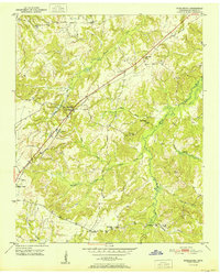
1951 · Middleburg
USGS Topo · 1:24,000
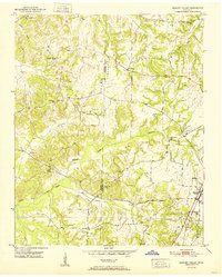
1951 · Hickory Valley
USGS Topo · 1:24,000
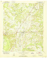
1951 · Grand Junction
USGS Topo · 1:24,000
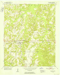
1952 · Saulsbury
USGS Topo · 1:24,000
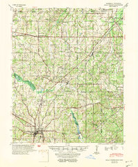
1953 · Holly Springs
USGS Topo · 1:62,500
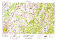
1956 · Blytheville
USGS Topo · 1:250,000