Old Maps of Hillville, Tennessee for Hiking & Exploration
Hike through history with 10 historic maps of Hillville. Explore old trails, ghost towns, and forgotten backroads — perfect for outdoor adventurers and local explorers.
- Rediscover forgotten places: Map out old mining camps, roads, and footpaths that no longer exist on modern maps.
- Layer with modern tools: Combine with LiDAR or satellite views to plan hikes through historical terrain.
- Made for exploration: Popular among hikers, overlanders, and local history lovers.
Use these maps to find adventure and explore the hidden past of Hillville.
Hillville, TN maps
(10)- 1956 Map of Blytheville, 1964 Print
 1956 Blytheville1964 Print · USGSWest Tennessee and the Arkansas Delta come alive in this mid-century survey of the river-and-rail corridor connecting Memphis to Jackson. Genealogists and historians can trace the rail lines of the Louisville and Nashville RR and locate landmarks like Western State Hospital or Fort Pillow State Prison Farm.2 unique versions available
 - 1959 Map of Blytheville
 1959 Blytheville1959 Print · USGSWest Tennessee and Northeast Arkansas meet along the river in the late fifties, during a period of steady industrial and agricultural growth. Genealogists can trace the rail corridors of the Illinois Central through Jackson or explore landmarks like Shiloh National Military Park and Fort Pillow State Prison.
 - 1959 Map of Hillville, 1964 Print
 1959 Hillville1964 Print · USGSThe tri-county border of Haywood, Hardeman, and Fayette counties comes alive in this late 1950s survey of the Hatchie River basin. Researchers can trace rural life through numerous family cemeteries and country churches like Cedar Chapel, Mt Tabor Ch, and the crossroads at Hillville.
 - 1971 Map of Whiteville
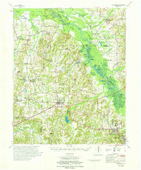 1971 Whiteville1971 Print · USGSWest Tennessee’s river-bottom country is captured here in the early seventies, centered on the Hatchie River and its vast wetlands. Genealogists can trace family names through dozens of rural landmarks like Hayes Chapel Cem, Rubens Sch, and the Western State Hospital grounds.
 - 1986 Map of Memphis East
 1986 Memphis East1986 Print · USGSWest Tennessee in the mid-eighties shows the meeting point of Memphis suburban growth and the deep bottomlands of the Hatchie River. Genealogists and historians can trace rail-town development along the Southern Railway and locate major landmarks like Ames Plantation and the U S Naval Air Station.2 unique versions available
 - 2010 Map of Hillville, 2010 Print
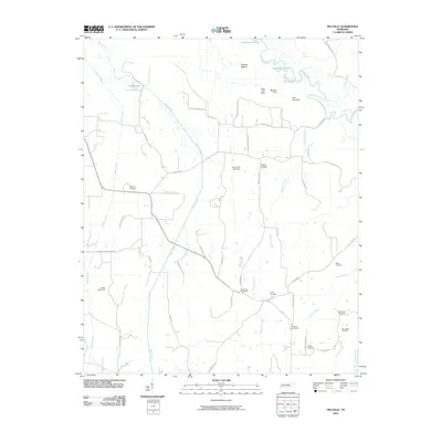 2010 Hillville2010 Print · USGSThis Tennessee river valley landscape was documented at a time when family-named roads and rural burial grounds remained the primary landmarks of the countryside. Genealogists can trace family footprints through Harmony Cemetery, Sammons Cemetery, and McGee Hardister Rd.
 - 2013 Map of Hillville, 2013 Print
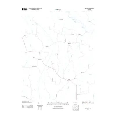 2013 Hillville2013 Print · USGSHardeman County, Tennessee, is captured here in the early twenty-first century as a landscape of river bottoms and rural crossroads. Local historians can trace family landholdings along Thomas Powell Rd and Sam Garrett Rd or locate the settlements of Hillville and Cedar Chapel.
 - 2016 Map of Hillville, 2016 Print
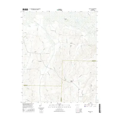 2016 Hillville2016 Print · USGSHardeman and Haywood counties are mapped here during the 2010s, showing a landscape defined by the winding Hatchie River and its bottomlands. Researchers can trace rural cemeteries and local roads like Hillville Loop near Hillville and Cedar Chapel.
 - 2019 Map of Hillville, 2019 Print
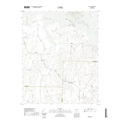 2019 Hillville2019 Print · USGSThe rural landscapes of Hardeman and Haywood counties are documented here in the late twenty-teens, where the Hatchie River meanders through its wide bottomlands. Genealogists can trace family heritage through numerous burial grounds like Sammons Cem and the small settlements of Hillville and Eurekaton.
 - 2022 Map of Hillville, 2022 Print
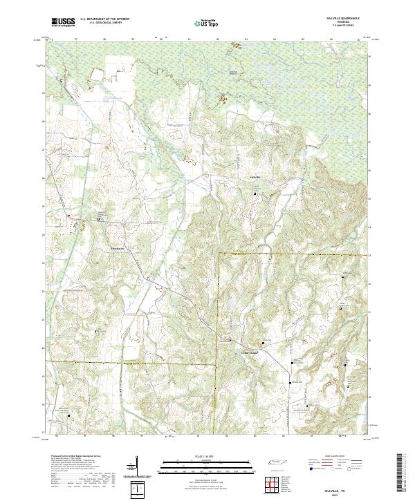 2022 Hillville2022 Print · USGSWest Tennessee's rural landscape at the intersection of Haywood and Hardeman counties reveals a network of historic river bottoms and family settlements. Researchers can trace genealogical roots through numerous sites like Simon Chapel Cem, Eurekaton, and the Hatchie River floodplains.
End of results
Showing maps 1-10 of 10
Top cities near Hillville
- Brownsville historical maps
- Bolivar historical maps
- Somerville historical maps
- Whiteville historical maps
- Stanton historical maps
- Toone historical maps
Frequently asked questions
- What are the different types of historical maps available for Hillville?
- What is the oldest map of Hillville?
- Where can I purchase historical maps of Hillville for my home or office?
- Where can I download high-res historical maps of Hillville?
- Are there historical topographic maps available for Hillville?
- Is there historical aerial imagery available for Hillville?
- Where are historical maps of Hillville sourced from?