Old Maps of Barr, Tennessee for Hiking & Exploration
Hike through history with 14 historic maps of Barr. Explore old trails, ghost towns, and forgotten backroads — perfect for outdoor adventurers and local explorers.
- Rediscover forgotten places: Map out old mining camps, roads, and footpaths that no longer exist on modern maps.
- Layer with modern tools: Combine with LiDAR or satellite views to plan hikes through historical terrain.
- Made for exploration: Popular among hikers, overlanders, and local history lovers.
Use these maps to find adventure and explore the hidden past of Barr.
Barr, TN maps
(14)- 1939 Map of Hales Point, 1943 Print
 1939 Hales Point1943 Print · USGSThe riverine borders of the Mississippi and Obion Rivers come alive in the late 1930s, showing a landscape of landings, islands, and flood control projects. Genealogists can trace family footprints through sites like Buckner Cem, Hickman, and Henning Grove Ch & Sch.
 - 1952 Map of Hales Point
 1952 Hales Point1952 Print · USGSThe Mississippi River borderlands of Tennessee and Arkansas are captured here in the early fifties, showing a landscape defined by cut-offs and island formations. Researchers can trace rural life through community landmarks like Walnut Grove Church and Cem, Chic School, and the Needham Cut-Off.4 unique versions available
 - 1956 Map of Blytheville, 1964 Print
 1956 Blytheville1964 Print · USGSWest Tennessee and the Arkansas Delta come alive in this mid-century survey of the river-and-rail corridor connecting Memphis to Jackson. Genealogists and historians can trace the rail lines of the Louisville and Nashville RR and locate landmarks like Western State Hospital or Fort Pillow State Prison Farm.2 unique versions available
 - 1959 Map of Blytheville
 1959 Blytheville1959 Print · USGSWest Tennessee and Northeast Arkansas meet along the river in the late fifties, during a period of steady industrial and agricultural growth. Genealogists can trace the rail corridors of the Illinois Central through Jackson or explore landmarks like Shiloh National Military Park and Fort Pillow State Prison.
 - 1961 Map of Hales Point, 1963 Print
 1961 Hales Point1963 Print · USGSThe Tennessee-Arkansas river borderland is captured here in the early sixties, showing the complex hydrology of the Mississippi River. Researchers can trace old community foundations and rural heritage through landmarks like Henning Grove Ch & Sch, Ashport Cem, and Hales Point.2 unique versions available
 - 1962 Map of Hales Point
 1962 Hales Point1962 Print · USGSThe Tennessee-Arkansas borderlands come alive in the early sixties as the Mississippi River carves through Lauderdale County. Researchers can trace family roots at St Luke Cem, locate the Matthews Ch & Sch, or explore the riverfront at Hales Point.
 - 1972 Map of Chic, 1975 Print
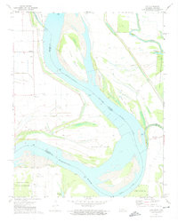 1972 Chic1975 Print · USGSThe Mississippi River meanders through the Tennessee and Arkansas borderlands in the early seventies, a landscape shaped by river engineering and rural life. Researchers can trace family history at Marys Chapel or locate old river access points like Hickman Landing and Hales Point.2 unique versions available
 - 1977 Map of Hales Point
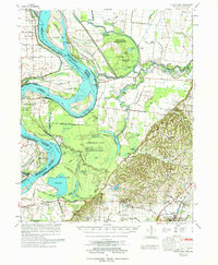 1977 Hales Point1977 Print · USGSLauderdale County, Tennessee, is mapped here in the mid-seventies, showing a landscape shaped by the Mississippi River and its historic shifts. Researchers can trace the heritage of local communities like Hales Point, locate family plots at Buckner Cem, and find old rural landmarks including Arp Sch and Marys Chapel.
 - 1986 Map of Blytheville
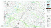 1986 Blytheville1986 Print · USGSThe Arkansas-Tennessee borderlands appear here in the mid-eighties, centered on the mighty Mississippi River and its shifting islands. Trace the footprints of Blytheville Air Force Base, old river towns like Golddust, and the extensive grounds of the Fort Pillow State Prison Farm.2 unique versions available
 - 2011 Map of Chic, 2011 Print
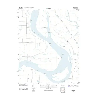 2011 Chic2011 Print · USGSThe Tennessee and Arkansas riverlands are captured here in the early twenty-first century, showing a landscape shaped by the Mississippi River. Researchers can trace old family names and sites like Buckner Cemetery, Hales Point, and the Needham Cutoff.
 - 2013 Map of Chic, 2013 Print
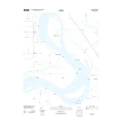 2013 Chic2013 Print · USGSAlong the Mississippi River in the early 2010s, this area reflects a landscape defined by seasonal floodplains and vital river access. Genealogists and historians can trace riverside landings like Hales Point Landing and Barr Landing or locate small communities such as Chic and Huffman.
 - 2016 Map of Chic, 2016 Print
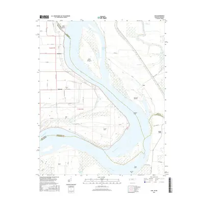 2016 Chic2016 Print · USGSThe Tennessee-Arkansas borderlands are captured here during a time of sophisticated river management and rural settlement. Genealogists and researchers can trace local family roots through Buckner Cem, Walker Cem, and the riverfront communities of Hickman and Hales Point.
 - 2019 Map of Chic, 2019 Print
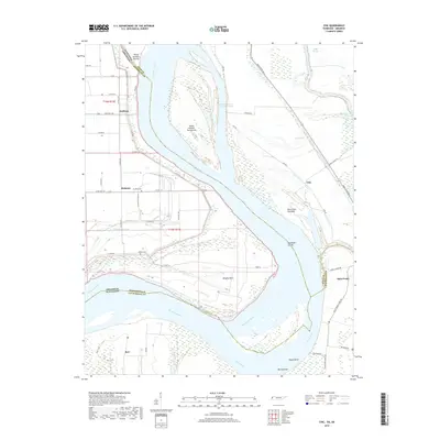 2019 Chic2019 Print · USGSThe Mississippi River forms a winding border between Tennessee and Arkansas in this 2019 topographic study. Researchers can trace rural cemeteries and river landings, including Buckner Cem, the settlement of Hales Point, and the Needham Cutoff.
 - 2022 Map of Chic, 2022 Print
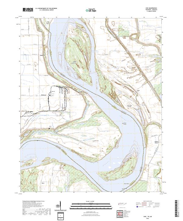 2022 Chic2022 Print · USGSDyer County and the Mississippi River bottoms are captured here in a time of modern river management and rural tradition. Genealogists can locate Buckner Cem or Walker Cem, while historians trace the river's path through Chic and the Needham Cutoff.
End of results
Showing maps 1-14 of 14
Top cities near Barr
- Blytheville historical maps
- Osceola historical maps
- Ripley historical maps
- Gosnell historical maps
- Steele historical maps
- Henning historical maps
See more
Frequently asked questions
- What are the different types of historical maps available for Barr?
- What is the oldest map of Barr?
- Where can I purchase historical maps of Barr for my home or office?
- Where can I download high-res historical maps of Barr?
- Are there historical topographic maps available for Barr?
- Is there historical aerial imagery available for Barr?
- Where are historical maps of Barr sourced from?