2019 Map of Chic
USGS Topo · Published 2019About this map
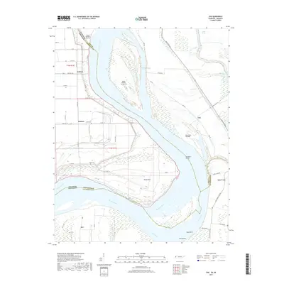
The Mississippi River dominates this landscape, serving as the fluid border between Arkansas and Tennessee. The map reveals a complex riverine environment where the main channel meets the Obion River, creating a network of chutes and towheads like Island Number Twentyone Chute and Blue Grass Towhead. This 2019 survey documents the intricate levee systems and drainage features, such as Ditch Number 38, that protect low-lying settlements including Hickman and Huffman. Local history is grounded in the presence of family-named landmarks and small burial grounds, notably Buckner Cem and Walker Cem, which sit amidst a grid of rural roads and agricultural fields. The Needham Cutoff and shifting banks at Wrights Point illustrate the ongoing engineering and natural forces shaping this alluvial plain, where river commerce and farming remain the primary drivers of settlement.
Find a feature on this map
47 named features on this map. Tap any name to fly to it.
Don’t see what you’re looking for? This feature index may not catch every label — zoom into the map to look around manually.
Map Details
Editions of this 2019 Chic Map
This is the sole edition of this map. No revisions or reprints were ever made.
Other maps of this area

1939 · Hales Point
USGS Topo · 1:62,500

1939 · Caruthersville
USGS Topo · 1:62,500

1939 · Blytheville
USGS Topo · 1:62,500

1940 · Hayti
USGS Topo · 1:62,500

1951 · Caruthersville
USGS Topo · 1:62,500

1952 · Hales Point
USGS Topo · 1:62,500

1955 · Hayti
USGS Topo · 1:62,500

1955 · Blytheville
USGS Topo · 1:62,500

1956 · Dyersburg
USGS Topo · 1:250,000

1956 · Blytheville
USGS Topo · 1:250,000