2020s Maps of Monroe County, Tennessee
Explore 23 historic maps of Monroe County from the 2020s. These maps offer a rare glimpse into what life looked like during the 2020s — showing old roads, neighborhoods, homes, and landmarks that have changed or disappeared over time.
Whether you're researching your family's past, planning a metal detecting trip, or studying how Monroe County's landscape evolved across the 2020s, these high-resolution maps are a powerful tool for exploring the history of this region.
- Focus on a specific era: All maps on this page are from the 2020s, giving you a focused view of this time period.
- See what’s changed: Compare century-old streets, trails, and buildings to today's modern landscape using overlays and satellite layers.
- Research with precision: Use these maps for genealogy, historical research, land use analysis, or educational projects.
- View, download, or print: Maps are fully viewable online in high resolution, and can be downloaded or printed for your own records.
Start exploring Monroe County's history through authentic maps from the 2020s. This is your window into the past.
Monroe County, TN maps
(23)- 2022 Map of McDaniel Bald, 2022 Print
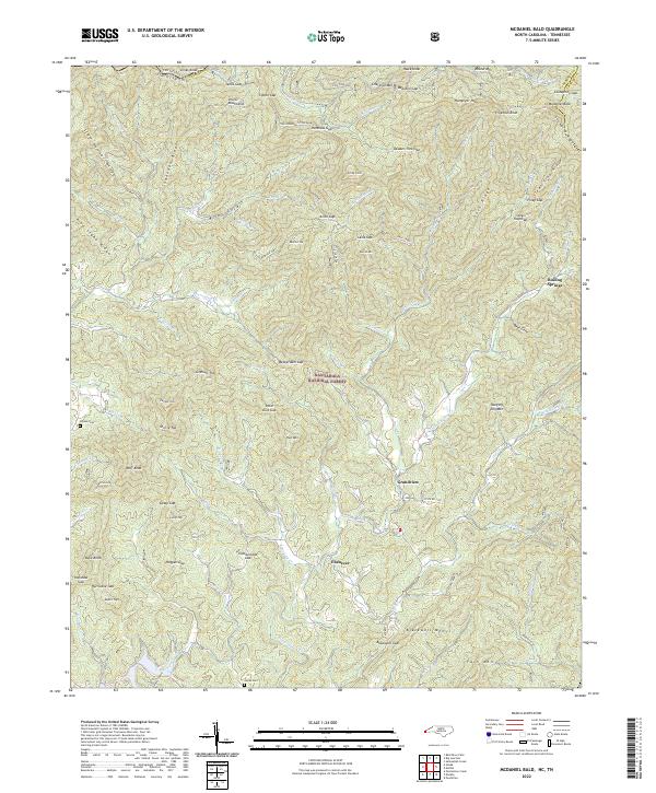 2022 McDaniel Bald2022 Print · USGSThe Unicoi and Snowbird Mountains meet in this high-country survey of the North Carolina borderlands. Researchers can locate remote mountain cemeteries like Bryson Cemetery and trace the paths of Hanging Dog Creek and the Tellico River.
 - 2022 Map of Unaka, 2022 Print
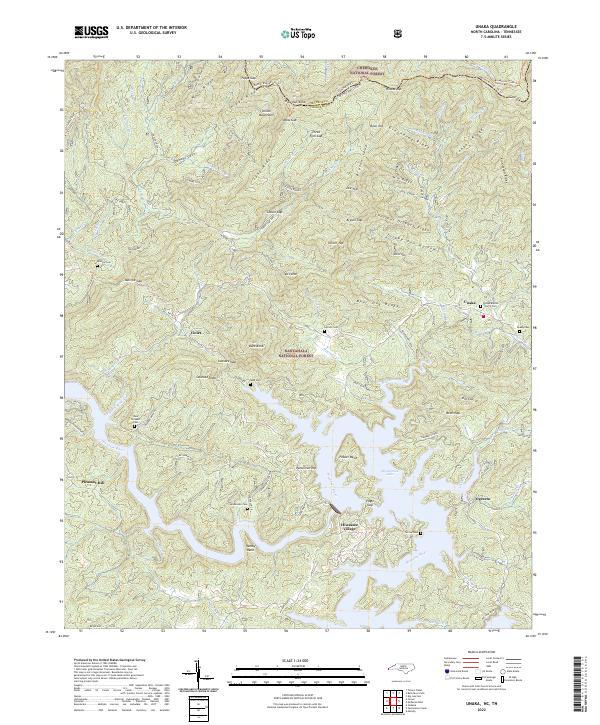 2022 Unaka2022 Print · USGSThe Tennessee and North Carolina borderlands come alive in this recent survey of the Hiwassee river valley and the surrounding national forests. Researchers can trace remote mountain settlements and family landmarks such as Lenderman Cem, Unaka Baptist Church, and Ogreeta.
 - 2022 Map of Meadow, 2022 Print
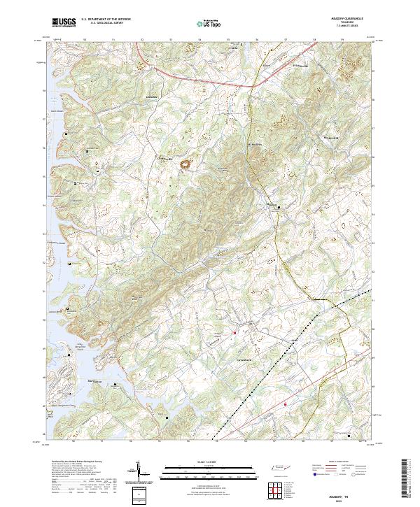 2022 Meadow2022 Print · USGSLoudon and Blount counties are depicted here in the early 2020s, showing the interaction between the Little Tennessee River and longstanding rural communities. Genealogists can trace numerous family burial sites such as Morganton Cem and Cloyds Creek Cem near Greenback and Friendsville.
 - 2022 Map of Loudon, 2022 Print
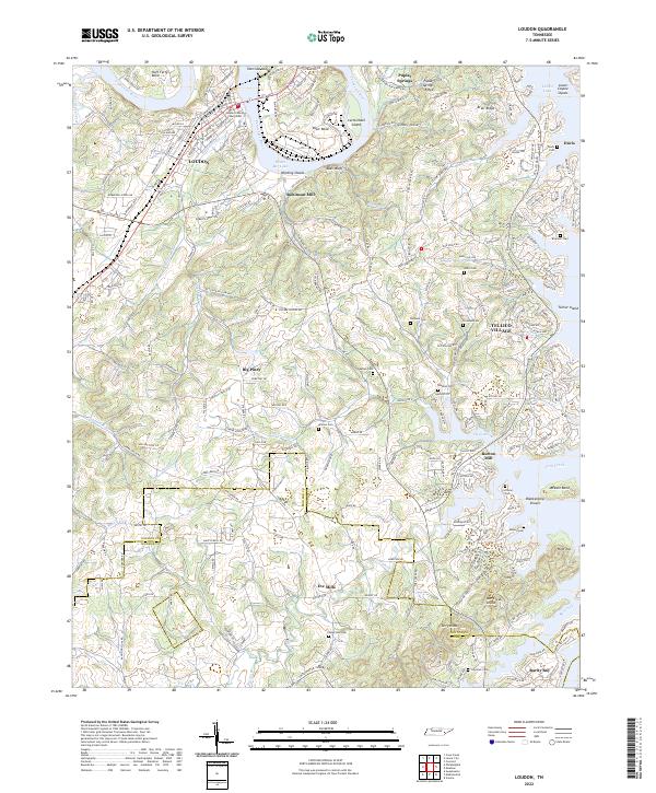 2022 Loudon2022 Print · USGSLoudon and the Tennessee River valley are documented here in recent years, showing a landscape defined by expansive lakes and deep-rooted settlements. Genealogists can trace family names through several historic sites like Davis Cem, Eve Mills, and Burton Mill.
 - 2022 Map of Pattie Gap, 2022 Print
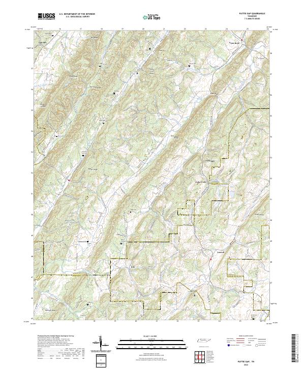 2022 Pattie Gap2022 Print · USGSThe convergence of four East Tennessee counties comes to life in this recent survey of the ridges and valleys near the Tennessee River. Genealogists and local historians can trace family land near Cook Mill, Blue Spring Ch, and numerous burial sites like Galyon Cem.
 - 2022 Map of Rafter, 2022 Print
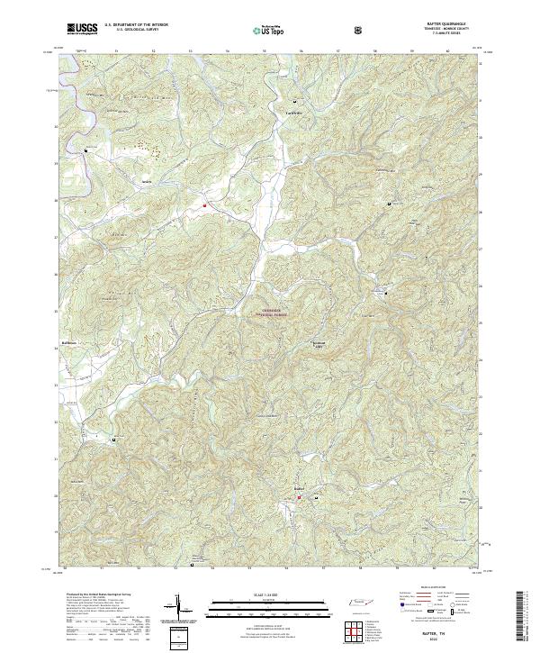 2022 Rafter2022 Print · USGSMonroe County, Tennessee, is mapped here in the early 2020s, showing the intersection of the Cherokee National Forest and mountain communities. Researchers can trace rural life through landmarks like the Missionary Baptist Church and family burial sites including Shaw Cem and Tellico Cem.
 - 2022 Map of McFarland, 2022 Print
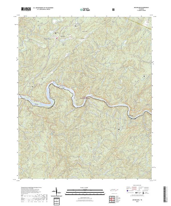 2022 McFarland2022 Print · USGSThe Hiwassee River corridor in Polk County remains a landscape of deep ridges and isolated mountain hollows. Researchers can locate numerous family burial sites like Burchfield Cem and trace historic routes including Towee Pike and Tellico Reliance Rd.
 - 2022 Map of Sweetwater, 2022 Print
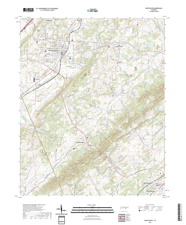 2022 Sweetwater2022 Print · USGSSweetwater and the surrounding valley are shown here in their contemporary layout at the start of the 2020s. Researchers can trace family history at Heiskell Cem, locate landmarks like the Monroe County Airport, or follow the rail corridor of CSX Transportation.
 - 2022 Map of Philadelphia, 2022 Print
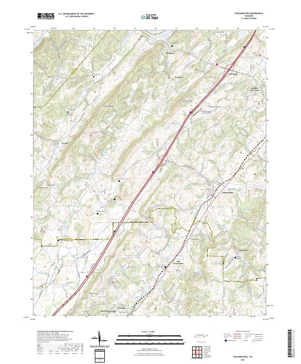 2022 Philadelphia2022 Print · USGSPhiladelphia and the Tennessee Valley ridges come into focus on this modern survey of the Loudon and Monroe county borders. Genealogists can locate numerous family burial sites like Wilson Cem and Lay Cem or trace the early paths along Pond Creek.
 - 2022 Map of Mecca, 2022 Print
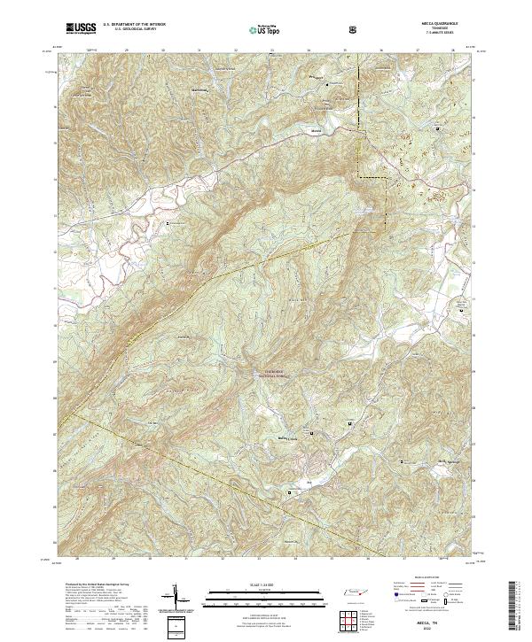 2022 Mecca2022 Print · USGSThe Tennessee hills of Monroe and McMinn counties are seen here in the early twenty-first century, showing the intersection of forest conservation and rural settlement. Genealogists can trace family footprints at Rural Vale Baptist Church Cem, Adams Cem, and the small community of Mecca.
 - 2022 Map of Tapoco, 2022 Print
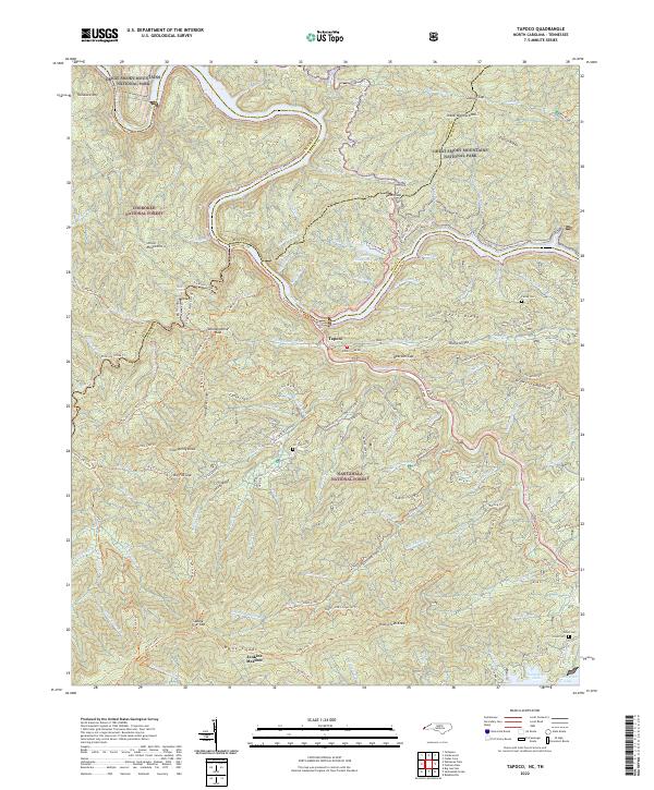 2022 Tapoco2022 Print · USGSThe North Carolina-Tennessee borderlands appear here in the early twenty-first century, centered on the river junction at Tapoco. Historians can trace old river crossings at Rhymers Ferry and local heritage sites like Farley Cem and the Mtn View School.
 - 2022 Map of Englewood, 2022 Print
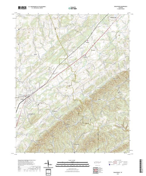 2022 Englewood2022 Print · USGSModern McMinn and Monroe Counties retain their rural character in the early twenty-first century, spanning the divide between the flatlands and the knobs. Researchers can locate numerous family burial grounds and small settlements like Old Englewood, Nonaburg, and the Chestua Campground Community Cem.
 - 2022 Map of Bald River Falls, 2022 Print
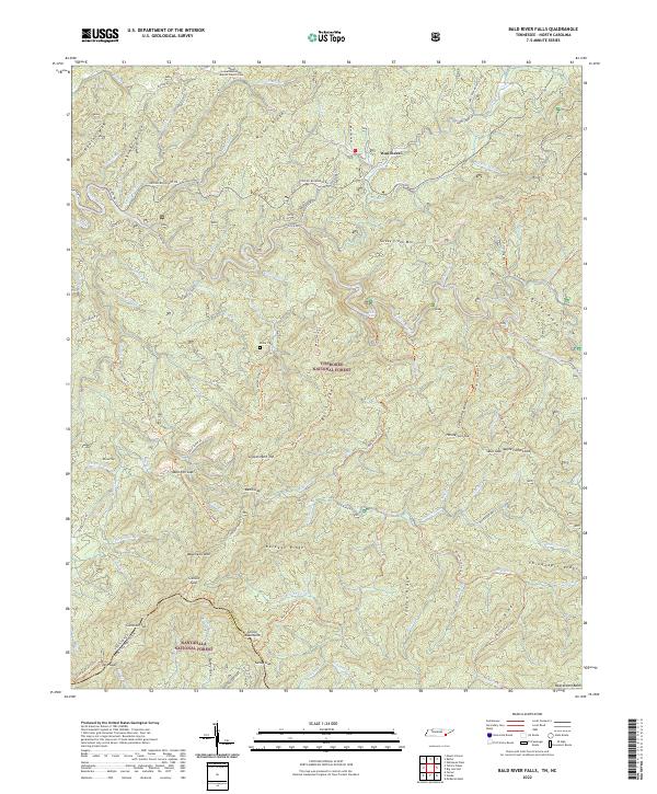 2022 Bald River Falls2022 Print · USGSThe Unicoi Mountains and the Tennessee-North Carolina borderlands are captured here in a period of modern forest management and preserved wilderness. Researchers can locate remote burial grounds like Miller Cem and trace the historic path of the Warriors Passage Trl.
 - 2022 Map of Farner, 2022 Print
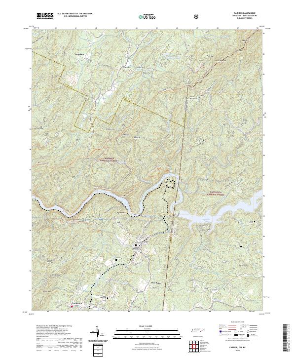 2022 Farner2022 Print · USGSThe Tennessee and North Carolina borderlands come alive in this study of the mountains surrounding Apalachia Lake. Researchers can trace family sites at New Zion Cem and Farmer Presbyterian Church or follow the old tracks through Unicoi Gap.
 - 2022 Map of Big Junction, 2022 Print
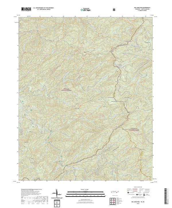 2022 Big Junction2022 Print · USGSThe Unicoi Mountains and the border between Tennessee and North Carolina are mapped here in the early twenty-first century. Genealogists and hikers can trace the Green Cove Cem and miles of remote trails near Big Junction and Haw Knob.
 - 2022 Map of Whiteoak Flats, 2022 Print
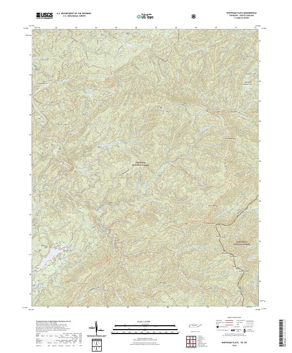 2022 Whiteoak Flats2022 Print · USGSThe Tennessee and North Carolina borderlands are captured here in a high-elevation wilderness within the Unicoi Mountains. Researchers can trace the remote paths and peaks of the Cherokee National Forest through landmarks like Big Fodderstack, Farr Gap, and the valley at Clemmer Cove.
 - 2022 Map of Tellico Plains, 2022 Print
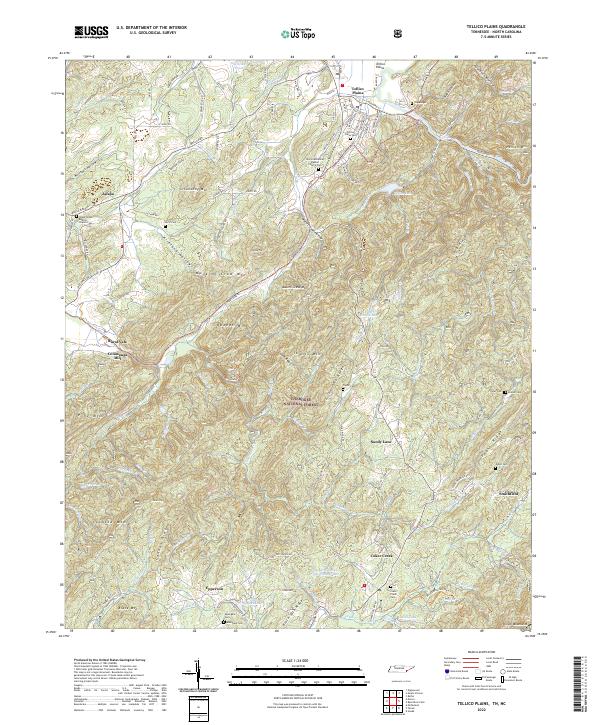 2022 Tellico Plains2022 Print · USGSThe Tennessee mountains near the North Carolina border come into focus in this recent look at Tellico Plains and the Cherokee National Forest. Genealogists and local historians can trace legacy sites like Conasauga Mill, Rural Vale, and the Tellico Plains Cemetery.
 - 2022 Map of Mount Vernon, 2022 Print
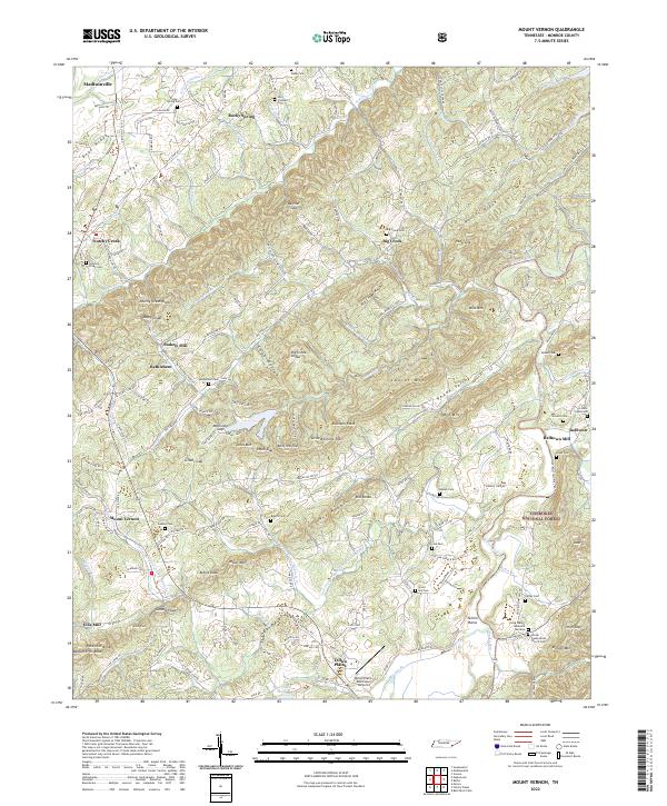 2022 Mount Vernon2022 Print · USGSMonroe County settlement patterns and mountain ridges come to life in this detailed survey of the southern Appalachian foothills. Genealogists and researchers can trace lineage through numerous rural sites like Notchy Creek Cem, Stakely Mill, and Belltown.
 - 2022 Map of Vonore, 2022 Print
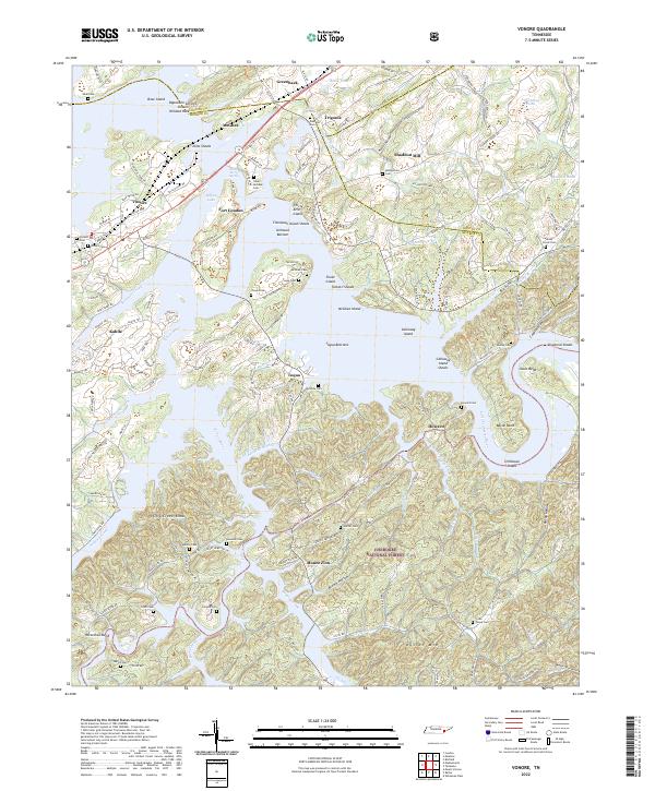 2022 Vonore2022 Print · USGSThe Little Tennessee River valley near the Monroe and Loudon county lines is captured here in the contemporary era. Researchers can locate numerous family burial sites like Niles-McGhee Cem and Hardin Cem, or trace the grounds of Fort Loudon and Shaddon Mill.
 - 2022 Map of Tallassee, 2022 Print
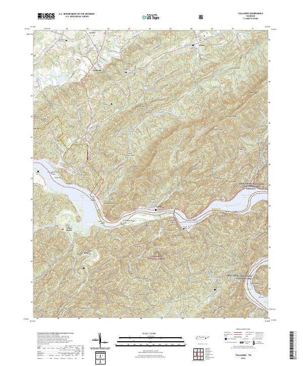 2022 Tallassee2022 Print · USGSSoutheastern Tennessee’s mountain and river borderland is captured here in the early twenty-first century as the national forest meets the Great Smoky Mountains. Genealogists can locate numerous rural burial sites including McMurray Cem and Citico Cem near the banks of the Little Tennessee River.
 - 2022 Map of Niota, 2022 Print
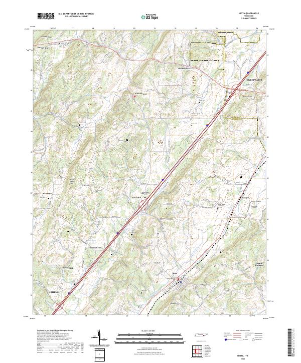 2022 Niota2022 Print · USGSThe rural valleys and ridges of McMinn County are shown here in detail during the early 2020s. Genealogists can locate numerous small burial grounds and landmarks like Union McMinn Baptist Church Cem, Acme Mill, and Riddles Store.
 - 2022 Map of Calderwood, 2022 Print
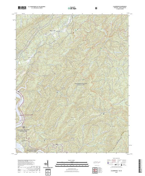 2022 Calderwood2022 Print · USGSThe borderlands of Blount County and North Carolina appear here in the early 2020s, showing a landscape defined by protected forests and family history. Genealogists can locate several remote burial sites including Ghormley Cem, Burchfield Cem, and Chilhowee Cem.
 - 2023 Map of Madisonville, 2023 Print
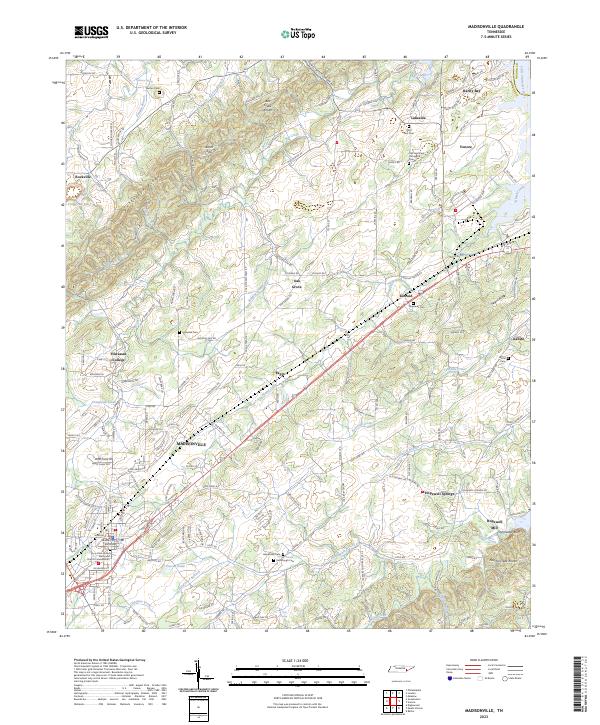 2023 Madisonville2023 Print · USGSThe Monroe County seat and the campus of Hiwassee College appear here in the early twenty-first century. Genealogists can locate family landmarks like Stephens Cem, Kimbrough Cem, and the historic Hopewell Mill on Notchy Creek.
End of results
Showing maps 1-23 of 23
Top cities of Monroe County
Frequently asked questions
- What are the different types of historical maps available for Monroe County?
- What is the oldest map of Monroe County?
- Where can I purchase historical maps of Monroe County for my home or office?
- Where can I download high-res historical maps of Monroe County?
- Are there historical topographic maps available for Monroe County?
- Is there historical aerial imagery available for Monroe County?
- Where are historical maps of Monroe County sourced from?