2010s Maps of Monroe County, Tennessee
Explore 92 historic maps of Monroe County from the 2010s. These maps offer a rare glimpse into what life looked like during the 2010s — showing old roads, neighborhoods, homes, and landmarks that have changed or disappeared over time.
Whether you're researching your family's past, planning a metal detecting trip, or studying how Monroe County's landscape evolved across the 2010s, these high-resolution maps are a powerful tool for exploring the history of this region.
- Focus on a specific era: All maps on this page are from the 2010s, giving you a focused view of this time period.
- See what’s changed: Compare century-old streets, trails, and buildings to today's modern landscape using overlays and satellite layers.
- Research with precision: Use these maps for genealogy, historical research, land use analysis, or educational projects.
- View, download, or print: Maps are fully viewable online in high resolution, and can be downloaded or printed for your own records.
Start exploring Monroe County's history through authentic maps from the 2010s. This is your window into the past.
Monroe County, TN maps
(92)- 2010 Map of Sweetwater, 2010 Print
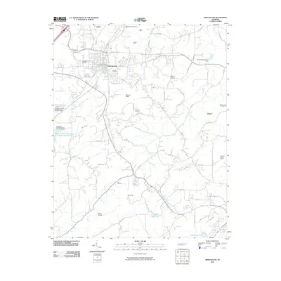 2010 Sweetwater2010 Print · USGSSweetwater and the surrounding Monroe County landscape are documented here in the early 21st century. Researchers can locate family sites and industrial landmarks including Heiskell Mine, Ballard Mill Settlement Dam, and several local burial grounds like Roy Cemetery.
 - 2010 Map of Pattie Gap, 2010 Print
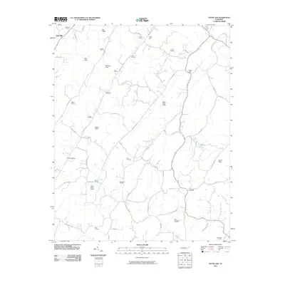 2010 Pattie Gap2010 Print · USGSRoane County at the start of the 2010s reveals a landscape of family-named ridges and valley settlements. Genealogists can trace family heritage through numerous burial sites like Mount Cumberland Cemetery, Deatherage Cemetery, and Raby Cemetery.
 - 2010 Map of Philadelphia, 2010 Print
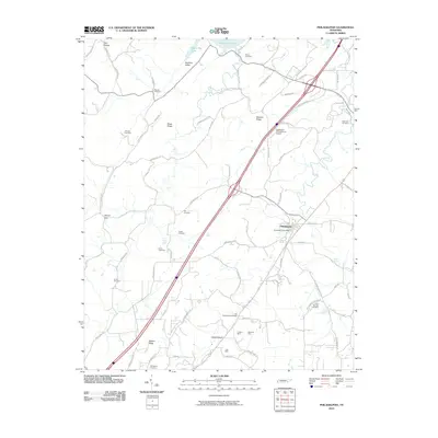 2010 Philadelphia2010 Print · USGSPhiladelphia and the surrounding Loudon County countryside are shown here in the early twenty-first century, featuring a landscape of ridges and valleys. Researchers can trace local lineage through Old Sweetwater Cemetery or locate industrial sites like Preston Mine and McGuire Mine.
 - 2010 Map of Niota, 2010 Print
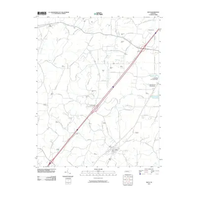 2010 Niota2010 Print · USGSNiota and the surrounding McMinn County hills are shown in detail during the early twenty-first century, reflecting a landscape defined by traditional industry and family roots. Genealogists can locate numerous family burial grounds such as Matlock Cemetery and Neil Cemetery, while industrial historians can trace early mining sites like Garrison Mine.
 - 2010 Map of Meadow, 2010 Print
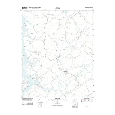 2010 Meadow2010 Print · USGSLoudon County at the turn of the twenty-first century reveals a landscape where modern reservoirs meet deep-rooted family history. Genealogists can trace ancestral sites at Unitia Cemetery and McDonald Cemetery while following the old paths to Davis Ferry and Greenback.
 - 2010 Map of Englewood, 2010 Print
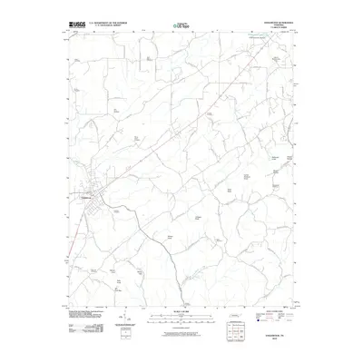 2010 Englewood2010 Print · USGSEastern Tennessee at the start of the 2010s reveals a landscape of enduring rural settlements and family-named knobs. Researchers can trace ancestral connections through numerous local sites like Cochran Cemetery, Mount Arnon Cemetery, and the community around Englewood.
 - 2010 Map of Madisonville, 2010 Print
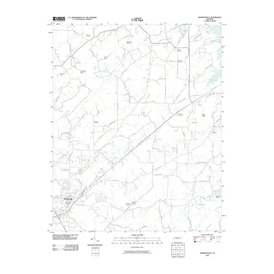 2010 Madisonville2010 Print · USGSMadisonville and the rolling Monroe County countryside are documented here in the early twenty-first century. Genealogists can locate family landmarks like Stephens Cemetery and White Cemetery or trace historic routes such as Nile Ferry Rd.
 - 2011 Map of Rafter, 2011 Print
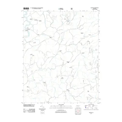 2011 Rafter2011 Print · USGSMonroe County’s high ridges and river valleys are captured here in the early twenty-first century, showing a landscape of scattered rural settlements. Researchers can trace family history through several burial grounds like Giles Cemetery and Mount Isabel Cemetery, or locate the old community centers of Ballplay and Tariffville.
 - 2011 Map of Mecca, 2011 Print
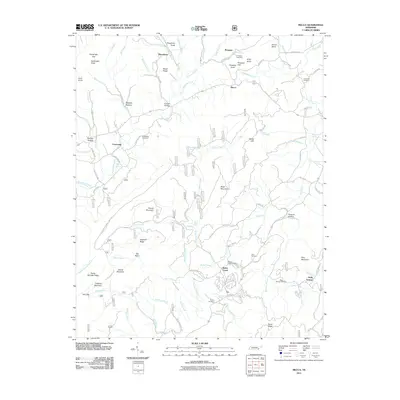 2011 Mecca2011 Print · USGSMonroe County mountain communities are captured here in the early twenty-first century as they interface with the forest. Family historians can locate several burial grounds including Conasauga Cemetery and Prospect Cemetery, or trace the waters of Lick Creek and Bullet Creek Falls.
 - 2011 Map of Mount Vernon, 2011 Print
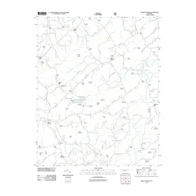 2011 Mount Vernon2011 Print · USGSMonroe County's river valleys and ridges appear in detail during the early twenty-first century. Researchers can trace local lineage through several sites like Old Prospect Cemetery, Stakely Mill, and the Tellico Plains Airstrip.
 - 2011 Map of Tallassee, 2011 Print
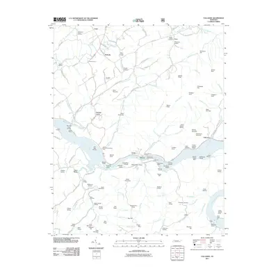 2011 Tallassee2011 Print · USGSThe Little Tennessee River valley remains the center of life in this corner of the foothills during the early twenty-first century. Researchers can trace family history through sites like Williamsons Chapel, the Scona Lodge Ferry, and the Tallassee Post Office.
 - 2011 Map of Unaka, 2011 Print
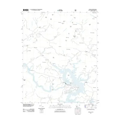 2011 Unaka2011 Print · USGSWestern North Carolina's mountain landscape is captured here in the early twenty-first century, centered on the Hiwassee Dam and its reservoir. Genealogists can trace family burial sites at Unaka Cemetery, Lenderman Cemetery, and Rose Cemetery among the high ridges.
 - 2011 Map of Tellico Plains, 2011 Print
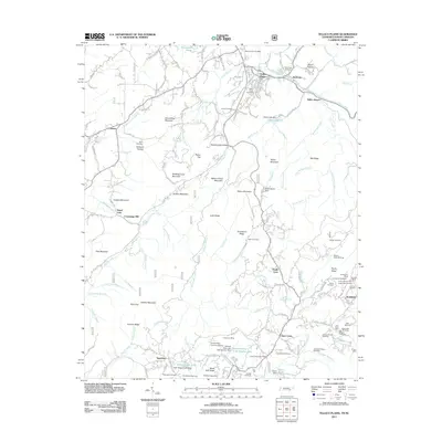 2011 Tellico Plains2011 Print · USGSThe Tennessee mountain country around Monroe County comes into focus here just after the first decade of the new millennium. Researchers can trace historical extraction and family history through the Lenderman Mine, Beatys Chapel, and the Coker Creek Cemetery.
 - 2011 Map of Loudon, 2011 Print
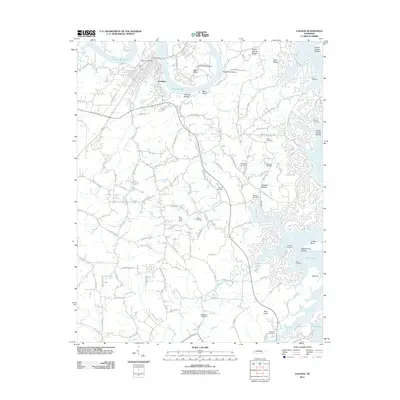 2011 Loudon2011 Print · USGSLoudon and the shores of Tellico Lake are captured here in the early twenty-first century, showing a mix of riverside industry and expanding residential roads. Genealogists can locate family burial sites like McKee Cemetery and Davis Cemetery or trace landmarks like Roy White Dam.
 - 2011 Map of Vonore, 2011 Print
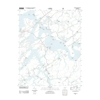 2011 Vonore2011 Print · USGSThe confluence of the Little Tennessee and Tellico Rivers in the early twenty-first century reveals a landscape shaped by water and heritage. Researchers can trace historic river crossings at Bacon Ferry and locate numerous family burial sites like Toqua Cemetery and Hardin Cemetery.
 - 2011 Map of Tapoco, 2011 Print
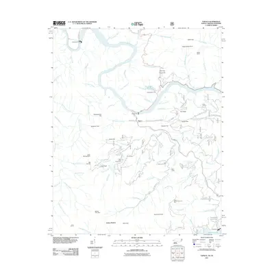 2011 Tapoco2011 Print · USGSThe Tennessee and North Carolina borderlands are centered here at a time when hydroelectric power and timber management defined the region. Researchers can trace family burial sites at Farley Cemetery or follow industrial history through Cheoah Dam and Santeetlah Dam.
 - 2011 Map of McFarland, 2011 Print
 2011 McFarland2011 Print · USGSThe Hiwassee River valley in East Tennessee was home to small riverfront settlements and rugged forest communities. Genealogists can locate family landmarks such as Stephens Cemetery and Maggies Mill, or trace the path of the John Muir Trailhead.
 - 2011 Map of Calderwood, 2011 Print
 2011 Calderwood2011 Print · USGSHappy Valley and the surrounding ridges of the Tennessee-North Carolina border are documented here in the early twenty-first century. Researchers can locate family landmarks such as Boone Cemetery, trace the path through Gourley Ford, or explore the environs of Calderwood.
 - 2011 Map of Whiteoak Flats, 2011 Print
 2011 Whiteoak Flats2011 Print · USGSThe Tennessee mountains near Citico and Whiteoak Flats are shown here in the early 2000s, centered on the complex drainage of Citico Creek. Hikers and local historians can trace paths to Cold Spring Lookout Tower, Jeffrey Hell, and the Indian Boundary Recreation Area.
 - 2011 Map of Farner, 2011 Print
 2011 Farner2011 Print · USGSThe Tennessee and North Carolina borderlands are defined by the winding Hiwassee River and high ridgelines during the early twenty-first century. Researchers can locate local landmarks like the Farner Post Office and Brock Cemetery, or trace infrastructure such as the Apalachia Tunnel.
 - 2011 Map of Big Junction, 2011 Print
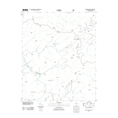 2011 Big Junction2011 Print · USGSThe Unicoi Mountains along the Tennessee-North Carolina border are shown in detail as they appeared in 2011, crisscrossed by modern roads and ancient trails. Researchers can find Green Cove Cemetery, locate isolated settlements like Kirkland Cove, and trace the path of the Cherohala Skyway.
 - 2011 Map of Bald River Falls, 2011 Print
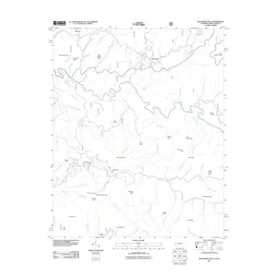 2011 Bald River Falls2011 Print · USGSThe Tennessee mountains near the North Carolina border are captured here in the early twenty-first century, showing a landscape of high peaks and river valleys. Researchers can trace historic family locations at Miller Cemetery or explore landmarks like the Waucheesi Fire Tower and Bald River Falls.
 - 2011 Map of McDaniel Bald, 2011 Print
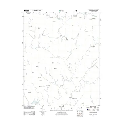 2011 McDaniel Bald2011 Print · USGSCherokee County’s high ridges and creek valleys are documented here in the early twenty-first century. Genealogists and local historians can trace family locations near Bryson Cemetery, Ebenezer, and the namesake McDaniel Bald.
 - 2013 Map of Madisonville, 2013 Print
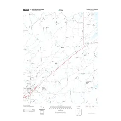 2013 Madisonville2013 Print · USGSMonroe County, Tennessee, is shown here as the town of Madisonville extends toward the shores of Tellico Lake. Genealogists and historians can trace family locations near Hiwassee College, Hopewell Mill, and the many small settlements like Rockville or Fagin.
 - 2013 Map of Mount Vernon, 2013 Print
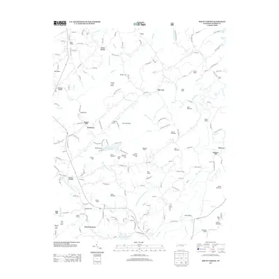 2013 Mount Vernon2013 Print · USGSMonroe County, Tennessee, is captured here in the early twenty-first century, showing a landscape defined by the Tellico River and rural milling history. Genealogists and local historians can locate specific family landmarks like Fate Irvin Knob, Ellis Mill, and the community of Mount Harmony.
Showing maps 1-25 of 92
Top cities of Monroe County
Frequently asked questions
- What are the different types of historical maps available for Monroe County?
- What is the oldest map of Monroe County?
- Where can I purchase historical maps of Monroe County for my home or office?
- Where can I download high-res historical maps of Monroe County?
- Are there historical topographic maps available for Monroe County?
- Is there historical aerial imagery available for Monroe County?
- Where are historical maps of Monroe County sourced from?