2000s (21st Century) Maps of Lynchburg, Tennessee
Explore 40 historic maps of Lynchburg from the 2000s (21st Century). These maps offer a rare glimpse into what life looked like during the 2000s — showing old roads, neighborhoods, homes, and landmarks that have changed or disappeared over time.
Whether you're researching your family's past, planning a metal detecting trip, or studying how Lynchburg's landscape evolved across the 2000s, these high-resolution maps are a powerful tool for exploring the history of this region.
- Focus on a specific era: All maps on this page are from the 2000s, giving you a focused view of this time period.
- See what’s changed: Compare century-old streets, trails, and buildings to today's modern landscape using overlays and satellite layers.
- Research with precision: Use these maps for genealogy, historical research, land use analysis, or educational projects.
- View, download, or print: Maps are fully viewable online in high resolution, and can be downloaded or printed for your own records.
Start exploring Lynchburg's history through authentic maps from the 2000s. This is your window into the past.
Lynchburg, TN maps
(40)- 2010 Map of Belleville, 2010 Print
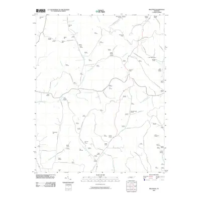 2010 Belleville2010 Print · USGSLincoln County in the early twenty-first century remains a landscape of family-named ridges and hollows. Genealogists can trace deep local roots through over a dozen mapped burial sites, including McAdam Cemetery, Nichols Cemetery, and Warren Cemetery.
 - 2010 Map of Huntland, 2010 Print
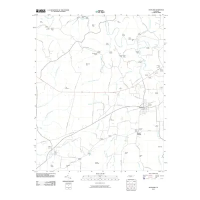 2010 Huntland2010 Print · USGSHuntland and the southern Franklin County countryside are captured here in a period of rural stability. Researchers can trace ancestral locations through dozens of named burial sites like Old Beans Creek Cemetery and Hunt-Larkin Cemetery or find old homesites near Rich Crossing.
 - 2010 Map of Mulberry, 2010 Print
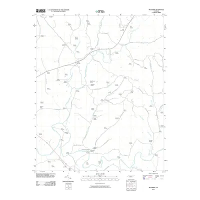 2010 Mulberry2010 Print · USGSThe Elk River valley south of Mulberry shows a deeply carved landscape of family-named hollows and river bends during the early twenty-first century. Researchers can locate dozens of ancestral sites like the Mount Moriah Cemetery or trace the early community at The Quarter.
 - 2010 Map of Lynchburg West, 2010 Print
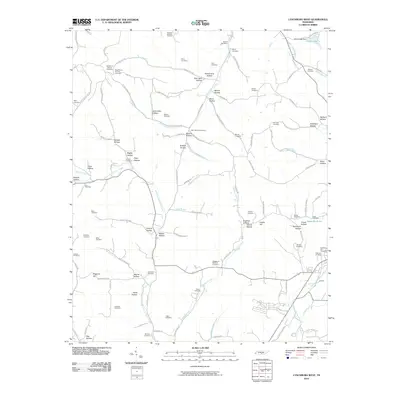 2010 Lynchburg West2010 Print · USGSThe rural landscape west of Lynchburg reveals a complex network of hollows and family cemeteries in the early twenty-first century. Genealogists can trace family roots at sites like the Motlow Cemetery, Old Mount Herman Cemetery, and Boonnville Cemetery.
 - 2010 Map of Lynchburg East, 2010 Print
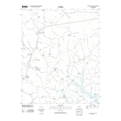 2010 Lynchburg East2010 Print · USGSThe hill country south of Tullahoma is mapped here in the early twenty-first century, showing the intricate ridges and hollows that drain into Murray Lake. Genealogists can locate over twenty burial sites, including the County Line Cemetery, Pioneer Cemetery, and Old Bethel Cemetery.
 - 2010 Map of Lois, 2010 Print
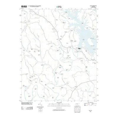 2010 Lois2010 Print · USGSThe Elk River valley is captured here in the early twenty-first century as the waters of Murray Lake fill the deep hollows around the Tims Ford Dam. Local researchers can locate dozens of ancestral burial grounds, including Lois Cemetery, Brownington Cemetery, and Marble Plains Cemetery.
 - 2010 Map of Normandy, 2010 Print
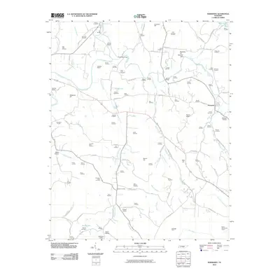 2010 Normandy2010 Print · USGSThe Tennessee countryside around Normandy is captured here in the early twenty-first century, centered on the winding Duck River. Researchers can trace dozens of family burial sites like Kimzey Cemetery and Shofner Cemetery, or locate landmarks such as Saltpeter Bluff and Cortner Lake.
 - 2010 Map of Tullahoma, 2010 Print
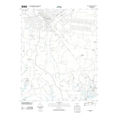 2010 Tullahoma2010 Print · USGSTullahoma and Estill Springs are captured in the early twenty-first century, showcasing a transition from rural farmland to expanding municipal centers. Researchers can locate dozens of burial grounds like Camp Forrest Cemetery and Mount Olivet Cemetery or trace the inlets of Murray Lake.
 - 2013 Map of Normandy, 2013 Print
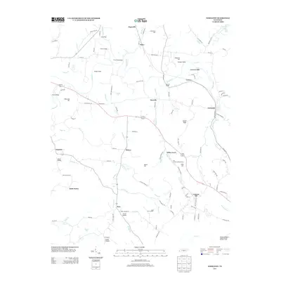 2013 Normandy2013 Print · USGSNear the Duck River valley in the early 2010s, this Tennessee landscape shows a transition from historic milling sites to modern aviation. Local historians can trace established settlements like Normandy and Raus alongside landmarks like Cortners Mill and Saltpeter Bluff.
 - 2013 Map of Belleville, 2013 Print
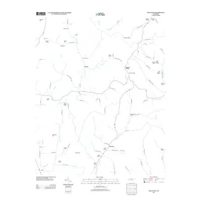 2013 Belleville2013 Print · USGSBledsoe and Belleville are captured here in the early twenty-first century, showing a landscape of named hollows and creek branches. Researchers can trace family history through landmarks like John Redd Hollow, The Narrows, and Wells Hollow.
 - 2013 Map of Lynchburg East, 2013 Print
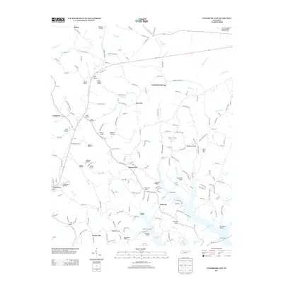 2013 Lynchburg East2013 Print · USGSThe eastern edges of Lynchburg and the rising Highland Rim are captured here in the early twenty-first century. Genealogists can trace family lands across Stillhouse Hollow, Possumtrot Ridge, and the settlements of Bakertown and Turkey Creek.
 - 2013 Map of Mulberry, 2013 Print
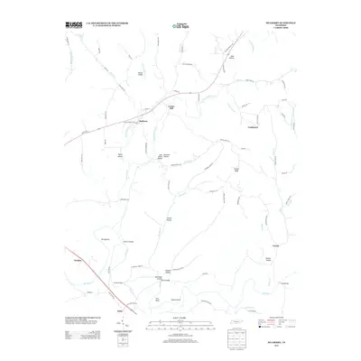 2013 Mulberry2013 Print · USGSLincoln County at the start of the 2010s reveals a landscape of enduring family hollows and river crossings along the Elk River. Genealogists and local historians can trace legacy landmarks like Lockes Mill, the settlement of Mulberry, and Shiloh Bridge.
 - 2013 Map of Tullahoma, 2013 Print
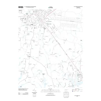 2013 Tullahoma2013 Print · USGSTullahoma and its neighboring communities are shown during a period of modern expansion and military presence. Researchers can trace local landmarks from Arnold Air Force Base to the shores of Tims Ford Lake and the quiet hamlet of Estill Springs.
 - 2013 Map of Lynchburg West, 2013 Print
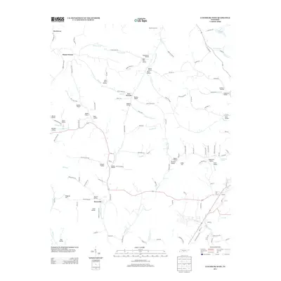 2013 Lynchburg West2013 Print · USGSLincoln County at the start of the 2010s is a landscape of family-named hollows and winding creek forks. Local historians can trace established routes like Old Fayetteville Hwy or find the origins of names at Sam Hart Hollow and Booneville.
 - 2013 Map of Huntland, 2013 Print
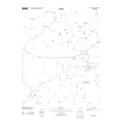 2013 Huntland2013 Print · USGSFranklin County, Tennessee, is mapped here in the early twenty-first century, showing a landscape defined by traditional hollows and agricultural crossroads. Genealogists and local historians can trace family locations near Shady Grove, Mount Carmel, and Falls Mill.
 - 2013 Map of Lois, 2013 Print
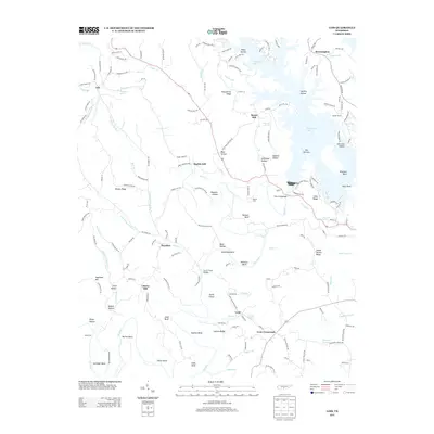 2013 Lois2013 Print · USGSFranklin County's river-driven landscape is captured here in the early twenty-first century as the Elk River meets the modern expanse of Tims Ford Lake. Researchers can locate family landmarks and rural hubs such as Lois, Lexie Crossroads, and Cline Ridge.
 - 2016 Map of Mulberry, 2016 Print
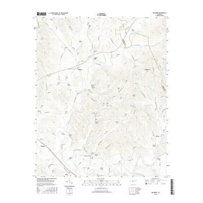 2016 Mulberry2016 Print · USGSLincoln County and the Tennessee hill country appear here in the mid-2010s, showing a landscape defined by hollows and family homesteads. Genealogists can trace decades of history through dozens of burial sites like Moores Chapel Cem and landmarks like Lockes Mill.
 - 2016 Map of Normandy, 2016 Print
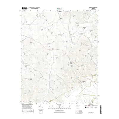 2016 Normandy2016 Print · USGSCentral Tennessee river valleys define this landscape in the mid-2010s, where the Duck River meets historic milling settlements. Researchers can trace family legacies at Cortners Mill or locate ancestral burial sites like Shofner Cem and Hooser Cem.
 - 2016 Map of Belleville, 2016 Print
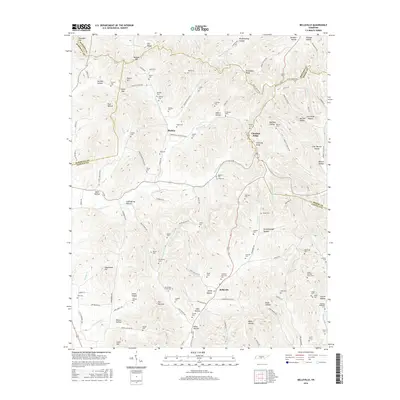 2016 Belleville2016 Print · USGSThe hills of Lincoln and Marshall Counties come alive in this modern survey of the Tennessee interior. Genealogists and historians can trace dozens of family-named burial sites and landmarks, from Sorrells Cem and Washburn Cem to the unique Three Hundred Dollar Rd.
 - 2016 Map of Lynchburg West, 2016 Print
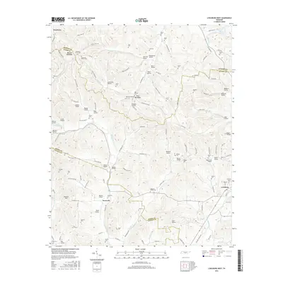 2016 Lynchburg West2016 Print · USGSThe borderlands of Moore, Lincoln, and Bedford Counties are captured here in the mid-2010s, showing a landscape defined by deep hollows and family homesteads. Researchers can locate numerous small burial sites like Old Mount Herman Cem, Stacy Cem, and Womack Cem along the winding creek branches.
 - 2016 Map of Huntland, 2016 Print
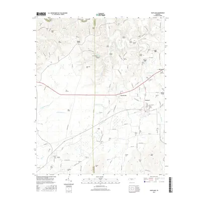 2016 Huntland2016 Print · USGSFranklin and Lincoln counties come together in this 2016 survey of the Tennessee borderlands during a period of preserved rural character. Genealogists can trace family footprints at Moore Memorial Cemetery, Falls Mill, and the early settlement of Old Salem.
 - 2016 Map of Tullahoma, 2016 Print
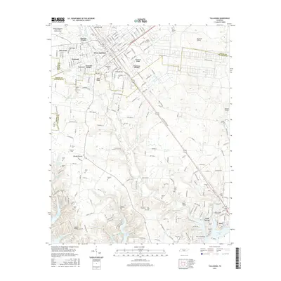 2016 Tullahoma2016 Print · USGSThe Tullahoma area in the mid-2010s reveals a landscape where mid-century aviation history and modern lakefront development meet. Researchers can trace dozens of local burial sites like Maplewood Cem and Hinkle Cem or locate the shoreline features of Tims Ford Lake.
 - 2016 Map of Lois, 2016 Print
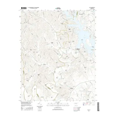 2016 Lois2016 Print · USGSThe Tennessee Highland Rim comes to life in this survey of the communities near Tims Ford Lake and the Elk River. Researchers can locate dozens of family burial sites like Marble Plains Cem and Ashby Cem tucked among the hollows.
 - 2016 Map of Lynchburg East, 2016 Print
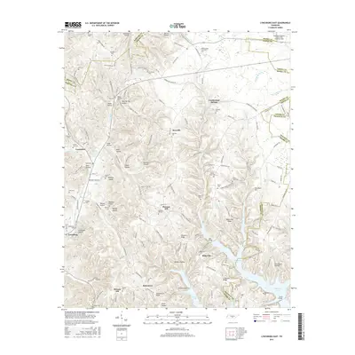 2016 Lynchburg East2016 Print · USGSThe Tennessee highlands east of Lynchburg are shown here as a complex landscape of narrow hollows and the broad reaches of the reservoir. Genealogists can trace family landmarks and burial sites like Old Bethel Cem, Pioneer Cem, and the community at Raysville.
 - 2019 Map of Tullahoma, 2019 Print
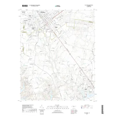 2019 Tullahoma2019 Print · USGSTullahoma and the surrounding Highland Rim are captured here during a period of modern growth and historical preservation. Genealogists can locate family burial sites at Oakwood Cem and Evergreen Cem or trace the early settlements of Center Grove and Estill Springs.
Showing maps 1-25 of 40
Top cities near Lynchburg
- Shelbyville historical maps
- Tullahoma historical maps
- Fayetteville historical maps
- Estill Springs historical maps
- Huntland historical maps
- Normandy historical maps
Top neighborhoods of Lynchburg
- Bakertown historical maps
- Pleasant Hill historical maps
- Countyline historical maps
- Raysville historical maps
- Ridgeville historical maps
- Turkey Creek historical maps
See more
Frequently asked questions
- What are the different types of historical maps available for Lynchburg?
- What is the oldest map of Lynchburg?
- Where can I purchase historical maps of Lynchburg for my home or office?
- Where can I download high-res historical maps of Lynchburg?
- Are there historical topographic maps available for Lynchburg?
- Is there historical aerial imagery available for Lynchburg?
- Where are historical maps of Lynchburg sourced from?