2020s Maps of Morgan County, Tennessee
Explore 18 historic maps of Morgan County from the 2020s. These maps offer a rare glimpse into what life looked like during the 2020s — showing old roads, neighborhoods, homes, and landmarks that have changed or disappeared over time.
Whether you're researching your family's past, planning a metal detecting trip, or studying how Morgan County's landscape evolved across the 2020s, these high-resolution maps are a powerful tool for exploring the history of this region.
- Focus on a specific era: All maps on this page are from the 2020s, giving you a focused view of this time period.
- See what’s changed: Compare century-old streets, trails, and buildings to today's modern landscape using overlays and satellite layers.
- Research with precision: Use these maps for genealogy, historical research, land use analysis, or educational projects.
- View, download, or print: Maps are fully viewable online in high resolution, and can be downloaded or printed for your own records.
Start exploring Morgan County's history through authentic maps from the 2020s. This is your window into the past.
Morgan County, TN maps
(18)- 2022 Map of Elverton, 2022 Print
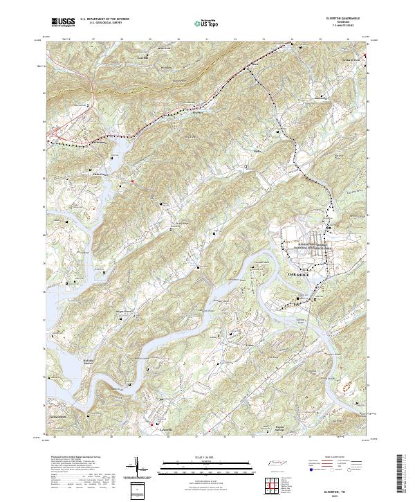 2022 Elverton2022 Print · USGSThe confluence of the Clinch and Emory Rivers in Roane County is captured here during the early twenty-first century. Genealogists and local historians can trace family-named burial grounds like Jonesville Cem and Ladd Cem, or explore the footprint of the Manhattan Project National Historical Park.
 - 2022 Map of Harriman, 2022 Print
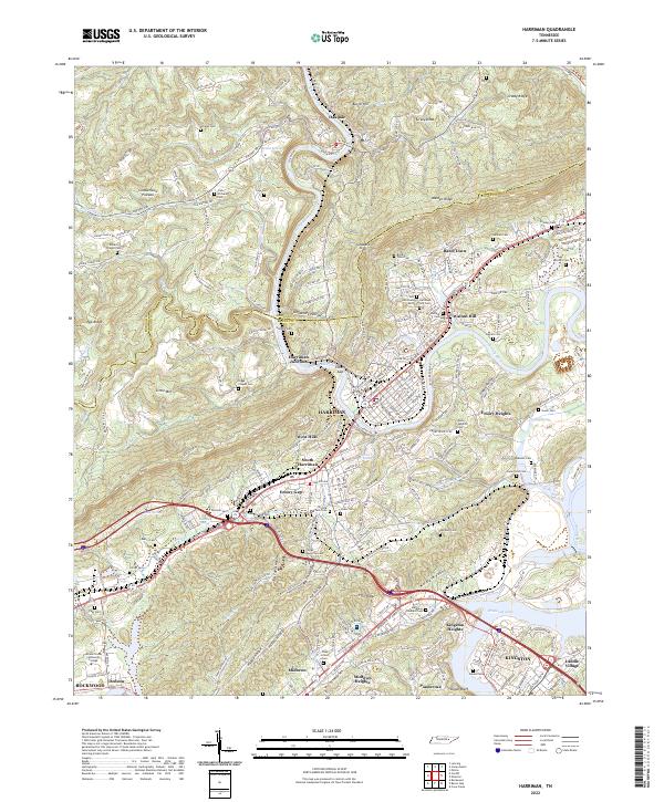 2022 Harriman2022 Print · USGSHarriman and Kingston come alive in this contemporary record of the Tennessee Valley and the base of the Cumberland Plateau. Genealogists can trace numerous family burial sites such as Hannah Cem and Daniels Cem alongside the historic Emory River.
 - 2022 Map of Cardiff, 2022 Print
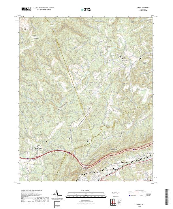 2022 Cardiff2022 Print · USGSThe Cumberland Plateau and Walden Ridge meet in this modern survey of the Roane County foothills. Genealogists can locate family landmarks like the Hembree Cem and Pyott Cem, or trace the development of Cardiff and Rockwood.
 - 2022 Map of Twin Bridges, 2022 Print
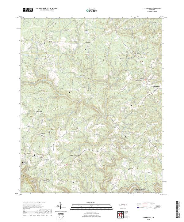 2022 Twin Bridges2022 Print · USGSThe Cumberland Plateau in the early 2020s remains a landscape of dispersed settlements and family land. Genealogists can locate family-named landmarks like Meister Hill Cem, Adkins Mill, and Howard Cem along the winding ridges near Deer Lodge.
 - 2022 Map of Grimsley, 2022 Print
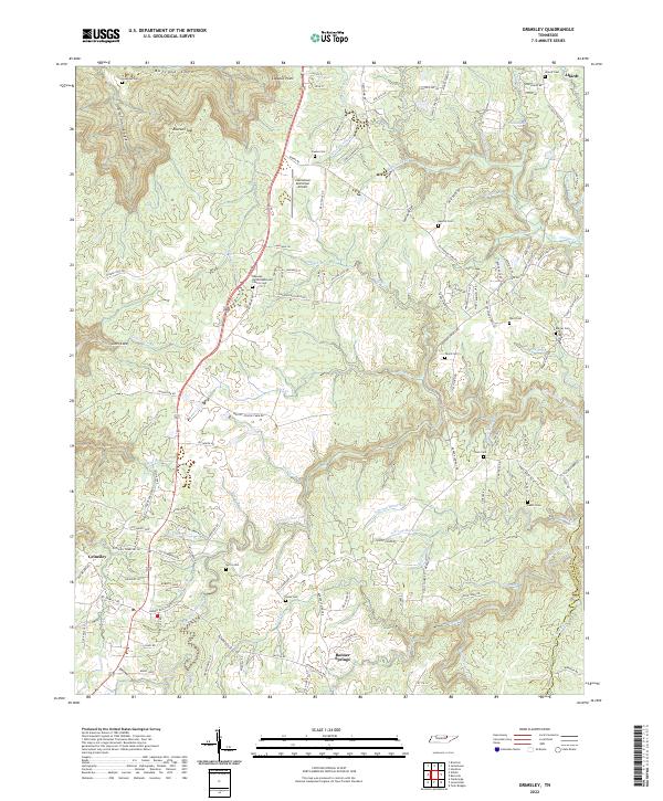 2022 Grimsley2022 Print · USGSFentress County's rural uplands and plateau gorges come into focus in this contemporary survey of the communities south of Jamestown. Genealogists and historians can trace local family landmarks through sites like the Roanoke United Methodist Church Cem, Tench Cem, and Banner Springs.
 - 2022 Map of Petros, 2022 Print
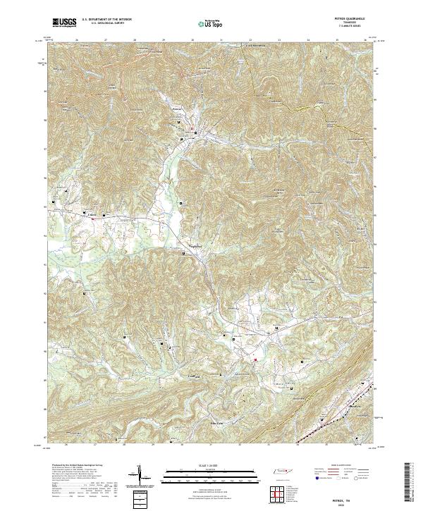 2022 Petros2022 Print · USGSThe Cumberland Mountains of Morgan County are documented here in the early twenty-first century, showing the isolated communities of Petros and Coalfield. Researchers can locate numerous family burial sites such as Langley Cem and Stephens Cem or trace the paths of Crooked Fork and Whetstone Mtn.
 - 2022 Map of Fork Mountain, 2022 Print
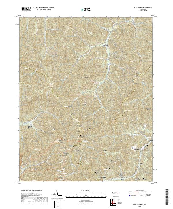 2022 Fork Mountain2022 Print · USGSThe Cumberland Mountains in the 2020s remain a landscape of isolated valleys and steep ridges at the meeting of Scott, Anderson, and Morgan Counties. Researchers can trace family history through numerous mountain burial grounds like Daughtery Cem 2 and Beech Grove Cem or locate old coal camps such as Moores Camp.
 - 2022 Map of Windrock, 2022 Print
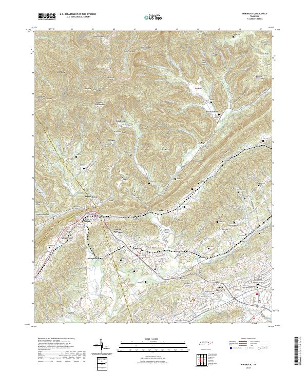 2022 Windrock2022 Print · USGSThe Cumberland Mountain foothills and the tri-county corner of Anderson, Roane, and Morgan are documented here in recent detail. Researchers can trace ancestral sites from Oliver Springs to Windrock, including numerous burial grounds like Frost Cem and Lively Cem.
 - 2022 Map of Pilot Mountain, 2022 Print
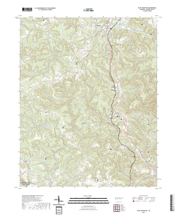 2022 Pilot Mountain2022 Print · USGSIn the Tennessee highlands on the Cumberland Plateau, this recent survey documents the rural communities and deep-cut creek beds of Morgan County. Genealogists can locate numerous burial sites such as Springfield Chapel Cem and Hendren Cem or trace the course of the Obed Wild and Scenic River.
 - 2022 Map of Gobey, 2022 Print
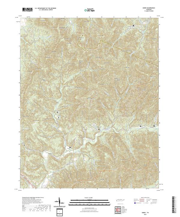 2022 Gobey2022 Print · USGSThe mountain community of Gobey and the surrounding Tennessee highlands are captured here in the early twenty-first century. Genealogists can trace family heritage through local landmarks like Elizabeth Cem, Sexton Cem, and Pleas McCartt Mtn.
 - 2022 Map of Hebbertsburg, 2022 Print
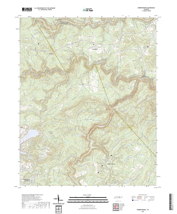 2022 Hebbertsburg2022 Print · USGSThe Cumberland Plateau and the deep valleys of the Obed Wild And Scenic River define this rural Tennessee landscape in the early twenty-first century. Genealogists can locate numerous small burial grounds, including Potters Chapel Cem, New Home Cem, and Sims Cem.
 - 2022 Map of Lancing, 2022 Print
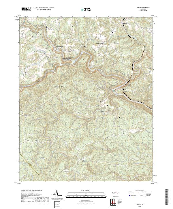 2022 Lancing2022 Print · USGSThe Morgan County highlands are documented here during the early twenty-first century as the rugged Cumberland Plateau landscape remains largely intact. Genealogists can locate family burial sites like Hamby Cem and Hall Cem or trace the winding Cumberland Trl past Nemo.
 - 2022 Map of Camp Austin, 2022 Print
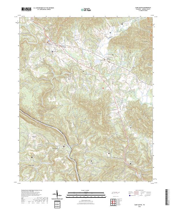 2022 Camp Austin2022 Print · USGSWartburg and the surrounding Morgan County ridges are shown in modern detail, capturing a landscape where the Emory River cuts through the Cumberland Plateau. Family historians can locate dozens of ancestral sites, including the Camp Austin Cem, Armes Chapel Cem, and Honeycutt Cem.
 - 2022 Map of Jones Knob, 2022 Print
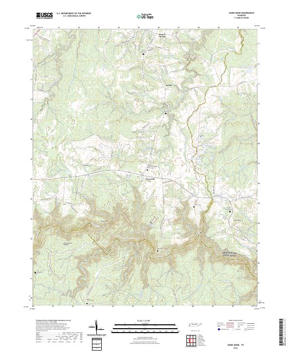 2022 Jones Knob2022 Print · USGSSettlement and terrain on the Cumberland Plateau are captured here as the twenty-first century began. Researchers can trace family history through several burial grounds, such as Durham Cem and Wattenbarger Cem, near the community of Jonesville.
 - 2022 Map of Burrville, 2022 Print
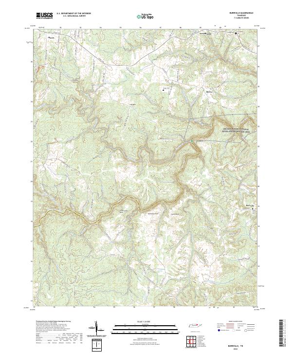 2022 Burrville2022 Print · USGSThe Cumberland Plateau in Fentress and Morgan counties is shown here as a landscape of deep river forks and high ridges. Genealogists can trace family locations near Burrville and Allardt, or locate burial sites like Fellowship Cem and Mount Vernon Cem.
 - 2022 Map of Honey Creek, 2022 Print
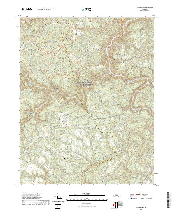 2022 Honey Creek2022 Print · USGSThe Big South Fork gorge in Scott County is shown here in the contemporary era, where deep river canyons meet high plateau ridges. Researchers can locate ancestral sites like Blevins Cem and Mount Helen Cem alongside settlements at Gernt and Zenith.
 - 2022 Map of Rugby, 2022 Print
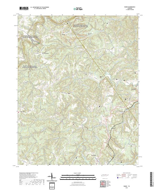 2022 Rugby2022 Print · USGSThe Tennessee Cumberland Plateau is shown here during a period of modern conservation and quiet rural life. Family researchers can trace ancestral locations through numerous scattered sites like Brewster Cem, Pleasant Ridge Cem, and the historic settlement of Rugby.
 - 2022 Map of Robbins, 2022 Print
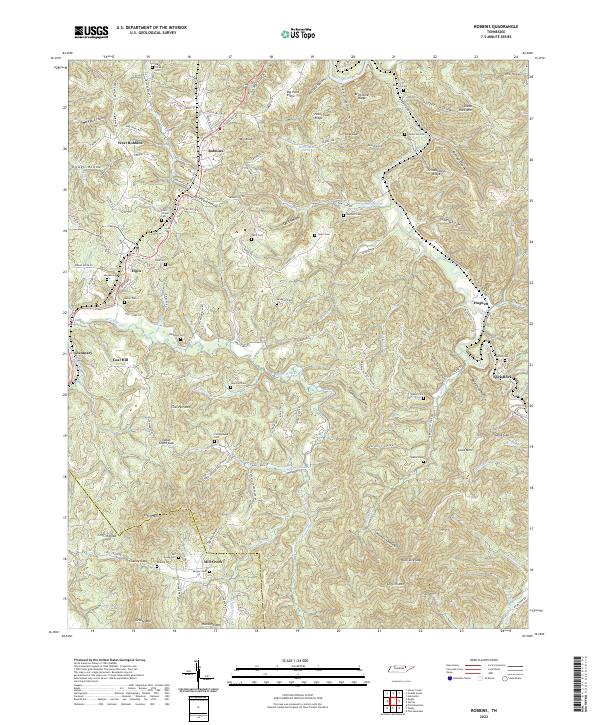 2022 Robbins2022 Print · USGSThe Tennessee mountain communities along the Southern railroad are captured here during the 2020s. Genealogists and local historians can locate dozens of remote burial sites like Lewallen and Sexton, or trace historical industry at Coal Hill and Brickyard Hollow.
End of results
Showing maps 1-18 of 18
Top cities of Morgan County
Frequently asked questions
- What are the different types of historical maps available for Morgan County?
- What is the oldest map of Morgan County?
- Where can I purchase historical maps of Morgan County for my home or office?
- Where can I download high-res historical maps of Morgan County?
- Are there historical topographic maps available for Morgan County?
- Is there historical aerial imagery available for Morgan County?
- Where are historical maps of Morgan County sourced from?