Old Maps of Oneida, Tennessee for Academic Research
Study the evolution of Oneida with 37 high-resolution historic maps. Whether you're teaching, researching, or modeling changes in land use, these maps provide essential visual documentation of urban, environmental, and geographic change.
- Analyze long-term change: Track patterns in development, transportation, and natural features.
- Ideal for environmental or urban studies: Support academic projects with primary historical map data.
- Use in the classroom or lab: Educators and researchers rely on these maps to bring historical context to life.
These maps are a powerful tool for teaching, research, and visualizing how Oneida has changed over the decades.
Oneida, TN maps
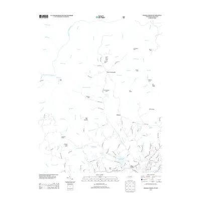
(37)- 1890 Map of Williamsburg
 1890 Williamsburg1890 Print · USGSThe Kentucky and Tennessee borderlands come alive in the late nineteenth century as the coal industry and railroads expand. Genealogists can trace family roots in Williamsburgh or locate early industrial sites like Beaver Mines and Steels Mill.2 unique versions available
 - 1893 Map of Briceville
 1893 Briceville1893 Print · USGSThe northern Tennessee coalfields and valleys come to life in the 1890s, when mining and rail were transforming the ridges of the Cumberland. Local historians can trace the paths of the Knoxville and Ohio R. R. and early settlements like Jacksboro, Coal Creek, and Oliver Springs.
 - 1894 Map of Williamsburg
 1894 Williamsburg1894 Print · USGSThe Cumberland River valley and the Kentucky-Tennessee borderlands are captured here during the late nineteenth-century coal and rail expansion. Researchers can trace early industrial sites like Beaver Mines and Kensee Coal Mine or locate family roots in Whitley and Chitwood.5 unique versions available
 - 1895 Map of Wartburg
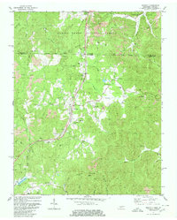
 1895 Wartburg1895 Print · USGSThe Cumberland Plateau of the late nineteenth century comes to life through this record of high-country towns and rivers. Genealogists can trace early homesteads and rail stops from Oneida down to Wartburg, including the distinct colonies at Rugby and Allardt.
 - 1895 Map of Briceville
 1895 Briceville1895 Print · USGSThe Cumberland Mountains and Powell Valley met a rapidly expanding railroad network in the late nineteenth century. Trace early industrial footprints and family-named hollows from Briceville and Clinton to the coal-rich slopes of Big Mountain.
 - 1896 Map of Wartburg
 1896 Wartburg1896 Print · USGSThe Cumberland Plateau in the late nineteenth century is captured here as railroads began to transform the mountain economy. Trace the development of utopian Rugby, the county seat at Wartburg, and remote crossings like Island Ford or Big Lick Gap.6 unique versions available
 - 1896 Map of Briceville
 1896 Briceville1896 Print · USGSEast Tennessee's coal and rail corridors are captured here in the late nineteenth century as the industrial landscape of the Cumberland Plateau matured. Researchers can trace early family homesteads and transport hubs through Briceville, Clinton, and the Southern RR line.6 unique versions available
 - 1934 Map of Barthell
 1934 Barthell1934 Print · USGSMcCreary County during the late 1920s reveals a landscape of industrial outposts and river-bound settlements at the edge of the Tennessee line. Researchers can trace the Kentucky and Tennessee Railway corridor or find family roots at Kidds Crossing, Cooperative, and Laurel Hill Ch.
 - 1952 Map of Helenwood, 1953 Print
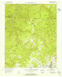
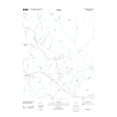
 1952 Helenwood1953 Print · USGSThe Cumberland Plateau in the early fifties shows a rugged landscape shaped by the New River and the coal industry. Genealogists can trace family names through dozens of sites like the Pike Cem, Tunnel Hill Sch, and Mountain View.4 unique versions available
 - 1953 Map of Winfield, 1954 Print
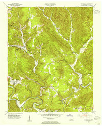
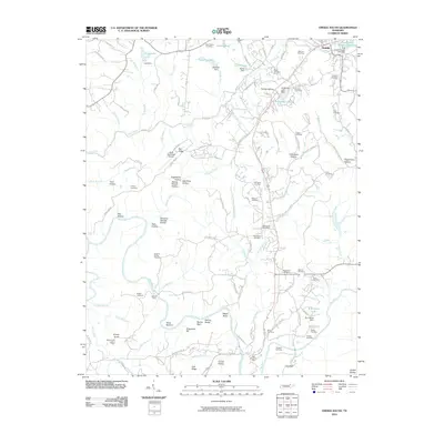
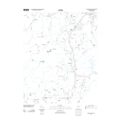
 1953 Winfield1954 Print · USGSThe Tennessee-Kentucky border comes alive in the mid-1950s, centered on the railroad hub of Winfield and the surrounding timberlands. Genealogists can trace family landmarks like Chitwood Cem, Isham, and rural schoolhouses such as Upper Marsh Creek Sch.2 unique versions available
 - 1953 Map of Huntsville, 1955 Print
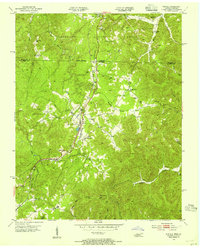
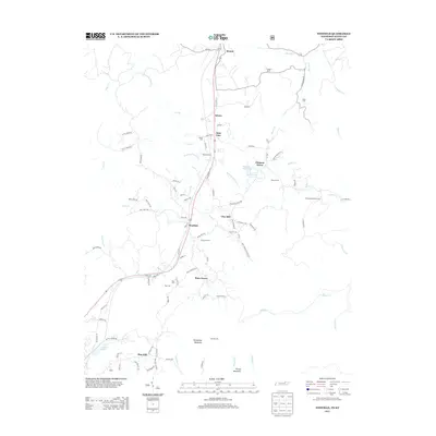
 1953 Huntsville1955 Print · USGSScott County entered the mid-1950s as a landscape of deep valleys and coal mining between the New River and Privet Mountain. Researchers can trace the era's rural infrastructure through Huntsville High Sch, Capitol Hill Sch, and the winding Tennessee railroad line.4 unique versions available
 - 1955 Map of Oneida North, 1956 Print
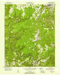
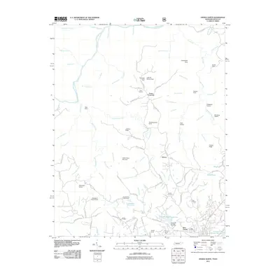
 1955 Oneida North1956 Print · USGSScott County and the Kentucky borderlands come alive in the mid-fifties, showing the rail and ridge life of the plateau. Researchers can trace family history through sites like Atomic Sch, Grave Hill Cem, and the industry at the Strip Mine.4 unique versions available
 - 1956 Map of Corbin, 1966 Print
 1956 Corbin1966 Print · USGSThe Kentucky and Tennessee borderlands are captured here in the mid-fifties, showing the region's shift toward modern interstate travel and reservoir development. Genealogists and historians can trace old community lines near Albany and Monticello or locate early rail junctions along the Southern and Tennessee Central lines.3 unique versions available
 - 1958 Map of Corbin
 1958 Corbin1958 Print · USGSThe Upper Cumberland borderlands appear in the late 1950s as massive reservoirs and early atomic-era growth reshape the region. Trace family roots and vanished landmarks near Lake Cumberland, Oak Ridge, and the Cumberland National Forest.
 - 1979 Map of Oakridge, 1980 Print
 1979 Oakridge1980 Print · USGSThe eastern Tennessee highlands are captured here in the late 1970s, showcasing a landscape of coal mining and mountain conservation. Genealogists and researchers can locate family landmarks such as Potter Cem, Sunbright Sch, and the historic settlement of Rugby.
 - 1980 Map of Winfield
 1980 Winfield1980 Print · USGSThe borderlands of Tennessee and Kentucky are captured here in the late twentieth century as the railroad and mining industries shaped the local economy. Researchers can trace family history through dozens of rural landmarks, from Chitwood Cem and Isham Cem to the local congregations at Second Bethlehem Ch.2 unique versions available
 - 1981 Map of Corbin, 1984 Print
 1981 Corbin1984 Print · USGSThe Kentucky and Tennessee borderlands in the early eighties were characterized by coal towns and deep mountain ridges. Trace family history or rail routes through Stearns, Williamsburg, and the mining settlements near Jellico Mountain along the L & N RR.
 - 2010 Map of Oneida South, 2010 Print
 2010 Oneida South2010 Print · USGSCovers Oneida, including Huntsville, High Point, and other nearby areas
 - 2010 Map of Huntsville, 2010 Print
 2010 Huntsville2010 Print · USGSCovers Oneida, including Huntsville, Winona, and other nearby areas
 - 2010 Map of Winfield, 2010 Print
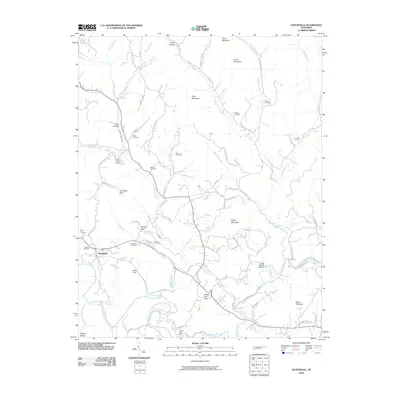
 2010 Winfield2010 Print · USGSCovers Oneida, including Winfield, Isham, and other nearby areas
 - 2011 Map of Oneida North, 2011 Print
 2011 Oneida North2011 Print · USGSCovers Oneida, including Foster Crossroads, Roberta, and other nearby areas
 - 2013 Map of Winfield, 2013 Print
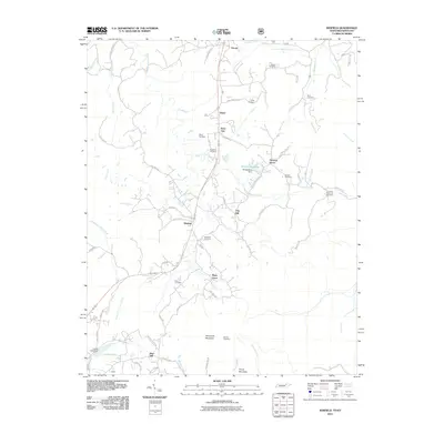
 2013 Winfield2013 Print · USGSCovers Oneida, including Winfield, Isham, and other nearby areas
 - 2013 Map of Oneida South, 2013 Print
 2013 Oneida South2013 Print · USGSCovers Oneida, including Huntsville, High Point, and other nearby areas
 - 2013 Map of Huntsville, 2013 Print
 2013 Huntsville2013 Print · USGSCovers Oneida, including Huntsville, Winona, and other nearby areas
 - 2013 Map of Oneida North, 2013 Print
 2013 Oneida North2013 Print · USGSCovers Oneida, including Foster Crossroads, Roberta, and other nearby areas
Showing maps 1-25 of 37
Top cities near Oneida
Top neighborhoods of Oneida
Frequently asked questions
- What are the different types of historical maps available for Oneida?
- What is the oldest map of Oneida?
- Where can I purchase historical maps of Oneida for my home or office?
- Where can I download high-res historical maps of Oneida?
- Are there historical topographic maps available for Oneida?
- Is there historical aerial imagery available for Oneida?
- Where are historical maps of Oneida sourced from?