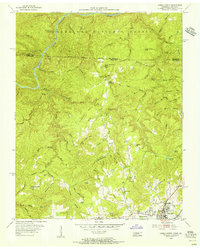
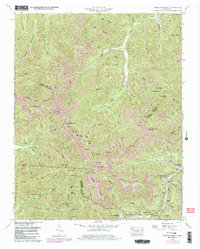
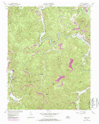
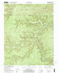
1955 Map of Oneida North
USGS Topo · Published 1956This historical map portrays the area of Oneida North in 1955, primarily covering Scott County as well as portions of Scott County and Kentucky. Featuring a scale of 1:24000, this map provides a highly detailed snapshot of the terrain, roads, buildings, counties, and historical landmarks in the Oneida North region at the time. Published in 1956, it is one of 4 known editions of this map due to revisions or reprints.
Find a feature on this map
96 named features on this map. Tap any name to fly to it.
Don’t see what you’re looking for? This feature index may not catch every label — zoom into the map to look around manually.
Map Details
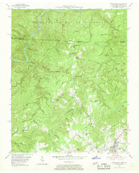
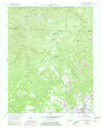
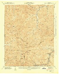
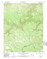
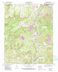
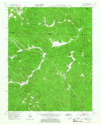
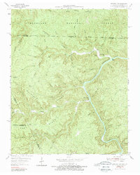
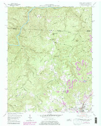
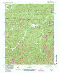
Editions of this 1955 Oneida North Map
4 editions found
Historical Maps of Oneida Through Time
14 maps found

1935 Mages
Scott County, TN

1935 Moggasin
Scott County, TN

1936 Hogbell Gap
Scott County, TN
1946 Fork Mountain
Scott County, TN
1952 Fork Mountain
Scott County, TN
1952 Honey Creek
Scott County, TN
1952 Oneida South
Scott County, TN
1953 Ketchen
Scott County, TN
1954 Norma
Scott County, TN
1955 Barthell SW
Scott County, TN
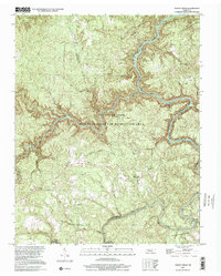
1955 Oneida North
Scott County, TN
1980 Ketchen
Scott County, TN
2000 Barthell SW
Scott County, TN
2000 Honey Creek
Scott County, TN