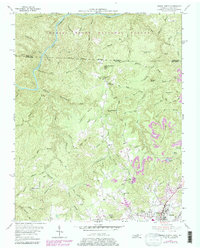
1955 Map of Oneida North
USGS Topo · Published 1979About this map
The Cumberland River and its South Fork carve deep drainage patterns through the northern Tennessee borderlands, where the Daniel Boone National Forest meets the industrial reach of the Southern railroad. The landscape is a study in mid-century transition, where traditional community centers like Crossroads and Foster Crossroads coexist with the expanding extractive footprint of numerous Strip Mines across Phillips Ridge. Local life is anchored by family-named institutions and landmarks, including the Atomic Sch, Williams Creek Sch, and Pine Creek Ch. Genealogists will find many rural burial sites such as Burchfield Sch Cem and Litton Cem, while the rugged relief is defined by prominent peaks like Cottonpatch Knob and Smith Knob.
Find a feature on this map
91 named features on this map. Tap any name to fly to it.
Don’t see what you’re looking for? This feature index may not catch every label — zoom into the map to look around manually.
Map Details
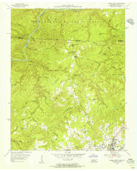
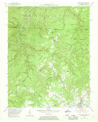
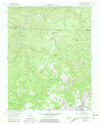
Editions of this 1955 Oneida North Map
4 editions found
Other maps of this area

1890 · Williamsburg
USGS Topo · 1:125,000

1893 · Briceville
USGS Topo · 1:125,000

1894 · Williamsburg
USGS Topo · 1:125,000

1895 · Wartburg
USGS Topo · 1:125,000

1895 · Briceville
USGS Topo · 1:125,000

1896 · Wartburg
USGS Topo · 1:125,000

1896 · Briceville
USGS Topo · 1:125,000

1934 · Barthell
USGS Topo · 1:62,500

1952 · Helenwood
USGS Topo · 1:24,000

1952 · Honey Creek
USGS Topo · 1:24,000