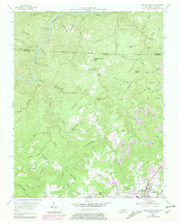
1955 Map of Oneida North
USGS Topo · Published 1979About this map
Chestnut Ridge and Phillips Ridge dominate this rugged section of the Cumberland Plateau, where the land falls away into the deep drainage of the Cumberland River at the northern boundary. The southern portion of the map centers on the growth of Oneida, showing the Southern railroad line and the County Hospital. Local life is anchored by family-named landmarks and rural institutions, including Grave Hill Church and the curiously named Atomic School.
Find a feature on this map
89 named features on this map. Tap any name to fly to it.
Don’t see what you’re looking for? This feature index may not catch every label — zoom into the map to look around manually.
Map Details
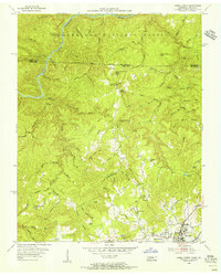
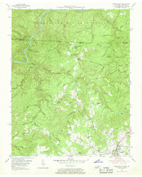
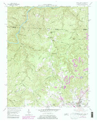
Editions of this 1955 Oneida North Map
4 editions found
Other maps of this area

1890 · Williamsburg
USGS Topo · 1:125,000

1893 · Briceville
USGS Topo · 1:125,000

1894 · Williamsburg
USGS Topo · 1:125,000

1895 · Wartburg
USGS Topo · 1:125,000

1895 · Briceville
USGS Topo · 1:125,000

1896 · Wartburg
USGS Topo · 1:125,000

1896 · Briceville
USGS Topo · 1:125,000

1934 · Barthell
USGS Topo · 1:62,500

1952 · Helenwood
USGS Topo · 1:24,000

1952 · Honey Creek
USGS Topo · 1:24,000