2000s (21st Century) Maps of Shelby County, Tennessee
Explore 135 historic maps of Shelby County from the 2000s (21st Century). These maps offer a rare glimpse into what life looked like during the 2000s — showing old roads, neighborhoods, homes, and landmarks that have changed or disappeared over time.
Whether you're researching your family's past, planning a metal detecting trip, or studying how Shelby County's landscape evolved across the 2000s, these high-resolution maps are a powerful tool for exploring the history of this region.
- Focus on a specific era: All maps on this page are from the 2000s, giving you a focused view of this time period.
- See what’s changed: Compare century-old streets, trails, and buildings to today's modern landscape using overlays and satellite layers.
- Research with precision: Use these maps for genealogy, historical research, land use analysis, or educational projects.
- View, download, or print: Maps are fully viewable online in high resolution, and can be downloaded or printed for your own records.
Start exploring Shelby County's history through authentic maps from the 2000s. This is your window into the past.
Shelby County, TN maps
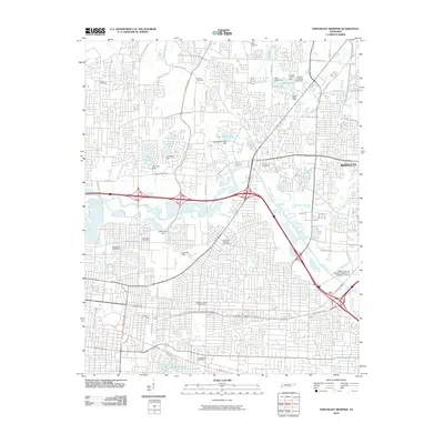
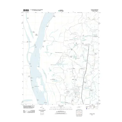
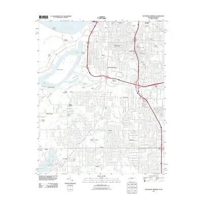
(135)- 2010 Map of Eads, 2010 Print
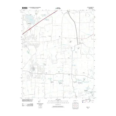 2010 Eads2010 Print · USGSCovers Shelby County, including Memphis, Bartlett, and other nearby areas
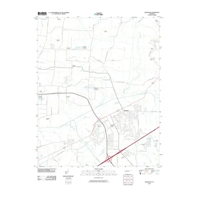
 - 2010 Map of Millington, 2010 Print
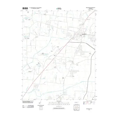 2010 Millington2010 Print · USGSCovers Shelby County, including Memphis, Bartlett, and other nearby areas
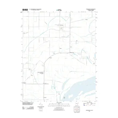
 - 2010 Map of Germantown, 2010 Print
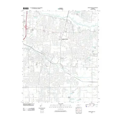 2010 Germantown2010 Print · USGSCovers Shelby County, including Memphis, Germantown, and other nearby areas
 - 2010 Map of Brunswick, 2010 Print
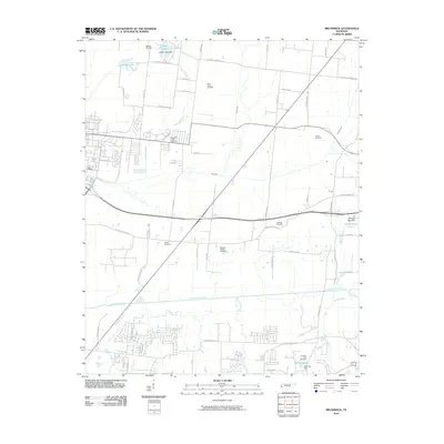 2010 Brunswick2010 Print · USGSCovers Shelby County, including Bartlett, Lakeland, and other nearby areas
 - 2010 Map of Southeast Memphis, 2010 Print
 2010 Southeast Memphis2010 Print · USGSCovers Shelby County, including Memphis, Buntyn, and other nearby areas
 - 2010 Map of Brighton, 2010 Print
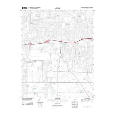
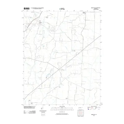 2010 Brighton2010 Print · USGSCovers Shelby County, including Atoka, Brighton, and other nearby areas
 - 2010 Map of Munford, 2010 Print
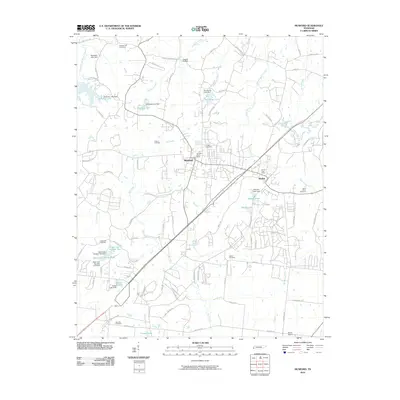 2010 Munford2010 Print · USGSCovers Shelby County, including Atoka, Munford, and other nearby areas
 - 2010 Map of Drummonds, 2010 Print
 2010 Drummonds2010 Print · USGSCovers Shelby County, including Dixonville, Quito, and other nearby areas
 - 2010 Map of Northeast Memphis, 2010 Print
 2010 Northeast Memphis2010 Print · USGSCovers Shelby County, including Memphis, Bartlett, and other nearby areas
 - 2010 Map of Arlington, 2010 Print
 2010 Arlington2010 Print · USGSCovers Shelby County, including Lakeland, Arlington, and other nearby areas
 - 2010 Map of Byhalia NW, 2010 Print
 2010 Byhalia NW2010 Print · USGSCovers Shelby County, including Piperton, Byhalia, and other nearby areas
 - 2010 Map of Horn Lake, 2010 Print
 2010 Horn Lake2010 Print · USGSCovers Shelby County, including Memphis, Southaven, and other nearby areas
 - 2010 Map of Olive Branch, 2010 Print
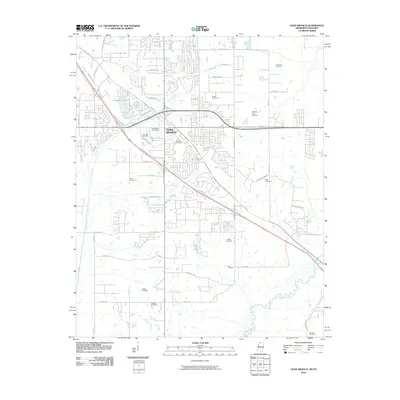 2010 Olive Branch2010 Print · USGSCovers Shelby County, including Memphis, Olive Branch, and other nearby areas
 - 2010 Map of Ellendale, 2010 Print
 2010 Ellendale2010 Print · USGSCovers Shelby County, including Memphis, Bartlett, and other nearby areas
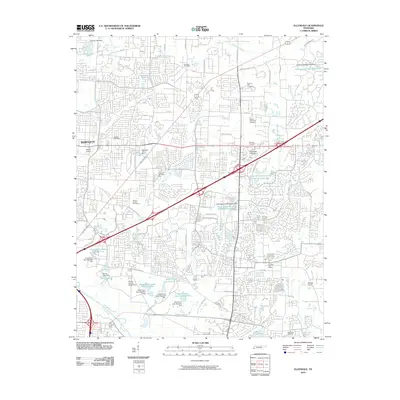
 - 2010 Map of Collierville, 2010 Print
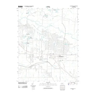 2010 Collierville2010 Print · USGSCovers Shelby County, including Collierville, Germantown, and other nearby areas
 - 2010 Map of Pleasant Hill, 2010 Print
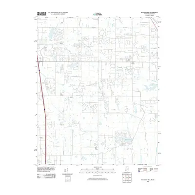 2010 Pleasant Hill2010 Print · USGSCovers Shelby County, including Memphis, Southaven, and other nearby areas
 - 2011 Map of Locke, 2011 Print
 2011 Locke2011 Print · USGSCovers Shelby County, including Memphis, Ramsey, and other nearby areas
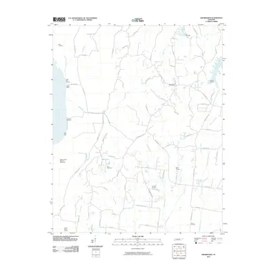
 - 2011 Map of Edmondson, 2011 Print
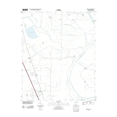
 2011 Edmondson2011 Print · USGSCovers Shelby County, including Memphis, Edmondson, and other nearby areas
 - 2011 Map of West Memphis, 2011 Print
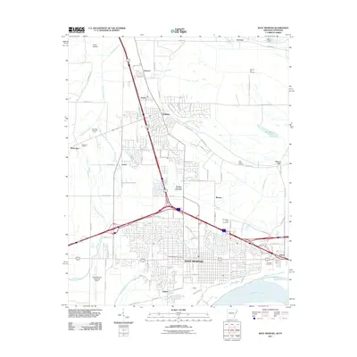 2011 West Memphis2011 Print · USGSCovers Shelby County, including Memphis, West Memphis, and other nearby areas
 - 2011 Map of Jericho, 2011 Print
 2011 Jericho2011 Print · USGSCovers Shelby County, including Marion, Clarkedale, and other nearby areas
 - 2011 Map of Pecan Point, 2011 Print
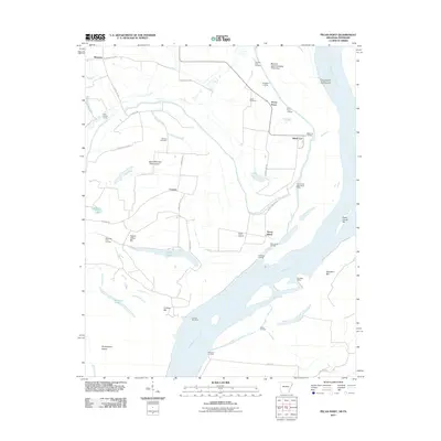 2011 Pecan Point2011 Print · USGSCovers Shelby County, including Deans Island, Black Cat, and other nearby areas
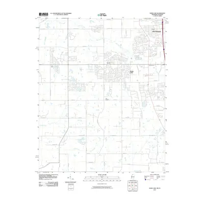
 - 2011 Map of Lake Cormorant, 2011 Print
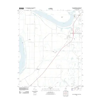 2011 Lake Cormorant2011 Print · USGSCovers Shelby County, including Memphis, Walls, and other nearby areas
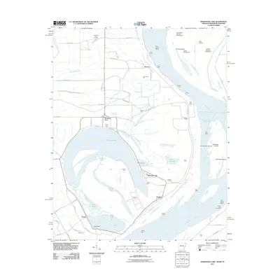
 - 2011 Map of Fletcher Lake, 2011 Print
 2011 Fletcher Lake2011 Print · USGSCovers Shelby County, including Memphis, West Memphis, and other nearby areas
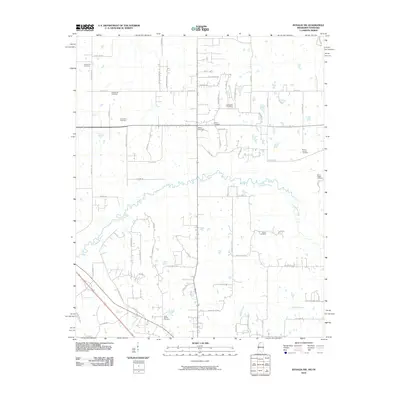
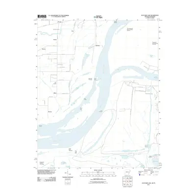
 - 2011 Map of Horseshoe Lake, 2011 Print
 2011 Horseshoe Lake2011 Print · USGSCovers Shelby County, including Memphis, Horseshoe Lake, and other nearby areas
 - 2011 Map of Southwest Memphis, 2011 Print
 2011 Southwest Memphis2011 Print · USGSCovers Shelby County, including Memphis, Bunker Hill, and other nearby areas
Showing maps 1-25 of 135
Top cities of Shelby County
- Memphis historical maps
- Bartlett historical maps
- Collierville historical maps
- Germantown historical maps
- Lakeland historical maps
- Millington historical maps
See more
Frequently asked questions
- What are the different types of historical maps available for Shelby County?
- What is the oldest map of Shelby County?
- Where can I purchase historical maps of Shelby County for my home or office?
- Where can I download high-res historical maps of Shelby County?
- Are there historical topographic maps available for Shelby County?
- Is there historical aerial imagery available for Shelby County?
- Where are historical maps of Shelby County sourced from?