2020s Maps of Shelby County, Tennessee
Explore 37 historic maps of Shelby County from the 2020s. These maps offer a rare glimpse into what life looked like during the 2020s — showing old roads, neighborhoods, homes, and landmarks that have changed or disappeared over time.
Whether you're researching your family's past, planning a metal detecting trip, or studying how Shelby County's landscape evolved across the 2020s, these high-resolution maps are a powerful tool for exploring the history of this region.
- Focus on a specific era: All maps on this page are from the 2020s, giving you a focused view of this time period.
- See what’s changed: Compare century-old streets, trails, and buildings to today's modern landscape using overlays and satellite layers.
- Research with precision: Use these maps for genealogy, historical research, land use analysis, or educational projects.
- View, download, or print: Maps are fully viewable online in high resolution, and can be downloaded or printed for your own records.
Start exploring Shelby County's history through authentic maps from the 2020s. This is your window into the past.
Shelby County, TN maps
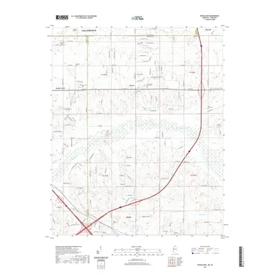
(37)- 2020 Map of Edmondson, 2020 Print
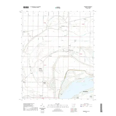 2020 Edmondson2020 Print · USGSCovers Shelby County, including Memphis, Edmondson, and other nearby areas
 - 2020 Map of West Memphis, 2020 Print
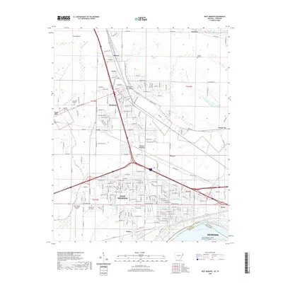 2020 West Memphis2020 Print · USGSCovers Shelby County, including Memphis, West Memphis, and other nearby areas
 - 2020 Map of Jericho, 2020 Print
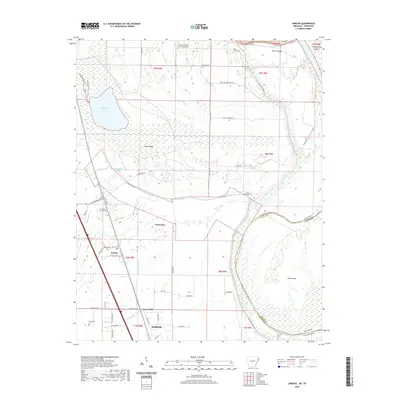 2020 Jericho2020 Print · USGSCovers Shelby County, including Marion, Clarkedale, and other nearby areas
 - 2020 Map of Fletcher Lake, 2020 Print
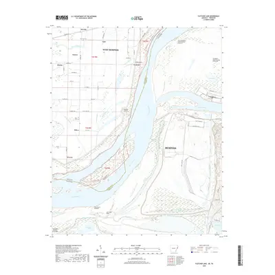 2020 Fletcher Lake2020 Print · USGSCovers Shelby County, including Memphis, West Memphis, and other nearby areas
 - 2020 Map of Pecan Point, 2020 Print
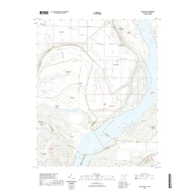 2020 Pecan Point2020 Print · USGSCovers Shelby County, including Deans Island, Black Cat, and other nearby areas
 - 2020 Map of Horseshoe Lake, 2020 Print
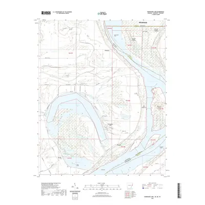 2020 Horseshoe Lake2020 Print · USGSCovers Shelby County, including Memphis, Horseshoe Lake, and other nearby areas
 - 2020 Map of Lake Cormorant, 2020 Print
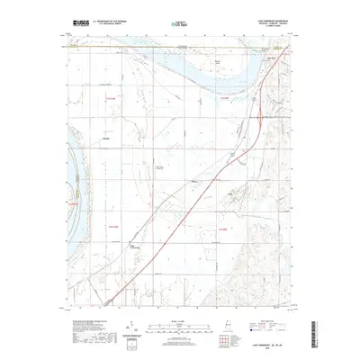 2020 Lake Cormorant2020 Print · USGSCovers Shelby County, including Memphis, Walls, and other nearby areas
 - 2020 Map of Horn Lake, 2020 Print
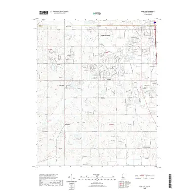 2020 Horn Lake2020 Print · USGSCovers Shelby County, including Memphis, Southaven, and other nearby areas
 - 2021 Map of Byhalia NW, 2021 Print
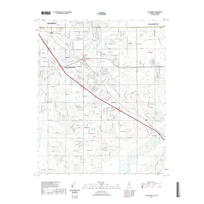
 2021 Byhalia NW2021 Print · USGSCovers Shelby County, including Piperton, Byhalia, and other nearby areas
 - 2021 Map of Pleasant Hill, 2021 Print
 2021 Pleasant Hill2021 Print · USGSCovers Shelby County, including Memphis, Southaven, and other nearby areas
 - 2021 Map of Olive Branch, 2021 Print
 2021 Olive Branch2021 Print · USGSCovers Shelby County, including Memphis, Olive Branch, and other nearby areas
 - 2022 Map of Locke, 2022 Print
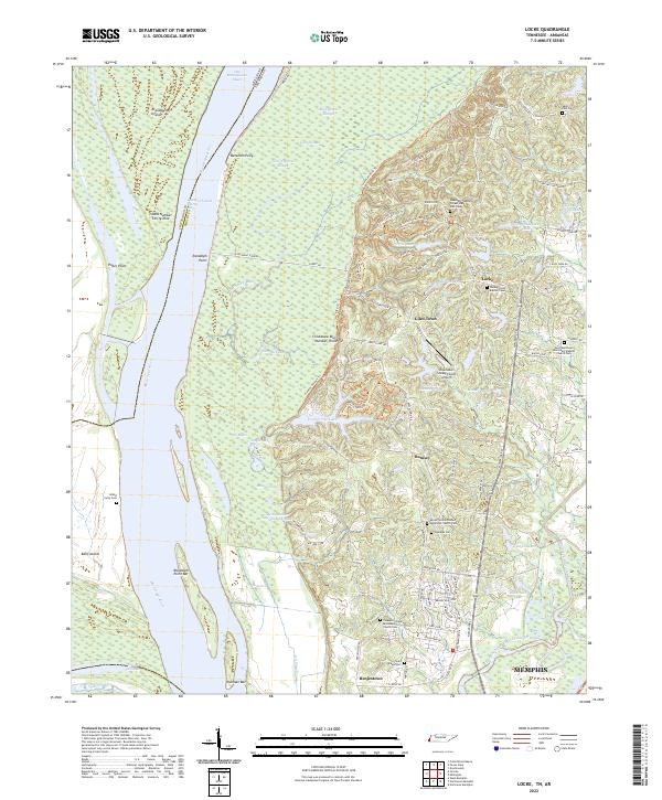 2022 Locke2022 Print · USGSThe Mississippi River bottoms north of Memphis are revealed here in the early twenty-first century, where the river's path dictates the border between Tennessee and Arkansas. Genealogists can trace family sites near Giles Town or locate rural burials at Oaklawn Cemetery and Island Forty Cemetery.
 - 2022 Map of Munford, 2022 Print
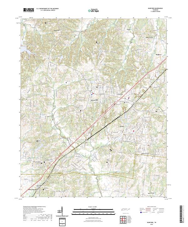 2022 Munford2022 Print · USGSThe growing communities of Munford and Atoka are captured here in the early twenty-first century, showcasing a landscape where modern development meets deep-seated family history. Researchers can trace dozens of legacy sites, from the Old Craig Graveyard and Coward Family Cem to the local congregations at Kerrville Presbyterian Cem.
 - 2022 Map of Ellendale, 2022 Print
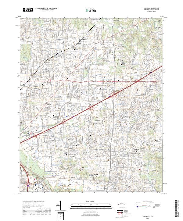 2022 Ellendale2022 Print · USGSThe Memphis suburbs of Bartlett and Cordova are shown in detail as they appeared in 2022. Genealogists can locate numerous local burial sites like Major Taylor Cem, Fullview Church Cem, and Allen-Yates Cem.
 - 2022 Map of Brighton, 2022 Print
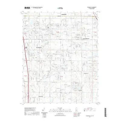
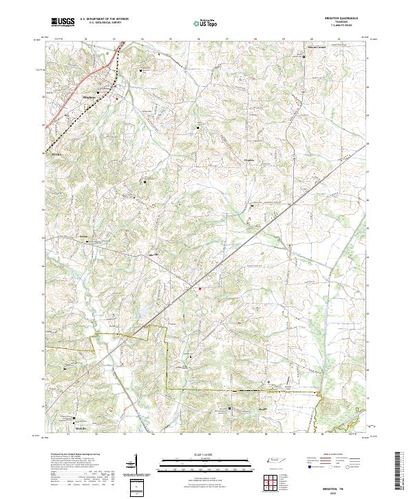 2022 Brighton2022 Print · USGSThe outskirts of Tipton and Shelby counties are shown here in the early twenty-first century, featuring a landscape defined by historic family settlements. Genealogists can trace roots through numerous local landmarks, from the Banyan Payne Family Cem to the rural centers of Idaville and Mudville.
 - 2022 Map of Arlington, 2022 Print
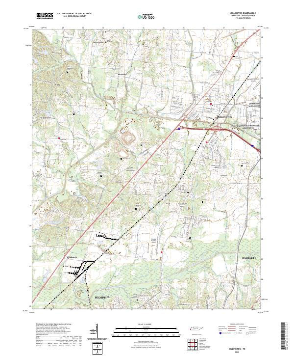
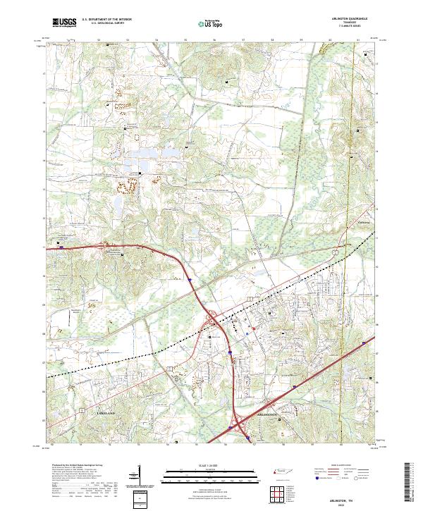 2022 Arlington2022 Print · USGSArlington and the northeast corner of Shelby County appear in this recent survey, showing a landscape defined by the Loosahatchie River Canal and the CSX railroad. Genealogists can trace deep local roots through landmarks like Gratitude Church Cem, Needham's Airport, and the Arlington Cem.
 - 2022 Map of Drummonds, 2022 Print
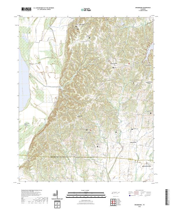 2022 Drummonds2022 Print · USGSTipton County upland and river bottomlands come alive in this recent survey of western Tennessee. Genealogists can trace family heritage at the Byrd Burial Ground, Poplar Grove Cem, and Saint Paul Chapel Cem near Drummonds.
 - 2022 Map of Southeast Memphis, 2022 Print
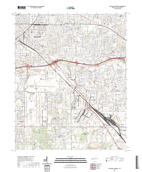 2022 Southeast Memphis2022 Print · USGSSoutheast Memphis and Shelby County are documented here in the early 2020s, showing the dense intersection of modern logistics and early settlement history. Researchers can find numerous small family burial sites like Deadrick Family Cem alongside the sprawling Memphis International Airport and BNSF Railway.
 - 2022 Map of Northwest Memphis, 2022 Print
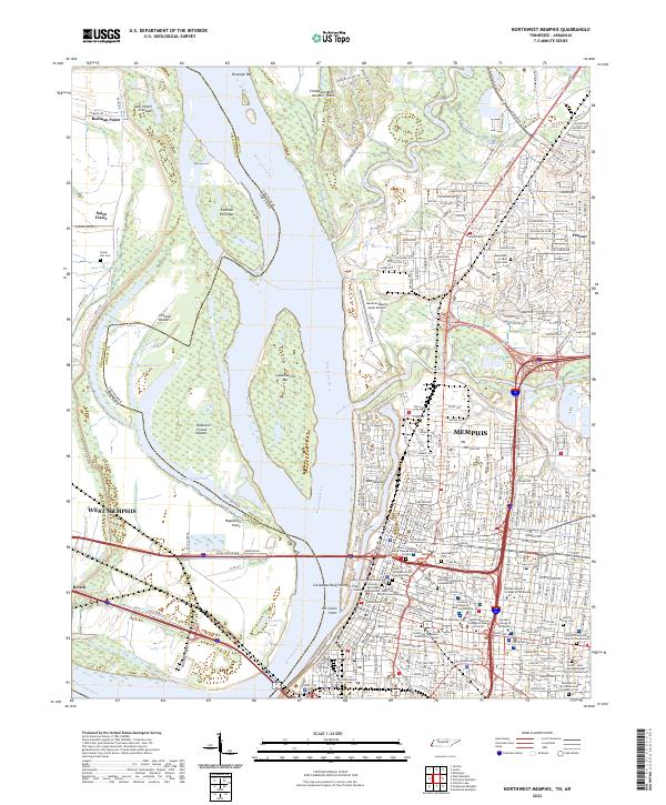 2022 Northwest Memphis2022 Print · USGSThe riverfront of Memphis and West Memphis is captured here as it appeared in the early 2020s, revealing a landscape of high bluffs and complex waterways. Researchers can trace local burial sites and medical campuses from the Monastery of Saint Clare Cem to the College of Pharmacy.
 - 2022 Map of Southwest Memphis, 2022 Print
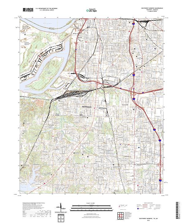 2022 Southwest Memphis2022 Print · USGSSouth Memphis and the Mississippi riverfront are captured here in the early twenty-first century. Genealogists and historians can locate Elmwood Cem, LeMoyne - Owen College, and the iconic Graceland Mansion Memorial Garden.
 - 2022 Map of Eads, 2022 Print
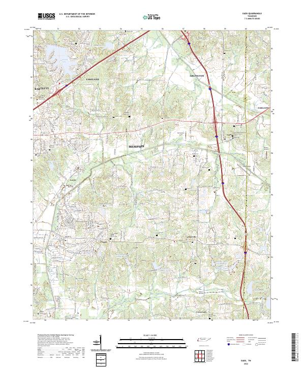 2022 Eads2022 Print · USGSEastern Shelby County at the start of the 2020s shows the meeting point of suburban growth and traditional Tennessee farm country. Genealogists can trace family legacies across numerous sites like Hooker Family Cem, Eads Cem, and Saint Philip Episcopal Church.
 - 2022 Map of Collierville, 2022 Print
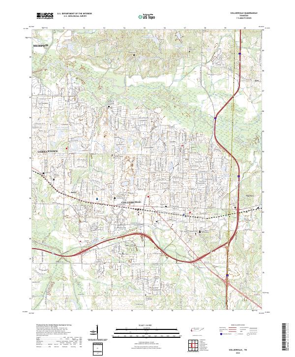 2022 Collierville2022 Print · USGSThe eastern Shelby County suburbs are documented here during a period of rapid residential growth. Family historians can trace local heritage through sites like Old Salem Presbyterian Church Cem and the Bedford Plantation Cem.
 - 2022 Map of Millington, 2022 Print
 2022 Millington2022 Print · USGSShelby County north of Memphis appears here in the early 2020s, showing a landscape of aviation hubs and extensive drainage engineering. Researchers can trace dozens of local landmarks and burial sites, including the Ralston Family Cem, Sloanville, and the Millington/Memphis Airport.
 - 2022 Map of Northeast Memphis, 2022 Print
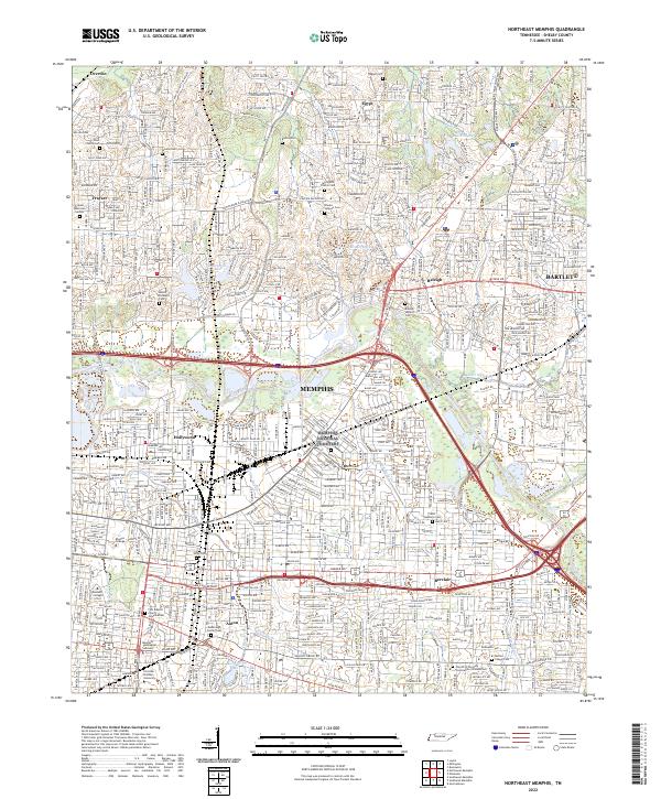 2022 Northeast Memphis2022 Print · USGSNortheast Memphis and the expanding suburbs of Bartlett and Raleigh are captured here in the early twenty-first century. Genealogists and historians can trace family plots at Raleigh Historic Cemetery and Egypt Cemetery or locate the campuses of Rhodes College and Christian Brothers University.
 - 2022 Map of Brunswick, 2022 Print
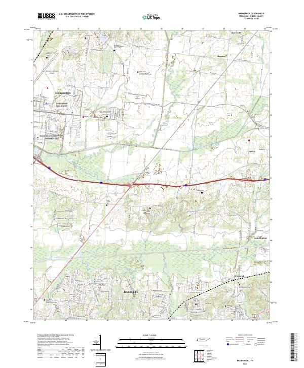 2022 Brunswick2022 Print · USGSShelby County enters a new era of growth as suburban reaches meet long-standing communities like Brunswick and Rosemark. Family historians can trace local roots at the First Settlers Cem, Noah Chapel Cem, and Gilfield Cem.
Showing maps 1-25 of 37
Top cities of Shelby County
- Memphis historical maps
- Bartlett historical maps
- Collierville historical maps
- Germantown historical maps
- Lakeland historical maps
- Millington historical maps
See more
Frequently asked questions
- What are the different types of historical maps available for Shelby County?
- What is the oldest map of Shelby County?
- Where can I purchase historical maps of Shelby County for my home or office?
- Where can I download high-res historical maps of Shelby County?
- Are there historical topographic maps available for Shelby County?
- Is there historical aerial imagery available for Shelby County?
- Where are historical maps of Shelby County sourced from?