2010s Maps of Shelby County, Tennessee
Explore 98 historic maps of Shelby County from the 2010s. These maps offer a rare glimpse into what life looked like during the 2010s — showing old roads, neighborhoods, homes, and landmarks that have changed or disappeared over time.
Whether you're researching your family's past, planning a metal detecting trip, or studying how Shelby County's landscape evolved across the 2010s, these high-resolution maps are a powerful tool for exploring the history of this region.
- Focus on a specific era: All maps on this page are from the 2010s, giving you a focused view of this time period.
- See what’s changed: Compare century-old streets, trails, and buildings to today's modern landscape using overlays and satellite layers.
- Research with precision: Use these maps for genealogy, historical research, land use analysis, or educational projects.
- View, download, or print: Maps are fully viewable online in high resolution, and can be downloaded or printed for your own records.
Start exploring Shelby County's history through authentic maps from the 2010s. This is your window into the past.
Shelby County, TN maps
(98)- 2010 Map of Eads, 2010 Print
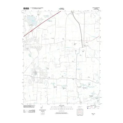 2010 Eads2010 Print · USGSShelby County near the turn of the millennium shows a landscape of growing suburbs and preserved rural spaces east of Memphis. Researchers can locate numerous family burial sites like Log Union Cemetery and Chambers Chapel Cemetery or trace the early water systems of Lakeland Lake and Herb Parsons Lake.
 - 2010 Map of Millington, 2010 Print
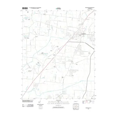 2010 Millington2010 Print · USGSMillington and northern Shelby County are shown here in 2010, at a time when suburban growth integrated with long-standing rural landmarks. Genealogists can trace family plots at Noblin and Zion Hill, while exploring landmarks like the Charles W Baker Airport.
 - 2010 Map of Germantown, 2010 Print
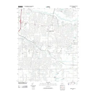 2010 Germantown2010 Print · USGSGermantown and its surrounding Shelby County suburbs are documented here in the early twenty-first century as the area transitioned into a dense residential and commercial hub. Researchers can trace established local landmarks including Germantown Cemetery, Memphis University School, and the winding course of Wolf River.
 - 2010 Map of Brunswick, 2010 Print
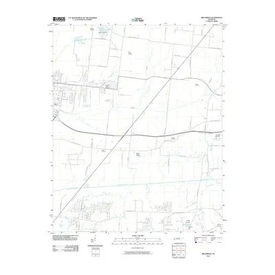 2010 Brunswick2010 Print · USGSShelby County near Bartlett maintains its rural character through the early 21st century, centered on the Loosahatchie River valley. Genealogists and historians can locate numerous burial sites like Williams Chapel Cemetery and Gildfield Cemetery among the winding country roads.
 - 2010 Map of Southeast Memphis, 2010 Print
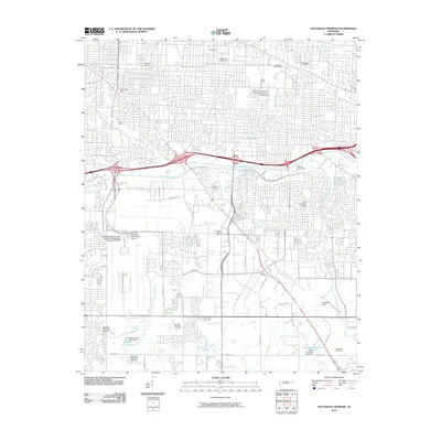 2010 Southeast Memphis2010 Print · USGSSoutheast Memphis is shown at the height of its role as a global transit hub during the first decade of the 2000s. Researchers can trace the massive footprints of the Memphis International Airport and Tennessee Yards, alongside local landmarks like Oakville Cemetery and the University of Memphis.
 - 2010 Map of Brighton, 2010 Print
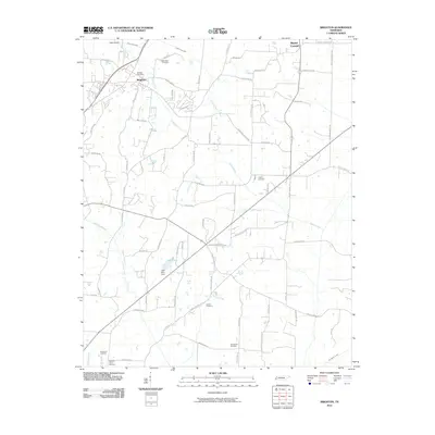 2010 Brighton2010 Print · USGSTipton County at the start of the 2010s shows a landscape of growing rural communities and essential water infrastructure. Researchers can locate numerous local burial sites like Clopton Cemetery and Rosemark Cemetery, or trace the path of the Indian Creek Canal.
 - 2010 Map of Munford, 2010 Print
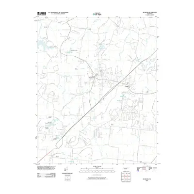 2010 Munford2010 Print · USGSMunford and Atoka are shown in detail during a period of modern growth in Tipton County. Researchers can locate numerous family burial sites such as Crigger Cemetery and Saint Johns Cemetery or trace the winding course of Big Creek.
 - 2010 Map of Drummonds, 2010 Print
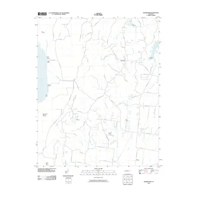 2010 Drummonds2010 Print · USGSTipton County's riverfront and rural interior are shown in detail here during the first decade of the new millennium. Researchers can find several local burial grounds like Fellowship Cemetery, the Drummonds Post Office, and river features such as Neal Landing.
 - 2010 Map of Northeast Memphis, 2010 Print
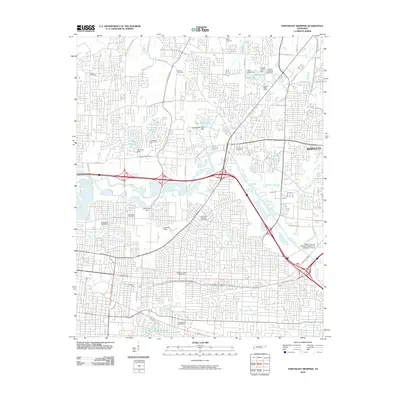 2010 Northeast Memphis2010 Print · USGSNortheastern Memphis and the suburb of Bartlett are shown here in the first decade of the millennium as urban growth meets the Wolf River corridor. Researchers can locate several historic burial sites like Memphis National Cemetery and Raleigh Cemetery or trace the industrial footprints of Hollywood Yards and Leewood Yards.
 - 2010 Map of Arlington, 2010 Print
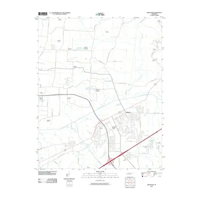 2010 Arlington2010 Print · USGSNortheastern Shelby County is seen here during a period of transition as the residential outskirts of Arlington expand near the Loosahatchie River. Genealogists can trace a remarkable number of family burial sites, from Burrow Cemetery and McCraw Cemetery to Mount Sinai Cemetery.
 - 2010 Map of Byhalia NW, 2010 Print
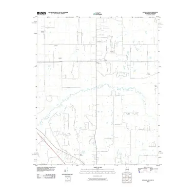 2010 Byhalia NW2010 Print · USGSSpanning the border between Mississippi and Tennessee in 2010, this area shows a landscape defined by its rural cemeteries and the winding Coldwater River. Genealogists can trace family heritage at the Shiloh Cemetery, Mount Carmel Cemetery, and Barton Cemetery.
 - 2010 Map of Horn Lake, 2010 Print
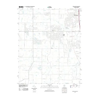 2010 Horn Lake2010 Print · USGSThe Mississippi-Tennessee borderlands appear in a period of suburban expansion during the early 2000s. Genealogists and local historians can trace the growth of Southaven and Horn Lake, or locate specific sites like New Bethlehem Cemetery and Bullfrog Corner.
 - 2010 Map of Olive Branch, 2010 Print
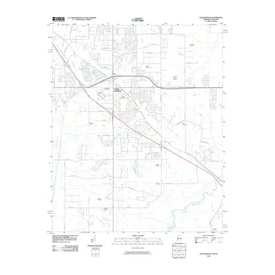 2010 Olive Branch2010 Print · USGSOlive Branch and its surrounding hillsides are shown at a peak of modern growth just south of the Tennessee border. Genealogists can locate over a dozen burial sites including Clements Cemetery, Wiggins Cemetery, and Castleberry Cemetery.
 - 2010 Map of Ellendale, 2010 Print
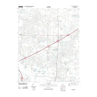 2010 Ellendale2010 Print · USGSShelby County transitions from institutional agriculture to suburban commercial hubs in the years before the 2010s. Trace the layout of the Shelby County Penal Farm or locate family plots at Toll Gate Cemetery and Memory Hill Gardens.
 - 2010 Map of Collierville, 2010 Print
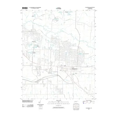 2010 Collierville2010 Print · USGSCollierville and its surrounding Shelby County landscape appear here in the first decade of the 21st century. Genealogists and local researchers can trace numerous family and community sites, from the centrally located Magnolia Cemetery to the outlying Tabernacle Cemetery.
 - 2010 Map of Pleasant Hill, 2010 Print
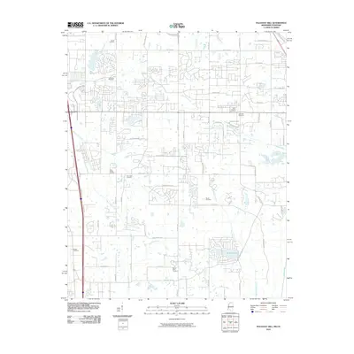 2010 Pleasant Hill2010 Print · USGSCrossing the state line between Tennessee and Mississippi, this area was undergoing rapid residential growth at the start of the decade. Genealogists can trace family heritage at Mount Olive Cemetery, Shiloh Cemetery, and New Hope Cemetery.
 - 2011 Map of Locke, 2011 Print
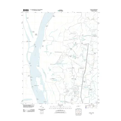 2011 Locke2011 Print · USGSThe Mississippi River bluffs north of Memphis are shown here during a period of steady suburban growth and riverfront management. Genealogists can locate several historic burial grounds like Benjestown Cemetery and trace old river landings such as Cigarette Landing.
 - 2011 Map of Edmondson, 2011 Print
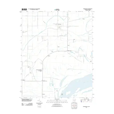 2011 Edmondson2011 Print · USGSThe Mississippi River bottomlands south of Memphis come alive in this 2011 survey, showing a landscape defined by bayous and river bends. Researchers can locate historic sites like Edmondson Cemetery, Ninetysix Landing, and the community of Anthonyville.
 - 2011 Map of West Memphis, 2011 Print
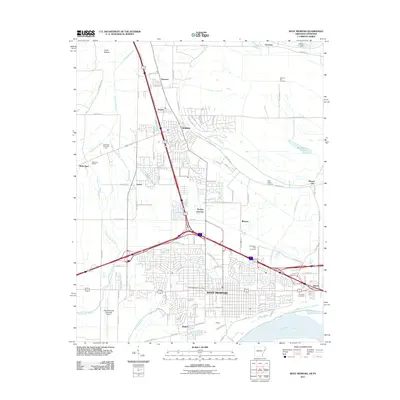 2011 West Memphis2011 Print · USGSWest Memphis and Marion are shown at a peak of modern development along the Mississippi River in the early 2010s. Trace local landmarks like the Southland Park Racetrack, the BNSF Railway lines, and the historic Mound City settlement.
 - 2011 Map of Jericho, 2011 Print
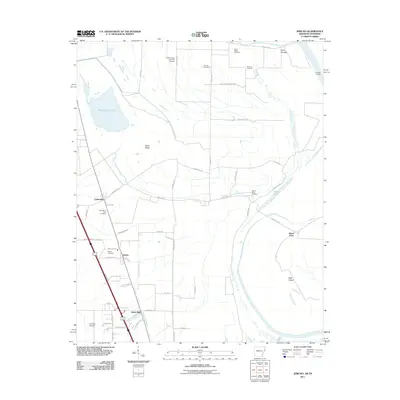 2011 Jericho2011 Print · USGSCrittenden County in the early twenty-first century remains a landscape of floodplain agriculture and river-bound settlements. Genealogists can locate several family and community landmarks, including New Mount Zion Cemetery, Malone Cemetery, and the quiet community of James Mill.
 - 2011 Map of Pecan Point, 2011 Print
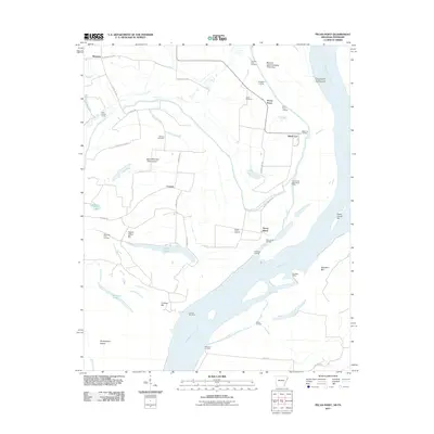 2011 Pecan Point2011 Print · USGSThe riverfront of Mississippi County is captured here just after the first decade of the new millennium. Researchers can trace the levee-protected lands of Deans Island and Pecan Point, locating family sites near Jacob Cemetery or riverfront markers like Black Cat Landing.
 - 2011 Map of Lake Cormorant, 2011 Print
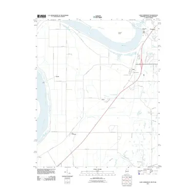 2011 Lake Cormorant2011 Print · USGSThe Mississippi Delta meets suburban expansion in the early 2000s south of Memphis. Researchers can trace historical river landings and local landmarks such as Walls Post Office, the settlement of Lake Cormorant, and the old rail corridor along W Railroad Ave.
 - 2011 Map of Fletcher Lake, 2011 Print
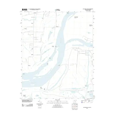 2011 Fletcher Lake2011 Print · USGSThe Mississippi River bottoms south of Memphis appear in 2011 as a landscape of shifting channels, industrial ports, and ancient history. Local researchers can trace old river landings like Biggs Landing or explore the site of Chucalissa Indian Village and Saint Johns Cemetery.
 - 2011 Map of Horseshoe Lake, 2011 Print
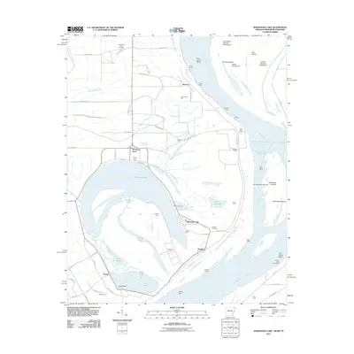 2011 Horseshoe Lake2011 Print · USGSThe oxbow of Horseshoe Lake and the winding Mississippi River define this river-bottom landscape in the early 2000s. Genealogists and researchers can trace family-named sites like Clarks Farm, Seyppel Landing, and Rodgers Cemetery.
 - 2011 Map of Southwest Memphis, 2011 Print
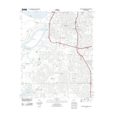 2011 Southwest Memphis2011 Print · USGSSouth Memphis at the start of the 2010s shows a landscape of heavy rail infrastructure and historic memorial gardens along the Mississippi. Researchers can trace family sites at Elmwood Cemetery or locate industrial landmarks like Johnston Yards and the Southland Mall.
Showing maps 1-25 of 98
Top cities of Shelby County
- Memphis historical maps
- Bartlett historical maps
- Collierville historical maps
- Germantown historical maps
- Lakeland historical maps
- Millington historical maps
See more
Frequently asked questions
- What are the different types of historical maps available for Shelby County?
- What is the oldest map of Shelby County?
- Where can I purchase historical maps of Shelby County for my home or office?
- Where can I download high-res historical maps of Shelby County?
- Are there historical topographic maps available for Shelby County?
- Is there historical aerial imagery available for Shelby County?
- Where are historical maps of Shelby County sourced from?