2020s Maps of Tipton County, Tennessee
Explore 24 historic maps of Tipton County from the 2020s. These maps offer a rare glimpse into what life looked like during the 2020s — showing old roads, neighborhoods, homes, and landmarks that have changed or disappeared over time.
Whether you're researching your family's past, planning a metal detecting trip, or studying how Tipton County's landscape evolved across the 2020s, these high-resolution maps are a powerful tool for exploring the history of this region.
- Focus on a specific era: All maps on this page are from the 2020s, giving you a focused view of this time period.
- See what’s changed: Compare century-old streets, trails, and buildings to today's modern landscape using overlays and satellite layers.
- Research with precision: Use these maps for genealogy, historical research, land use analysis, or educational projects.
- View, download, or print: Maps are fully viewable online in high resolution, and can be downloaded or printed for your own records.
Start exploring Tipton County's history through authentic maps from the 2020s. This is your window into the past.
Tipton County, TN maps
(24)- 2020 Map of Nodena, 2020 Print
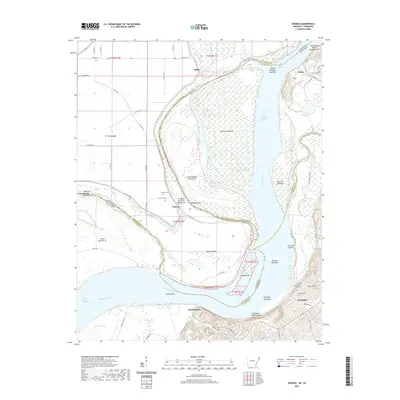 2020 Nodena2020 Print · USGSThe riverfronts of Lauderdale and Tipton Counties are captured here during a time of modern rural life along the Mississippi. Genealogists can locate family sites at Old Randolph Cem and Nodena Cem, or trace the winding course of the Hatchie River.
 - 2020 Map of Jericho, 2020 Print
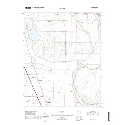 2020 Jericho2020 Print · USGSCrittenden County at the Arkansas-Tennessee border reveals a landscape shaped by the Mississippi's path and a network of small farming communities. Researchers can trace family sites at Malone Cem and New Mount Zion Cem or explore the area around Wapanocca Lake.
 - 2020 Map of Frenchmans Bayou, 2020 Print
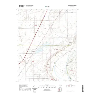 2020 Frenchmans Bayou2020 Print · USGSThe riverfront communities of Mississippi and Crittenden counties are shown here as they appeared in the early 2020s. Researchers can trace local landmarks like Rupe Cem or explore the shifting geography of Devils Elbow and Meneshea Lake.
 - 2020 Map of Pecan Point, 2020 Print
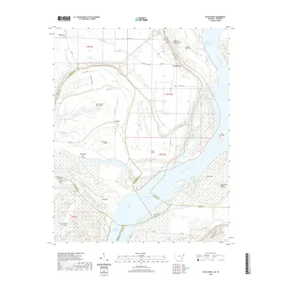 2020 Pecan Point2020 Print · USGSThe shifting channels of the Mississippi River define this borderland between Arkansas and Tennessee. Genealogists and river historians can trace family burial grounds at Jacob Cem and explore the historic reaches of Centennial Island and Pecan Point.
 - 2020 Map of Wilson, 2020 Print
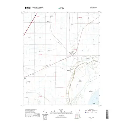 2020 Wilson2020 Print · USGSThe Mississippi River Delta in Eastern Arkansas is captured here during a period of modern agricultural stability and river management. Genealogists and local historians can locate rural landmarks like Golden Lake Cem, the community of Driver, and the residential streets of Wilson.
 - 2022 Map of Locke, 2022 Print
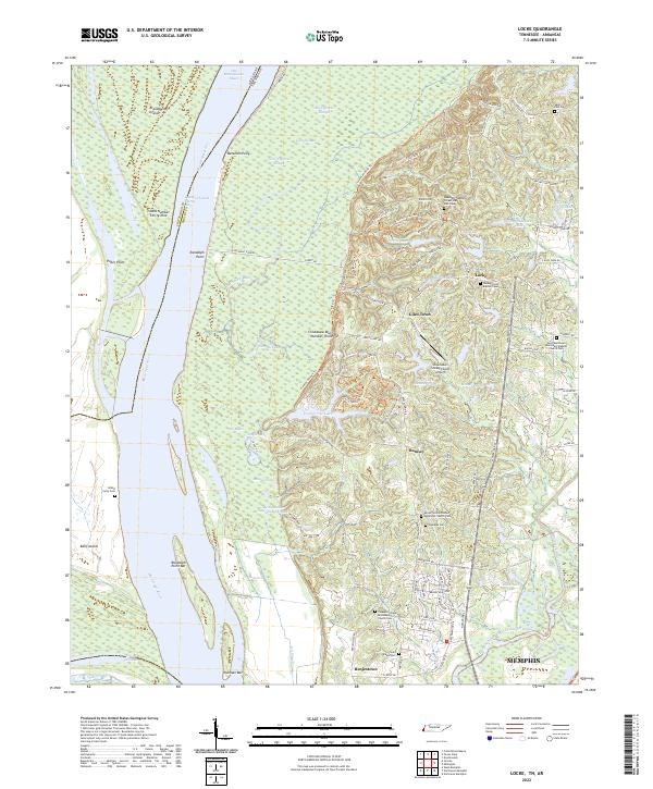 2022 Locke2022 Print · USGSThe Mississippi River bottoms north of Memphis are revealed here in the early twenty-first century, where the river's path dictates the border between Tennessee and Arkansas. Genealogists can trace family sites near Giles Town or locate rural burials at Oaklawn Cemetery and Island Forty Cemetery.
 - 2022 Map of Munford, 2022 Print
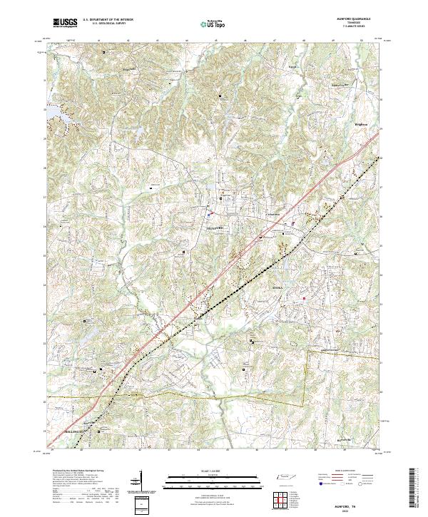 2022 Munford2022 Print · USGSThe growing communities of Munford and Atoka are captured here in the early twenty-first century, showcasing a landscape where modern development meets deep-seated family history. Researchers can trace dozens of legacy sites, from the Old Craig Graveyard and Coward Family Cem to the local congregations at Kerrville Presbyterian Cem.
 - 2022 Map of Covington, 2022 Print
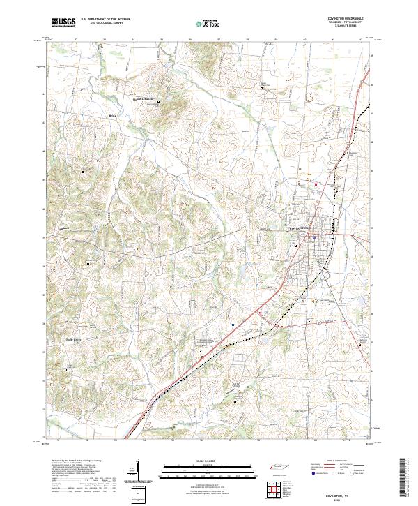 2022 Covington2022 Print · USGSCovington and the surrounding Tipton County countryside are captured here in the early twenty-first century, showcasing a landscape of established family farms and growing civic centers. Genealogists can trace local heritage through numerous burial sites like Shiloh Cem, Hall Cem, and the rural community of Bride.
 - 2022 Map of Turnpike, 2022 Print
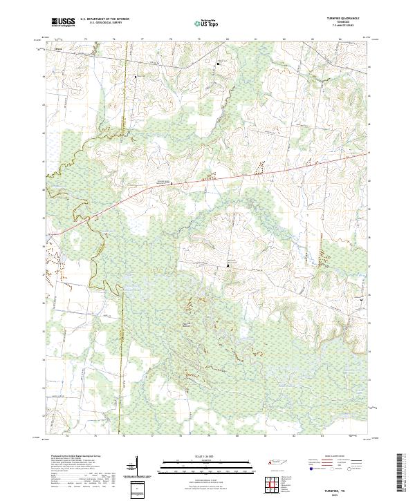 2022 Turnpike2022 Print · USGSThe Hatchie River floodplain in West Tennessee is captured here in recent years, showing a landscape shaped by shifting waters. Genealogists can locate several rural burial sites, including Estes Cemetery, Outlaw Cemetery, and the Turnpike Family Memorial Garden.
 - 2022 Map of Mason, 2022 Print
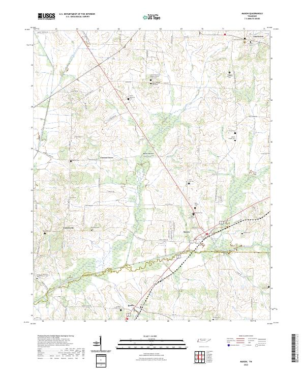 2022 Mason2022 Print · USGSThe Tipton and Fayette county line comes alive in this 2022 survey of the rural communities and canal systems of western Tennessee. Trace family roots at Redbud Plantation Cem, Canaan Grove, or Salem Missionary Baptist Church Cem North among the bottomlands of Baxter Bottom.
 - 2022 Map of Ripley South, 2022 Print
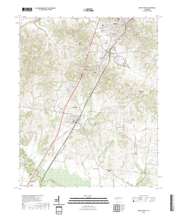 2022 Ripley South2022 Print · USGSLauderdale County comes into sharp focus during the early twenty-first century, spanning the area from the southern edge of Ripley down to the Hatchie River. Genealogists can trace family names at the Alex Haley Grave Site or search for roots at the Poplar Grove Cem and Bethlehem Cem.
 - 2022 Map of Stanton, 2022 Print
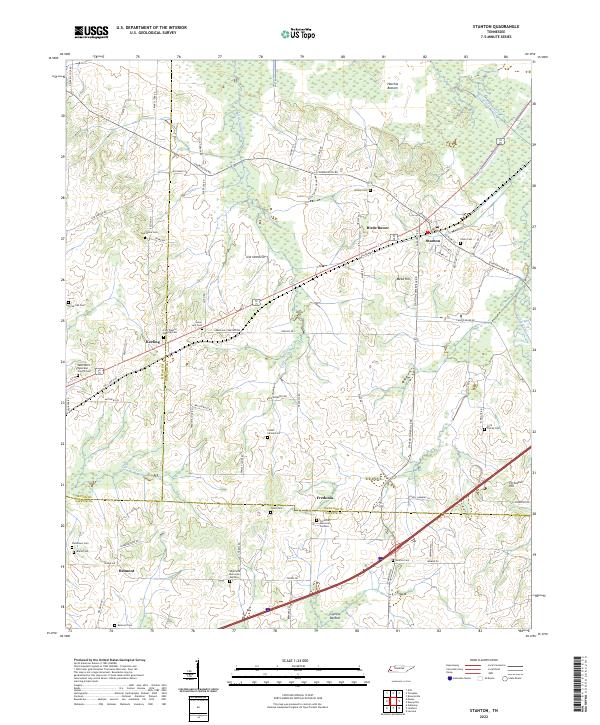 2022 Stanton2022 Print · USGSWest Tennessee’s agricultural and wetland borders are revealed here in the modern era, centered on the historic rail town of Stanton. Researchers can trace dozens of family and community sites, including Chote Cem, Wesley Cem, and Fredonia Memorial Gardens.
 - 2022 Map of Gilt Edge, 2022 Print
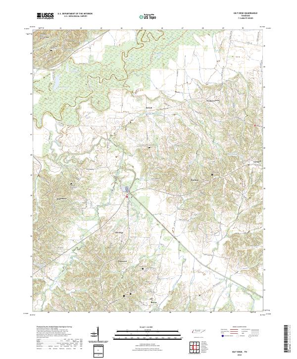 2022 Gilt Edge2022 Print · USGSThe Hatchie River bottomlands and Tipton County bluffs are shown here in modern detail, revealing a landscape of small agricultural hamlets. Researchers can trace family history through numerous rural burial sites like Elm Grove Cem, Alston Cem, and the community at Gilt Edge.
 - 2022 Map of Brighton, 2022 Print
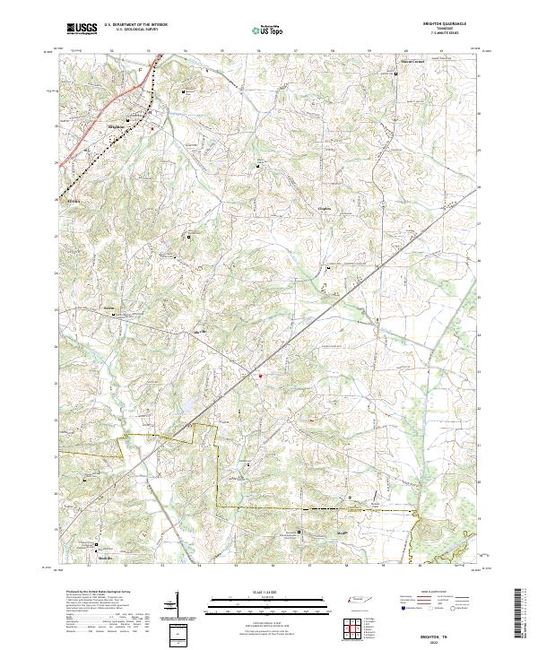 2022 Brighton2022 Print · USGSThe outskirts of Tipton and Shelby counties are shown here in the early twenty-first century, featuring a landscape defined by historic family settlements. Genealogists can trace roots through numerous local landmarks, from the Banyan Payne Family Cem to the rural centers of Idaville and Mudville.
 - 2022 Map of Gift, 2022 Print
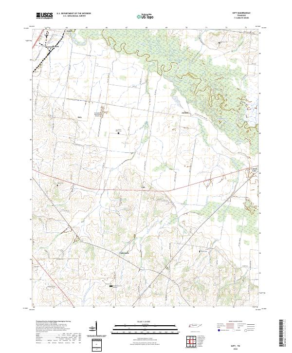 2022 Gift2022 Print · USGSTipton County at the start of the 2020s remains defined by the meandering Hatchie River and its rural settlements. Researchers can trace family history through local landmarks like Sharpe Cem, Plummers Grove Cem, and the community of Tabernacle.
 - 2022 Map of Arlington, 2022 Print
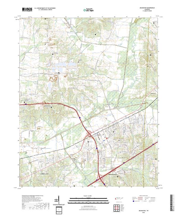 2022 Arlington2022 Print · USGSArlington and the northeast corner of Shelby County appear in this recent survey, showing a landscape defined by the Loosahatchie River Canal and the CSX railroad. Genealogists can trace deep local roots through landmarks like Gratitude Church Cem, Needham's Airport, and the Arlington Cem.
 - 2022 Map of Golddust, 2022 Print
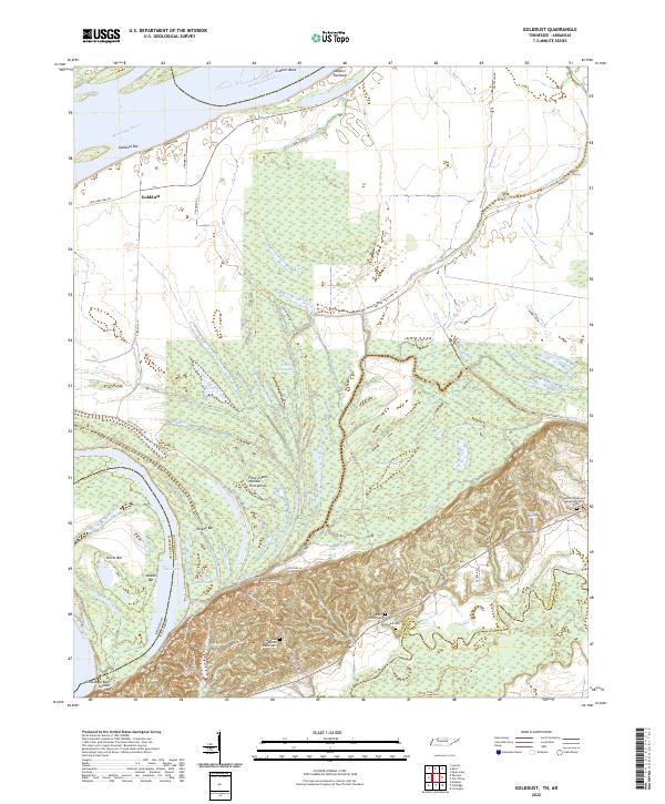 2022 Golddust2022 Print · USGSThe Tennessee-Arkansas river border in the early 2020s shows a landscape of active river bars and lowland sloughs. Genealogists and historians can trace local family landmarks such as Bates Family Cem, Samuels Cem, and the settlement of Golddust.
 - 2022 Map of Drummonds, 2022 Print
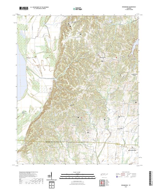 2022 Drummonds2022 Print · USGSTipton County upland and river bottomlands come alive in this recent survey of western Tennessee. Genealogists can trace family heritage at the Byrd Burial Ground, Poplar Grove Cem, and Saint Paul Chapel Cem near Drummonds.
 - 2022 Map of Fort Pillow, 2022 Print
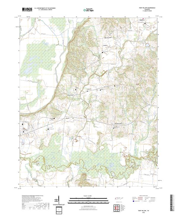 2022 Fort Pillow2022 Print · USGSLauderdale County at the start of the 2020s shows a landscape of river-bottom wetlands and enduring rural congregations. Genealogists can trace family lines through numerous sites like Lightfoot Cem, Saint James Church, and the community at Cherry.
 - 2024 Map of Jericho, 2024 Print
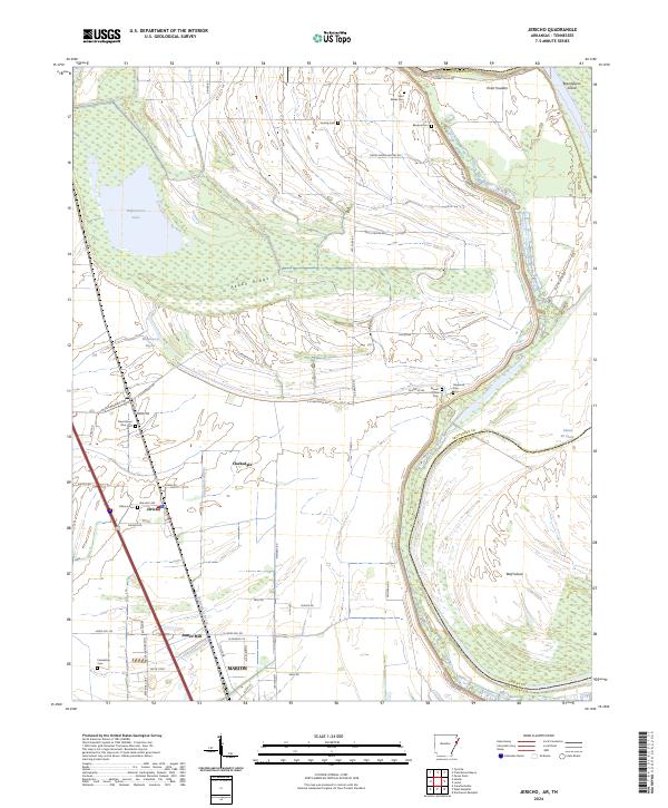 2024 Jericho2024 Print · USGSCrittenden County, Arkansas, and the Mississippi River bottoms are captured here in the mid-2020s. Researchers can locate numerous small cemeteries like Saint Marks Cem and Malone Cem near the settlements of Jericho and Clarkedale.
 - 2024 Map of Wilson, 2024 Print
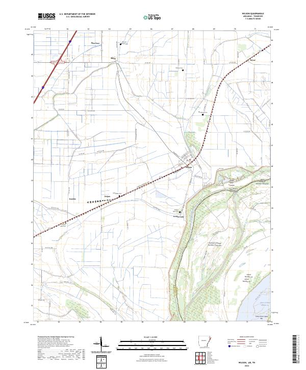 2024 Wilson2024 Print · USGSNortheast Arkansas and the Mississippi River border are captured here in the early twenty-first century as agricultural towns meet the river's edge. Genealogists can locate family landmarks like Macedonia Cem and Mount Olive Cem near the historic streets of Wilson.
 - 2024 Map of Nodena, 2024 Print
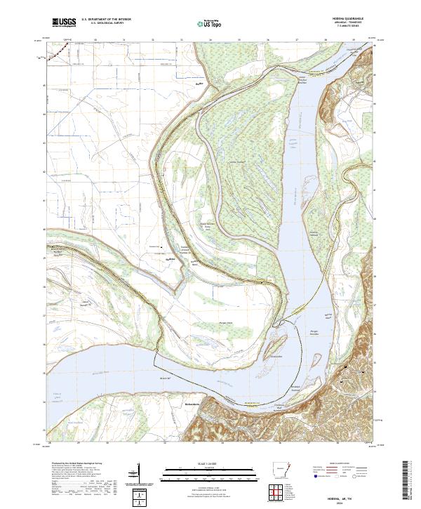 2024 Nodena2024 Print · USGSThe winding border of Arkansas and Tennessee comes alive in this survey of the Mississippi River floodplain and the high ground of the Chickasaw Bluffs. Genealogists can trace family sites at Nodena Cem and Old Randolph Cem or explore the river landings at Richardsons.
 - 2024 Map of Pecan Point, 2024 Print
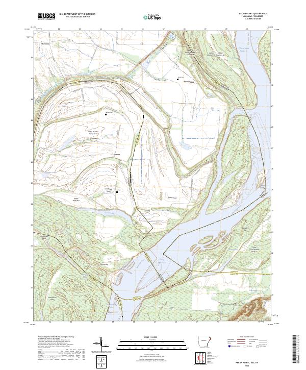 2024 Pecan Point2024 Print · USGSThe shifting channels of the Mississippi River define this borderland between Arkansas and Tennessee. Researchers can trace family sites at Jacob Cem or Barrow Cem and explore river features like Centennial Island and Pecan Point.
 - 2024 Map of Frenchmans Bayou, 2024 Print
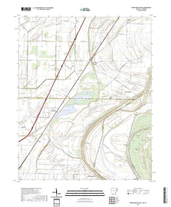 2024 Frenchmans Bayou2024 Print · USGSThe Mississippi River delta in the twenty-first century reveals a intricate landscape of oxbow lakes and rural hamlets. Researchers can trace the modern layout of settlements like Frenchmans Bayou, Joiner, and Lambethville alongside the historic Rupe Cem.
End of results
Showing maps 1-24 of 24
Top cities of Tipton County
- Covington historical maps
- Atoka historical maps
- Munford historical maps
- Brighton historical maps
- Mason historical maps
- Gilt Edge historical maps
See more
Frequently asked questions
- What are the different types of historical maps available for Tipton County?
- What is the oldest map of Tipton County?
- Where can I purchase historical maps of Tipton County for my home or office?
- Where can I download high-res historical maps of Tipton County?
- Are there historical topographic maps available for Tipton County?
- Is there historical aerial imagery available for Tipton County?
- Where are historical maps of Tipton County sourced from?