2010s Maps of Tipton County, Tennessee
Explore 71 historic maps of Tipton County from the 2010s. These maps offer a rare glimpse into what life looked like during the 2010s — showing old roads, neighborhoods, homes, and landmarks that have changed or disappeared over time.
Whether you're researching your family's past, planning a metal detecting trip, or studying how Tipton County's landscape evolved across the 2010s, these high-resolution maps are a powerful tool for exploring the history of this region.
- Focus on a specific era: All maps on this page are from the 2010s, giving you a focused view of this time period.
- See what’s changed: Compare century-old streets, trails, and buildings to today's modern landscape using overlays and satellite layers.
- Research with precision: Use these maps for genealogy, historical research, land use analysis, or educational projects.
- View, download, or print: Maps are fully viewable online in high resolution, and can be downloaded or printed for your own records.
Start exploring Tipton County's history through authentic maps from the 2010s. This is your window into the past.
Tipton County, TN maps
(71)- 2010 Map of Ripley South, 2010 Print
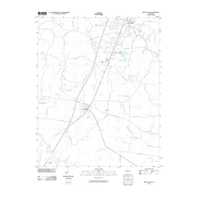 2010 Ripley South2010 Print · USGSLauderdale County in the early twenty-first century shows a landscape of growing town centers and quiet rural cemeteries. Genealogists can trace family sites at Bethlehem Cemetery and Canfield Cemetery near the southern edge of Ripley.
 - 2010 Map of Gift, 2010 Print
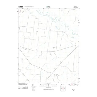 2010 Gift2010 Print · USGSCovington and the Hatchie River bottomlands are captured here in the early twenty-first century as a landscape of rural tradition and modern utility. Genealogists can locate family landmarks like Marrows Cemetery and Sharps Cemetery or trace the winding course of Richland Creek.
 - 2010 Map of Mason, 2010 Print
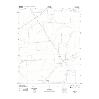 2010 Mason2010 Print · USGSSouthern Tipton County is shown here in the early twenty-first century, centered on the historic town of Mason. Genealogists can trace family burial sites across the landscape, from Saint Paul Cemetery to the rural Pipkins Cemetery.
 - 2010 Map of Fort Pillow, 2010 Print
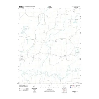 2010 Fort Pillow2010 Print · USGSLauderdale County terrain is mapped here during the early twenty-first century, showing the rural landscape around Pleasant Hill. Researchers can trace local lineage through numerous sites like Saint James Cemetery and New Hope Cemetery near the Hatchie River.
 - 2010 Map of Turnpike, 2010 Print
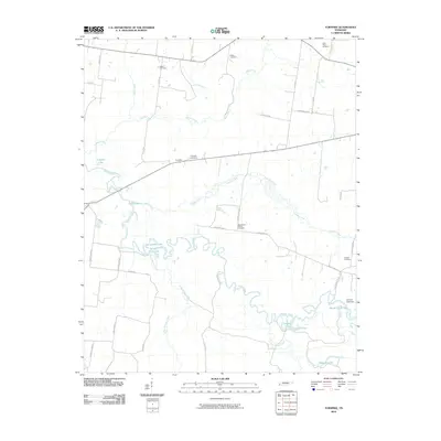 2010 Turnpike2010 Print · USGSThe Hatchie River bottomlands in Lauderdale County appear in detail during the early twenty-first century, showing a landscape defined by winding waterways and rural homesteads. Genealogists can locate family burial sites like Saint Peters Cemetery and Walker Cemetery or trace the old routes of Turnpike and Bono Ferry Rd.
 - 2010 Map of Stanton, 2010 Print
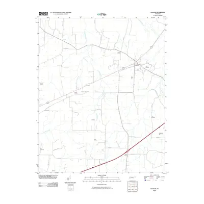 2010 Stanton2010 Print · USGSStanton and the surrounding Haywood County countryside are captured here in the early twenty-first century as a landscape defined by creeks and family heritage. Genealogists can trace numerous local burial sites including Collier Cemeteries, Hebron Cemetery, and Wesley Cemetery.
 - 2010 Map of Brighton, 2010 Print
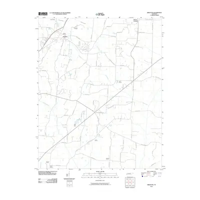 2010 Brighton2010 Print · USGSTipton County at the start of the 2010s shows a landscape of growing rural communities and essential water infrastructure. Researchers can locate numerous local burial sites like Clopton Cemetery and Rosemark Cemetery, or trace the path of the Indian Creek Canal.
 - 2010 Map of Munford, 2010 Print
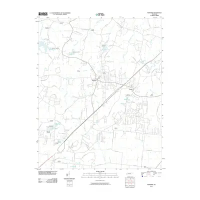 2010 Munford2010 Print · USGSMunford and Atoka are shown in detail during a period of modern growth in Tipton County. Researchers can locate numerous family burial sites such as Crigger Cemetery and Saint Johns Cemetery or trace the winding course of Big Creek.
 - 2010 Map of Drummonds, 2010 Print
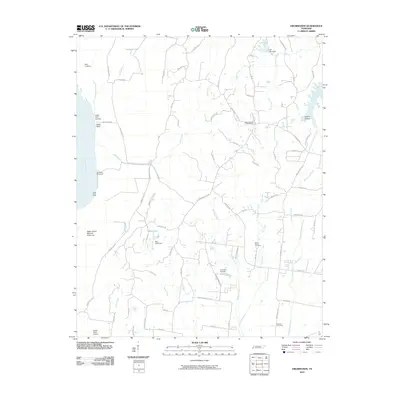 2010 Drummonds2010 Print · USGSTipton County's riverfront and rural interior are shown in detail here during the first decade of the new millennium. Researchers can find several local burial grounds like Fellowship Cemetery, the Drummonds Post Office, and river features such as Neal Landing.
 - 2010 Map of Gilt Edge, 2010 Print
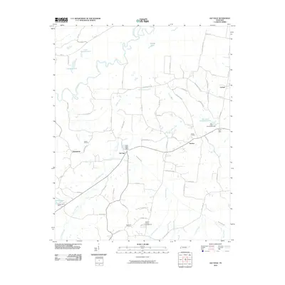 2010 Gilt Edge2010 Print · USGSTipton County in the early twenty-first century is a landscape of river bends and rural crossroads. Researchers can trace family history through sites like Smyrna Cemetery or explore the settlements of Gilt Edge and Burlison.
 - 2010 Map of Arlington, 2010 Print
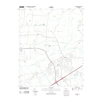 2010 Arlington2010 Print · USGSNortheastern Shelby County is seen here during a period of transition as the residential outskirts of Arlington expand near the Loosahatchie River. Genealogists can trace a remarkable number of family burial sites, from Burrow Cemetery and McCraw Cemetery to Mount Sinai Cemetery.
 - 2010 Map of Covington, 2010 Print
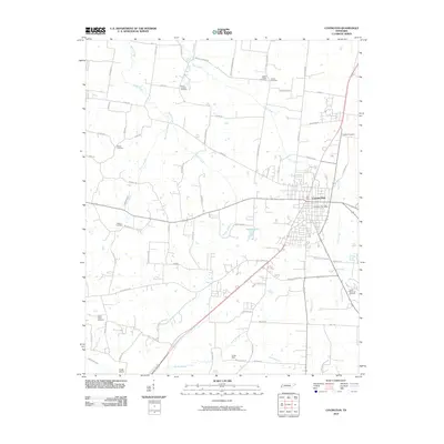 2010 Covington2010 Print · USGSCovington and the surrounding Tipton County countryside are captured here in the early twenty-first century as the community grew around its historic center. Genealogists can trace family locations through numerous sites like Mount Lebanon Cemetery, Shiloh Cemetery, and Tipton Memorial Gardens.
 - 2011 Map of Nodena, 2011 Print
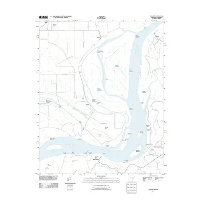 2011 Nodena2011 Print · USGSThe riverfronts of Arkansas and Tennessee meet here along the Mississippi during the early twenty-first century. Researchers can trace historic river landings and burial grounds such as Old Randolph Cemetery, Nodena, and Saw Mill Landing.
 - 2011 Map of Golddust, 2011 Print
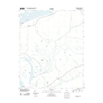 2011 Golddust2011 Print · USGSThe Tennessee-Arkansas borderlands come to life in this 2011 survey of the Mississippi River bottomlands. Researchers can locate family sites near Bates Cemetery, trace the old river bends of Jones Slough, and explore the river landing at Golddust.
 - 2011 Map of Locke, 2011 Print
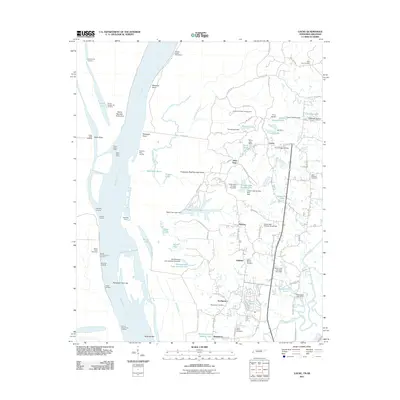 2011 Locke2011 Print · USGSThe Mississippi River bluffs north of Memphis are shown here during a period of steady suburban growth and riverfront management. Genealogists can locate several historic burial grounds like Benjestown Cemetery and trace old river landings such as Cigarette Landing.
 - 2011 Map of Wilson, 2011 Print
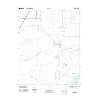 2011 Wilson2011 Print · USGSMississippi County agriculture and river life are captured here just after the turn of the millennium. Genealogists can trace family connections at Macedonia Cemetery and Golden Lake Cemetery, while navigating old landings like Howards Landing and Golden Lake Landing.
 - 2011 Map of Frenchmans Bayou, 2011 Print
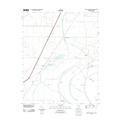 2011 Frenchmans Bayou2011 Print · USGSThe Mississippi River delta south of Joiner is captured here in the early twenty-first century, showing a landscape shaped by shifting waters and levee systems. Genealogists and local historians can trace family sites near Saint Thomas, Rupe Cemetery, and old river access points like Happy Valley Landing.
 - 2011 Map of Jericho, 2011 Print
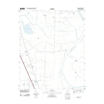 2011 Jericho2011 Print · USGSCrittenden County in the early twenty-first century remains a landscape of floodplain agriculture and river-bound settlements. Genealogists can locate several family and community landmarks, including New Mount Zion Cemetery, Malone Cemetery, and the quiet community of James Mill.
 - 2011 Map of Pecan Point, 2011 Print
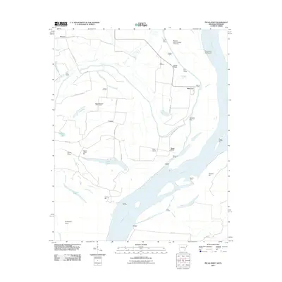 2011 Pecan Point2011 Print · USGSThe riverfront of Mississippi County is captured here just after the first decade of the new millennium. Researchers can trace the levee-protected lands of Deans Island and Pecan Point, locating family sites near Jacob Cemetery or riverfront markers like Black Cat Landing.
 - 2013 Map of Locke, 2013 Print
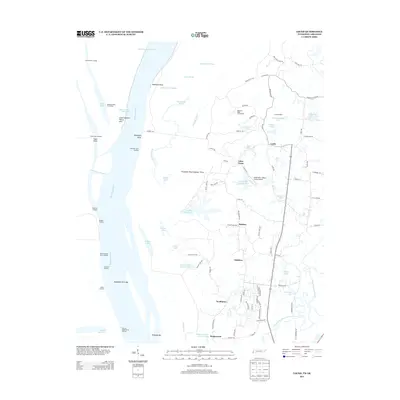 2013 Locke2013 Print · USGSThe riverfront north of Memphis comes alive on this map, showing the dynamic intersection of the Mississippi bottomlands and suburban expansion. Researchers can trace land use from the Shoemaker-Shelby Forest Airport to residential grids in Northaven and Benjestown.
 - 2013 Map of Turnpike, 2013 Print
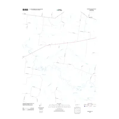 2013 Turnpike2013 Print · USGSThe bottomlands of the Hatchie River and the small rural crossroads of Turnpike are captured here in the early twenty-first century. Genealogists can trace family-named routes like Jess Rice Rd and explore river features like Horseshoe Lake.
 - 2013 Map of Covington, 2013 Print
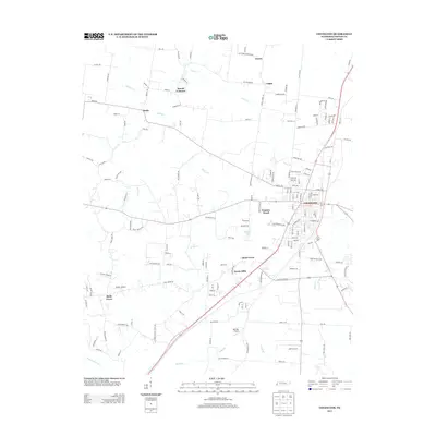 2013 Covington2013 Print · USGSCovington and its Tipton County surroundings are captured here in the early twenty-first century as suburban growth reaches into the rural landscape. Trace local landmarks from Mount Lebanon to Holly Grove, and locate private aviation hubs like Baskin Airport.
 - 2013 Map of Golddust, 2013 Print
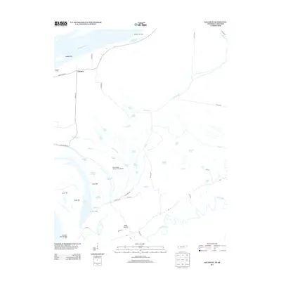 2013 Golddust2013 Print · USGSThe Tennessee-Arkansas borderland along the Mississippi River is captured here in the early twenty-first century. Researchers can trace riverfront life and hydrology through sites like Gold Dust Landing, Fort Pillow Landing, and the unique Convict Lake.
 - 2013 Map of Gilt Edge, 2013 Print
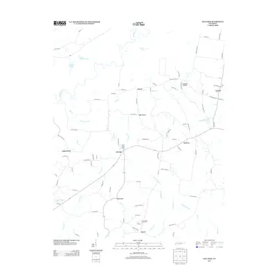 2013 Gilt Edge2013 Print · USGSTipton County, Tennessee, is mapped here in the early 2010s, showing a well-established rural landscape shaped by the Hatchie River. Researchers can trace local heritage through numerous crossroads communities like Gilt Edge, Burlison, and Detroit, alongside landmarks such as Mrs Ardell Blankenship Lake.
 - 2013 Map of Mason, 2013 Print
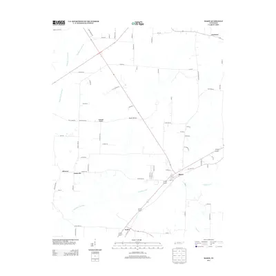 2013 Mason2013 Print · USGSIn this 2013 survey of West Tennessee, the community of Mason stands as a vital crossroads amid a complex network of agricultural canals and rural roads. Genealogists and local historians can trace family-named routes and settlements like Canaan Grove, Braden, and the wetlands of Baxter Bottom.
Showing maps 1-25 of 71
Top cities of Tipton County
- Covington historical maps
- Atoka historical maps
- Munford historical maps
- Brighton historical maps
- Mason historical maps
- Gilt Edge historical maps
See more
Frequently asked questions
- What are the different types of historical maps available for Tipton County?
- What is the oldest map of Tipton County?
- Where can I purchase historical maps of Tipton County for my home or office?
- Where can I download high-res historical maps of Tipton County?
- Are there historical topographic maps available for Tipton County?
- Is there historical aerial imagery available for Tipton County?
- Where are historical maps of Tipton County sourced from?