2000s (21st Century) Maps of Williamson County, Tennessee
Explore 100 historic maps of Williamson County from the 2000s (21st Century). These maps offer a rare glimpse into what life looked like during the 2000s — showing old roads, neighborhoods, homes, and landmarks that have changed or disappeared over time.
Whether you're researching your family's past, planning a metal detecting trip, or studying how Williamson County's landscape evolved across the 2000s, these high-resolution maps are a powerful tool for exploring the history of this region.
- Focus on a specific era: All maps on this page are from the 2000s, giving you a focused view of this time period.
- See what’s changed: Compare century-old streets, trails, and buildings to today's modern landscape using overlays and satellite layers.
- Research with precision: Use these maps for genealogy, historical research, land use analysis, or educational projects.
- View, download, or print: Maps are fully viewable online in high resolution, and can be downloaded or printed for your own records.
Start exploring Williamson County's history through authentic maps from the 2000s. This is your window into the past.
Williamson County, TN maps
(100)- 2010 Map of Craigfield, 2010 Print
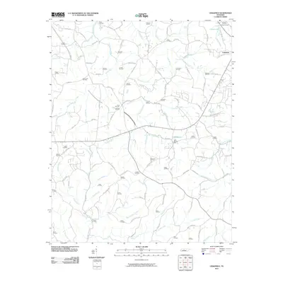 2010 Craigfield2010 Print · USGSSettlement and family lineage are deeply etched into this Williamson County landscape during the early twenty-first century. Genealogists can trace decades of history through dozens of burial sites like Craigfield Cemetery, Mount Zion Cemetery, and Mangrum Cemetery.
 - 2010 Map of Bethesda, 2010 Print
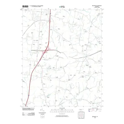 2010 Bethesda2010 Print · USGSThe rural landscape south of Franklin comes into focus in this modern era survey, detailing the dense network of family-named roads and cemeteries. Genealogists can trace family plots at Alexander Cemetery and Sprott Cemetery near the settlement of Cross Keys.
 - 2010 Map of Smyrna, 2010 Print
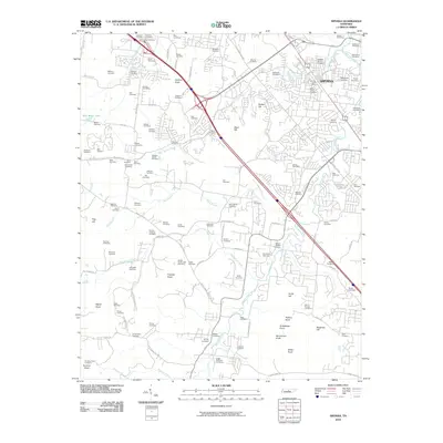 2010 Smyrna2010 Print · USGSSmyrna is shown here at a moment of modern growth, while its landscape remains deeply tied to its early pioneer roots. Genealogists can trace dozens of family burial sites, from the Sam Davis Cemetery and Mapleview Cemetery to the quiet Walpole-Garner Cemetery.
 - 2010 Map of Nolensville, 2010 Print
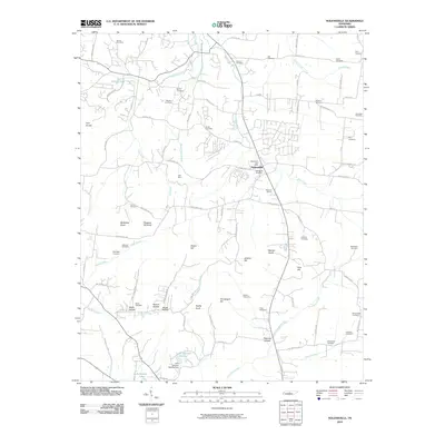 2010 Nolensville2010 Print · USGSNolensville and its surrounding hills are captured in this 2010 survey during a period of steady residential growth. Genealogists can trace family heritage across more than twenty burial sites, including the Battle Cemetery, McFarlin Cemetery, and Hamor Cemetery.
 - 2010 Map of Franklin, 2010 Print
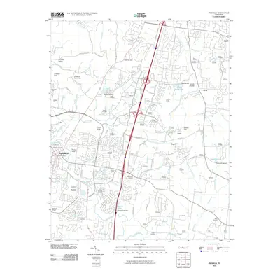 2010 Franklin2010 Print · USGSFranklin and the surrounding Williamson County hills are shown in detail during a period of rapid modern growth. Genealogists can trace dozens of family burial sites like McConnico Cemetery and Primm Cemetery or locate historic points such as Boiling Springs Mounds.
 - 2010 Map of Oak Hill, 2010 Print
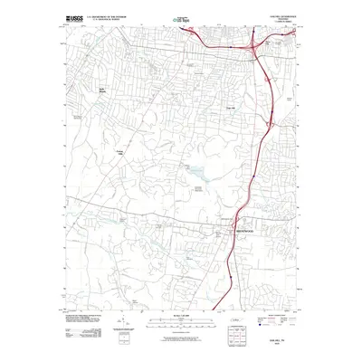 2010 Oak Hill2010 Print · USGSThe suburbs south of Nashville come into focus during the early twenty-first century as they span the wooded ridges and valleys. Researchers can locate family sites near Johnson Chapel Cemetery or trace the industrial footprint of Radnor Yards and Anderson Airport.
 - 2010 Map of Rally Hill, 2010 Print
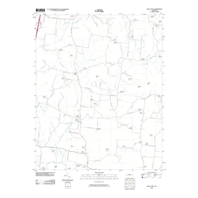 2010 Rally Hill2010 Print · USGSMiddle Tennessee’s rural character is preserved in this early 21st-century survey of the hills and hollows surrounding the Duck River. Genealogists can trace family heritage through dozens of documented burial sites, from Hurts Cross Roads to Shires Cemetery and the Riley-Harper Cemetery.
 - 2010 Map of College Grove, 2010 Print
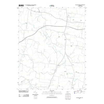 2010 College Grove2010 Print · USGSCollege Grove and Triune are shown here in the first decade of the new millennium as the Middle Tennessee landscape maintained its rural character. Researchers can locate many family-named burial sites like Newton Cannon Cemetery and the crossroads at Arrington Post Office.
 - 2010 Map of Antioch, 2010 Print
 2010 Antioch2010 Print · USGSDavidson County in the early twenty-first century reflects a blend of massive aviation infrastructure and deep-rooted family history. Genealogists can trace local heritage through numerous burial sites like King Cemetery and Foster Owens Cemetery while navigating the corridors of Tusculum and Mill Creek.
 - 2010 Map of White Bluff, 2010 Print
 2010 White Bluff2010 Print · USGSThe community of White Bluff and nearby New Hope are shown in 2010 as they sit among the many winding branches of Turnbull Creek. Researchers can locate several historic burial sites like Pinkerton Cemetery and Bell Town Cemetery alongside local landmarks like Bethany Hills Camp.
 - 2010 Map of Kingston Springs, 2010 Print
 2010 Kingston Springs2010 Print · USGSThe Harpeth River valley south of Nashville shows a blend of rural tradition and modern infrastructure during the early twenty-first century. Researchers can trace family history through sites like Thornton Cemetery or explore the geography of Buffalo Gap and Camp Marymount.
 - 2010 Map of Bellevue, 2010 Print
 2010 Bellevue2010 Print · USGSThe Harpeth River corridor west of Nashville shows significant suburban growth at the start of the millennium. Researchers can trace land patterns along Old Natchez Trce, locate the Pasquo Cemetery, and find landmarks like Vaughns Gap.
 - 2010 Map of Leipers Fork, 2010 Print
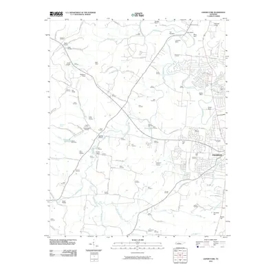 2010 Leipers Fork2010 Print · USGSFranklin and the Harpeth River valley are documented here at the start of the 2010s, showing a landscape rich with family history. Genealogists can trace dozens of burial sites, from Mount Hope Cemetery to several distinct Slave Cemetery locations and the historic Winstead Hill.
 - 2010 Map of Rockvale, 2010 Print
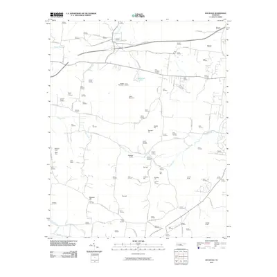 2010 Rockvale2010 Print · USGSThe rural landscape southwest of Murfreesboro comes into focus here, showing a community built around ridges and family farmsteads. Genealogists can trace dozens of family burial sites including the Lytle-Banks and Glenn-Windrow plots near the Rockvale Post Office.
 - 2010 Map of Chapel Hill, 2010 Print
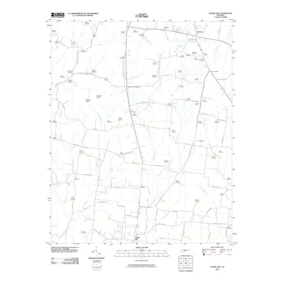 2010 Chapel Hill2010 Print · USGSThe rural border of Marshall and Rutherford Counties comes to life in this survey, showing the landscape between Eagleville and Chapel Hill. Genealogists can trace family roots through dozens of local burial sites like Marrs Hill Cemetery and the Flat Creek School district.
 - 2010 Map of Carters Creek, 2010 Print
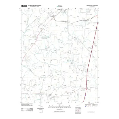 2010 Carters Creek2010 Print · USGSMaury County at the beginning of the twenty-first century reveals a landscape of enduring family legacies and agricultural research. Genealogists can trace decades of history through dozens of burial sites like Neapolis Cemetery and the Tennessee Orphans Home, or locate old industrial operations at Speed and Harmon Mine.
 - 2010 Map of Spring Hill, 2010 Print
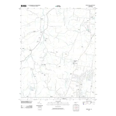 2010 Spring Hill2010 Print · USGSMid-Tennessee's rolling farmland and historic family settlements are captured here just as modern growth began to accelerate. Genealogists and local historians can locate dozens of family burial sites like Harrison Cemetery, the rail stop at Fedco Siding, and landmarks such as Thompson's Station.
 - 2010 Map of Theta, 2010 Print
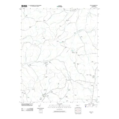 2010 Theta2010 Print · USGSIn the early twenty-first century, this Maury County landscape shows a community shaped by the ridges and hollows of Middle Tennessee. Researchers can locate dozens of family-named burial sites like Tidwell Cemetery and Godwin Cemetery or trace the Hatcher Mine near the banks of Carters Creek.
 - 2010 Map of Fairview, 2010 Print
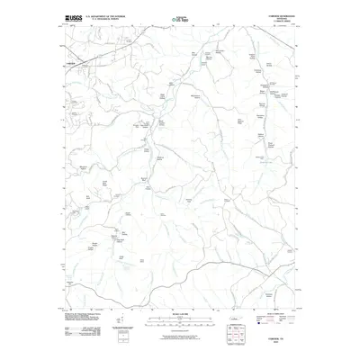 2010 Fairview2010 Print · USGSFairview and the winding headwaters of the South Harpeth River appear here at the start of the decade. Genealogists can trace family names through dozens of small burial sites like Mangrum Cemetery, Pewitt Cemetery, and Lampley Cemetery.
 - 2010 Map of Primm Springs, 2010 Print
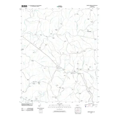 2010 Primm Springs2010 Print · USGSThis rural Tennessee hill country is shown during the early twenty-first century as a landscape of deep hollows and family homesteads. Genealogists can trace decades of local history through dozens of burial sites like Hilltown Cemetery, Harbison Cemetery, and the Johnsons Chapel Cemetery.
 - 2013 Map of White Bluff, 2013 Print
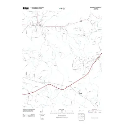 2013 White Bluff2013 Print · USGSThe hills of Tennessee near White Bluff are captured here in the early twenty-first century, showing a landscape carved by the Harpeth River. Genealogists and local historians can trace family-named routes and find settlements like Bell Town, Craggie Hope, and New Hope.
 - 2013 Map of Kingston Springs, 2013 Print
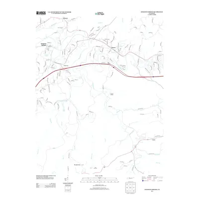 2013 Kingston Springs2013 Print · USGSThe rural landscapes west of Nashville come into focus during this period of steady growth along the Harpeth River. Researchers can trace old property boundaries and local landmarks from Black Friar Farm to the small communities of Pegram, Linton, and Kingston Springs.
 - 2013 Map of Carters Creek, 2013 Print
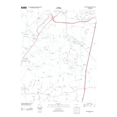 2013 Carters Creek2013 Print · USGSMaury County at the start of the 2010s reveals a landscape of institutional history and rolling terrain between Carters Creek and Lasea. Researchers can find local landmarks like the Tennessee Orphans Home, Hunter Airport, and the University of Tennessee Experimental Farm Lake.
 - 2013 Map of Spring Hill, 2013 Print
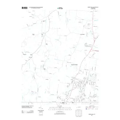 2013 Spring Hill2013 Print · USGSSpring Hill and Thompson's Station are shown here in the early twenty-first century as suburban growth reshapes the Williamson County landscape. Researchers can trace old family landmarks and rural settlements like Burwood, New Town, and Fedco Siding amidst the modern road network.
 - 2013 Map of Nolensville, 2013 Print
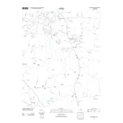 2013 Nolensville2013 Print · USGSNolensville and its surrounding knobs and hollows are captured here during a season of suburban growth south of Nashville. Researchers can trace the layout of Stonebrook and Sunset Acres alongside local landmarks like Molly Hollow and Polk Hill.
Showing maps 1-25 of 100
Top cities of Williamson County
- Franklin historical maps
- Brentwood historical maps
- Nolensville historical maps
- Fairview historical maps
- Thompson's Station historical maps
Frequently asked questions
- What are the different types of historical maps available for Williamson County?
- What is the oldest map of Williamson County?
- Where can I purchase historical maps of Williamson County for my home or office?
- Where can I download high-res historical maps of Williamson County?
- Are there historical topographic maps available for Williamson County?
- Is there historical aerial imagery available for Williamson County?
- Where are historical maps of Williamson County sourced from?