2010s Maps of Wilson County, Tennessee
Explore 72 historic maps of Wilson County from the 2010s. These maps offer a rare glimpse into what life looked like during the 2010s — showing old roads, neighborhoods, homes, and landmarks that have changed or disappeared over time.
Whether you're researching your family's past, planning a metal detecting trip, or studying how Wilson County's landscape evolved across the 2010s, these high-resolution maps are a powerful tool for exploring the history of this region.
- Focus on a specific era: All maps on this page are from the 2010s, giving you a focused view of this time period.
- See what’s changed: Compare century-old streets, trails, and buildings to today's modern landscape using overlays and satellite layers.
- Research with precision: Use these maps for genealogy, historical research, land use analysis, or educational projects.
- View, download, or print: Maps are fully viewable online in high resolution, and can be downloaded or printed for your own records.
Start exploring Wilson County's history through authentic maps from the 2010s. This is your window into the past.
Wilson County, TN maps
(72)- 2010 Map of Lascassas, 2010 Print
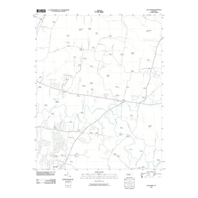 2010 Lascassas2010 Print · USGSThe rural Tennessee landscape of Rutherford County is captured here in the early twenty-first century, centered on the East Fork Stones River. Genealogists and historians can trace dozens of family-named burial sites and landmarks like Walter Hill Dam, Browns Mill Dam, and Northcutt Cemetery.
 - 2010 Map of Lebanon, 2010 Print
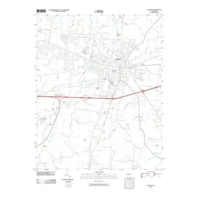 2010 Lebanon2010 Print · USGSLebanon and the surrounding Wilson County landscape are captured here during a period of steady modern growth. Researchers can locate numerous family burial grounds like Van Hook Cemetery and Eddins Cemetery, or trace the campus of Cumberland University.
 - 2010 Map of Hunters Point, 2010 Print
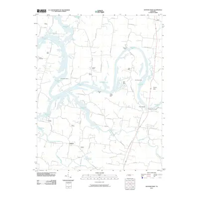 2010 Hunters Point2010 Print · USGSThe Cumberland River valley north of Lebanon comes into focus in this early twenty-first-century survey of Old Hickory Lake. Researchers can trace family history at Ebeneezer Cemetery or explore the river terrain at Indian Ladder Bluff and Belotes Bar.
 - 2010 Map of Laguardo, 2010 Print
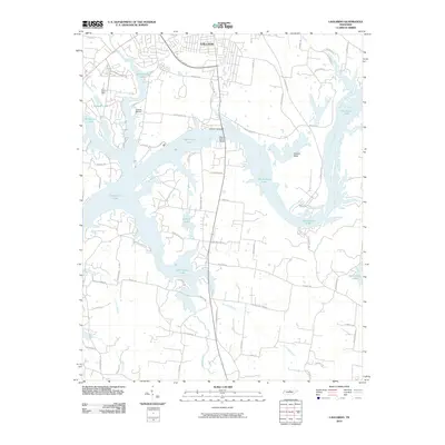 2010 Laguardo2010 Print · USGSThe area south of Gallatin is shown here in the early twenty-first century, defined by the expansive waters of the Cumberland River. Researchers can trace land development around Old Hickory Lake and identify key landmarks like Odoms Bend and the Martha Gallatin Bridge.
 - 2010 Map of Hendersonville, 2010 Print
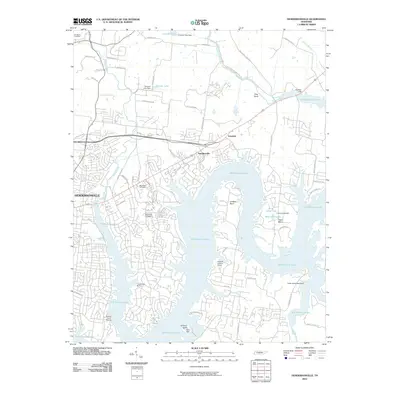 2010 Hendersonville2010 Print · USGSHendersonville and the shores of Old Hickory Lake are captured here during the area's modern growth. Trace local history through family-named landmarks like Stark Knob Cemetery, or explore the waterfront at Creekwood Marina and Lindsley Bend.
 - 2010 Map of Auburntown, 2010 Print
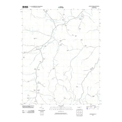 2010 Auburntown2010 Print · USGSAuburntown and its surrounding rural hollows are captured in this recent survey of Cannon County. Genealogists can trace family heritage through numerous burial sites like Kennedy Cemetery and landmarks such as Fodderstack Knob and Saunders Fork.
 - 2010 Map of La Vergne, 2010 Print
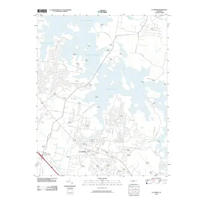 2010 La Vergne2010 Print · USGSLa Vergne and the surrounding Davidson County shoreline appear here in the early twenty-first century as a blend of suburban growth and historical remnants. Genealogists and local historians can trace numerous family burial sites like Buchanan Cemetery and Leigh Cemetery or locate the Bannister Mine.
 - 2010 Map of Hermitage, 2010 Print
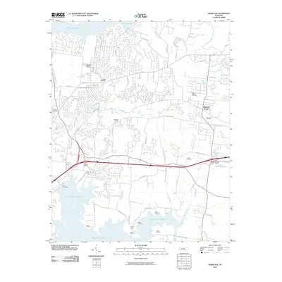 2010 Hermitage2010 Print · USGSThe Tennessee landscape east of Nashville is captured here during its transition into a modern suburban corridor. Genealogists can trace family heritage through numerous burial sites including Confederate Memorial Cemetery, Cowgill Cemetery, and Sperry Cemetery.
 - 2010 Map of Watertown, 2010 Print
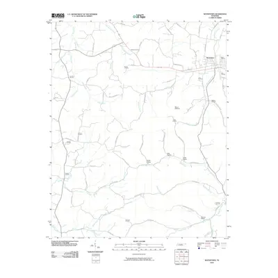 2010 Watertown2010 Print · USGSWatertown and its surrounding Wilson County hollows are captured here during the first decade of the 2000s. Genealogists can locate family burial sites including Jones Cemetery and Neal Cemetery, or trace rural landmarks like Mount Defiance and Bug Hollow.
 - 2010 Map of Martha, 2010 Print
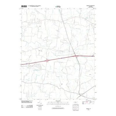 2010 Martha2010 Print · USGSWilson County shows its mix of historic rural roots and modern growth at the turn of the decade. Genealogists can locate family-named landmarks like Viverett Cemetery or Gaines Cemetery and trace natural features like Tucker Gap.
 - 2010 Map of Vine, 2010 Print
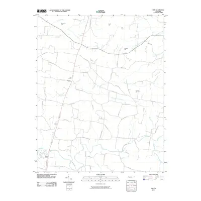 2010 Vine2010 Print · USGSWilson County, Tennessee, is captured here in the early twenty-first century as a landscape of family-named hills and winding creek branches. Genealogists can trace burial sites at Major Cemetery or Shelton Cemetery and locate historical thoroughfares like Old Murfreesboro Rd E.
 - 2010 Map of Dixon Springs, 2010 Print
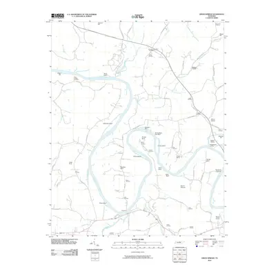 2010 Dixon Springs2010 Print · USGSSmith County is defined by the winding Cumberland River in this modern survey of its rural landscapes and historic river landings. Genealogists can trace family footprints through sites like the Rome Ferry, Kennys Cemetery, and the Riddleton Post Office.
 - 2010 Map of Shop Springs, 2010 Print
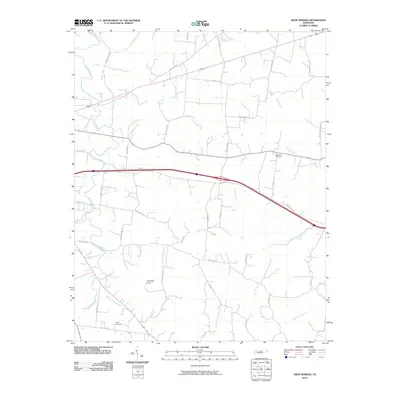 2010 Shop Springs2010 Print · USGSWilson County at the end of the first decade of the 2000s shows a well-established rural landscape shaped by its many creek prongs. Genealogists and historians can locate family burial sites at Bethlehem Cemetery or trace the drainage of Shop Springs Branch near Jennings Knob.
 - 2010 Map of Alexandria, 2010 Print
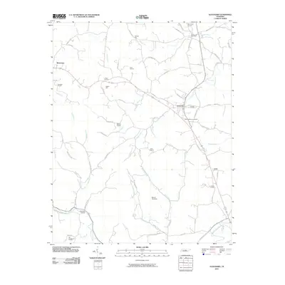 2010 Alexandria2010 Print · USGSThe rural communities of Middle Tennessee are captured here as they appeared in the early 21st century. Genealogists can locate numerous burial sites such as Grandstaff Cemetery and Allen Cemetery or trace landmarks like Holmes Gap and Round Top Knob.
 - 2010 Map of Bellwood, 2010 Print
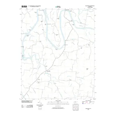 2010 Bellwood2010 Print · USGSCenterville and the river bends of Wilson County are shown in detail at the turn of the twenty-first century. Local historians can trace family ties at Tomlinson Cemetery or explore the river terrain at Beasleys Bend and Spanish Needle Knob.
 - 2010 Map of New Middleton, 2010 Print
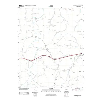 2010 New Middleton2010 Print · USGSSmith County is shown here in the early twenty-first century, revealing a rural landscape shaped by winding waterways and high ridges. Genealogists can locate numerous burial sites such as Barnett Cemetery, Tuggle Cemetery, and BrushCreek Cemetery.
 - 2010 Map of Milton, 2010 Print
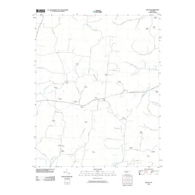 2010 Milton2010 Print · USGSMid-state Tennessee hill country and creek bottoms are meticulously documented here in the early twenty-first century. Genealogists can locate over a dozen family burial sites, including the Rucker Goodloe Cemetery and Bradleys Creek Cemetery.
 - 2010 Map of Gladeville, 2010 Print
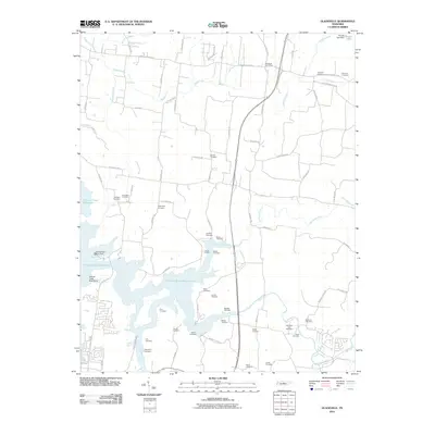 2010 Gladeville2010 Print · USGSRutherford and Wilson counties are shown here as the local landscape adapts to the presence of the J Percy Priest Reservoir. Genealogists can trace dozens of family burial sites like Livenston Cemetery, Lannom Cemetery, and Brothers Cemetery.
 - 2013 Map of Hunters Point, 2013 Print
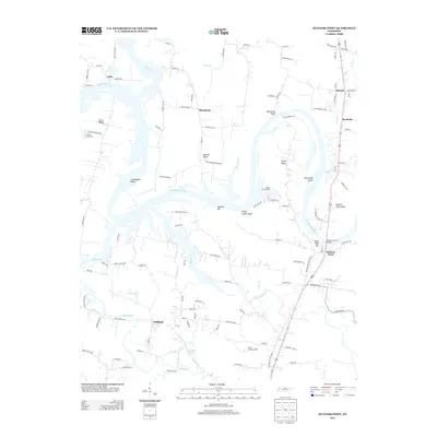 2013 Hunters Point2013 Print · USGSWilson County's riverfront communities are captured here in the early twenty-first century as suburban growth reaches the historic bends of the Cumberland. Trace the local landscape through named settlements like Oakland and landmarks such as Indian Ladder Bluff and the Nathan J Harsh Bridge.
 - 2013 Map of Dixon Springs, 2013 Print
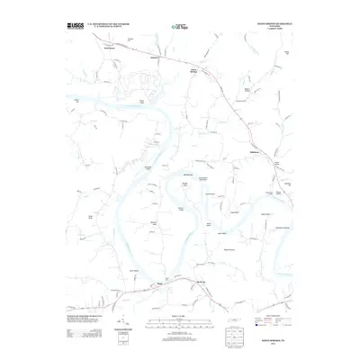 2013 Dixon Springs2013 Print · USGSThe Cumberland River winds through northern Tennessee in this 2013 survey, revealing a landscape of historic ferry crossings and river bends. Trace local history through Rome Ferry, Bridgewaters Landing, and the settlements of Riddleton and Dixon Springs.
 - 2013 Map of Watertown, 2013 Print
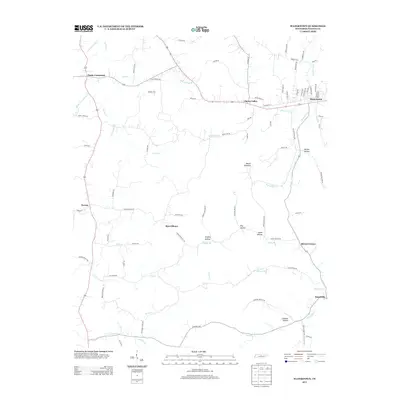 2013 Watertown2013 Print · USGSWatertown and the rural reaches of Wilson County are shown here in the early twenty-first century, documenting a landscape of historic crossroads and creek valleys. Researchers can trace family-named sites and old settlements from Sherrilltown to the valley of Round Lick Cr and the heights of Mount Defiance.
 - 2013 Map of Vine, 2013 Print
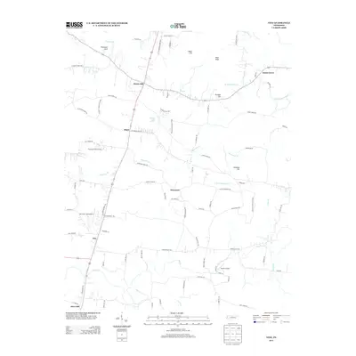 2013 Vine2013 Print · USGSWilson County is captured here in the early twenty-first century, showing a landscape of small settlements and high ground. Genealogists and local historians can trace family locations near Bairds Mill, Adams Grove, and the unique Jacksons Cave Spring.
 - 2013 Map of Lascassas, 2013 Print
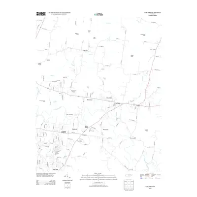 2013 Lascassas2013 Print · USGSRutherford County is seen in the early twenty-first century, showing the rural character of the area northeast of Murfreesboro. Researchers can trace local landmarks like Browns Mill, the community of Lascassas, and several family-named high points including Casons Knobs and Halls Knob.
 - 2013 Map of Milton, 2013 Print
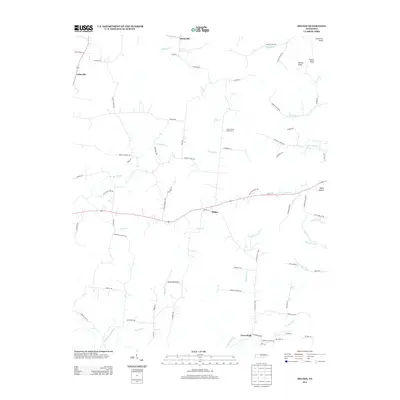 2013 Milton2013 Print · USGSThe rural countryside of Wilson County comes to life in this recent survey, showcasing a landscape of family farms and creek-side settlements. Genealogists and local historians can trace the roads connecting Milton and Cainsville or locate Stonewall Airpark.
 - 2013 Map of Shop Springs, 2013 Print
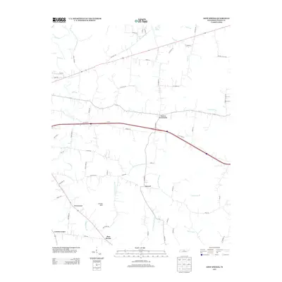 2013 Shop Springs2013 Print · USGSWilson County remains a landscape of historic crossroads and family-named hollows into the early twenty-first century. Researchers can trace ancestral property locations near Tuckers Crossroads, Shop Springs, and the waters of Jennings Fork.
Showing maps 1-25 of 72
Top cities of Wilson County
Frequently asked questions
- What are the different types of historical maps available for Wilson County?
- What is the oldest map of Wilson County?
- Where can I purchase historical maps of Wilson County for my home or office?
- Where can I download high-res historical maps of Wilson County?
- Are there historical topographic maps available for Wilson County?
- Is there historical aerial imagery available for Wilson County?
- Where are historical maps of Wilson County sourced from?