Old Maps of Atascosa County, Texas for Academic Research
Study the evolution of Atascosa County with 198 high-resolution historic maps. Whether you're teaching, researching, or modeling changes in land use, these maps provide essential visual documentation of urban, environmental, and geographic change.
- Analyze long-term change: Track patterns in development, transportation, and natural features.
- Ideal for environmental or urban studies: Support academic projects with primary historical map data.
- Use in the classroom or lab: Educators and researchers rely on these maps to bring historical context to life.
These maps are a powerful tool for teaching, research, and visualizing how Atascosa County has changed over the decades.
Atascosa County, TX maps
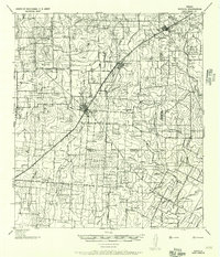
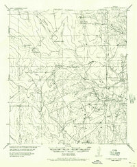
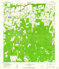
(198)- 1930 Map of Whitsett
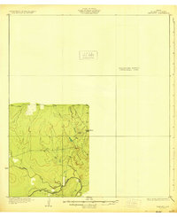 1930 Whitsett1930 Print · USGSThe South Texas brush country unfolds in this late-1920s survey of McMullin County, showing the region as it appeared before widespread development. Trace early drainage routes like San Miguel Creek and find the small settlement of Crowther near Opossum Hill.2 unique versions available
 - 1931 Map of Falls City
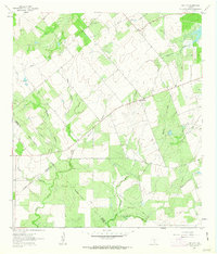
 1931 Falls City1931 Print · USGSSouth Texas river life and rail transport meet in this early thirties survey of Karnes and Wilson Counties. Trace the Southern Pacific through Falls City or locate rural landmarks like Froshinn Hall and Laake Sch.4 unique versions available
 - 1934 Map of Schattel, 1940 Print
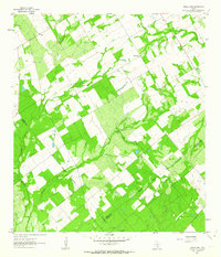
 1934 Schattel1940 Print · USGSIn the mid-1930s, this Frio County landscape was a network of cattle ranches and remote schoolhouses. Genealogists and historians can trace family operations at Keystone Ranch and locate vanished rural centers like Schattel and Shallow Wells School.2 unique versions available
 - 1942 Map of Whitsett
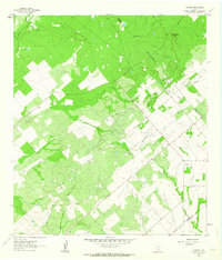
 1942 Whitsett1942 Print · USGSRanching and early oil exploration define this South Texas landscape during the early years of the war. Genealogists can trace family holdings like the Peeler Ranch and Jacob Ranch or locate the Old Oil Field near the settlement of Crowther.
 - 1942 Map of Natalia, 1956 Print
 1942 Natalia1956 Print · USGSMedina and Atascosa Counties are captured here during the mid-century, showing the shift from traditional ranching to an oil and rail economy. Genealogists can trace family holdings and local landmarks such as Bear Creek School, the Sullivan Ranch, and the early settlement at Zig Zag.
 - 1953 Map of Crystal City
 1953 Crystal City1953 Print · USGSSouth Texas in the early fifties was a landscape of expanding oil fields and vital rail connections. Genealogists and researchers can trace family lands along the Nueces River or locate heritage sites in Asherton, Big Wells, and Batesville.
 - 1954 Map of San Antonio, 1964 Print
 1954 San Antonio1964 Print · USGSSan Antonio and the Texas Hill Country are captured here in the mid-fifties, showing a landscape defined by massive military air bases and the rising Canyon Reservoir. Trace family ties through historic rail towns like D'Hanis and Castroville or explore the Cold War footprint of Lackland AFB and Randolph AFB.3 unique versions available
 - 1955 Map of Crystal City, 1976 Print
 1955 Crystal City1976 Print · USGSSouth Texas ranching and oil country come into focus in the mid-fifties as the rail lines and rivers connect growing hubs. Researchers can trace the development of energy fields like Washburn Oil Field or locate historic settlements from Asherton to Three Rivers.
 - 1956 Map of Suniland
 1956 Suniland1956 Print · USGSLive Oak County ranching culture and rural infrastructure are captured here in the mid-fifties, just as the region’s landscape was maturing. Genealogists can trace family legacies through properties like the Poe Ranch and find defunct community hubs like North School and the Whitsett Pump Station.
 - 1956 Map of Pleasanton
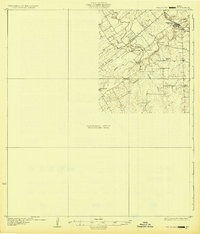
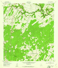
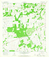
 1956 Pleasanton1956 Print · USGSPleasanton and the surrounding Atascosa County ranches appear here as they were mapped between the world wars. Genealogists and local historians can trace family properties like the Coughran Ranch and find rural landmarks like Hickcock School and the Temple church.
 - 1956 Map of Jourdanton
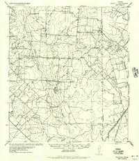
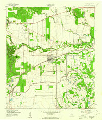
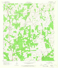
 1956 Jourdanton1956 Print · USGSMid-century Atascosa County was a hub of South Texas ranching and rail activity as shown in this 1950s record. Genealogists and historians can locate family-named landmarks like Owdens Ranch, trace the San Antonio Southern rail line, or find the site of the Tobery School.
 - 1956 Map of Hindes
 1956 Hindes1956 Print · USGSSouth Texas ranching country comes alive in this mid-century survey of the Frio and La Salle county lines. Family history researchers can trace local landmarks like the Arnold School, Schoerp & Spettel Ranch, and rail stops at Prince Siding and Zella Siding.
 - 1956 Map of Franklin Settlement
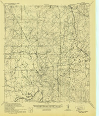
 1956 Franklin Settlement1956 Print · USGSSouth Texas ranching life is well-documented in this mid-century survey of the Atascosa and McMullen county line. Genealogists can locate family holdings like Burmeister Ranch, Kenny Ranch, and the Franklin Settlement (Cross).
 - 1957 Map of San Antonio
 1957 San Antonio1957 Print · USGSSan Antonio and the Texas Hill Country are shown here during the mid-fifties, capturing the region's expanding post-war military and transportation footprint. Genealogists and local historians can trace the early residential boundaries of Alamo Heights or locate rural landmarks like St Hedwig and Medina Lake.
 - 1958 Map of Losoya, 1961 Print
 1958 Losoya1961 Print · USGSBexar County south of San Antonio was a landscape of river-valley settlements and rural education during the late 1950s. Genealogists and local historians can locate Our Lady of Mt Carmel Ch, the community of Losoya, and the Thelma Sch along the Missouri Pacific line.3 unique versions available
 - 1958 Map of La Coste, 1961 Print
 1958 La Coste1961 Print · USGSMedina County during the late fifties shows a rural landscape shaped by the Medina River and the expanding irrigation systems of South Texas. Researchers can find long-standing landmarks like Our Lady of Grace Sch and the Castroville Air Force Auxiliary Field.3 unique versions available
 - 1958 Map of Somerset, 1961 Print
 1958 Somerset1961 Print · USGSThe oil-rich landscape south of San Antonio comes alive in the late fifties as the Somerset Oil Field reaches its peak. Genealogists and historians can trace the foundations of local life at Old Rock Ch, the Bexar Cem, and along the Missouri Pacific tracks.3 unique versions available
 - 1958 Map of Thelma, 1961 Print
 1958 Thelma1961 Print · USGSBexar County south of San Antonio is shown here in the late fifties as a landscape of rural settlements and oil extraction. Trace family roots and local history near Thelma, Oak Island, and the Thelma Tabernacle along the Missouri Pacific line.2 unique versions available
 - 1961 Map of Crystal City
 1961 Crystal City1961 Print · USGSSouth Texas in the early sixties reveals a landscape of massive cattle ranches and emerging oil fields. Genealogists and historians can trace the Missouri Pacific rail lines through Crystal City, or locate water features like Espantosa Lake and Boynton Reservoir.
 - 1961 Map of Coy City, 1963 Print
 1961 Coy City1963 Print · USGSThe Karnes County brush country is captured here in the early sixties, showing the rural crossroads of Coy City and Fashing. Researchers can trace the development of the local oil industry through a network of Pipelines and an isolated Landing Strip.
 - 1961 Map of Three Oaks, 1964 Print
 1961 Three Oaks1964 Print · USGSWilson County rural life in the early sixties revolved around small community centers like Three Oaks and Dewees. Researchers can locate family landmarks such as the Three Oaks Ch and Three Oaks Sch, or trace old industrial sites like the local Mines.2 unique versions available
 - 1961 Map of Fashing, 1964 Print
 1961 Fashing1964 Print · USGSThe South Texas brush country at the dawn of the 1960s reveals an landscape shaped by the Fashing Edwards Gas Field. Trace the development of Fashing and search for family roots at Brister Cem or Fashing Cem near Tordillo Hill.
 - 1964 Map of Saspamco SE, 1966 Print
 1964 Saspamco SE1966 Print · USGSThe rural borderlands of Wilson and Atascosa counties are captured in the mid-1960s, showing a landscape of scattered ranches and rising industry. Genealogists and local historians can locate Fairview and Stahl, alongside features like the Fairview Cem and several Oil Wells.2 unique versions available
 - 1964 Map of Leming, 1966 Print
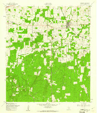
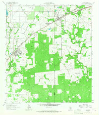
 1964 Leming1966 Print · USGSAtascosa County in the mid-sixties reveals a landscape of ranching and rail-side settlements along the Missouri Pacific. Researchers can locate several historic burial sites like St Joseph Cem and family-named landmarks like Tumlinson Cem.2 unique versions available
 - 1964 Map of Lytle, 1966 Print
 1964 Lytle1966 Print · USGSMid-century Atascosa and Medina Counties are shaped here by rail corridors and oil production. Trace the legacy of Lytle and Natalia along the Missouri Pacific near the Verna-Anacacho Oil Field.2 unique versions available
Showing maps 1-25 of 198
Top cities of Atascosa County
- Pleasanton historical maps
- Jourdanton historical maps
- Poteet historical maps
- Charlotte historical maps
- Leming historical maps
- Christine historical maps
See more
Frequently asked questions
- What are the different types of historical maps available for Atascosa County?
- What is the oldest map of Atascosa County?
- Where can I purchase historical maps of Atascosa County for my home or office?
- Where can I download high-res historical maps of Atascosa County?
- Are there historical topographic maps available for Atascosa County?
- Is there historical aerial imagery available for Atascosa County?
- Where are historical maps of Atascosa County sourced from?