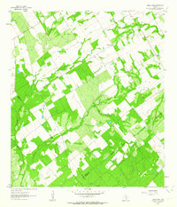
1961 Map of Three Oaks
USGS Topo · Published 1964About this map
Three Oaks serves as a central hub in this early 1960s agricultural landscape, where the Three Oaks Ch and Three Oaks Sch anchored the local community. The terrain is defined by a network of seasonal drainages, including Sulphur Creek, Los Cortes Creek, and Borrego Creek, which divide the fenced fields and pasturelands. To the northwest, the small settlement of Dewees sits near the upper reaches of the Sulphur Creek valley.
Find a feature on this map
18 named features on this map. Tap any name to fly to it.
Don’t see what you’re looking for? This feature index may not catch every label — zoom into the map to look around manually.
Map Details
Editions of this 1961 Three Oaks Map
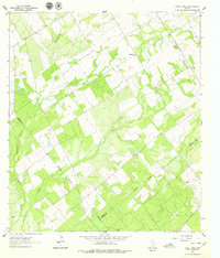
2 editions found
Other maps of this area

1925 · Tordia No. 1
USGS Topo · 1:48,000

1931 · Falls City
USGS Topo · 1:62,500

1936 · Floresville
USGS Topo · 1:62,500

1953 · Crystal City
USGS Topo · 1:250,000

1954 · San Antonio
USGS Topo · 1:250,000

1955 · Crystal City
USGS Topo · 1:250,000

1956 · Pleasanton
USGS Topo · 1:62,500

1957 · San Antonio
USGS Topo · 1:250,000

1961 · Crystal City
USGS Topo · 1:250,000
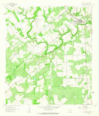
1961 · Falls City
USGS Topo · 1:24,000