2020s Maps of Atascosa County, Texas
Explore 30 historic maps of Atascosa County from the 2020s. These maps offer a rare glimpse into what life looked like during the 2020s — showing old roads, neighborhoods, homes, and landmarks that have changed or disappeared over time.
Whether you're researching your family's past, planning a metal detecting trip, or studying how Atascosa County's landscape evolved across the 2020s, these high-resolution maps are a powerful tool for exploring the history of this region.
- Focus on a specific era: All maps on this page are from the 2020s, giving you a focused view of this time period.
- See what’s changed: Compare century-old streets, trails, and buildings to today's modern landscape using overlays and satellite layers.
- Research with precision: Use these maps for genealogy, historical research, land use analysis, or educational projects.
- View, download, or print: Maps are fully viewable online in high resolution, and can be downloaded or printed for your own records.
Start exploring Atascosa County's history through authentic maps from the 2020s. This is your window into the past.
Atascosa County, TX maps
(30)- 2022 Map of Three Oaks, 2022 Print
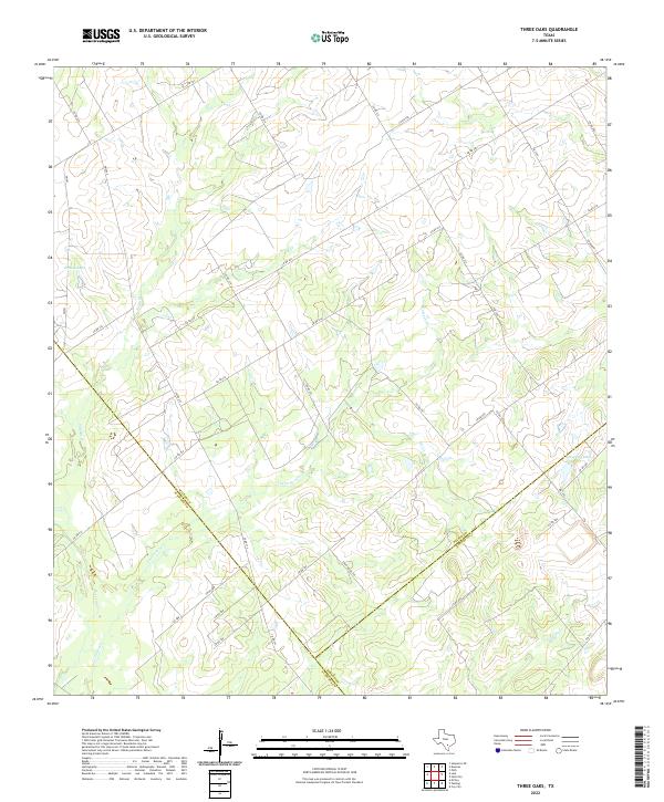 2022 Three Oaks2022 Print · USGSThe rural crossroads where Wilson, Atascosa, and Karnes counties meet are captured in this recent survey of South Texas ranch land. Genealogists and land researchers can trace property boundaries along CO RD 207 and drainage basins like Grimes Lake and Tessman Lake.
 - 2022 Map of Fashing, 2022 Print
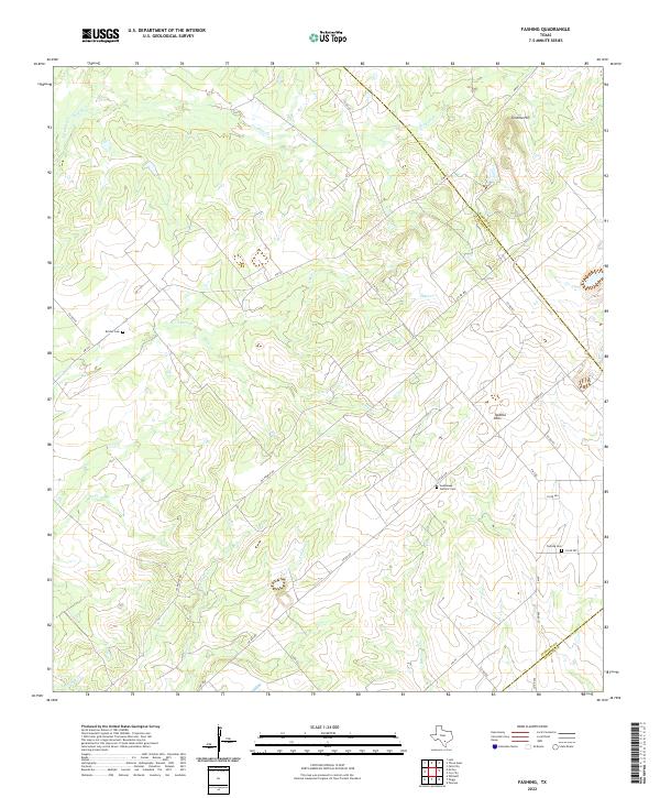 2022 Fashing2022 Print · USGSThe brush country at the junction of Atascosa, Karnes, and Live Oak counties is captured here in its modern rural character. Genealogists and local researchers can locate family landmarks such as Fashing Cem, Brister Cem, and the high ground of Tordillo Hill.
 - 2022 Map of Jourdanton, 2022 Print
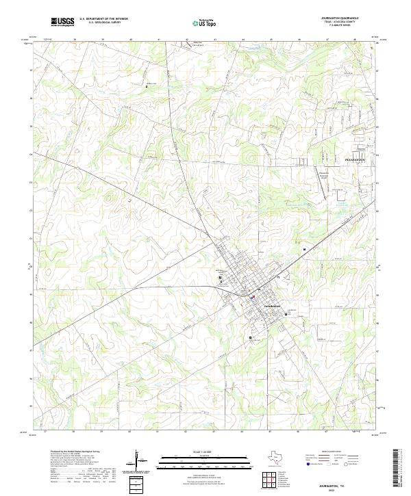 2022 Jourdanton2022 Print · USGSJourdanton and Pleasanton sit at the heart of this Atascosa County landscape during its recent period of growth. Genealogists and historians can locate family burial plots at Jourdanton City Cem or San Jose Cem and trace the civic hub near the Atascosa County Courthouse.
 - 2022 Map of Charlotte, 2022 Print
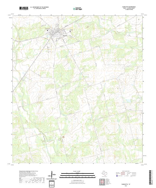 2022 Charlotte2022 Print · USGSIn the heart of Atascosa County, the community of Charlotte serves as a key settlement surrounded by the south Texas brush country. Genealogists can trace family history at the Charlotte City Cem or the Community Cem of Charlotte and follow the path of Lagunillas Cr.
 - 2022 Map of Coy City, 2022 Print
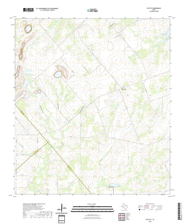 2022 Coy City2022 Print · USGSCoy City and the tri-county corner of Karnes, Atascosa, and Live Oak are captured here in the early 2020s. Researchers can trace the drainage patterns of San Christoval Creek or locate landmarks like the San Christoval Ranch Airport and Weddington Lake Number 1.
 - 2022 Map of Goldfinch, 2022 Print
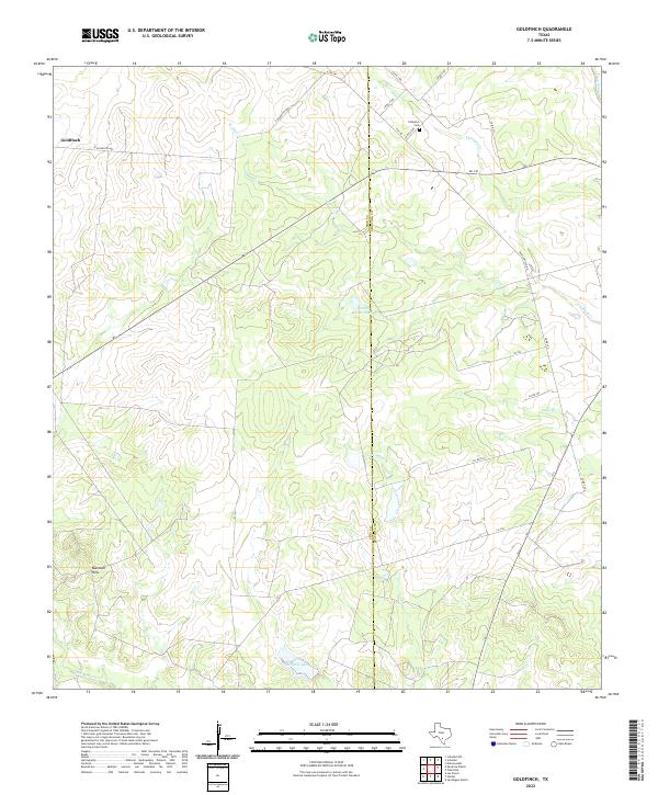 2022 Goldfinch2022 Print · USGSSouth Texas ranching country comes into focus at the Frio and Atascosa county line during the early twenty-first century. Researchers can trace rural cemetery sites like Chiltipin Cem, the small settlement of Goldfinch, and landmarks like Miracle Lake.
 - 2022 Map of McCoy, 2022 Print
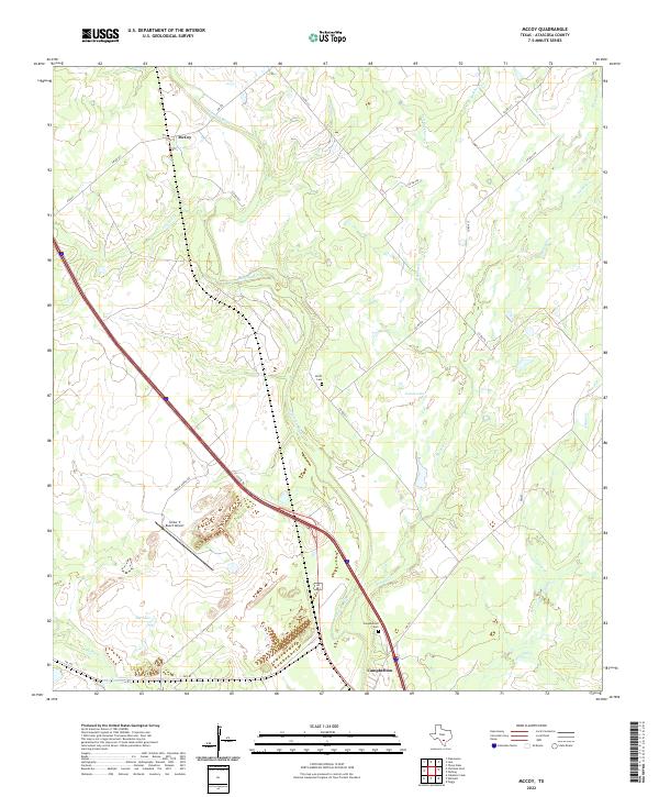 2022 McCoy2022 Print · USGSAtascosa County ranch lands and river bottoms are captured here in the early twenty-first century. Researchers can trace family landmarks and local transit routes from Campbellton to McCoy, including the Smith Cem and the winding Atascosa River.
 - 2022 Map of Dobrowolski, 2022 Print
 2022 Dobrowolski2022 Print · USGSAtascosa County ranchlands are documented here in the early twenty-first century, centered on the settlement of Dobrowolski. Genealogists can trace local family lineages through several rural sites like Garcia Cem, Salazar Cem, and Rodriguez Cem.
 - 2022 Map of Hindes, 2022 Print
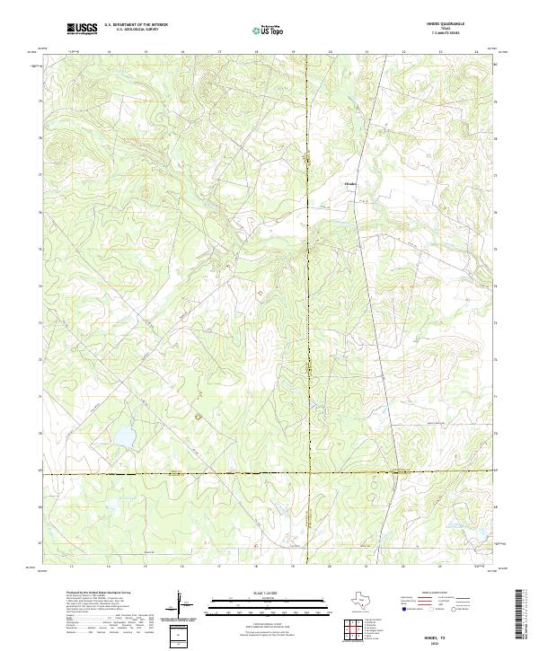 2022 Hindes2022 Print · USGSThe ranchlands surrounding Hindes appear in this recent survey at the meeting point of four South Texas counties. Local historians can trace the creek-fed landscape of San Miguel Cr and locate water features like McNeel Lake and Jess McNeel Lake Number 3.
 - 2022 Map of Schattel, 2022 Print
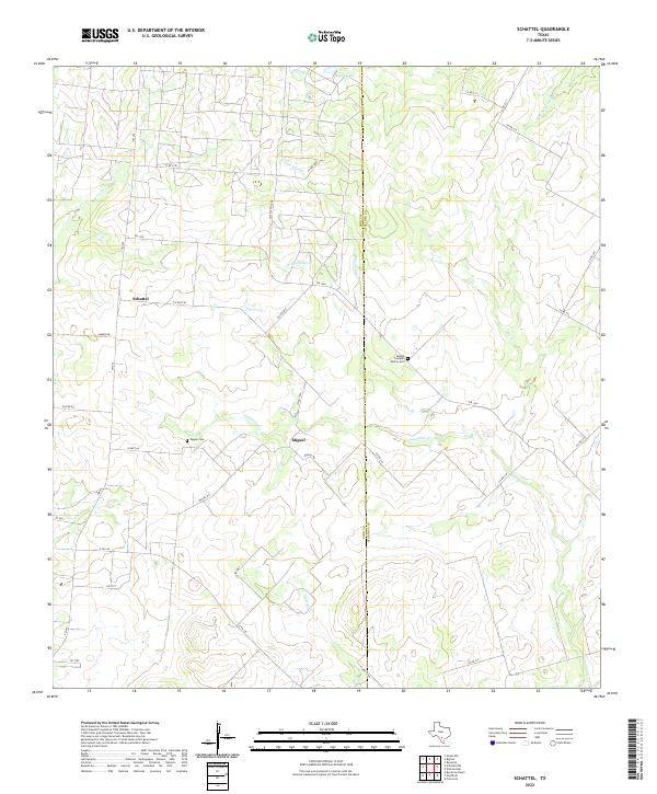 2022 Schattel2022 Print · USGSThe South Texas brush country at the Frio and Atascosa county line is captured here, showing a landscape of scattered ranching settlements and family-named landmarks. Trace genealogy at the Adolph Cumpian Family Cem or follow the waters of Kyote Lake and Lagunillas Cr.
 - 2022 Map of Christine East, 2022 Print
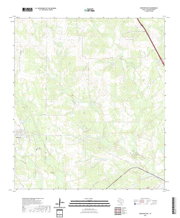 2022 Christine East2022 Print · USGSNear the town of Christine during the early 2020s, this portion of Atascosa County shows a rural landscape shaped by seasonal watercourses and local ranch roads. Researchers can locate the Bautista Cem and trace the paths of Metate Cr and Christine Cr through the brush country.
 - 2022 Map of San Miguel Ranch, 2022 Print
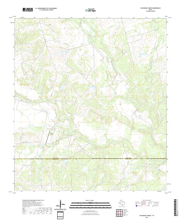 2022 San Miguel Ranch2022 Print · USGSThe ranchlands of the Atascosa and McMullen county line are captured here in the early twenty-first century, showing a landscape defined by cattle operations and creek beds. Researchers can locate private aviation sites like El Tesoro Ranch Airport and named water features including Hindes Lake and San Miguel Cr.
 - 2022 Map of Caballos Creek, 2022 Print
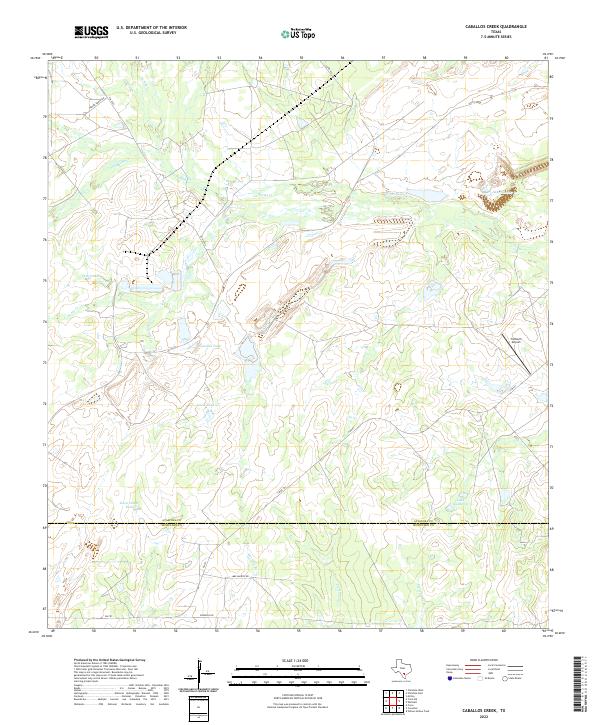 2022 Caballos Creek2022 Print · USGSAtascosa and McMullen counties meet in this South Texas ranching corridor during the early twenty-first century. Family history and land use can be traced through sites like Peeler Ranch Rd, 74 Ranch Airport, and the numerous cattle tanks like Lewis Tank.
 - 2022 Map of Christine West, 2022 Print
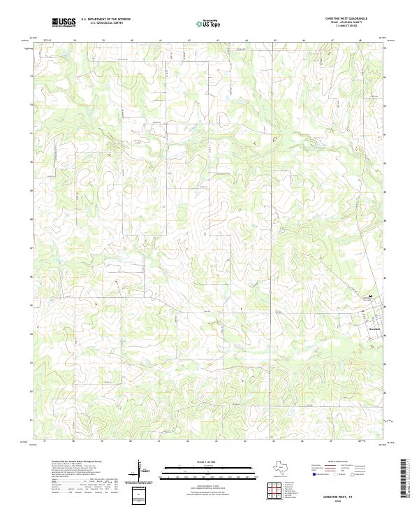 2022 Christine West2022 Print · USGSThe town of Christine and its surrounding ranch lands are captured here in the early 2020s. Researchers can trace the local street grid near the Christine City Cem or follow the drainage of Turkey Cr and La Parita Cr.
 - 2022 Map of Leal, 2022 Print
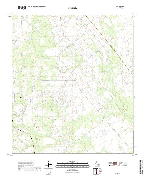 2022 Leal2022 Print · USGSThe Atascosa and Wilson county line comes to life in this recent survey of South Texas ranch land. Genealogists and researchers can locate the Leal Cem and trace the paths of Lucas Cr and the Atascosa River.
 - 2022 Map of Peggy, 2022 Print
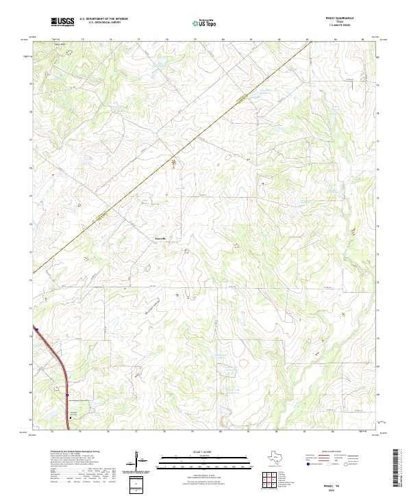 2022 Peggy2022 Print · USGSCrossing the Atascosa and Live Oak county line in the 2020s, this area shows a landscape of family-owned ranch land and managed water. Researchers can trace local history at Pleasant Hill Cem and identify historical landholdings near Esseville and Lillian Esse Lake.
 - 2022 Map of Whitsett, 2022 Print
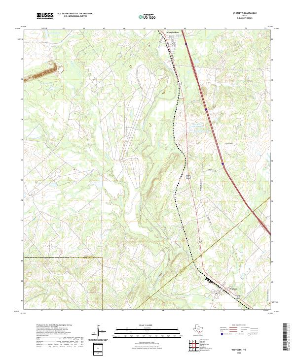 2022 Whitsett2022 Print · USGSIn the Brush Country of South Texas, this contemporary survey captures the rural crossroads and ranching lands of Atascosa County. Genealogists and local historians can trace the street grids of Campbellton and Whitsett or locate water sources like Tom Ranch Lake Number 1 and the Atascosa River.
 - 2022 Map of Cross NE, 2022 Print
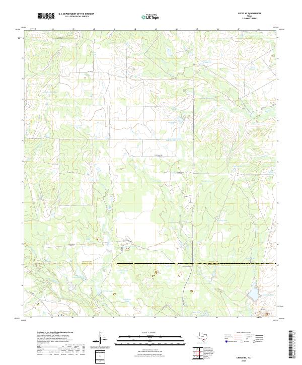 2022 Cross NE2022 Print · USGSThe ranching landscape along the border of Atascosa and McMullen counties comes into focus in this contemporary survey of South Texas water management. Researchers can trace the network of rural roads and family-named water features like Strickland Tank, Peeler Lake Number 1, and San Miguel Cr.
 - 2022 Map of Willow Hollow Tank, 2022 Print
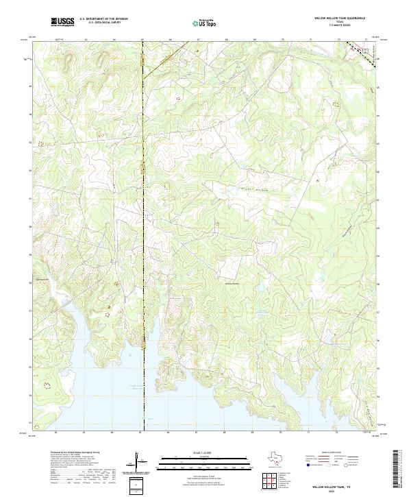 2022 Willow Hollow Tank2022 Print · USGSThe brush country of South Texas at the MCMULLEN and LIVE OAK county line is defined by its modern water management and cattle-ranching landscape. Genealogists and historians can trace local family-named landmarks like Raschke Lake and Ursher Hollow.
 - 2022 Map of Pleasanton, 2022 Print
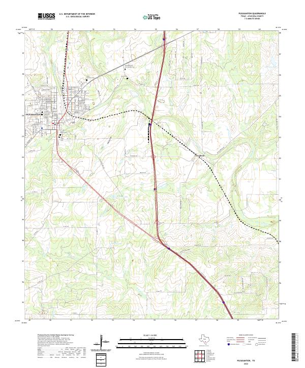 2022 Pleasanton2022 Print · USGSPleasanton and the Atascosa River valley appear here in the early 2020s, showcasing a landscape shaped by both modern growth and deep-rooted Texas history. Genealogists can locate numerous local burial sites including Sotelo Cem, San Ysidro Cem, and Saint Andrews Cem.
 - 2022 Map of Rossville, 2022 Print
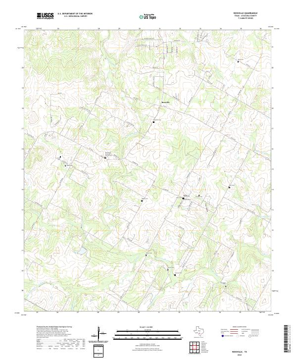 2022 Rossville2022 Print · USGSModern-day Atascosa County retains its rural ranching character along the banks of the Atascosa River. Genealogists and historians can trace numerous family burial sites, from the Rossville Cem and Jimenez Cem to the Bender Family Cem.
 - 2022 Map of Losoya, 2022 Print
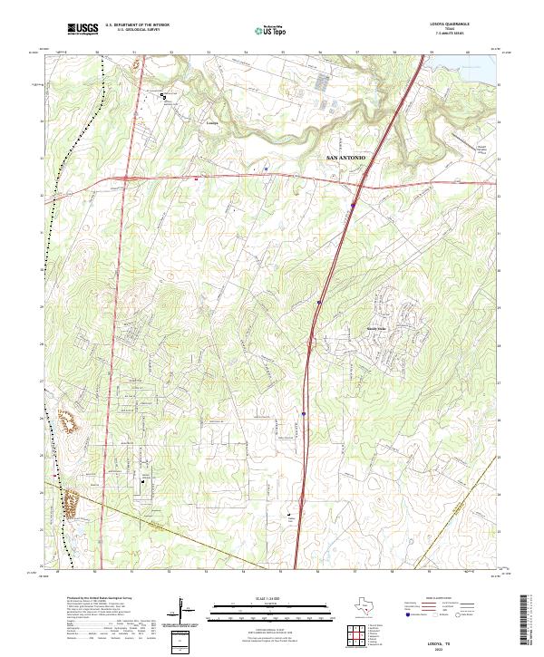 2022 Losoya2022 Print · USGSIn the southern reaches of Bexar County during the early twenty-first century, the river valleys and rural settlements maintain a distinct identity. Genealogists and historians can trace local family footprints at Herrera Cem, Barney Williams Cem, and along the banks of the Medina River.
 - 2022 Map of Poteet, 2022 Print
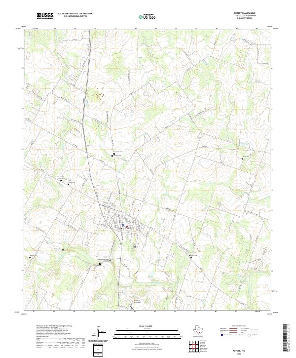 2022 Poteet2022 Print · USGSAtascosa County's strawberry capital and surrounding farm country are captured here in the early twenty-first century. Genealogists and historians can trace numerous family burial sites, including San Pedro Cem, Shiloh Cem, and Madre Dolorosa Cem near the Atascosa River.
 - 2022 Map of Thelma, 2022 Print
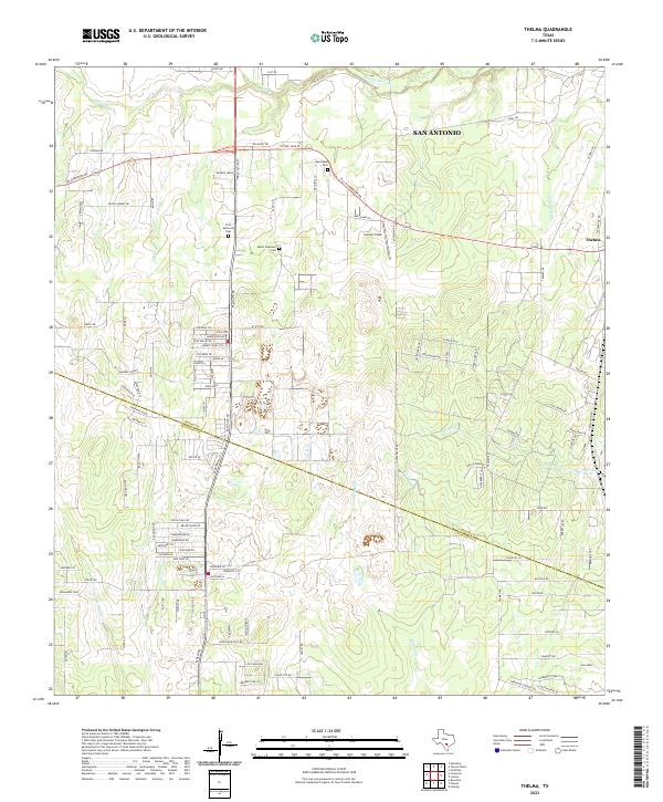 2022 Thelma2022 Print · USGSBexar and Atascosa Counties meet south of San Antonio in the 2020s, where rural ranch lands are increasingly intersected by modern residential development. Researchers can trace local lineage at First Memorial Cemetery and Oak Island Cemetery or follow the winding course of the Medina River.
 - 2022 Map of Somerset, 2022 Print
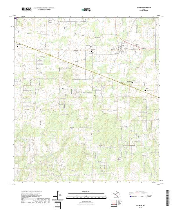 2022 Somerset2022 Print · USGSSomerset and the South Texas countryside appear here in the early 2020s, straddling the line of Bexar and Atascosa counties. Family historians can locate numerous burial sites including Barker Cem, Old Rock Cem, and Saint Marys Cem near the Atascosa River.
Showing maps 1-25 of 30
Top cities of Atascosa County
- Pleasanton historical maps
- Jourdanton historical maps
- Poteet historical maps
- Charlotte historical maps
- Leming historical maps
- Christine historical maps
See more
Frequently asked questions
- What are the different types of historical maps available for Atascosa County?
- What is the oldest map of Atascosa County?
- Where can I purchase historical maps of Atascosa County for my home or office?
- Where can I download high-res historical maps of Atascosa County?
- Are there historical topographic maps available for Atascosa County?
- Is there historical aerial imagery available for Atascosa County?
- Where are historical maps of Atascosa County sourced from?