2010s Maps of Atascosa County, Texas
Explore 120 historic maps of Atascosa County from the 2010s. These maps offer a rare glimpse into what life looked like during the 2010s — showing old roads, neighborhoods, homes, and landmarks that have changed or disappeared over time.
Whether you're researching your family's past, planning a metal detecting trip, or studying how Atascosa County's landscape evolved across the 2010s, these high-resolution maps are a powerful tool for exploring the history of this region.
- Focus on a specific era: All maps on this page are from the 2010s, giving you a focused view of this time period.
- See what’s changed: Compare century-old streets, trails, and buildings to today's modern landscape using overlays and satellite layers.
- Research with precision: Use these maps for genealogy, historical research, land use analysis, or educational projects.
- View, download, or print: Maps are fully viewable online in high resolution, and can be downloaded or printed for your own records.
Start exploring Atascosa County's history through authentic maps from the 2010s. This is your window into the past.
Atascosa County, TX maps
(120)- 2010 Map of La Coste, 2010 Print
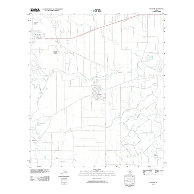 2010 La Coste2010 Print · USGSMedina County comes into focus in this 2010 survey, centered on the Alsatian heritage of Castroville and the rail siding at La Coste. Genealogists can trace family landmarks like St Louis Cem and Castroville Cem or follow the path of the Southern Pacific railroad.
 - 2010 Map of Bigfoot, 2010 Print
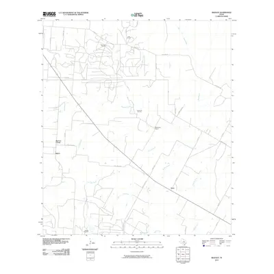 2010 Bigfoot2010 Print · USGSBigfoot and the surrounding Texas brush country are shown here in the early twenty-first century as a landscape of ranching and oil extraction. Researchers can locate family landmarks like Griffin Cemetery, trace the Beer Creek Oil Field, and follow old routes such as Old Devine Rd.
 - 2010 Map of Lytle, 2010 Print
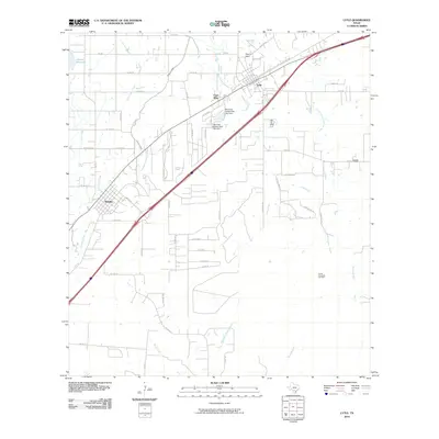 2010 Lytle2010 Print · USGSLytle and Natalia are captured here during a period of steady rural growth in South Texas. Local historians can trace the intersection of water and industry, from the Natalia Canal to the Coal Mine and Verna-Anacacho Oil Field.
 - 2010 Map of Hindes, 2010 Print
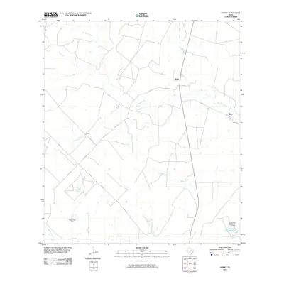 2010 Hindes2010 Print · USGSSouthern Frio County at the turn of the millennium remains a landscape of ranching and seasonal creeks. Researchers can trace land tracts near the settlements of Hindes and Orelia or locate water infrastructure like the McNeel Lake Dam.
 - 2010 Map of Schattel, 2010 Print
 2010 Schattel2010 Print · USGSFrio County ranch lands and brush country appear here in the early twenty-first century as oil extraction and rural life converge. Researchers can locate the Miguel Cemetery and trace the paths of Lagunillas Creek and the Kyote Oil Field.
 - 2010 Map of Goldfinch, 2010 Print
 2010 Goldfinch2010 Print · USGSAtascosa County ranching and energy land is captured here during the first decade of the millennium. Researchers can trace family sites near Luna Cemetery or examine the rural infrastructure around Goldfinch, Davis, and the West Charlotte Oil Field.
 - 2010 Map of Charlotte, 2010 Print
 2010 Charlotte2010 Print · USGSThe rural landscape around Charlotte is shown here in the early twenty-first century, when the local economy was anchored by ranching and the Charlotte Oil Field. Genealogists and historians can trace the road networks and water features that defined local property, from Marshall Lake to the various branches of Lagunillas Creek.
 - 2010 Map of Jourdanton, 2010 Print
 2010 Jourdanton2010 Print · USGSThe Atascosa County seat of Jourdanton is shown in the early twenty-first century, surrounded by the creeks and ranch lands of South Texas. Researchers can trace local heritage through landmarks like Hilburn Cemetery, Scheidt Lake, and the Atascosa River.
 - 2010 Map of Poteet, 2010 Print
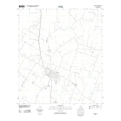 2010 Poteet2010 Print · USGSSouth Texas agricultural life near the turn of the twenty-first century is centered on the town of Poteet. Researchers can trace numerous burial sites including San Pedro Cemetery and Willborn Cemetery, or locate the Maurice Dauwe Farm Airport.
 - 2010 Map of McCoy, 2010 Print
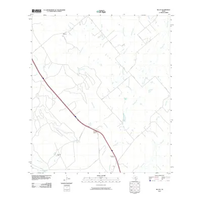 2010 McCoy2010 Print · USGSAtascosa County ranching country is captured here in the early 2000s, where the river and local FM roads dictate the layout of the land. Researchers can trace family history at Campbellton Cemetery or locate landmarks like the Arrow 'S' Ranch Airport and McCoy.
 - 2010 Map of Somerset, 2010 Print
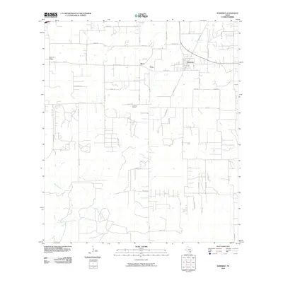 2010 Somerset2010 Print · USGSSomerset and southern Bexar County appear here in the early twenty-first century as a landscape of rural ranching and active energy production. Researchers can trace family roots through sites like Bexar Cemetery and the Somerset Oil Field.
 - 2010 Map of Rossville, 2010 Print
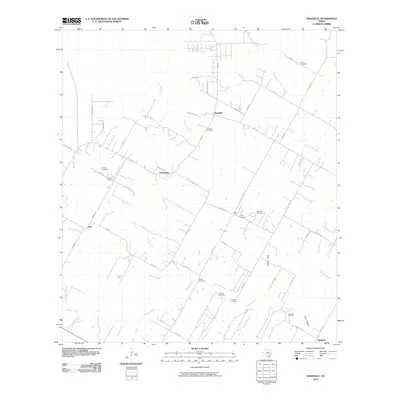 2010 Rossville2010 Print · USGSAtascosa County is shown here in the early twenty-first century, centered on the river-fed settlements of Rossville and Anchorage. Genealogists can locate over a dozen family burial sites, including the Jimenez Cemetery, Layer Cemetery, and Vanness Cemetery.
 - 2010 Map of Leming, 2010 Print
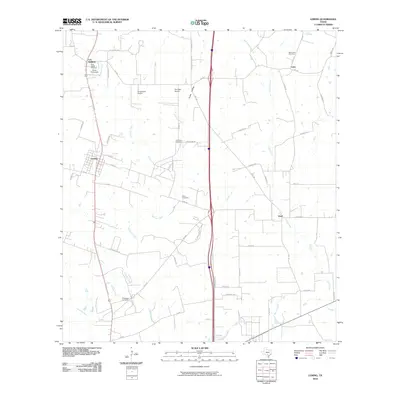 2010 Leming2010 Print · USGSAtascosa County settlement patterns are preserved here in the first decade of the 2000s, showing a landscape defined by small communities and family acreage. Genealogists can locate several remote burial sites such as Tuminson Cemetery and Saint Luke Cemetery.
 - 2010 Map of Thelma, 2010 Print
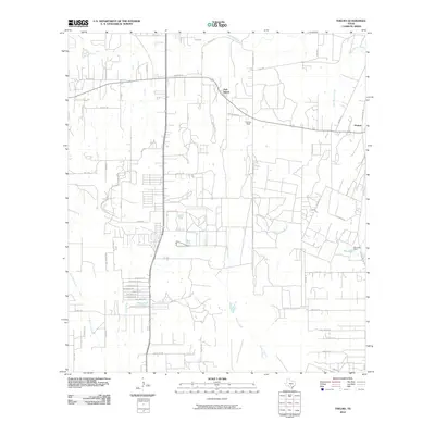 2010 Thelma2010 Print · USGSSouth Texas near the Medina River is captured in the early twenty-first century as rural homesteads and newer residential pockets coalesce. Researchers can trace the layout of Oak Island, the airfield at Cannon Field, and water features like Pax Lake.
 - 2010 Map of Losoya, 2010 Print
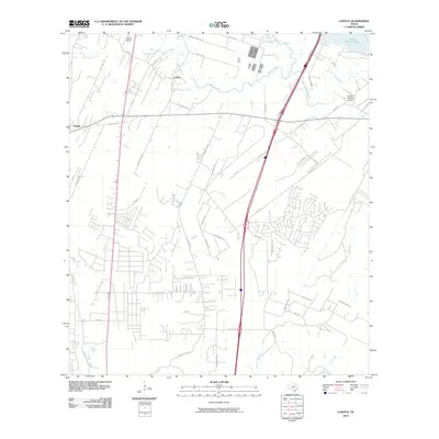 2010 Losoya2010 Print · USGSBexar County at the start of the 2010s shows a landscape defined by river confluences and rural settlements south of San Antonio. Researchers can trace land development and water features from Victor Braunig Lake to local landmarks like Triple R Airport and Losoya.
 - 2010 Map of Dobrowolski, 2010 Print
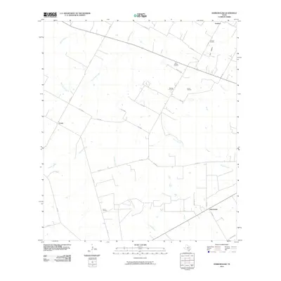 2010 Dobrowolski2010 Print · USGSAtascosa County as it appeared in the early 21st century reveals a deep-rooted rural community organized around family ranching and heritage sites. Genealogists can trace local roots through numerous burial grounds like Saint Williams Cemetery, Garcia Cemetery, and the eponymous settlement of Dobrowolski.
 - 2010 Map of Christine East, 2010 Print
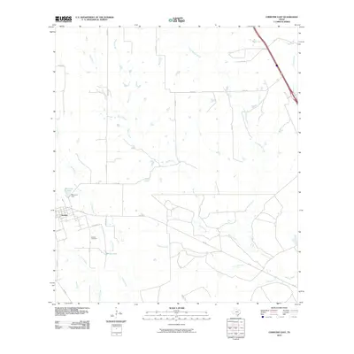 2010 Christine East2010 Print · USGSAtascosa County ranching lands and small-town infrastructure are captured here during the first decade of the millennium. Researchers can trace local lineage at Bautista Cemetery and map the water resources near Christine including McLerran Lake and Brown Lake.
 - 2010 Map of Leal, 2010 Print
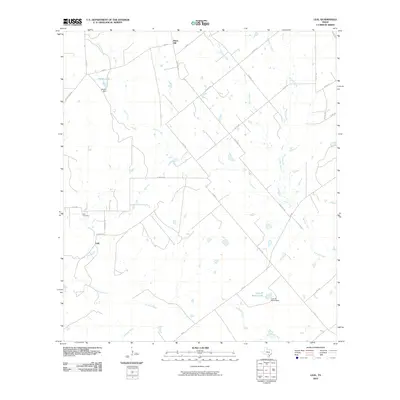 2010 Leal2010 Print · USGSLeal and the Atascosa River valley appear here in the early twenty-first century as a landscape of established ranches and creek-fed bottomlands. Genealogists and local historians can trace family-named sites such as Leal Cemetery, Heinen Lake, and the Lazy JP Ranch Lake.
 - 2010 Map of Pleasanton, 2010 Print
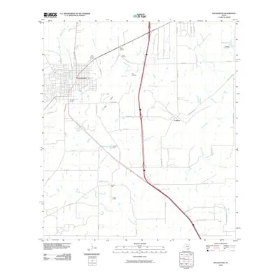 2010 Pleasanton2010 Print · USGSAtascosa County as it appeared a decade into the new millennium shows a blend of growing civic centers and traditional oil field activity. Local historians can trace family roots at Saint Andrews Cemetery or locate the rural settlement of Coughran near the banks of the Atascosa River.
 - 2010 Map of Saspamco SE, 2010 Print
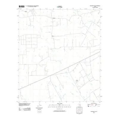 2010 Saspamco SE2010 Print · USGSFairview and the surrounding Wilson County countryside are captured here in the early twenty-first century, showing a landscape defined by ranching and private aviation. Researchers can locate the Fairview Cemetery and trace creek beds like Borrego Creek or Prieto Creek.
 - 2010 Map of Christine West, 2010 Print
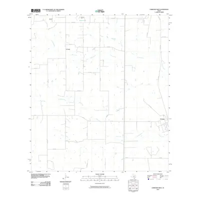 2010 Christine West2010 Print · USGSAtascosa County ranch land and oil country are captured here in the decade following the turn of the millennium. Researchers can trace rural property access and water features like Schorsch Lake or the industrial footprint of the Jourdanton Oil Field near Christine.
 - 2010 Map of Coy City, 2010 Print
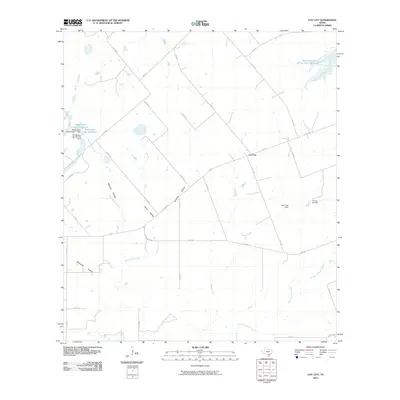 2010 Coy City2010 Print · USGSCoy City and the surrounding Karnes County ranch lands are documented here in the early twenty-first century. Researchers can trace the local energy economy at the Coy City Gas Field and identify family-named landmarks like Weddington Lake Number 1 and Mexican Hollow.
 - 2010 Map of Fashing, 2010 Print
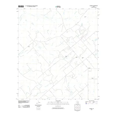 2010 Fashing2010 Print · USGSFashing and the South Texas brush country are shown here in the early twenty-first century as centers of energy production. Genealogists and researchers can trace local family landmarks like Brister Cemetery, Fashing Cemetery, and the Weigang Oil Field.
 - 2010 Map of Three Oaks, 2010 Print
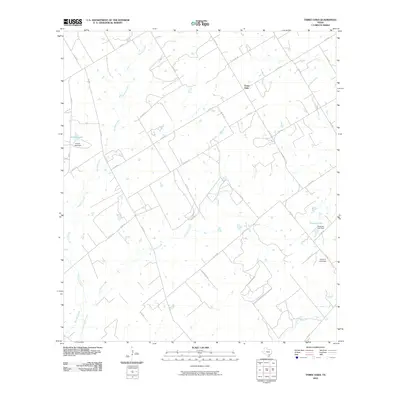 2010 Three Oaks2010 Print · USGSWilson County rural life is captured in this survey of the area around Three Oaks during the early 2000s. Researchers can trace land use through prominent water features and dams, such as Grimes Lake, Tessman Lake, and the uniquely named Uranium Lake Dam.
 - 2010 Map of San Miguel Ranch, 2010 Print
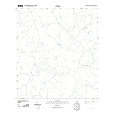 2010 San Miguel Ranch2010 Print · USGSAtascosa County ranching country is mapped here in the early twenty-first century, showing a landscape defined by water management and large landholdings. Genealogists and local historians can trace family-named landmarks and water sources like San Miguel Ranch, Hindes Lake, and Erwin Dam.
Showing maps 1-25 of 120
Top cities of Atascosa County
- Pleasanton historical maps
- Jourdanton historical maps
- Poteet historical maps
- Charlotte historical maps
- Leming historical maps
- Christine historical maps
See more
Frequently asked questions
- What are the different types of historical maps available for Atascosa County?
- What is the oldest map of Atascosa County?
- Where can I purchase historical maps of Atascosa County for my home or office?
- Where can I download high-res historical maps of Atascosa County?
- Are there historical topographic maps available for Atascosa County?
- Is there historical aerial imagery available for Atascosa County?
- Where are historical maps of Atascosa County sourced from?