Old Maps of Wallis, Texas
Explore 16 old maps of Wallis, spanning from 1953 to today. These high-resolution historic maps reveal how streets, neighborhoods, landmarks, and natural features evolved over time — perfect for genealogy, metal detecting, research, and local history exploration.
What you can do with these maps:
- See how Wallis changed over time: Compare historical maps to modern-day views to trace roads, homesites, rail lines & more.
- View detailed metadata: Each map includes creators, publishers, year, scale, and archive source.
- Overlay maps with satellite & LiDAR: Visualize the past alongside modern tools to explore terrain & human change.
- Trusted historical sources: Maps sourced from the USGS, Library of Congress, and other archives.
- Access maps your way: View online, download high-res files, or order prints for personal or research use.
Start exploring old maps of Wallis to uncover forgotten places, hidden landmarks, and the deep history beneath your feet.
Wallis, TX maps
(16)- 1953 Map of Seguin, 1965 Print
 1953 Seguin1965 Print · USGSSouth Texas in the early fifties shows a thriving river-and-rail economy across the Guadalupe and Colorado basins. Genealogists and historians can trace rail routes like the Southern Pacific through Seguin, locate oil wells, or find the Gary AAF near San Marcos.4 unique versions available
 - 1956 Map of Wallis
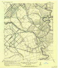 1956 Wallis1956 Print · USGSThe Brazos and San Bernard rivers dominate this coastal prairie landscape during the early twentieth century. Trace family roots and vanished rail stops through Wallis, Chesterville, and Lissie along the Gulf Colorado and Santa Fe Railway.
 - 1958 Map of Seguin
 1958 Seguin1958 Print · USGSSouth Texas in the late fifties was a network of river-valley settlements and active oilfields tied together by major rail lines. Genealogists and historians can trace family-named sites across Rabb Prairie, locate the Behring Store, or follow the Southern Pacific through Schulenburg.
 - 1960 Map of Wallis, 1961 Print
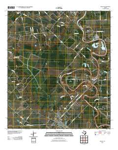
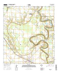
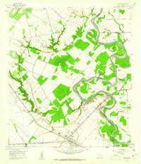 1960 Wallis1961 Print · USGSThe Brazos River bottomlands in the early sixties reveal a landscape shaped by rail junctions and small farming communities. Genealogists can trace family roots through sites like Hartville Cem, Mount Olive Ch, and the intersection of two major railroads in Wallis.3 unique versions available
 - 1960 Map of East Bernard, 1961 Print
 1960 East Bernard1961 Print · USGSCoastal prairie life in the early sixties centers on the junction of the San Bernard River and the Southern Pacific rail line. Genealogists can trace family footprints at Guardian Angel Cem, National Cem, and the rural Bernard Prairie Sch.3 unique versions available
 - 1985 Map of Eagle Lake
 1985 Eagle Lake1985 Print · USGSSoutheast Texas in the mid-eighties shows a landscape defined by the Colorado River and a booming energy sector. Genealogists and historians can trace rail-tied towns like La Grange and Fayetteville or locate the Frelsburg Oil Field and Stephen F Austin State Park.2 unique versions available
 - 2010 Map of East Bernard, 2010 Print
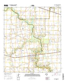
 2010 East Bernard2010 Print · USGSCovers Wallis, including East Bernard, Fort Bend County, and other nearby areas
 - 2010 Map of Wallis, 2010 Print
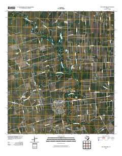
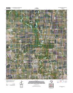
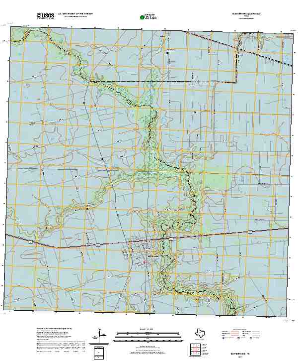
 2010 Wallis2010 Print · USGSCovers Wallis, including Sealy, Simonton, and other nearby areas
 - 2013 Map of Wallis, 2013 Print
 2013 Wallis2013 Print · USGSCovers Wallis, including Sealy, Simonton, and other nearby areas
 - 2013 Map of East Bernard, 2013 Print
 2013 East Bernard2013 Print · USGSCovers Wallis, including East Bernard, Fort Bend County, and other nearby areas
 - 2016 Map of East Bernard, 2016 Print
 2016 East Bernard2016 Print · USGSCovers Wallis, including East Bernard, Fort Bend County, and other nearby areas
 - 2016 Map of Wallis, 2016 Print
 2016 Wallis2016 Print · USGSCovers Wallis, including Sealy, Simonton, and other nearby areas
 - 2019 Map of East Bernard, 2019 Print
 2019 East Bernard2019 Print · USGSCovers Wallis, including East Bernard, Fort Bend County, and other nearby areas
 - 2019 Map of Wallis, 2019 Print
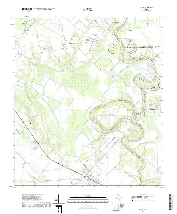
 2019 Wallis2019 Print · USGSCovers Wallis, including Sealy, Simonton, and other nearby areas
 - 2022 Map of Wallis, 2022 Print
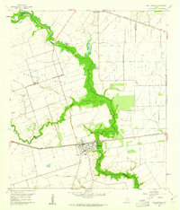
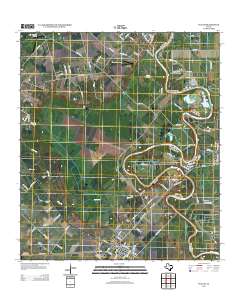
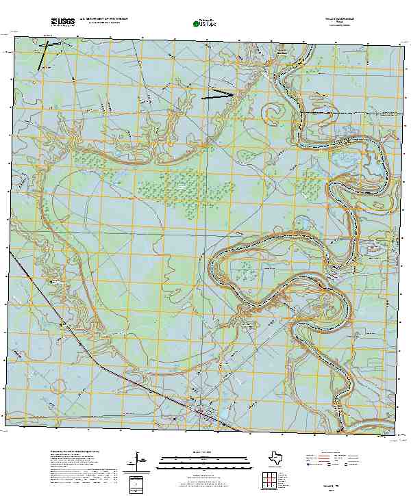
 2022 Wallis2022 Print · USGSThe Brazos River valley south of Sealy is shown in detail during its modern era of ranching and river-bend farming. Genealogists can trace family roots through several local burial grounds, such as Wallis Cem, El Pleasant Cem, and Hillside Cem.
 - 2022 Map of East Bernard, 2022 Print
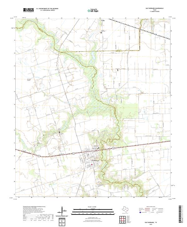 2022 East Bernard2022 Print · USGSThe coastal prairies of Wharton and Austin counties are shown in detail as they appeared in the early 2020s. Researchers can locate numerous local landmarks including Czech National Cem, the San Bernard River, and Bernard Prairie.
End of results
Showing maps 1-16 of 16
Top cities near Wallis
- Houston historical maps
- Rosenberg historical maps
- Katy historical maps
- Sealy historical maps
- Brookshire historical maps
- Needville historical maps
See more
Frequently asked questions
- What are the different types of historical maps available for Wallis?
- What is the oldest map of Wallis?
- Where can I purchase historical maps of Wallis for my home or office?
- Where can I download high-res historical maps of Wallis?
- Are there historical topographic maps available for Wallis?
- Is there historical aerial imagery available for Wallis?
- Where are historical maps of Wallis sourced from?