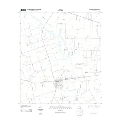
2013 Map of East Bernard
USGS Topo · Published 2013About this map
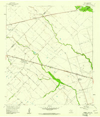
East Bernard serves as the central hub of this coastal prairie landscape, where the town's street grid meets the winding course of the San Bernard River. The area's cultural heritage is clearly visible through its documented burial grounds, including the Czech National Cem and Krasna Cem, which point to the specific European immigrant communities that settled these plains. The terrain is characterized by the Bernard Prairie and a network of drainage features like Middle Bernard Cr, Elm Slough, and Penny Lake. Transport patterns are defined by a mix of established state roads and a dense grid of local routes such as Parma-Brandt Ln and Svoboda Rd. The survey also captures smaller watercourses including Eagle Br, Turkey Cr, and Britt Br, illustrating how the agricultural parcels are carved out around the natural hydrology of the river basin.
Find a feature on this map
108 named features on this map. Tap any name to fly to it.
Don’t see what you’re looking for? This feature index may not catch every label — zoom into the map to look around manually.
Map Details
Editions of this 2013 East Bernard Map
This is the sole edition of this map. No revisions or reprints were ever made.
Other maps of this area
1950 · Houston
USGS Topo · 1:250,000
1952 · Egypt
USGS Topo · 1:24,000
1953 · Kendleton
USGS Topo · 1:24,000
1953 · Hungerford
USGS Topo · 1:24,000

1953 · Seguin
USGS Topo · 1:250,000
1955 · Richmond
USGS Topo · 1:62,500
1956 · Wallis
USGS Topo · 1:62,500
1956 · Houston
USGS Topo · 1:250,000

1958 · Seguin
USGS Topo · 1:250,000
1960 · Lissie
USGS Topo · 1:24,000