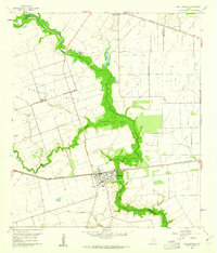
1960 Map of East Bernard
USGS Topo · Published 1961About this map
The San Bernard River snakes through the heart of this landscape, carving a deep green corridor across the Bernard Prairie. Around 1960, the town of East Bernard served as a key rail junction and agricultural hub, situated where the Texas and New Orleans (Southern Pacific) railroad intersects the river's path. The map reveals a community deeply rooted in its local institutions, from the Elem Sch and hospital to the outlying Bernard Prairie Sch.
Find a feature on this map
29 named features on this map. Tap any name to fly to it.
Don’t see what you’re looking for? This feature index may not catch every label — zoom into the map to look around manually.
Map Details
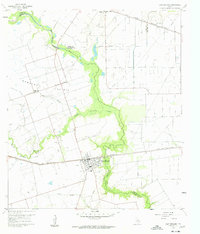
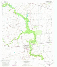
Editions of this 1960 East Bernard Map
3 editions found
Other maps of this area

1950 · Houston
USGS Topo · 1:250,000

1952 · Egypt
USGS Topo · 1:24,000

1953 · Kendleton
USGS Topo · 1:24,000

1953 · Hungerford
USGS Topo · 1:24,000

1953 · Seguin
USGS Topo · 1:250,000

1955 · Richmond
USGS Topo · 1:62,500

1956 · Wallis
USGS Topo · 1:62,500

1956 · Houston
USGS Topo · 1:250,000

1958 · Seguin
USGS Topo · 1:250,000

1960 · Lissie
USGS Topo · 1:24,000