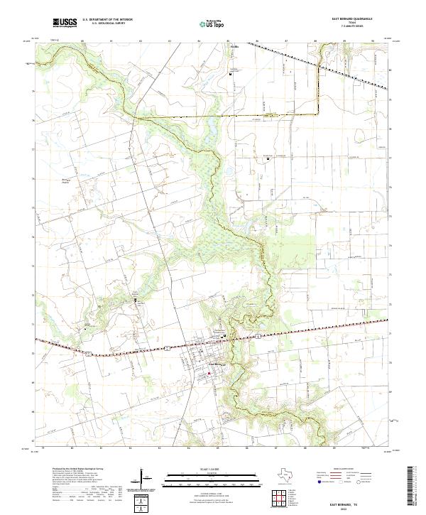
2022 Map of East Bernard
USGS Topo · Published 2022About this map
The San Bernard River and Middle Bernard Cr form the defining hydrological framework for this region, winding through the flat expanse of Bernard Prairie. The landscape reflects a dense history of Central European settlement, notably represented by the Czech National Cem and San Francisco Cem. The map illustrates a transitional landscape where small watercourses like Eagle Br and Elm Slough cross fertile plains, supporting the agricultural communities of Wallis and East Bernard. Local community centers are anchored by numerous historic burial grounds, including the Holy Cross Catholic Cem and Guardian Angel Cem, which serve as vital markers for genealogical research in this part of Wharton and Austin counties. The intricate network of local roads, such as Svoboda Rd and Co Rd 264, traces the early division of land and the connection between these rural settlements.
Find a feature on this map
115 named features on this map. Tap any name to fly to it.
Don’t see what you’re looking for? This feature index may not catch every label — zoom into the map to look around manually.
Map Details
Editions of this 2022 East Bernard Map
This is the sole edition of this map. No revisions or reprints were ever made.
Other maps of this area

1950 · Houston
USGS Topo · 1:250,000

1952 · Egypt
USGS Topo · 1:24,000

1953 · Kendleton
USGS Topo · 1:24,000

1953 · Hungerford
USGS Topo · 1:24,000

1953 · Seguin
USGS Topo · 1:250,000

1955 · Richmond
USGS Topo · 1:62,500

1956 · Wallis
USGS Topo · 1:62,500

1956 · Houston
USGS Topo · 1:250,000

1958 · Seguin
USGS Topo · 1:250,000

1960 · Lissie
USGS Topo · 1:24,000