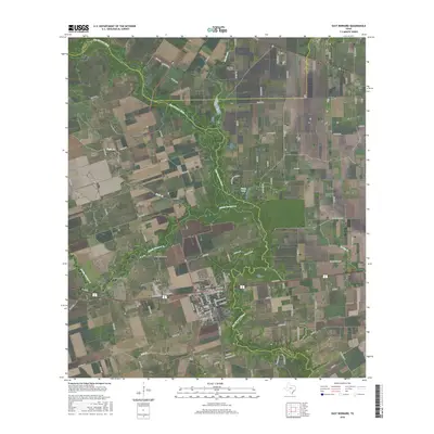
2016 Map of East Bernard
USGS Topo · Published 2016About this map
East Bernard and the northern settlement of Wallis anchor this landscape along the winding course of the San Bernard River. The map reveals a community deeply rooted in its heritage, evidenced by the concentration of cemeteries such as the Czech National Cem and Krasna Cem that speak to the ancestral settlement patterns of Wharton and Austin counties. The terrain transitions from the open stretches of Bernard Prairie into the wooded riparian corridors following Middle Bernard Cr and Britt Br.
Find a feature on this map
103 named features on this map. Tap any name to fly to it.
Don’t see what you’re looking for? This feature index may not catch every label — zoom into the map to look around manually.
Map Details
Editions of this 2016 East Bernard Map
This is the sole edition of this map. No revisions or reprints were ever made.
Other maps of this area

1950 · Houston
USGS Topo · 1:250,000

1952 · Egypt
USGS Topo · 1:24,000

1953 · Kendleton
USGS Topo · 1:24,000

1953 · Hungerford
USGS Topo · 1:24,000

1953 · Seguin
USGS Topo · 1:250,000

1955 · Richmond
USGS Topo · 1:62,500

1956 · Wallis
USGS Topo · 1:62,500

1956 · Houston
USGS Topo · 1:250,000

1958 · Seguin
USGS Topo · 1:250,000

1960 · Lissie
USGS Topo · 1:24,000