Old Maps of Killeen, Texas for Genealogy
Trace your family roots with 33 historic maps of Killeen. These high-res maps reveal old neighborhoods, homesites, landmarks, and streets — helping you uncover where your ancestors lived and how the area evolved over time.
- Explore historic neighborhoods: Identify where your relatives may have lived in the 1800s or 1900s.
- Compare maps over time: Trace the changes in streets, buildings, and landmarks for multi-generational research.
- Perfect for genealogy & ancestry research: Used by family historians and researchers to map out lineage and migration.
These maps are an incredible resource for exploring your personal connection to Killeen's past.
Killeen, TX maps
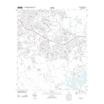
(33)- 1894 Map of Gatesville
 1894 Gatesville1894 Print · USGSCentral Texas in the late nineteenth century was a landscape of expanding rail lines and established river settlements. Genealogists can trace family names across Pidcock Ranch, Fort Gates, and Coperas Cove, while following the path of the St. Louis Arkansas and Texas Railroad.4 unique versions available
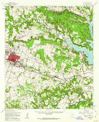
 - 1930 Map of Killeen
 1930 Killeen1930 Print · USGSBell County was a landscape of small school districts and river crossings in the early thirties. Genealogists can trace family roots through rural landmarks like Keyes Valley Sch, Youngsport, and the Santa Fe line at Stone Siding.2 unique versions available
 - 1947 Map of Fort Hood
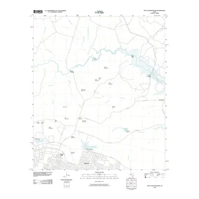
 1947 Fort Hood1947 Print · USGSCoryell and Lampasas Counties are shown here during the post-war expansion of military and rail infrastructure. Researchers can trace the layout of Fort Hood alongside rural landmarks like Willow Springs School, Starkle Cemetery, and the Variety Club Boys Ranch.
 - 1947 Map of Post Oak Mountain, 1953 Print
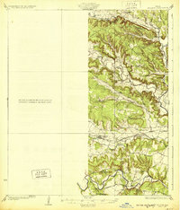
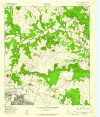
 1947 Post Oak Mountain1953 Print · USGSKilleen and the surrounding hill country are shown just after the war, as the military presence at Fort Hood transformed the local landscape. Genealogists and historians can trace early residential areas like Jan Mock Village or find old river crossings such as Mason Crossing and Riggs Ford.
 - 1947 Map of Killeen, 1953 Print
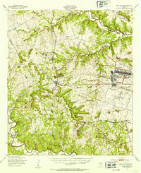
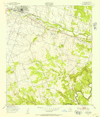
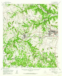
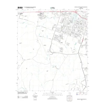
 1947 Killeen1953 Print · USGSBell and Coryell Counties appear here in the years following the war, showcasing the early growth of Killeen and the Fort Hood Military Reservation. Local historians can trace vanished schoolhouses and churches like Union Hill Sch and McDowell Ch alongside the Gulf Colorado and Santa Fe line.
 - 1947 Map of McMillan Mountains, 1953 Print
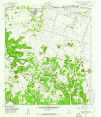
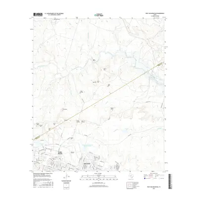
 1947 McMillan Mountains1953 Print · USGSCentral Texas hills and military expansion meet in the late 1940s near the Bell and Coryell county line. Researchers can trace family landmarks like Mayberry Cem and the Willow Springs Sch against the rising presence of the Fort Hood Military Reservation.
 - 1947 Map of Killeen, 1953 Print
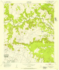
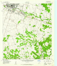
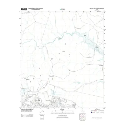
 1947 Killeen1953 Print · USGSKilleen was rapidly expanding just after the war as the neighboring military installation grew in importance. Researchers can trace the tracks of the Gulf Colorado and Santa Fe and find long-standing community landmarks like Evergreen Cem and Little Trimmer Creek Sch.
 - 1954 Map of Waco, 1964 Print
 1954 Waco1964 Print · USGSCentral Texas during the mid-fifties shows a landscape defined by the expansion of Fort Hood Military Reservation and the Brazos river system. Trace the rail lines and early airfields like James Connally Air Force Base and settlements like Temple or McGregor.2 unique versions available
 - 1955 Map of Waco
 1955 Waco1955 Print · USGSCentral Texas at the peak of the Cold War reveals a landscape defined by military expansion and major water projects. Researchers can trace the footprints of Fort Hood, the waters of Lake Waco, and regional hubs like Temple or Mexia.
 - 1958 Map of McMillan Mountains, 1961 Print
 1958 McMillan Mountains1961 Print · USGSBell and Coryell counties are shown during the late fifties as the military mission and early postwar growth began to reshape the landscape. Genealogists and local historians can locate the Brown Cem, trace the Lampasas River, and see the early layout of Kay Bee Heights.3 unique versions available
 - 1958 Map of Post Oak Mountain, 1961 Print
 1958 Post Oak Mountain1961 Print · USGSThe Texas Hill Country meets military expansion in the late fifties as Killeen grows toward the Fort Hood Military Reservation. Trace old river routes at Mason Crossing and Curry Crossing or locate landmarks like Sugar Loaf Mountain.2 unique versions available
 - 1958 Map of Killeen, 1961 Print
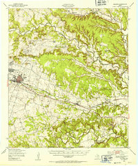
 1958 Killeen1961 Print · USGSKilleen was rapidly expanding in the late fifties as the neighboring military installation grew. Genealogists and historians can trace the footprint of early neighborhoods, schools like Marlboro Sch, and local burial sites including Pleasant Hill Cem.3 unique versions available
 - 1958 Map of Killeen, 1962 Print
 1958 Killeen1962 Print · USGSBell County in the late fifties shows a landscape in transition as the military presence at Fort Hood grows alongside established rail towns. Genealogists can trace early rural life through Pleasant Hill Cem, Keys Valley Ch, and the original streets of Nolanville.
 - 1958 Map of Fort Hood, 1962 Print
 1958 Fort Hood1962 Print · USGSThe Central Texas highlands meet military expansion in the late fifties as Fort Hood grows alongside Copperas Cove. Genealogists and historians can trace rural roots at Twin Mountains Cem or locate the Variety Club Boys Ranch.
 - 1985 Map of Temple
 1985 Temple1985 Print · USGSCentral Texas in the mid-eighties shows a landscape of massive defense installations and deep-rooted farming communities. Genealogists and historians can trace the development of Temple and Gatesville, locate the Gatesville State School for Boys, or explore rural outposts like Zabcikville and Westphalia.2 unique versions available
 - 1994 Map of McMillan Mountains
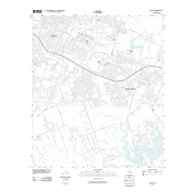
 1994 McMillan Mountains1994 Print · USGSCentral Texas in the early nineties shows the expansion of Killeen alongside the Fort Hood Military Reservation. Researchers can locate several family burial grounds like Mayberry Cem and Sibley Cem, or trace landmarks like Crossville Mountain and Montague Village.
 - 1994 Map of Post Oak Mountain, 1995 Print
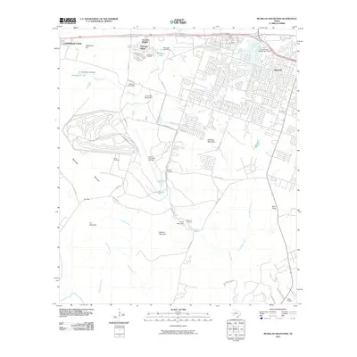
 1994 Post Oak Mountain1995 Print · USGSThe northern edge of Killeen meets the sprawling training grounds of the Fort Hood Military Reservation during the mid-nineties. Researchers can trace the military infrastructure of Hood Army Airfield and the residential streets of Walker Village alongside landmarks like Post Oak Mountain.
 - 1995 Map of Killeen
 1995 Killeen1995 Print · USGSBell County was undergoing rapid suburban and military expansion in the mid-nineties as the city limits of Killeen moved south toward the Lampasas River. Researchers can trace local heritage at Pleasant Hill Cem, follow the Atchison Topeka and Santa Fe rail line, or locate rural landmarks like Trimmier Ch and Cedar Gap.
 - 2010 Map of Killeen, 2010 Print
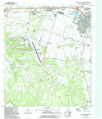
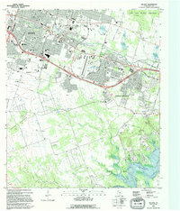
 2010 Killeen2010 Print · USGSCovers Killeen, including Harker Heights, Nolanville, and other nearby areas
 - 2010 Map of McMillan Mountains, 2010 Print
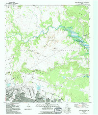
 2010 McMillan Mountains2010 Print · USGSCovers Killeen, including Copperas Cove, Mountain View Estates, and other nearby areas
 - 2010 Map of Post Oak Mountain, 2010 Print
 2010 Post Oak Mountain2010 Print · USGSCovers Killeen, including Wainwright Heights North, Patton Park, and other nearby areas
 - 2012 Map of Killeen, 2012 Print
 2012 Killeen2012 Print · USGSCovers Killeen, including Harker Heights, Nolanville, and other nearby areas
 - 2012 Map of McMillan Mountains, 2012 Print
 2012 McMillan Mountains2012 Print · USGSCovers Killeen, including Copperas Cove, Mountain View Estates, and other nearby areas
 - 2012 Map of Post Oak Mountain, 2012 Print
 2012 Post Oak Mountain2012 Print · USGSCovers Killeen, including Wainwright Heights North, Patton Park, and other nearby areas
 - 2016 Map of Post Oak Mountain, 2016 Print
 2016 Post Oak Mountain2016 Print · USGSCovers Killeen, including Wainwright Heights North, Patton Park, and other nearby areas
Showing maps 1-25 of 33
Top cities near Killeen
- Temple historical maps
- Harker Heights historical maps
- Copperas Cove historical maps
- Belton historical maps
- Nolanville historical maps
- Salado historical maps
See more
Top neighborhoods of Killeen
Frequently asked questions
- What are the different types of historical maps available for Killeen?
- What is the oldest map of Killeen?
- Where can I purchase historical maps of Killeen for my home or office?
- Where can I download high-res historical maps of Killeen?
- Are there historical topographic maps available for Killeen?
- Is there historical aerial imagery available for Killeen?
- Where are historical maps of Killeen sourced from?