1960s Maps of San Antonio, Texas
Explore 16 historic maps of San Antonio from the 1960s. These maps offer a rare glimpse into what life looked like during the 1960s — showing old roads, neighborhoods, homes, and landmarks that have changed or disappeared over time.
Whether you're researching your family's past, planning a metal detecting trip, or studying how San Antonio's landscape evolved across the 1960s, these high-resolution maps are a powerful tool for exploring the history of this region.
- Focus on a specific era: All maps on this page are from the 1960s, giving you a focused view of this time period.
- See what’s changed: Compare century-old streets, trails, and buildings to today's modern landscape using overlays and satellite layers.
- Research with precision: Use these maps for genealogy, historical research, land use analysis, or educational projects.
- View, download, or print: Maps are fully viewable online in high resolution, and can be downloaded or printed for your own records.
Start exploring San Antonio's history through authentic maps from the 1960s. This is your window into the past.
San Antonio, TX maps
(16)- 1965 Map of Camp Bullis, 1966 Print
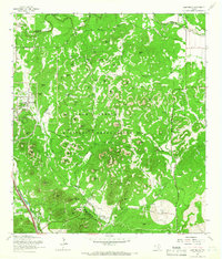 1965 Camp Bullis1966 Print · USGSBexar County was a hub of military training in the mid-1960s, defined by the expansive Leon Springs Military Reservation. Researchers can trace the Government Railroad and locate family landmarks like the Goforth Cem or Schasse Hill.2 unique versions available
 - 1966 Map of Culebra Hill, 1969 Print
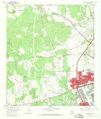 1966 Culebra Hill1969 Print · USGSBexar County experiences rapid suburban and military growth during the late sixties. Genealogists and historians can trace the development of Lackland City and Westwood Village near the historic Sociedad Cem and Medina Base.3 unique versions available
 - 1966 Map of Helotes, 1969 Print
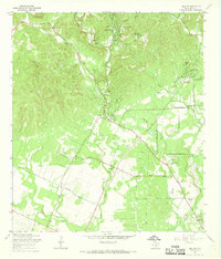 1966 Helotes1969 Print · USGSNorthwest of San Antonio in the late sixties, this area shows a landscape of creek valleys and early residential growth. Genealogists and local historians can locate several historic burial sites like Menchaca Cem, the community at Grey Forest, and landmarks such as Zion Ch.3 unique versions available
 - 1967 Map of Bulverde, 1969 Print
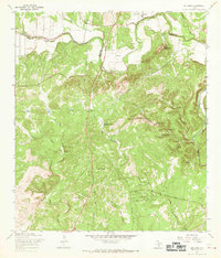 1967 Bulverde1969 Print · USGSThe Texas Hill Country at the Comal and Bexar County border remains a landscape of family-named landmarks and rural outposts in the late sixties. Genealogists and local historians can locate numerous family burial sites like Weidner Cem and Koch Cem or trace the early paths of Specht Road and Bulverde Road.2 unique versions available
 - 1967 Map of Van Raub, 1969 Print
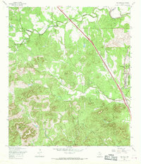 1967 Van Raub1969 Print · USGSBexar County's Hill Country transition comes into focus in the late 1960s as suburban growth began to meet historic ranchlands. Researchers can trace the Southern Pacific rail line, old school sites at Leon Springs, and family burial grounds like Robles Cem.3 unique versions available
 - 1967 Map of Longhorn, 1969 Print
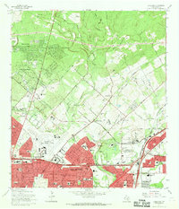 1967 Longhorn1969 Print · USGSNortheast San Antonio was rapidly transforming from ranchland to suburbs during the late sixties. Genealogists can locate several family cemeteries like Classen Cem and Schulmeier Cem tucked between the Missouri Pacific tracks and Hollywood Park.4 unique versions available
 - 1967 Map of Terrell Wells, 1969 Print
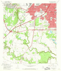 1967 Terrell Wells1969 Print · USGSSouth of San Antonio in the late 1960s, this area shows the intersection of military expansion and urban residential growth. Researchers can trace local genealogy through Hernandez Cem or locate industrial sites like the Leon Creek Powerplant and Garza Crossing.3 unique versions available
 - 1967 Map of Elmendorf, 1969 Print
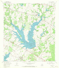 1967 Elmendorf1969 Print · USGSSoutheast of San Antonio in the late sixties, this survey captures a landscape defined by the new reservoirs and rural family settlements. Researchers can trace local heritage at San Lorenzo Cem, the Parita Ch, and the Eckert Oil Field.2 unique versions available
 - 1967 Map of Martinez, 1969 Print
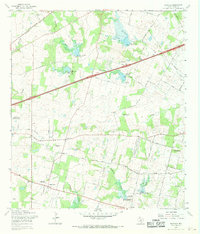 1967 Martinez1969 Print · USGSBexar County in the late sixties shows a landscape of steady rural growth and evolving water management projects. Researchers can trace family history through numerous landmarks like St Jerome Ch, Mount Olive Cem, and the community of China Grove.2 unique versions available
 - 1967 Map of Castle Hills, 1969 Print
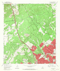 1967 Castle Hills1969 Print · USGSBexar County was undergoing a massive suburban transformation in the late sixties as the city limits moved north toward the military lands. Genealogists and local historians can trace the development of Oakland Estates, locate the Locke Hill Cemetery, and see the early footprint of the SW Texas Medical Center.2 unique versions available
 - 1967 Map of Bat Cave, 1969 Print
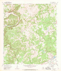 1967 Bat Cave1969 Print · USGSThe Comal County hill country comes to life in the late 1960s, showing the intersection of rail history and natural wonders. Genealogists can locate family sites like Hillert Cem and Kruetler Cem near the rail junction at Ogden.2 unique versions available
 - 1967 Map of Southton, 1969 Print
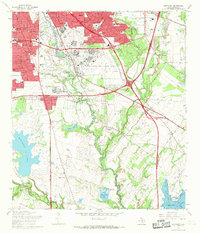 1967 Southton1969 Print · USGSSouth of San Antonio in the late sixties, this survey shows the historic mission corridor meeting modern aviation and industry. Trace family roots at San Jose Mission Cem or locate the old Cassin Siding along the Southern Pacific line.3 unique versions available
 - 1967 Map of Macdona, 1969 Print
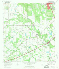 1967 Macdona1969 Print · USGSSouthwest of San Antonio in the late sixties, this area shows a landscape transitioning between rural ranching and growing military and industrial interests. Researchers can find numerous small burial sites like Hermann Cem and San Isidro Cem alongside the Southern Pacific rail line.3 unique versions available
 - 1967 Map of San Antonio East, 1969 Print
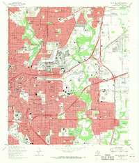 1967 San Antonio East1969 Print · USGSSan Antonio underwent a massive mid-century transformation, balancing its deep military roots with modern urban expansion. Researchers can trace historic parish schools and early suburban developments like East Terrell Hills, while identifying landmarks like Freeman Coliseum and the San Antonio Air Force Station.3 unique versions available
 - 1967 Map of Schertz, 1970 Print
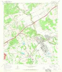 1967 Schertz1970 Print · USGSBexar and Guadalupe counties are captured in a period of rapid suburban growth in the late sixties. Genealogists can trace family names at Davenport Cem and Wheeler Cem while exploring the layout of Randolph Air Force Base.2 unique versions available
 - 1967 Map of San Antonio West, 1970 Print
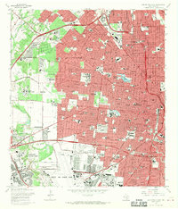 1967 San Antonio West1970 Print · USGSMid-century San Antonio is captured here during a period of massive military and suburban expansion. Researchers can trace the sprawling footprints of Lackland Air Force Base, old educational landmarks like Peacock Military Academy, and the early development of Leon Valley.3 unique versions available
End of results
Showing maps 1-16 of 16
Top cities near San Antonio
- Schertz historical maps
- Universal City historical maps
- Converse historical maps
- Live Oak historical maps
- Leon Valley historical maps
- Selma historical maps
See more
Top neighborhoods of San Antonio
- Southton historical maps
- Boldtville historical maps
- Cassin historical maps
- Hilltop historical maps
- Westover Hills historical maps
- Stone Oak historical maps
See more
Frequently asked questions
- What are the different types of historical maps available for San Antonio?
- What is the oldest map of San Antonio?
- Where can I purchase historical maps of San Antonio for my home or office?
- Where can I download high-res historical maps of San Antonio?
- Are there historical topographic maps available for San Antonio?
- Is there historical aerial imagery available for San Antonio?
- Where are historical maps of San Antonio sourced from?