Old Maps of Walnut Springs, Texas for Academic Research
Study the evolution of Walnut Springs with 17 high-resolution historic maps. Whether you're teaching, researching, or modeling changes in land use, these maps provide essential visual documentation of urban, environmental, and geographic change.
- Analyze long-term change: Track patterns in development, transportation, and natural features.
- Ideal for environmental or urban studies: Support academic projects with primary historical map data.
- Use in the classroom or lab: Educators and researchers rely on these maps to bring historical context to life.
These maps are a powerful tool for teaching, research, and visualizing how Walnut Springs has changed over the decades.
Walnut Springs, TX maps
(17)- 1889 Map of Granbury
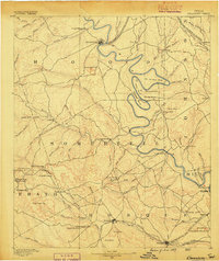 1889 Granbury1889 Print · USGSIn the late 1880s, the Brazos River dictated the life and travel of North Texas, carving deep bends through Hood and Somervell counties. Genealogists and historians can trace early settlements like Fort Spunky and Glenrose or the routes of the Texas Central Railroad.6 unique versions available
 - 1931 Map of Morgan
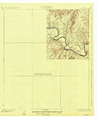 1931 Morgan1931 Print · USGSThe Brazos River's dramatic winding oxbows define this rural Texas landscape in the 1920s where Somervell, Johnson, and Bosque Counties meet. Genealogists and local historians can trace family roots at Brazos Point or find old school sites like Frog Hollow Sch and Highland Sch.2 unique versions available
 - 1954 Map of Dallas, 1963 Print
 1954 Dallas1963 Print · USGSNorth Texas in the mid-fifties and early sixties reveals a landscape of rapid urban growth and water management. Genealogists and historians can trace the evolution of the metroplex through landmarks like Hensley Field, Boles Orphan Home, and the Texas & Pacific RR.4 unique versions available
 - 1958 Map of Dallas
 1958 Dallas1958 Print · USGSNorth Texas in the late fifties shows the dramatic expansion of the Metroplex as it absorbs surrounding farm towns. Genealogists and historians can trace old rail lines like the Missouri-Kansas-Texas and locate early lakefront developments at Eagle Mountain Lake and Lake Worth Village.
 - 1966 Map of Walnut Springs West, 1968 Print
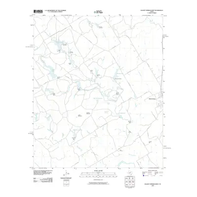
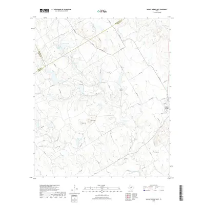
 1966 Walnut Springs West1968 Print · USGSNorthwest Bosque County in the mid-1960s shows a landscape of established cattle ranching and shifting transportation lines. You can trace the footprint of the Flat Top Ranch, locate the Fulton Cem, and see the abandoned rail line at Walnut Springs.
 - 1966 Map of Walnut Springs East, 1989 Print
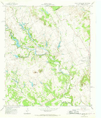
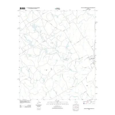
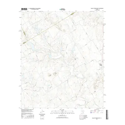
 1966 Walnut Springs East1989 Print · USGSWalnut Springs and the surrounding Bosque County hills are captured in the mid-sixties, showing a landscape shaped by shifting rail and utility lines. Researchers can trace the Abandoned rail corridor through town and locate local landmarks like Willow Springs Ch, Oak Grove Cem, and the old Katy Park.
 - 1985 Map of Cleburne
 1985 Cleburne1985 Print · USGSThe Brazos River valley and its major mid-century reservoirs dominate this North Central Texas landscape during the 1980s. Local researchers can trace family roots through sites like Mt Carmel Ch, Oak Hill Sch, and the unique river bends near Glen Rose.2 unique versions available
 - 2010 Map of Walnut Springs West, 2010 Print
 2010 Walnut Springs West2010 Print · USGSCovers Walnut Springs, including Erath County, Bosque County, and other nearby areas
 - 2010 Map of Walnut Springs East, 2010 Print
 2010 Walnut Springs East2010 Print · USGSCovers Walnut Springs, including Bosque County, United States, and other nearby areas
 - 2012 Map of Walnut Springs West, 2012 Print
 2012 Walnut Springs West2012 Print · USGSCovers Walnut Springs, including Erath County, Bosque County, and other nearby areas
 - 2013 Map of Walnut Springs East, 2013 Print
 2013 Walnut Springs East2013 Print · USGSCovers Walnut Springs, including Bosque County, United States, and other nearby areas
 - 2016 Map of Walnut Springs West, 2016 Print
 2016 Walnut Springs West2016 Print · USGSCovers Walnut Springs, including Erath County, Bosque County, and other nearby areas
 - 2016 Map of Walnut Springs East, 2016 Print
 2016 Walnut Springs East2016 Print · USGSCovers Walnut Springs, including Bosque County, United States, and other nearby areas
 - 2019 Map of Walnut Springs West, 2019 Print
 2019 Walnut Springs West2019 Print · USGSCovers Walnut Springs, including Erath County, Bosque County, and other nearby areas
 - 2019 Map of Walnut Springs East, 2019 Print
 2019 Walnut Springs East2019 Print · USGSCovers Walnut Springs, including Bosque County, United States, and other nearby areas
 - 2022 Map of Walnut Springs West, 2022 Print
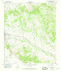
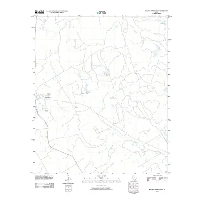
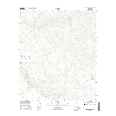
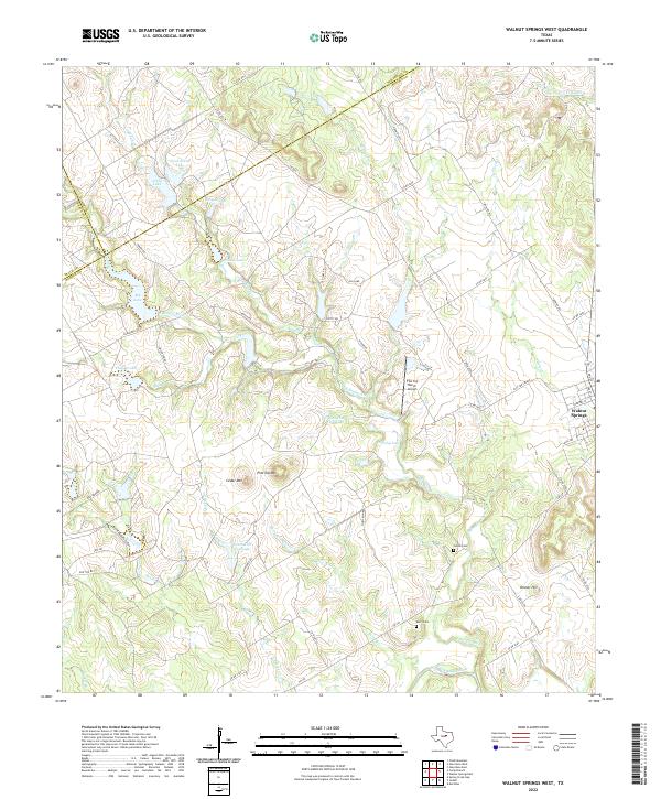 2022 Walnut Springs West2022 Print · USGSBosque County ranching country is documented here at the start of the 2020s, showing a landscape of mesas and managed water. Researchers can trace family history at Fulton Cem or explore the drainage of the E Bosque River near Flat Top Mtn.
 - 2022 Map of Walnut Springs East, 2022 Print
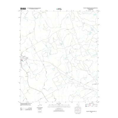
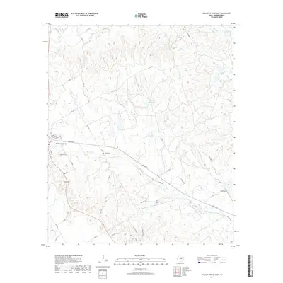
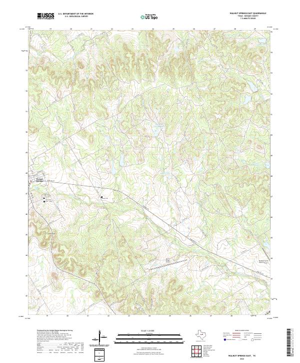 2022 Walnut Springs East2022 Print · USGSBosque County ranching and rural aviation come into focus in the recent era just east of the city. Genealogists and local historians can trace family locations near Oak Grove Cem - North, Russell Cem, and the unique Devil's Finger Airport.
End of results
Showing maps 1-17 of 17
Top cities near Walnut Springs
- Cleburne historical maps
- Glen Rose historical maps
- Meridian historical maps
- Morgan historical maps
- Iredell historical maps
Frequently asked questions
- What are the different types of historical maps available for Walnut Springs?
- What is the oldest map of Walnut Springs?
- Where can I purchase historical maps of Walnut Springs for my home or office?
- Where can I download high-res historical maps of Walnut Springs?
- Are there historical topographic maps available for Walnut Springs?
- Is there historical aerial imagery available for Walnut Springs?
- Where are historical maps of Walnut Springs sourced from?