2010s Maps of Alvin, Texas
Explore 64 historic maps of Alvin from the 2010s. These maps offer a rare glimpse into what life looked like during the 2010s — showing old roads, neighborhoods, homes, and landmarks that have changed or disappeared over time.
Whether you're researching your family's past, planning a metal detecting trip, or studying how Alvin's landscape evolved across the 2010s, these high-resolution maps are a powerful tool for exploring the history of this region.
- Focus on a specific era: All maps on this page are from the 2010s, giving you a focused view of this time period.
- See what’s changed: Compare century-old streets, trails, and buildings to today's modern landscape using overlays and satellite layers.
- Research with precision: Use these maps for genealogy, historical research, land use analysis, or educational projects.
- View, download, or print: Maps are fully viewable online in high resolution, and can be downloaded or printed for your own records.
Start exploring Alvin's history through authentic maps from the 2010s. This is your window into the past.
Alvin, TX maps
(64)- 2010 Map of Manvel, 2010 Print
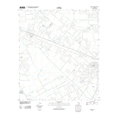 2010 Manvel2010 Print · USGSBrazoria County's coastal prairie comes into focus in 2010, showing the evolving relationship between old ranching lands and modern aviation. Genealogists and local historians can trace family sites at Manvel Cemetery and Booth Cemetery or locate local landmarks like Wolfe Air Park and Hastings Siding.
- 2010 Map of Juliff, 2010 Print
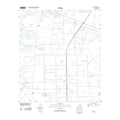 2010 Juliff2010 Print · USGSThe coastal prairies of Brazoria County are seen here in the early twenty-first century as suburban growth meets established rural industry. Researchers can trace family history at the Iowa Colony Cemetery or locate the historic Arcola Oil Field and Darrington State Prison Farm.
- 2010 Map of Friendswood, 2010 Print
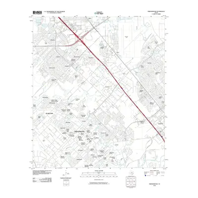 2010 Friendswood2010 Print · USGSSoutheast Texas at the start of the decade shows a suburban landscape woven into the coastal bayous and prairies. Researchers can trace the development around Ellington Field, the legacy of the Friendswood Oil Field, and the quiet grounds of Whitcomb Cemetery.
- 2010 Map of Mustang Bayou, 2010 Print
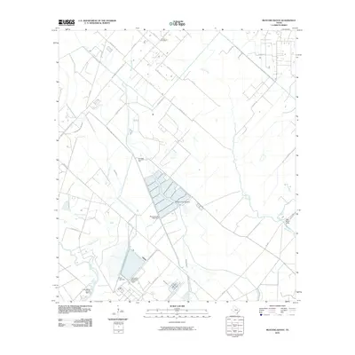 2010 Mustang Bayou2010 Print · USGSCoastal Brazoria County in the early twenty-first century is a landscape of industrial plants and winding waterways. Researchers can trace the sprawling Equistar Chemical Plant, find the German Cemetery, and locate the Chocolate Bayou Oil Field.
- 2010 Map of Rosharon, 2010 Print
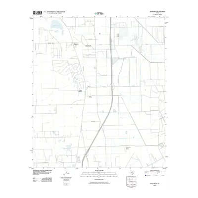 2010 Rosharon2010 Print · USGSBrazoria County's coastal prairie landscape is captured here in the first decade of the new millennium as the energy and aviation sectors shaped the region. Trace local family roots and land use near Rosharon, the Bonney Oil Field, and historic burial sites like Daughters Cemetery.
- 2010 Map of Liverpool, 2010 Print
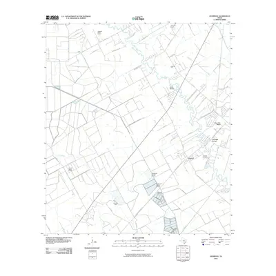 2010 Liverpool2010 Print · USGSCoastal Texas life in the early 21st century is defined here by the winding Chocolate Bayou and the industrial heritage of the Rowan Oil Field. Local researchers can trace family roots at Liverpool Cemetery and explore the rural infrastructure of Chocolate Springs.
- 2010 Map of Thompsons, 2010 Print
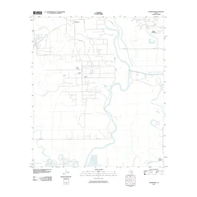 2010 Thompsons2010 Print · USGSFort Bend County's river-fed lowlands are captured here in the decade following the turn of the millennium. Genealogists and local historians can trace the area's development through landmarks like Booker T Washington School, Thompsons Oil Field, and Humble Camp.
- 2010 Map of Algoa, 2010 Print
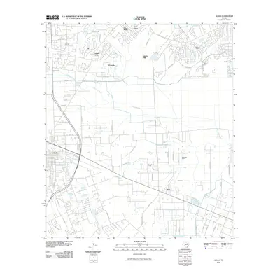 2010 Algoa2010 Print · USGSCoastal prairie life and suburban expansion define this 2010 look at the corridor between Alvin and Algoa. Researchers can locate legacy sites like the Magnolia Cemetery and the Hastings Oil Field alongside the winding Dickinson Bayou.
- 2010 Map of Danbury, 2010 Print
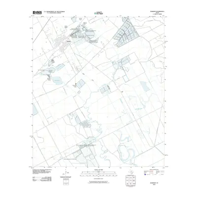 2010 Danbury2010 Print · USGSThe coastal prairies of Brazoria County are seen here in the early twenty-first century, dominated by bayous and massive reservoir systems. Genealogists and researchers can trace local landmarks like Danbury, the Danbury Dome Oil Field, and the Salaika Aviation Airport.
- 2010 Map of Christmas Point, 2010 Print
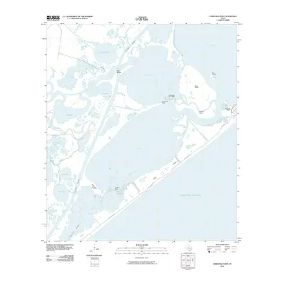 2010 Christmas Point2010 Print · USGSCoastal Galveston County in the early twenty-first century reveals a landscape of intricate bayous, reefs, and barrier islands. Trace the path of the Blue Water Hwy along the shore or locate maritime landmarks like Port Morris and Arcadia Reef.
- 2010 Map of Otey, 2010 Print
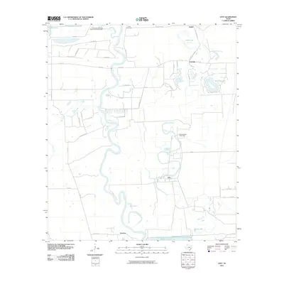 2010 Otey2010 Print · USGSBrazoria County is captured here in the early twenty-first century as a landscape defined by the winding meanders of the Brazos River. Researchers can locate old settlements like Orozimbo and Lochridge or trace the extensive grounds of the Ramsey State Prison Farm.
- 2010 Map of Sea Isle, 2010 Print
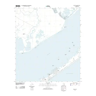 2010 Sea Isle2010 Print · USGSThe coastal developments and marshy inlets of West Galveston Island appear in great detail at the start of the 2010s. Modern researchers can trace the canal layouts of Terramar Beach and Sea Isle or locate shoreline features like Rattlesnake Mound and Alligator Point.
- 2010 Map of Oyster Creek, 2010 Print
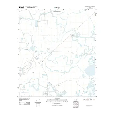 2010 Oyster Creek2010 Print · USGSCoastal Brazoria County is shown here in the early 21st century, where the oil industry meets the bayous and sloughs of the Gulf Coast. Researchers can locate family landmarks like Hoskins Cemetery and trace the industrial footprint of the Stratton Ridge Oil Field.
- 2010 Map of Hitchcock, 2010 Print
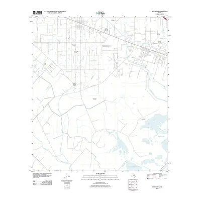 2010 Hitchcock2010 Print · USGSHitchcock and the Texas coastal prairie are captured here during a period of industrial and residential stability. Genealogists and local historians can locate several major burial sites, including Alta Loma Cemetery, and trace the extensive network of energy sites like the Sarah White Oil Field.
- 2010 Map of Pearland, 2010 Print
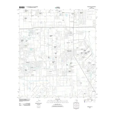 2010 Pearland2010 Print · USGSPearland and the surrounding Harris County suburbs appear here in a period of significant residential expansion and industrial activity. Genealogists and local historians can trace family roots through the Old Pearland Cemetery or explore the impact of the Mykawa Oil Field and Houston Airpark on the local landscape.
- 2010 Map of San Luis Pass, 2010 Print
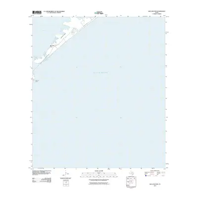 2010 San Luis Pass2010 Print · USGSGalveston's southwest tip and the coastal pass are captured here in the decade before major shoreline changes. Researchers can trace the path of San Luis Pass Rd as it reaches toward San Luis Island and Red Fish Cove.
- 2013 Map of Mustang Bayou, 2013 Print
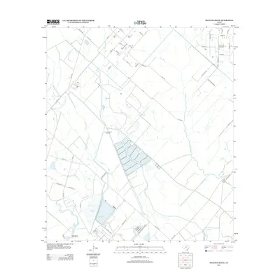 2013 Mustang Bayou2013 Print · USGSCoastal Brazoria County in the early twenty-first century reveals a landscape shaped by oil extraction and waterway management. Genealogists and local researchers can locate the German Cem or trace industrial footprints at the Chocolate Bayou Oil Field and Monsanto Reservoir.
- 2013 Map of Juliff, 2013 Print
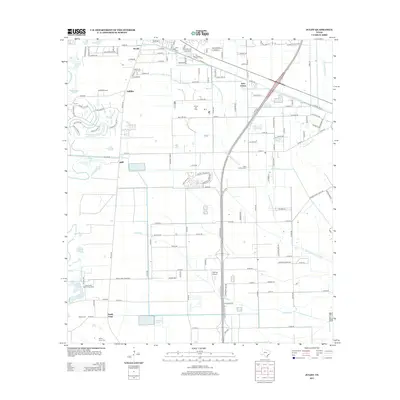 2013 Juliff2013 Print · USGSBrazoria County’s coastal prairie landscape is captured here in the early 21st century as suburban growth meets traditional Texas industry. Researchers can trace the Arcola Oil Field, the grounds of Darrington State Prison Farm, and local burial sites like Iowa Colony Cem.
- 2013 Map of Pearland, 2013 Print
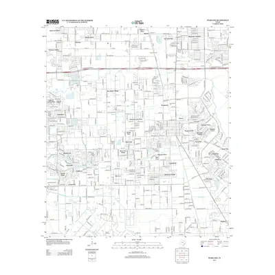 2013 Pearland2013 Print · USGSPearland and the surrounding Harris County suburbs are shown here in the early twenty-first century, a period of significant residential and industrial density. Genealogists and local historians can trace family plots at the Old Pearland Cem or explore the aviation footprint at Skyway Manor Airport and Houston Airpark.
- 2013 Map of Algoa, 2013 Print
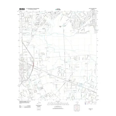 2013 Algoa2013 Print · USGSThe community of Algoa sits at the intersection of energy production and coastal expansion during the early twenty-first century. Researchers can trace the layout of the Hastings Oil Field alongside local landmarks like Magnolia Cem and the Kami-Kazi Airport.
- 2013 Map of Manvel, 2013 Print
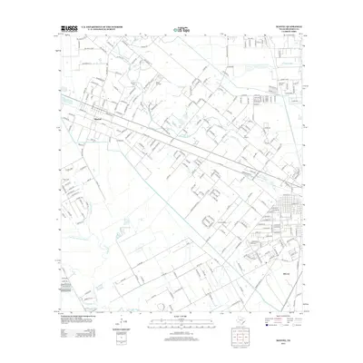 2013 Manvel2013 Print · USGSBrazoria County's coastal prairie transition is captured here in the early twenty-first century as suburban expansion meets traditional aviation and rail roots. Researchers can trace local lineage at Manvel Cem or locate the Hastings Siding and Wolfe Air Park.
- 2013 Map of San Luis Pass, 2013 Print
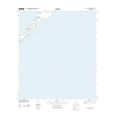 2013 San Luis Pass2013 Print · USGSGalveston Island meets the sea at its southwestern terminus in the years following the turn of the century. Trace coastal infrastructure and shorelines near San Luis Pass, including waterfront developments along Bay Breeze Dr and Red Fish Cove.
- 2013 Map of Sea Isle, 2013 Print
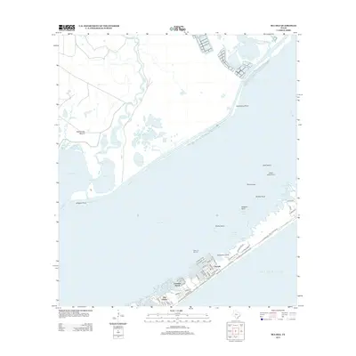 2013 Sea Isle2013 Print · USGSGalveston Island's western end is documented here in the early twenty-first century, showcasing its specialized canal-front communities. Trace the growth of Sea Isle and Terramar Beach alongside coastal landmarks like Rattlesnake Mound.
- 2013 Map of Rosharon, 2013 Print
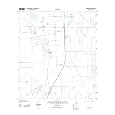 2013 Rosharon2013 Print · USGSBrazoria County settlements and oil fields are captured here during a period of residential growth south of Houston. Researchers can trace family sites at Pilgrim Cem, locate the Bonney Oil Field, and explore the banks of Austin Bayou.
- 2013 Map of Danbury, 2013 Print
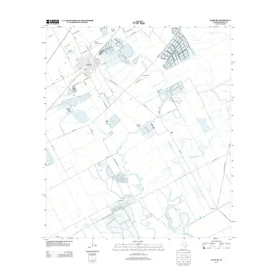 2013 Danbury2013 Print · USGSBrazoria County's coastal prairies are documented here in the early twenty-first century, showing a landscape defined by water management and energy production. Genealogists and local historians can trace family-named landmarks like Bieri Lakes or locate the Danbury Dome Oil Field and Knapé Airport.
Showing maps 1-25 of 64
Top cities near Alvin
- Pearland historical maps
- League City historical maps
- Missouri City historical maps
- Galveston historical maps
- Friendswood historical maps
- Lake Jackson historical maps
See more
Top neighborhoods of Alvin
Frequently asked questions
- What are the different types of historical maps available for Alvin?
- What is the oldest map of Alvin?
- Where can I purchase historical maps of Alvin for my home or office?
- Where can I download high-res historical maps of Alvin?
- Are there historical topographic maps available for Alvin?
- Is there historical aerial imagery available for Alvin?
- Where are historical maps of Alvin sourced from?