Old Maps of Jones Creek, Texas for Academic Research
Study the evolution of Jones Creek with 28 high-resolution historic maps. Whether you're teaching, researching, or modeling changes in land use, these maps provide essential visual documentation of urban, environmental, and geographic change.
- Analyze long-term change: Track patterns in development, transportation, and natural features.
- Ideal for environmental or urban studies: Support academic projects with primary historical map data.
- Use in the classroom or lab: Educators and researchers rely on these maps to bring historical context to life.
These maps are a powerful tool for teaching, research, and visualizing how Jones Creek has changed over the decades.
Jones Creek, TX maps
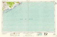
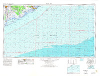
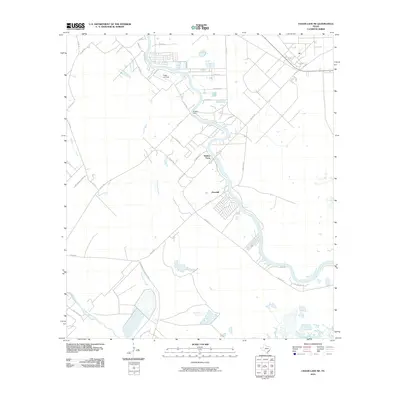
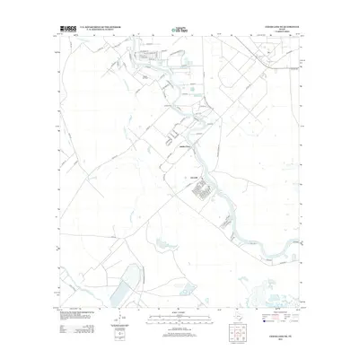
(28)- 1943 Map of Jones Creek
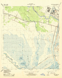 1943 Jones Creek1943 Print · USGSBrazoria County's coastal delta is captured here during the early 1940s as industry and infrastructure began to reshape the marshlands. Genealogists and local historians can trace family locations near Perry Landing, the Oakland Sch, and the Velasco Cem along the Brazos River.2 unique versions available
 - 1943 Map of Snipe, 1959 Print
 1943 Snipe1959 Print · USGSCoastal Brazoria County was undergoing a mid-century transformation as suburban development met traditional river bottomlands. Researchers can trace the early street grid of Lake Jackson, the sprawling Retrieve State Farm, and local landmarks like Trueona Ch and Wharton Cem.2 unique versions available
 - 1950 Map of Houston, 1953 Print
 1950 Houston1953 Print · USGSCoastal Texas in the early fifties reveals a landscape of massive civil engineering and industrial transit. Genealogists and researchers can trace the growth of the Houston suburbs and the maritime infrastructure of Galveston Bay, including the Gulf Freeway and the Texas City Dike.
 - 1951 Map of Bay City
 1951 Bay City1951 Print · USGSThe mid-century Texas Gulf Coast comes to life in this survey of the delta region where the Brazos and Colorado Rivers meet the sea. Researchers can trace the industrial footprint of Freeport or locate family-named spots like Mangun and Hawkinsville.
 - 1952 Map of Cedar Lane NE, 1953 Print
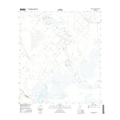
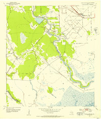 1952 Cedar Lane NE1953 Print · USGSBrazoria County at mid-century reveals a landscape defined by state land use and river-based industry along the Gulf Coast. Genealogists and historians can trace local landmarks like Jerusalem Sch, the rural Galilee Ch, and the industrial Sulphur Plant.3 unique versions available
 - 1956 Map of Houston, 1963 Print
 1956 Houston1963 Print · USGSSoutheast Texas in the mid-fifties is captured here as a powerhouse of oil and maritime trade. Genealogists and historians can trace the foundations of Houston and its ports, alongside landmarks like the Rice Institute and the Spindletop Oil Field.2 unique versions available
 - 1956 Map of Bay City, 1964 Print
 1956 Bay City1964 Print · USGSThe Texas Gulf Coast comes into focus in the mid-1950s, showing the intricate bayous and coastal settlements from Bay City to Freeport. Researchers can trace the legacy of shoreline communities like Sargent, Matagorda Beach, and Hawkinsville before modern coastal changes.2 unique versions available
 - 1958 Map of Bay City
 1958 Bay City1958 Print · USGSThe Texas Gulf Coast in the late fifties shows a landscape of growing petrochemical plants and intricate wetlands. Genealogists and historians can trace the paths of the Missouri Pacific railroad through Bay City or locate old settlements like Hinkle Ferry and Hawkinsville.
 - 1963 Map of Jones Creek, 1966 Print
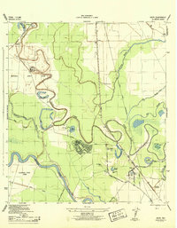
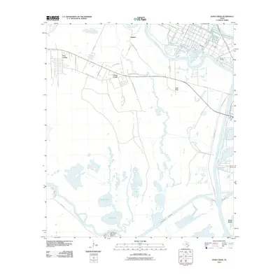
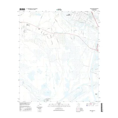
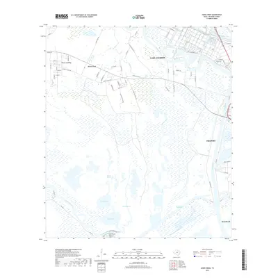
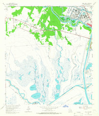 1963 Jones Creek1966 Print · USGSCoastal Brazoria County in the early 1960s reveals a landscape of marshy bayous and growing industry between two major rivers. Genealogists and researchers can locate the Velasco Cem, Gulf Prairie Ch, and the Austin Sch near the settlement of Jones Creek.2 unique versions available
 - 1963 Map of Lake Jackson, 1966 Print
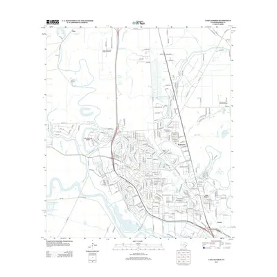
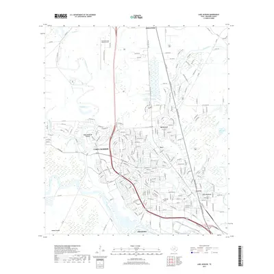
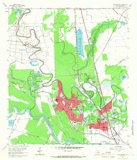 1963 Lake Jackson1966 Print · USGSIn the early 1960s, the Brazos River bottomlands saw the rapid growth of Lake Jackson and Clute amidst established correctional units. Researchers can trace local development through Lake Jackson, Lake Jackson Farms, and neighborhood landmarks like St Michaels Ch.4 unique versions available
 - 1974 Map of Bay City, 1978 Print
 1974 Bay City1978 Print · USGSThe Texas Gulf Coast in the mid-seventies reveals a landscape of sprawling wetlands and coastal transit hubs. Genealogists and historians can trace the rail corridors of the Missouri Pacific or locate early settlements like Wadsworth and Matagorda.
 - 1975 Map of Houston, 1977 Print
 1975 Houston1977 Print · USGSThe Texas Gulf Coast in the mid-seventies shows a sprawling Houston metropolis linked to the sea by the massive Houston Ship Channel. Researchers can trace the mid-century industrial landscape from the Astrodome to the Lyndon B. Johnson Space Center.2 unique versions available
 - 1984 Map of Angleton
 1984 Angleton1984 Print · USGSThe Texas Gulf Coast in the mid-eighties shows a landscape of salt domes and bayous at the height of its oil-and-river economy. Researchers can trace land use through the Damon Mound Oil Field and the sprawling State Department of Corrections (Retrieve Unit).2 unique versions available
 - 2010 Map of Cedar Lane NE, 2010 Print
 2010 Cedar Lane NE2010 Print · USGSCovers Jones Creek, including Hinkles Ferry, Churchill, and other nearby areas
 - 2010 Map of Jones Creek, 2010 Print
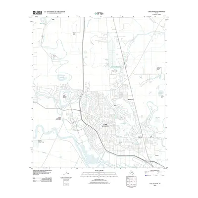
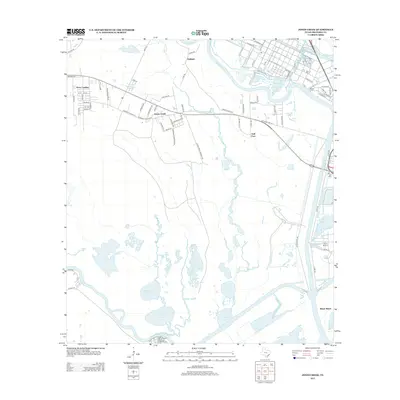
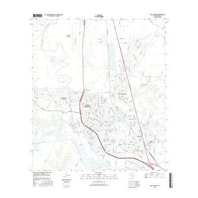
 2010 Jones Creek2010 Print · USGSCovers Jones Creek, including Lake Jackson, Freeport, and other nearby areas
 - 2010 Map of Lake Jackson, 2010 Print
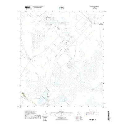
 2010 Lake Jackson2010 Print · USGSCovers Jones Creek, including Lake Jackson, Angleton, and other nearby areas
 - 2013 Map of Cedar Lane NE, 2013 Print
 2013 Cedar Lane NE2013 Print · USGSCovers Jones Creek, including Hinkles Ferry, Churchill, and other nearby areas
 - 2013 Map of Jones Creek, 2013 Print
 2013 Jones Creek2013 Print · USGSCovers Jones Creek, including Lake Jackson, Freeport, and other nearby areas
 - 2013 Map of Lake Jackson, 2013 Print
 2013 Lake Jackson2013 Print · USGSCovers Jones Creek, including Lake Jackson, Angleton, and other nearby areas
 - 2016 Map of Jones Creek, 2016 Print
 2016 Jones Creek2016 Print · USGSCovers Jones Creek, including Lake Jackson, Freeport, and other nearby areas
 - 2016 Map of Cedar Lane NE, 2016 Print
 2016 Cedar Lane NE2016 Print · USGSCovers Jones Creek, including Hinkles Ferry, Churchill, and other nearby areas
 - 2016 Map of Lake Jackson, 2016 Print
 2016 Lake Jackson2016 Print · USGSCovers Jones Creek, including Lake Jackson, Angleton, and other nearby areas
 - 2019 Map of Jones Creek, 2019 Print
 2019 Jones Creek2019 Print · USGSCovers Jones Creek, including Lake Jackson, Freeport, and other nearby areas
 - 2019 Map of Cedar Lane NE, 2019 Print
 2019 Cedar Lane NE2019 Print · USGSCovers Jones Creek, including Hinkles Ferry, Churchill, and other nearby areas
 - 2019 Map of Lake Jackson, 2019 Print
 2019 Lake Jackson2019 Print · USGSCovers Jones Creek, including Lake Jackson, Angleton, and other nearby areas
Showing maps 1-25 of 28
Top cities near Jones Creek
- Lake Jackson historical maps
- Alvin historical maps
- Angleton historical maps
- Freeport historical maps
- Clute historical maps
- West Columbia historical maps
See more
Top neighborhoods of Jones Creek
Frequently asked questions
- What are the different types of historical maps available for Jones Creek?
- What is the oldest map of Jones Creek?
- Where can I purchase historical maps of Jones Creek for my home or office?
- Where can I download high-res historical maps of Jones Creek?
- Are there historical topographic maps available for Jones Creek?
- Is there historical aerial imagery available for Jones Creek?
- Where are historical maps of Jones Creek sourced from?