
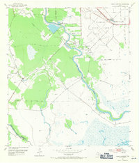
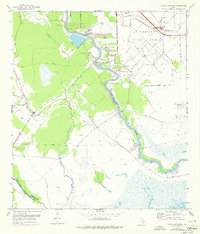
1952 Map of Cedar Lane NE
USGS Topo · Published 1953About this map
The San Bernard River winds through this coastal Texas landscape, serving as a central corridor for industry and transport in the early 1950s. Near the riverbanks, the Sulphur Plant and several Sulphur Wells indicate the extraction economy of the region, while an Aqueduct and Pipe Line system support the local infrastructure. To the northeast, the sprawling Clemens State Farm dominates the terrain, its structured grid of roads and fields bounded by the State Farm Boundary. Local life is anchored by several rural landmarks, including the Jerusalem Sch and Galilee Ch. Transport is facilitated by the Missouri Pacific railroad and historic crossing points like Hinkle Ferry and the Churchill Bridge. The southern portion of the map transitions into the marshy lowlands of Cocklebur Slough and Cedar Lake Creek at the Brazoria Co Matagorda Co line.
Find a feature on this map
17 named features on this map. Tap any name to fly to it.
Don’t see what you’re looking for? This feature index may not catch every label — zoom into the map to look around manually.
Map Details
Editions of this 1952 Cedar Lane NE Map
Other maps of this area

1943 · Jones Creek
USGS Topo · 1:31,680

1943 · Cedar Lakes East
USGS Topo · 1:24,000

1943 · Snipe
USGS Topo · 1:31,680

1950 · Houston
USGS Topo · 1:250,000

1951 · Bay City
USGS Topo · 1:250,000

1952 · Sweeny
USGS Topo · 1:24,000

1952 · Cedar Lakes West
USGS Topo · 1:24,000

1952 · Brazoria
USGS Topo · 1:24,000

1952 · Cedar Lane
USGS Topo · 1:24,000

1952 · Sargent
USGS Topo · 1:24,000