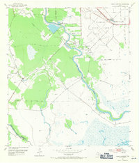
1952 Map of Cedar Lane NE
USGS Topo · Published 1971About this map
Clemens State Farm dominates the eastern landscape of this coastal Texas region, where the San Bernard River winds its way toward the Gulf. The map reveals an industrial and agricultural landscape shaped by the extraction of natural resources, evidenced by the Sulphur Plant and Sulphur Wells located near the Missouri Pacific railroad line.
Find a feature on this map
18 named features on this map. Tap any name to fly to it.
Don’t see what you’re looking for? This feature index may not catch every label — zoom into the map to look around manually.
Map Details
Editions of this 1952 Cedar Lane NE Map
Other maps of this area

1943 · Jones Creek
USGS Topo · 1:31,680

1943 · Cedar Lakes East
USGS Topo · 1:24,000

1943 · Snipe
USGS Topo · 1:31,680

1950 · Houston
USGS Topo · 1:250,000

1951 · Bay City
USGS Topo · 1:250,000

1952 · Sweeny
USGS Topo · 1:24,000

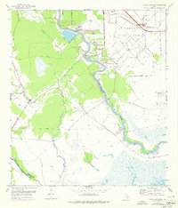
1952 · Cedar Lane NE
USGS Topo · 1:24,000

1952 · Cedar Lakes West
USGS Topo · 1:24,000

1952 · Brazoria
USGS Topo · 1:24,000

1952 · Cedar Lane
USGS Topo · 1:24,000