2000s (21st Century) Maps of Manvel, Texas
Explore 20 historic maps of Manvel from the 2000s (21st Century). These maps offer a rare glimpse into what life looked like during the 2000s — showing old roads, neighborhoods, homes, and landmarks that have changed or disappeared over time.
Whether you're researching your family's past, planning a metal detecting trip, or studying how Manvel's landscape evolved across the 2000s, these high-resolution maps are a powerful tool for exploring the history of this region.
- Focus on a specific era: All maps on this page are from the 2000s, giving you a focused view of this time period.
- See what’s changed: Compare century-old streets, trails, and buildings to today's modern landscape using overlays and satellite layers.
- Research with precision: Use these maps for genealogy, historical research, land use analysis, or educational projects.
- View, download, or print: Maps are fully viewable online in high resolution, and can be downloaded or printed for your own records.
Start exploring Manvel's history through authentic maps from the 2000s. This is your window into the past.
Manvel, TX maps
(20)- 2010 Map of Manvel, 2010 Print
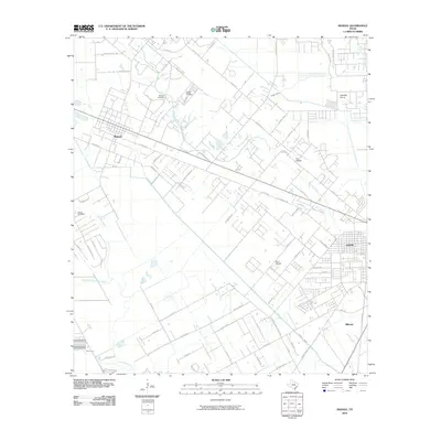 2010 Manvel2010 Print · USGSBrazoria County's coastal prairie comes into focus in 2010, showing the evolving relationship between old ranching lands and modern aviation. Genealogists and local historians can trace family sites at Manvel Cemetery and Booth Cemetery or locate local landmarks like Wolfe Air Park and Hastings Siding.
- 2010 Map of Juliff, 2010 Print
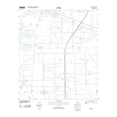 2010 Juliff2010 Print · USGSThe coastal prairies of Brazoria County are seen here in the early twenty-first century as suburban growth meets established rural industry. Researchers can trace family history at the Iowa Colony Cemetery or locate the historic Arcola Oil Field and Darrington State Prison Farm.
- 2010 Map of Almeda, 2010 Print
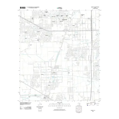 2010 Almeda2010 Print · USGSSouthern Houston and the neighboring Fresno area are documented here during a period of suburban expansion and industrial use. Researchers can locate specific sites like the Blue Ridge State Prison Farm, the Beth Jacob Cemetery, and the historic Arcola Junction.
- 2010 Map of Pearland, 2010 Print
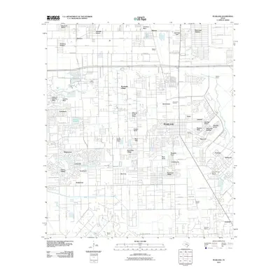 2010 Pearland2010 Print · USGSPearland and the surrounding Harris County suburbs appear here in a period of significant residential expansion and industrial activity. Genealogists and local historians can trace family roots through the Old Pearland Cemetery or explore the impact of the Mykawa Oil Field and Houston Airpark on the local landscape.
- 2013 Map of Juliff, 2013 Print
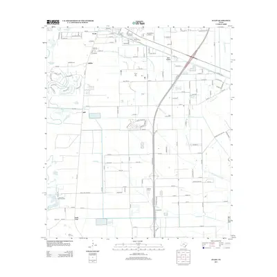 2013 Juliff2013 Print · USGSBrazoria County’s coastal prairie landscape is captured here in the early 21st century as suburban growth meets traditional Texas industry. Researchers can trace the Arcola Oil Field, the grounds of Darrington State Prison Farm, and local burial sites like Iowa Colony Cem.
- 2013 Map of Pearland, 2013 Print
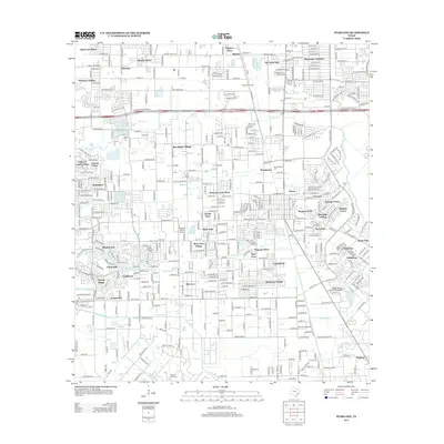 2013 Pearland2013 Print · USGSPearland and the surrounding Harris County suburbs are shown here in the early twenty-first century, a period of significant residential and industrial density. Genealogists and local historians can trace family plots at the Old Pearland Cem or explore the aviation footprint at Skyway Manor Airport and Houston Airpark.
- 2013 Map of Manvel, 2013 Print
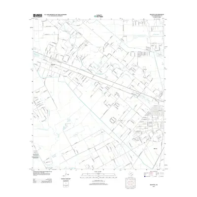 2013 Manvel2013 Print · USGSBrazoria County's coastal prairie transition is captured here in the early twenty-first century as suburban expansion meets traditional aviation and rail roots. Researchers can trace local lineage at Manvel Cem or locate the Hastings Siding and Wolfe Air Park.
- 2013 Map of Almeda, 2013 Print
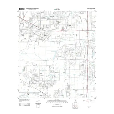 2013 Almeda2013 Print · USGSThe southern Houston suburbs meet industrial and agricultural lands in the early 2010s. Researchers can trace the layout of Fresno and Arcola, locate the Blue Ridge State Prison Farm, and identify the Beth Jacob Cem.
- 2016 Map of Juliff, 2016 Print
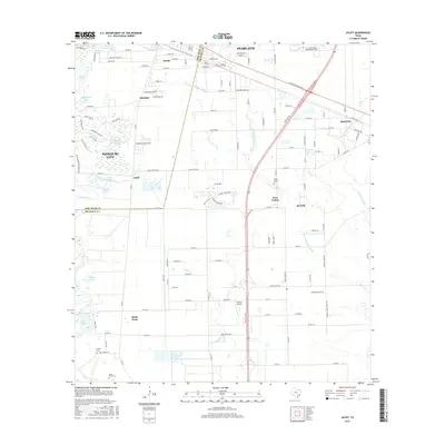 2016 Juliff2016 Print · USGSCoastal prairie and growing suburban reaches south of Houston are captured here in the mid-2010s. Genealogists and local historians can trace legacy sites like Sandy Point Cem, Woods Cem, and the former rail corridor along Old Sugarland Railroad Rd.
- 2016 Map of Manvel, 2016 Print
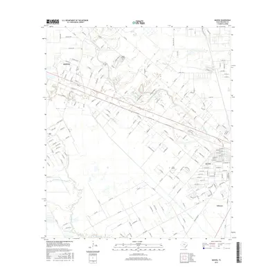 2016 Manvel2016 Print · USGSBrazoria County communities are captured here in the mid-2010s, showing the intersection of suburban growth and traditional prairie life. Researchers can locate local landmarks like Booth Cem, Wolfe Air Park, and the banks of Mustang Bayou.
- 2016 Map of Almeda, 2016 Print
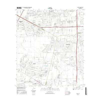 2016 Almeda2016 Print · USGSSouth Houston in the mid-2010s shows a rapidly changing landscape where historic settlements meet modern sprawl. Researchers can trace family sites near Beth Jacob Cem and old crossroads like Almeda, Fresno, and Arcola Junction.
- 2016 Map of Pearland, 2016 Print
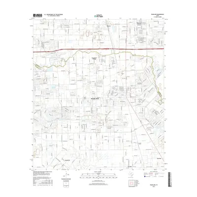 2016 Pearland2016 Print · USGSGreater Houston’s southern reach comes into focus during this mid-2010s period of suburban growth. You can trace established family landmarks like Old Pearland Cemetery and Dagg Cemetery or locate regional aviation sites such as Houston Airpark.
- 2019 Map of Juliff, 2019 Print
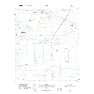 2019 Juliff2019 Print · USGSCoastal prairie life and modern expansion meet in this Brazoria County survey. Genealogists and local historians can trace burial sites at Iowa Colony Cem and Woods Cem, or explore the rural surroundings of Juliff and Sandy Point.
- 2019 Map of Manvel, 2019 Print
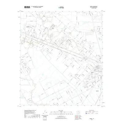 2019 Manvel2019 Print · USGSBrazoria County’s coastal prairie comes into focus in this late twenty-teens survey of the growing communities south of Houston. Researchers can trace family sites at Manvel Cem and Booth Cem or locate local landmarks like Wolfe Air Park.
- 2019 Map of Pearland, 2019 Print
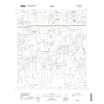 2019 Pearland2019 Print · USGSThe Pearland and Houston borderlands are documented in detail here during a period of significant suburban growth. Researchers can trace historic burial sites like Old Pearland Cem and identify aviation landmarks such as Houston Airpark and Skyway Manor Airport.
- 2019 Map of Almeda, 2019 Print
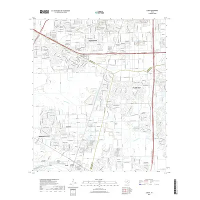 2019 Almeda2019 Print · USGSThe southern outskirts of Houston and the burgeoning suburbs of Pearland are captured here during a period of rapid development. Researchers can locate family sites and aviation landmarks like Arcola-Fresno Cem, Flyin' B Airport, and the rail corridors of Arcola Junction.
- 2022 Map of Manvel, 2022 Print
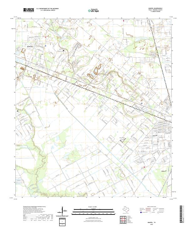 2022 Manvel2022 Print · USGSBrazoria County as it appeared recently shows the evolving landscape around Manvel and Alvin. Genealogists and local historians can trace family locations near Manvel Cem or follow the historic paths of Mustang Bayou and the Briscoe Canal.
- 2022 Map of Almeda, 2022 Print
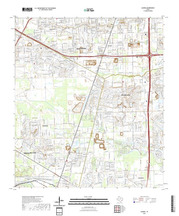 2022 Almeda2022 Print · USGSThe southern fringes of the Houston metro area come into focus in the 2020s, showing a landscape shaped by both bayous and beltways. Researchers can trace family history at the Almeda Cem or locate regional landmarks like the Houston/Southwest Airport.
- 2022 Map of Juliff, 2022 Print
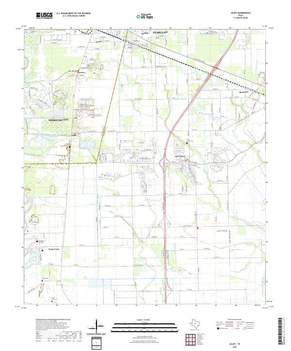 2022 Juliff2022 Print · USGSBrazoria County meets Fort Bend County in the early twenty-first century as suburban expansion reaches historic ranchlands. Researchers can locate several burial sites, including Iowa Colony Cem and Woods Cem, or trace the path of the Old Sugarland Railroad.
- 2022 Map of Pearland, 2022 Print
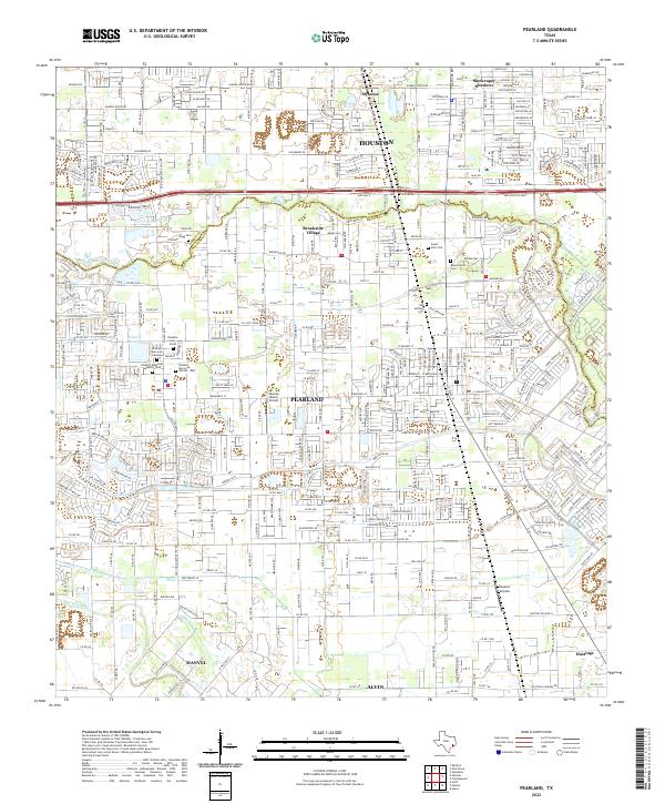 2022 Pearland2022 Print · USGSThe Pearland area in the early twenty-first century shows a landscape where historic burial grounds and small airfields meet modern suburban expansion. Genealogists can locate Old Settlers Cem and Southern Memorial Gardens among the newer developments.
End of results
Showing maps 1-20 of 20
Top cities near Manvel
- Houston historical maps
- Pasadena historical maps
- Pearland historical maps
- League City historical maps
- Sugar Land historical maps
- Missouri City historical maps
See more
Frequently asked questions
- What are the different types of historical maps available for Manvel?
- What is the oldest map of Manvel?
- Where can I purchase historical maps of Manvel for my home or office?
- Where can I download high-res historical maps of Manvel?
- Are there historical topographic maps available for Manvel?
- Is there historical aerial imagery available for Manvel?
- Where are historical maps of Manvel sourced from?