2000s (21st Century) Maps of Marble Falls, Texas
Explore 20 historic maps of Marble Falls from the 2000s (21st Century). These maps offer a rare glimpse into what life looked like during the 2000s — showing old roads, neighborhoods, homes, and landmarks that have changed or disappeared over time.
Whether you're researching your family's past, planning a metal detecting trip, or studying how Marble Falls's landscape evolved across the 2000s, these high-resolution maps are a powerful tool for exploring the history of this region.
- Focus on a specific era: All maps on this page are from the 2000s, giving you a focused view of this time period.
- See what’s changed: Compare century-old streets, trails, and buildings to today's modern landscape using overlays and satellite layers.
- Research with precision: Use these maps for genealogy, historical research, land use analysis, or educational projects.
- View, download, or print: Maps are fully viewable online in high resolution, and can be downloaded or printed for your own records.
Start exploring Marble Falls's history through authentic maps from the 2000s. This is your window into the past.
Marble Falls, TX maps
(20)- 2010 Map of Round Mountain, 2010 Print
 2010 Round Mountain2010 Print · USGSCovers Marble Falls, including Round Mountain, Cypress Mill, and other nearby areas
 - 2010 Map of Smithwick, 2010 Print
 2010 Smithwick2010 Print · USGSCovers Marble Falls, including Double Horn, Smithwick, and other nearby areas
 - 2010 Map of Marble Falls, 2010 Print
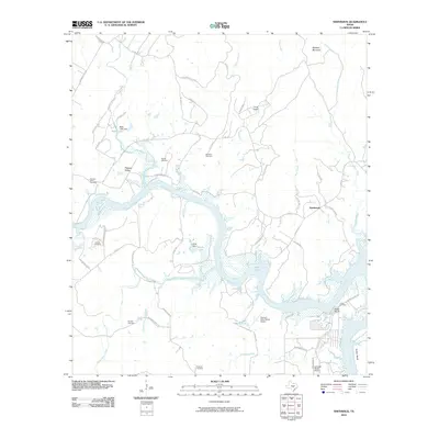
 2010 Marble Falls2010 Print · USGSCovers Marble Falls, including Horseshoe Bay, Granite Shoals, and other nearby areas
 - 2010 Map of Longhorn Cavern, 2010 Print
 2010 Longhorn Cavern2010 Print · USGSCovers Marble Falls, including Burnet, Demarco, and other nearby areas
 - 2012 Map of Smithwick, 2012 Print
 2012 Smithwick2012 Print · USGSCovers Marble Falls, including Double Horn, Smithwick, and other nearby areas
 - 2012 Map of Marble Falls, 2012 Print
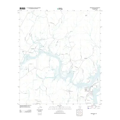
 2012 Marble Falls2012 Print · USGSCovers Marble Falls, including Horseshoe Bay, Granite Shoals, and other nearby areas
 - 2012 Map of Longhorn Cavern, 2012 Print
 2012 Longhorn Cavern2012 Print · USGSCovers Marble Falls, including Burnet, Demarco, and other nearby areas
 - 2012 Map of Round Mountain, 2012 Print
 2012 Round Mountain2012 Print · USGSCovers Marble Falls, including Round Mountain, Cypress Mill, and other nearby areas
 - 2016 Map of Marble Falls, 2016 Print
 2016 Marble Falls2016 Print · USGSCovers Marble Falls, including Horseshoe Bay, Granite Shoals, and other nearby areas
 - 2016 Map of Longhorn Cavern, 2016 Print
 2016 Longhorn Cavern2016 Print · USGSCovers Marble Falls, including Burnet, Demarco, and other nearby areas
 - 2016 Map of Round Mountain, 2016 Print
 2016 Round Mountain2016 Print · USGSCovers Marble Falls, including Round Mountain, Cypress Mill, and other nearby areas
 - 2016 Map of Smithwick, 2016 Print
 2016 Smithwick2016 Print · USGSCovers Marble Falls, including Double Horn, Smithwick, and other nearby areas
 - 2019 Map of Marble Falls, 2019 Print
 2019 Marble Falls2019 Print · USGSCovers Marble Falls, including Horseshoe Bay, Granite Shoals, and other nearby areas
 - 2019 Map of Round Mountain, 2019 Print
 2019 Round Mountain2019 Print · USGSCovers Marble Falls, including Round Mountain, Cypress Mill, and other nearby areas
 - 2019 Map of Smithwick, 2019 Print
 2019 Smithwick2019 Print · USGSCovers Marble Falls, including Double Horn, Smithwick, and other nearby areas
 - 2019 Map of Longhorn Cavern, 2019 Print
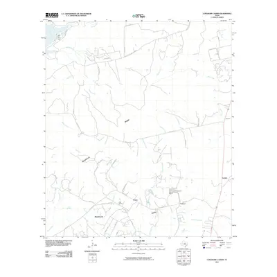
 2019 Longhorn Cavern2019 Print · USGSCovers Marble Falls, including Burnet, Demarco, and other nearby areas
 - 2022 Map of Marble Falls, 2022 Print
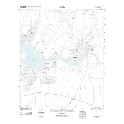
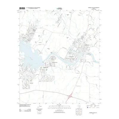
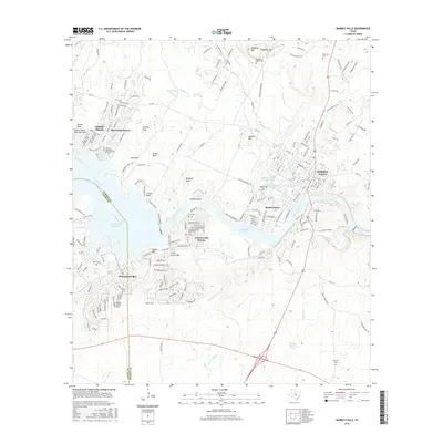
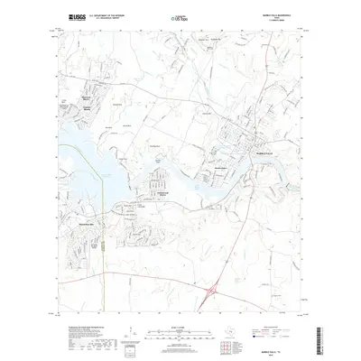
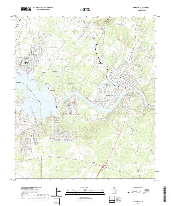 2022 Marble Falls2022 Print · USGSThe Colorado River corridor near Marble Falls comes alive in this contemporary survey of lakeside growth and granite geology. Researchers can trace family history at the Marble Falls City Cemetery or explore the shores of Lake Lyndon B Johnson and Lake Marble Falls.
 - 2022 Map of Longhorn Cavern, 2022 Print
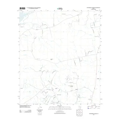
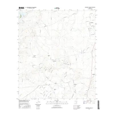
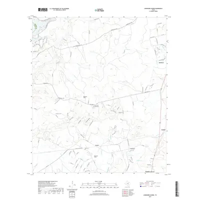
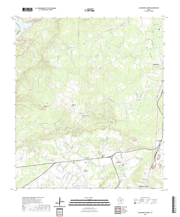 2022 Longhorn Cavern2022 Print · USGSBurnet County’s ranching and creek-carved terrain is documented here during the early twenty-first century. Researchers can locate family landmarks such as Tobyville Cemetery, Fairland Cem, and the prominent limestone height of Backbone Ridge.
 - 2022 Map of Smithwick, 2022 Print
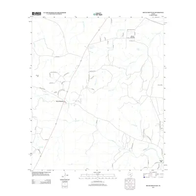
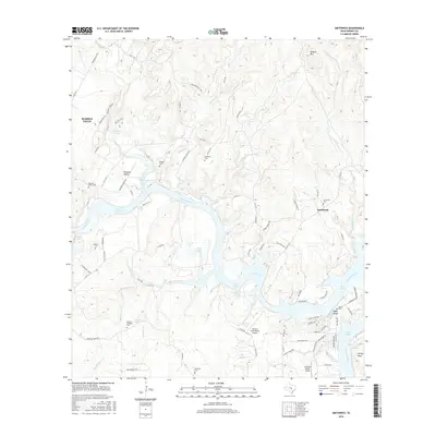
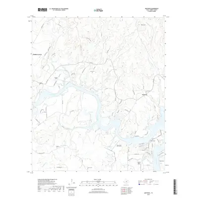
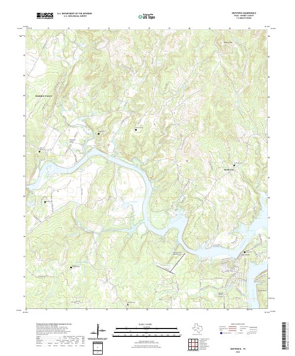 2022 Smithwick2022 Print · USGSThe Colorado River and Lake Travis shoreline are shown here in the early twenty-first century as they wind through Burnet County. Genealogists can locate several family burial sites, including Richland Cem, Richter Cem, and the community of Smithwick.
 - 2022 Map of Round Mountain, 2022 Print
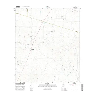
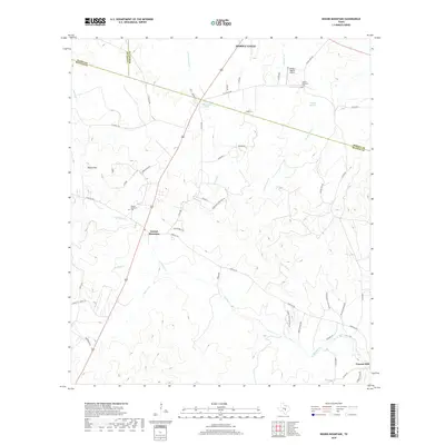
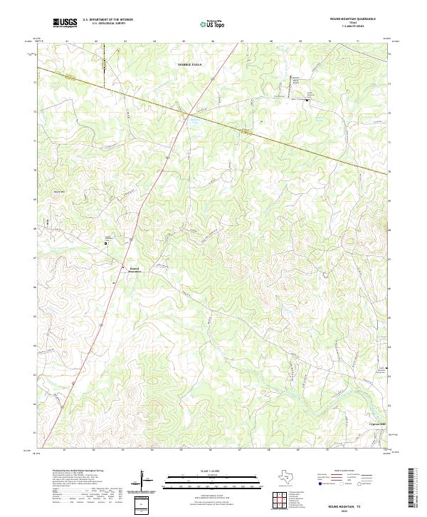 2022 Round Mountain2022 Print · USGSThe rural Hill Country at the meeting point of Blanco and Burnet counties is captured here in detail. Genealogists can trace family roots at the Goeth-Wenmohs Family Cemetery or locate the landmark Round Mountain.
End of results
Showing maps 1-20 of 20
Top cities near Marble Falls
- Burnet historical maps
- Horseshoe Bay historical maps
- Granite Shoals historical maps
- Meadowlakes historical maps
- Bertram historical maps
- Cottonwood Shores historical maps
See more
Frequently asked questions
- What are the different types of historical maps available for Marble Falls?
- What is the oldest map of Marble Falls?
- Where can I purchase historical maps of Marble Falls for my home or office?
- Where can I download high-res historical maps of Marble Falls?
- Are there historical topographic maps available for Marble Falls?
- Is there historical aerial imagery available for Marble Falls?
- Where are historical maps of Marble Falls sourced from?