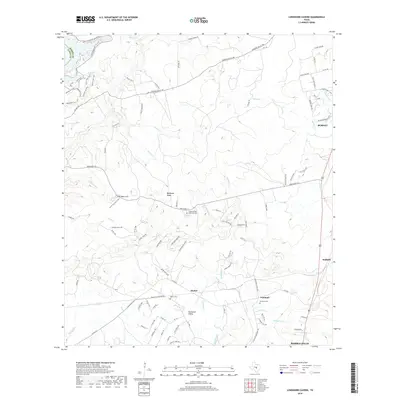
2019 Map of Longhorn Cavern
USGS Topo · Published 2019About this map
Backbone Ridge and the accompanying Backbone Valley dominate this Central Texas landscape north of Marble Falls. This area is defined by its complex karst topography, featuring landmarks such as Sam Bass Arch and the Karst Discovery Trail near the caverns. The settlement pattern follows the lower elevations and creek beds, with Scobee, Fairland, and Sudduth situated along the eastern and southern corridors. Extensive trail systems, including the Devil's-Backbone Nature Trail, Pecan Flats Trail, and Woodland Trail, crisscross the parklands, while numerous watercourses like Backbone Cr and Honey Cr drain the limestone terrain. For genealogists, the map identifies local burial sites such as Toby Cem and Fairland Cem, providing specific spatial context for family history research in Burnet County.
Find a feature on this map
104 named features on this map. Tap any name to fly to it.
Don’t see what you’re looking for? This feature index may not catch every label — zoom into the map to look around manually.
Map Details
Editions of this 2019 Longhorn Cavern Map
This is the sole edition of this map. No revisions or reprints were ever made.
Other maps of this area

1887 · Burnet
USGS Topo · 1:125,000

1893 · Burnet
USGS Topo · 1:125,000

1903 · Burnet
USGS Topo · 1:125,000

1909 · Burnet
USGS Topo · 1:125,000

1925 · Burnet 3-b
USGS Topo · 1:48,000
1925 · Burnet 2-c
USGS Topo · 1:48,000

1925 · Burnet 3-d
USGS Topo · 1:48,000

1929 · Marble Falls
USGS Topo · 1:62,500

1931 · Marble Falls
USGS Topo · 1:48,000

1932 · Tow
USGS Topo · 1:62,500