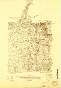
1925 Map of Burnet 2-c
USGS Topo · Published 1925About this map
The Colorado River snakes along the boundary of Llano and Burnet counties, carving a complex landscape of loops and dramatic turns. This mid-1920s survey captures a river-valley lifestyle defined by fords and rural community centers before modern reservoir projects altered the central Texas riverbanks. The settlement of Bluffton serves as a focal point, supported by the nearby Bluffton School and Bluffton Cemetery, while the village of Tow sits further upstream along the river's winding path.
Find a feature on this map
17 named features on this map. Tap any name to fly to it.
Don’t see what you’re looking for? This feature index may not catch every label — zoom into the map to look around manually.
Map Details
Editions of this 1925 Burnet 2-c Map
This is the sole edition of this map. No revisions or reprints were ever made.
Other maps of this area

1887 · Llano
USGS Topo · 1:125,000

1887 · Burnet
USGS Topo · 1:125,000

1893 · Burnet
USGS Topo · 1:125,000

1894 · Llano
USGS Topo · 1:125,000

1903 · Burnet
USGS Topo · 1:125,000

1904 · Llano
USGS Topo · 1:125,000

1909 · Llano
USGS Topo · 1:125,000

1909 · Burnet
USGS Topo · 1:125,000

1918 · Llano
USGS Topo · 1:125,000

1925 · Burnet 3-b
USGS Topo · 1:48,000